Why Propeller?
Industries
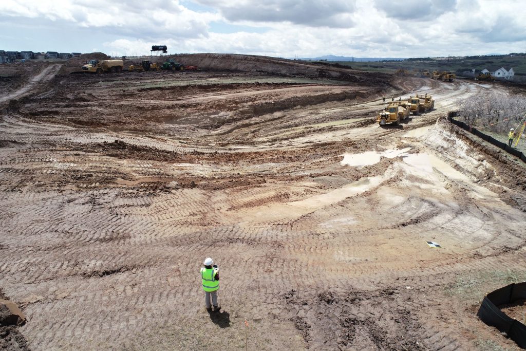
Construction
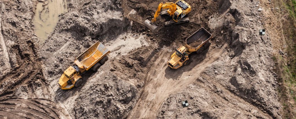
Aggregates + Mining
Waste Management
Survey + Engineering
Workflows
Map
Make data and survey processing simple.
Measure + Manage
Access insights and manage your site like never before.
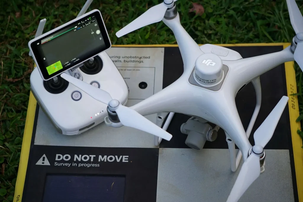
PPK Drone Mapping
Capture, process, and correct survey-grade drone data.
People
Culture + Values
Founders + Board
Open roles
Solutions
PLATFORM
Propeller
A cloud-based workspace where you can map, measure, and manage your site.
Hardware
AeroPoints
DirtMate
Drones + Sensors
Data Services
Photogrammetry Processing
Lidar Processing
Resources
Connect
Training + Support
Learn
Customer Stories
Resource Center
Knowledge Base
English
Deutsch
Login
Contact us
Contact us
Login
Why Propeller?
Industries
Construction
Aggregates + Mining
Waste Management
Survey + Engineering
Workflows
Map
Make data and survey processing simple.
Measure + Manage
Access insights and manage your site like never before.
People
Culture + Values
Founders + Board
Open roles
Solutions
PLATFORM
Propeller
Hardware
AeroPoints
DirtMate
Drones + Sensors
Data Services
Photogrammetry Processing
Lidar Survey Processing
Resources
Connect
Training + Support
Learn
Customer Stories
Resource Center
English
Deutsch
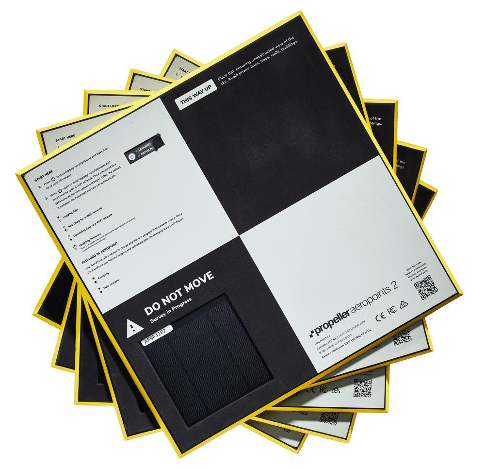
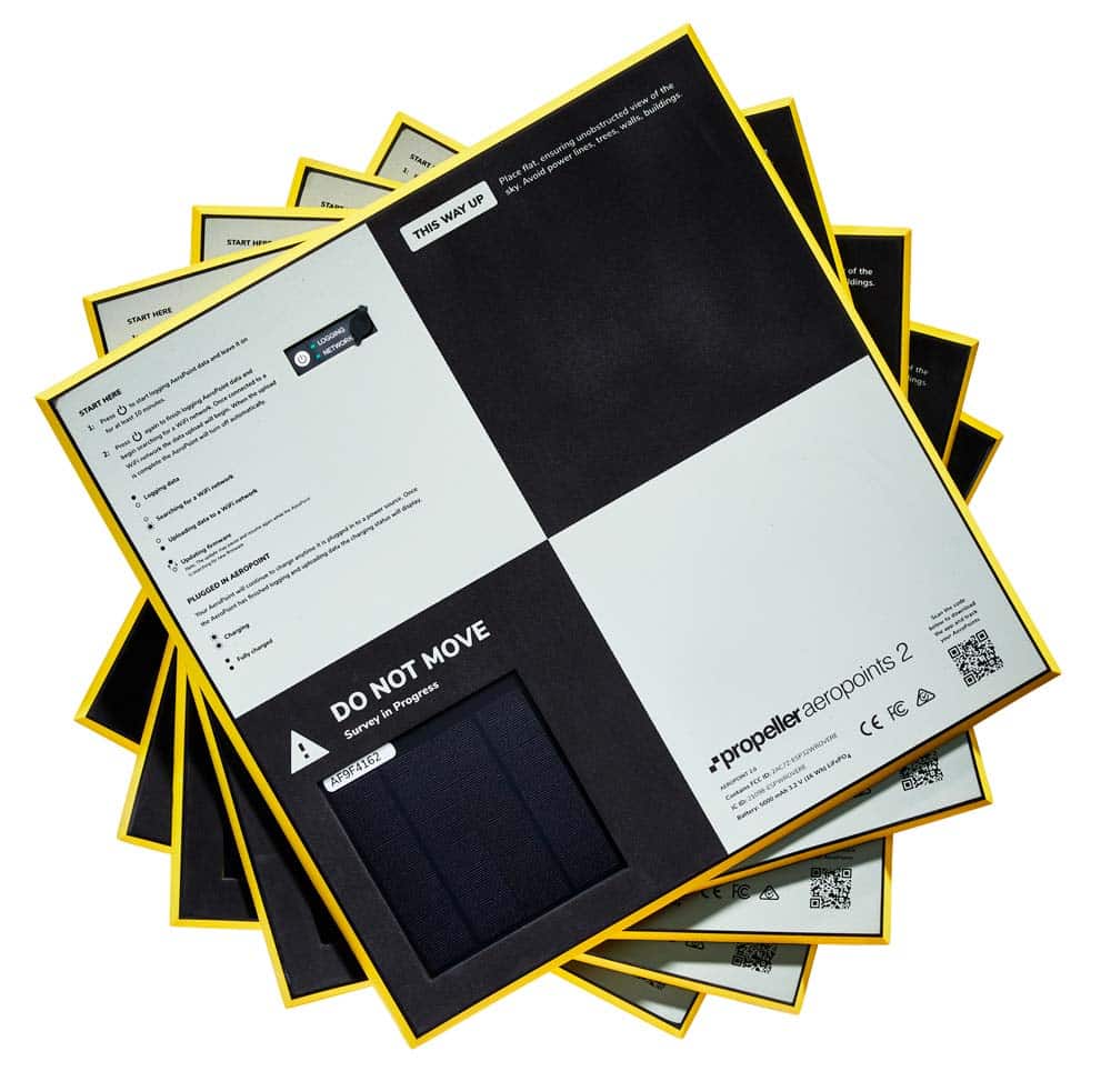
Why AeroPoints make all the difference in PPK drone surveying
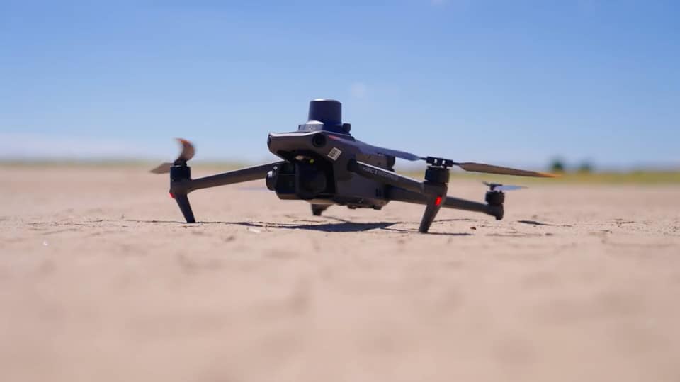
See how DJI’s Mavic 3 Enterprise drone and Propeller can help you better manage your site
Everything You Need to Start Drone Surveying
How AggieAir’s Adoption of AeroPoints Has Translated into Time and Money Saved
What Are GeoTIFF Files and How Are They Used
Drones in Construction – Why They Are Beneficial and How to Use Them
How Coordinate Reference Systems and Ground Control Can Deliver Survey-grade Accuracy
ABC’s of Drone Surveying: Defining Key Terms and Concepts
Drone Surveying: Why it’s Important and How it Works
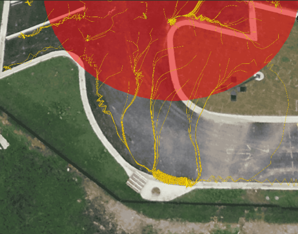
Track Potential Water Flow on Your Site with Propeller’s New Hydrology Feature
1
2
3
4
…
6
Next
Menu