Why Propeller?
Industries
Construction
Aggregates + Mining
Waste Management
Survey + Engineering
Workflows
Map
Make data and survey processing simple.
Measure + Manage
Access insights and manage your site like never before.
PPK Drone Mapping
Capture, process, and correct survey-grade drone data.
People
Culture + Values
Founders + Board
Open roles
Solutions
PLATFORM
Propeller
A cloud-based workspace where you can map, measure, and manage your site.
Hardware
AeroPoints
DirtMate
Drones + Sensors
Data Services
Photogrammetry Processing
Lidar Processing
Resources
Connect
Training + Support
Learn
Customer Stories
Resource Center
Knowledge Base
English
Deutsch
Login
Contact us
Contact us
Login
Why Propeller?
Industries
Construction
Aggregates + Mining
Waste Management
Survey + Engineering
Workflows
Map
Make data and survey processing simple.
Measure + Manage
Access insights and manage your site like never before.
People
Culture + Values
Founders + Board
Open roles
Solutions
PLATFORM
Propeller
Hardware
AeroPoints
DirtMate
Drones + Sensors
Data Services
Photogrammetry Processing
Lidar Survey Processing
Resources
Connect
Training + Support
Learn
Customer Stories
Resource Center
English
Deutsch
Celebrating Propeller’s Customers: Thank You For All You Do
Driving Digital Transformation in Construction with John Rygg, Kiewit and Mike Scott, Propeller Aero
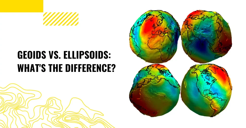
Geoid vs. Ellipsoid: What’s the Difference?
Tips for Mitigating Risk on Earthworks Projects with Technology
Lidar vs. photogrammetry: What’s best for your worksite?
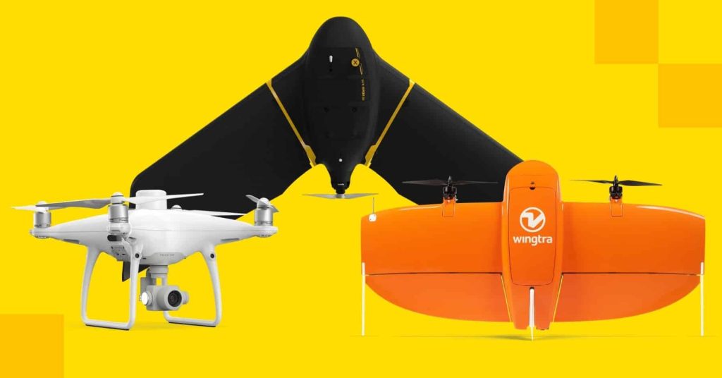
Fixed-Wing & VTOL Drones vs Quadcopters for Surveying: How to Decide
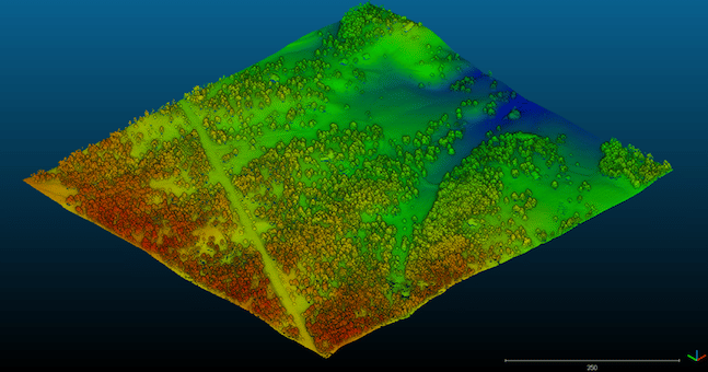
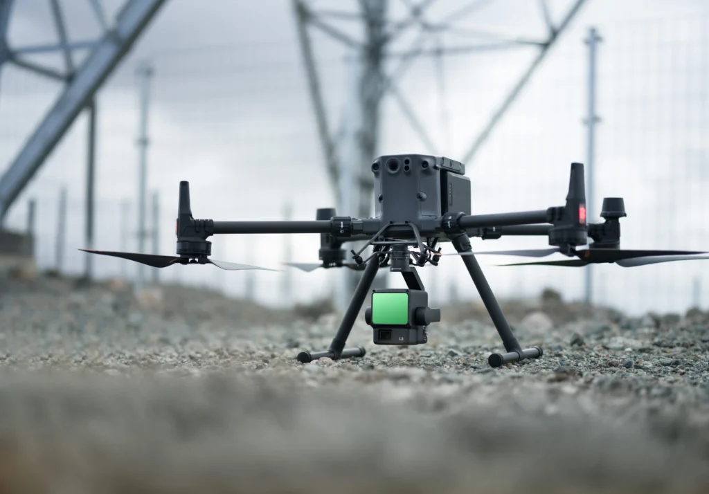
How Lidar Drone Surveying Works
Five Things You Can Do (Remotely) Right Now to Sharpen Your Drone Data Analytics Skills
10 Construction Project Cost Overrun Statistics You Need to Hear
Meet Your Propeller Engineering Team: Product Designer Mahsa Bayat
Previous
1
2
3
4
5
…
8
Next
Menu