Why Propeller?
Industries
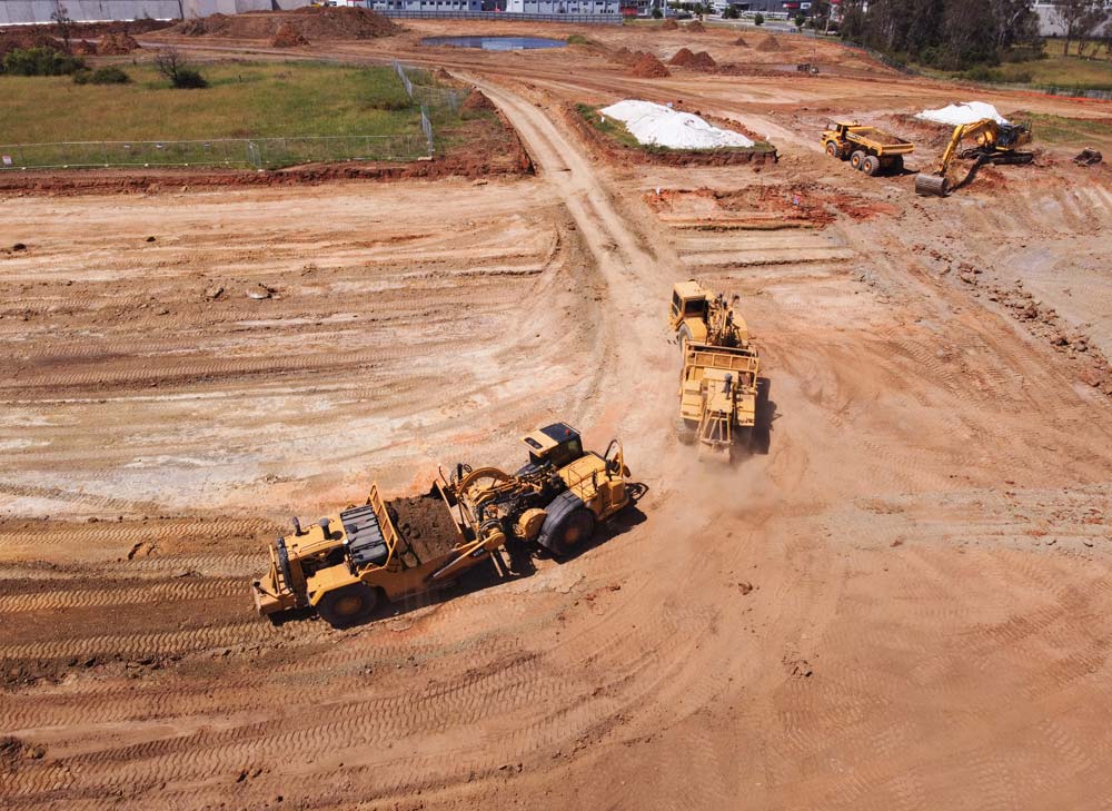
Construction
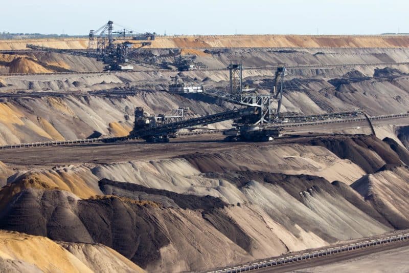
Aggregates + Mining
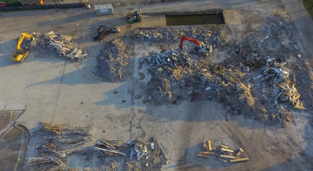
Waste Management
Survey + Engineering
Workflows
Map
Make data and survey processing simple.
Measure + Manage
Access insights and manage your site like never before.
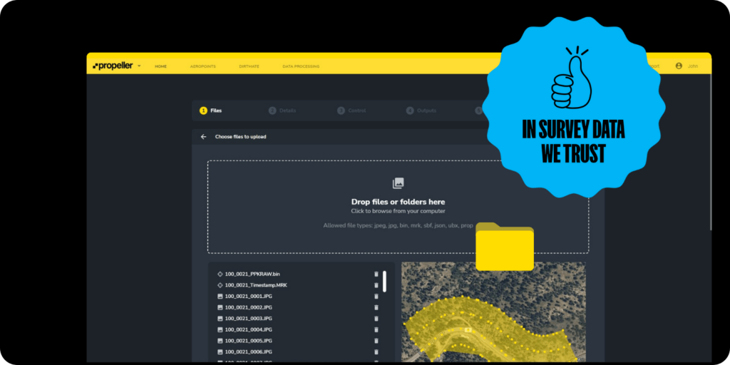
PPK Drone Mapping
Capture, process, and correct survey-grade drone data.
People
Culture + Values
Founders + Board
Open roles
Solutions
PLATFORM
Propeller
A cloud-based workspace where you can map, measure, and manage your site.
Hardware
AeroPoints
DirtMate
Drones + Sensors
Data Services
Photogrammetry Processing
Lidar Processing
Resources
Connect
Training + Support
Learn
Customer Stories
Resource Center
Knowledge Base
English
Deutsch
Login
Contact us
Contact us
Login
Why Propeller?
Industries
Construction
Aggregates + Mining
Waste Management
Survey + Engineering
Workflows
Map
Make data and survey processing simple.
Measure + Manage
Access insights and manage your site like never before.
People
Culture + Values
Founders + Board
Open roles
Solutions
PLATFORM
Propeller
Hardware
AeroPoints
DirtMate
Drones + Sensors
Data Services
Photogrammetry Processing
Lidar Survey Processing
Resources
Connect
Training + Support
Learn
Customer Stories
Resource Center
English
Deutsch
Centralizing project documentation: What data can you store and share in Propeller?
From trash to treasure: Propeller’s top 5 waste management workflows
Rock solid strategies: Propeller’s top 5 workflows for mining and aggregates
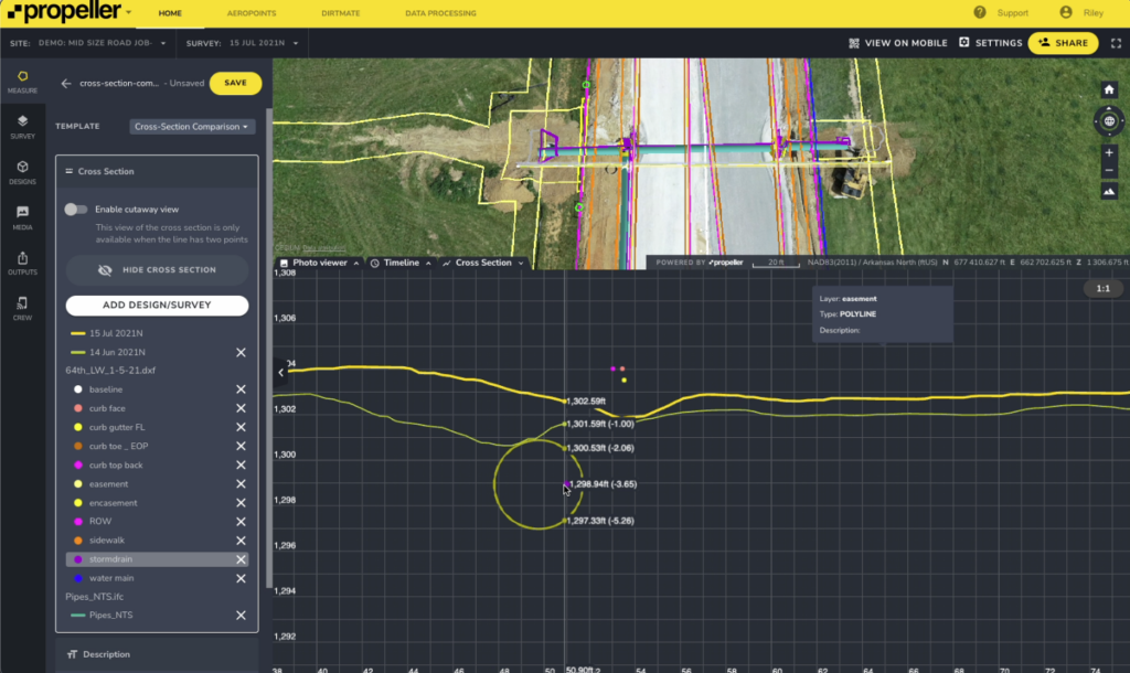
The top 5 earthwork progress-tracking workflows
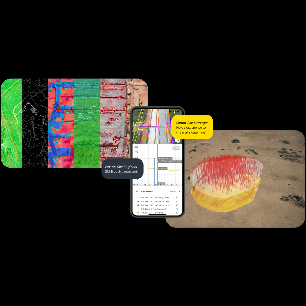
What are smart surveys? Everything you need to know
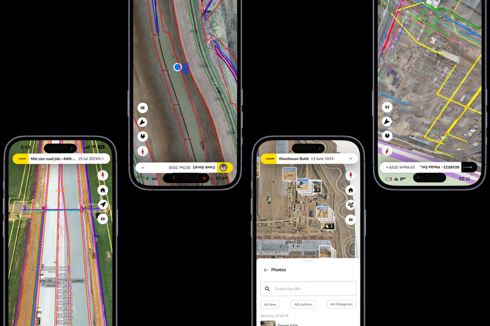
10 smart survey workflows your team can do from their phone
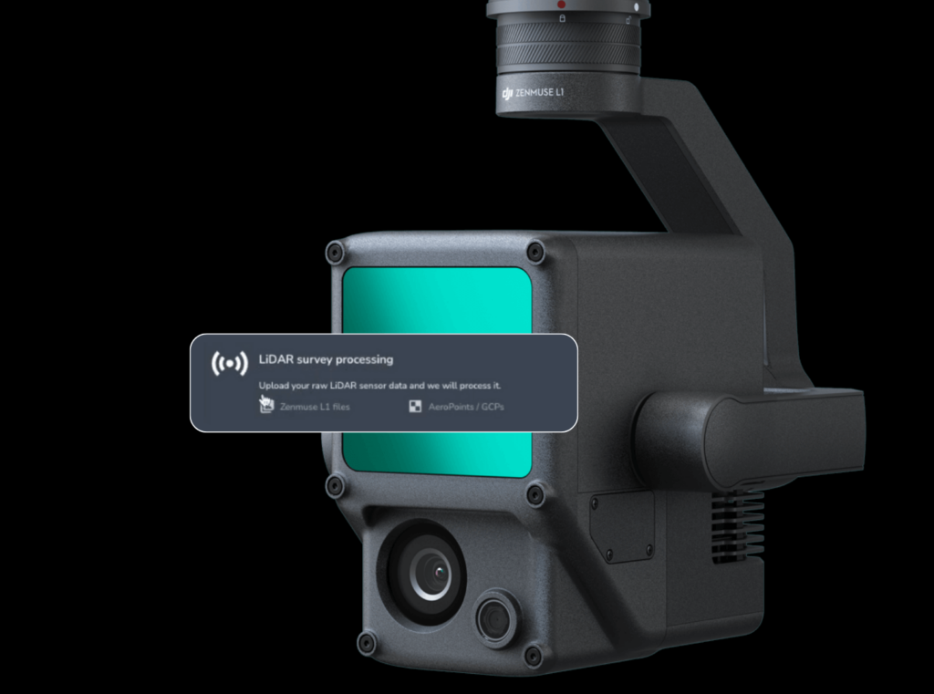
Lights, camera, lidar: Introducing lidar data processing for DJI’s Zenmuse L1/L2 sensor
Unearth your potential with underground utility mapping
Reality capture vs. smart surveys: What’s the difference?
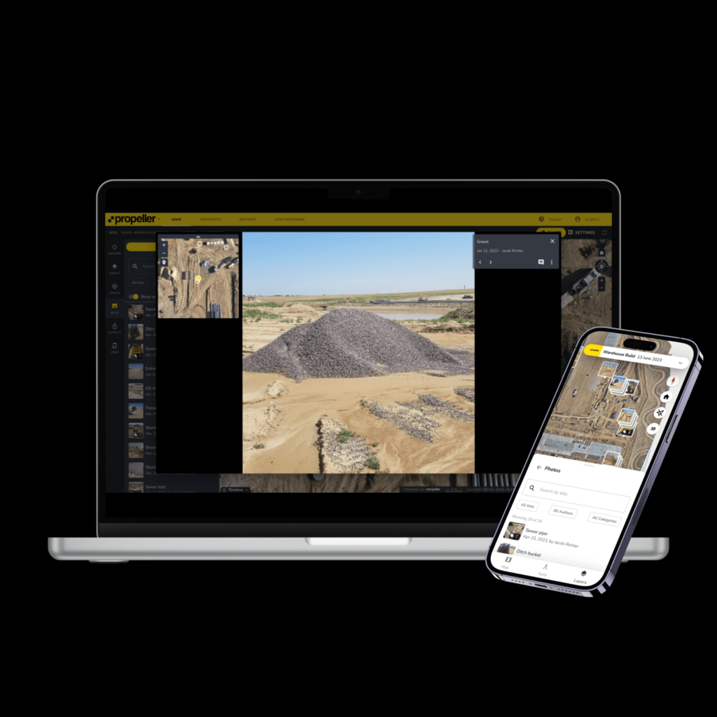
Introducing Media to the Propellerverse: Photos, messaging, and maps—oh my!
1
2
3
4
…
17
Next
Menu