Why Propeller?
Industries
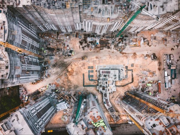
Construction
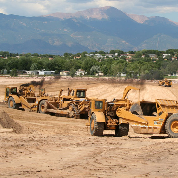
Aggregates + Mining
Waste Management
Survey + Engineering
Workflows
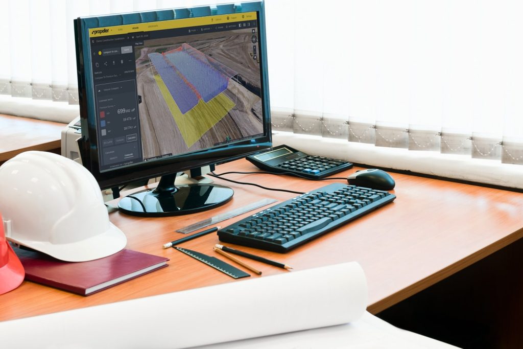
Map
Make data and survey processing simple.
Measure + Manage
Access insights and manage your site like never before.
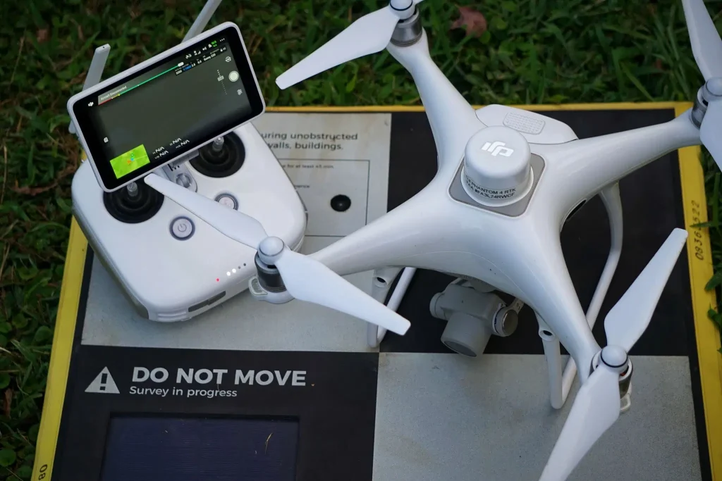
PPK Drone Mapping
Capture, process, and correct survey-grade drone data.
People
Culture + Values
Founders + Board
Open roles
Solutions
PLATFORM
Propeller
A cloud-based workspace where you can map, measure, and manage your site.
Hardware
AeroPoints
DirtMate
Drones + Sensors
Data Services
Photogrammetry Processing
Lidar Processing
Resources
Connect
Training + Support
Learn
Customer Stories
Resource Center
Knowledge Base
English
Deutsch
Login
Contact us
Contact us
Login
Why Propeller?
Industries
Construction
Aggregates + Mining
Waste Management
Survey + Engineering
Workflows
Map
Make data and survey processing simple.
Measure + Manage
Access insights and manage your site like never before.
People
Culture + Values
Founders + Board
Open roles
Solutions
PLATFORM
Propeller
Hardware
AeroPoints
DirtMate
Drones + Sensors
Data Services
Photogrammetry Processing
Lidar Survey Processing
Resources
Connect
Training + Support
Learn
Customer Stories
Resource Center
English
Deutsch
3 Reasons Why Now Is the Time to Invest in a Drone Surveying Program
Drones in Construction – Why They Are Beneficial and How to Use Them
ABC’s of Drone Surveying: Defining Key Terms and Concepts
How Drone Surveying Has Helped Rickabaugh Construction Become More Efficient and Save Money
3 Tips to Manage Change Orders (and Save Your Business Money)
Construction Software Solutions That Can Help Your Business
Women in Construction Q&A: Tezak Heavy Equipment’s Kyndra Tezak
How Earthworks and Civil Construction Can Better Protect Our Environment
Using Drones to Calculate Cut and Fill Volumes for Takeoff Reporting
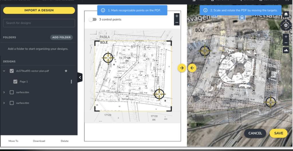
PDF Overlay: Quickly Identify Conflicts between Your Site Design and Current Conditions
1
2
3
4
…
7
Next
Menu