Why Propeller?
Industries
Construction
Aggregates + Mining
Waste Management
Survey + Engineering
Workflows
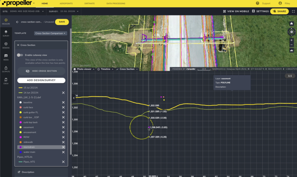
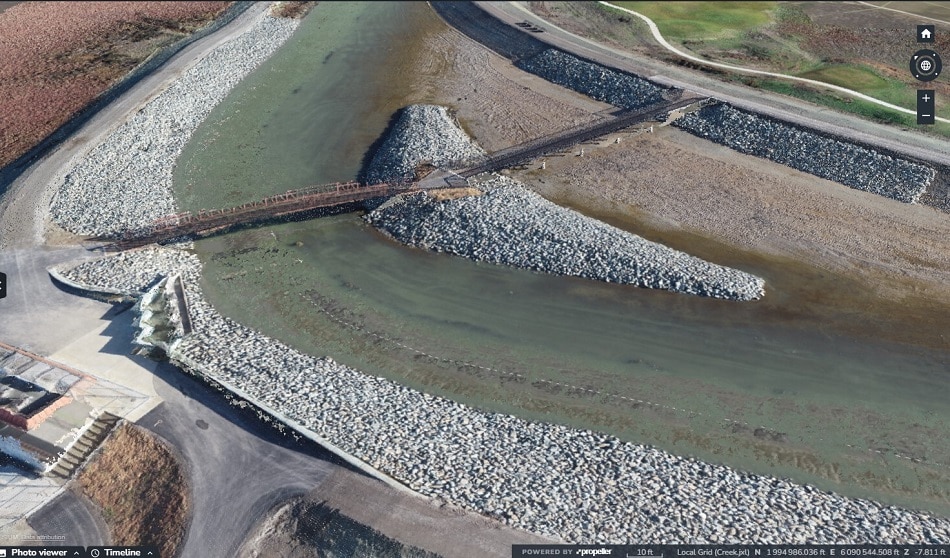
Map
Make data and survey processing simple.
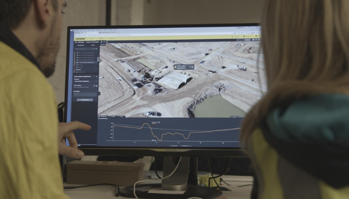
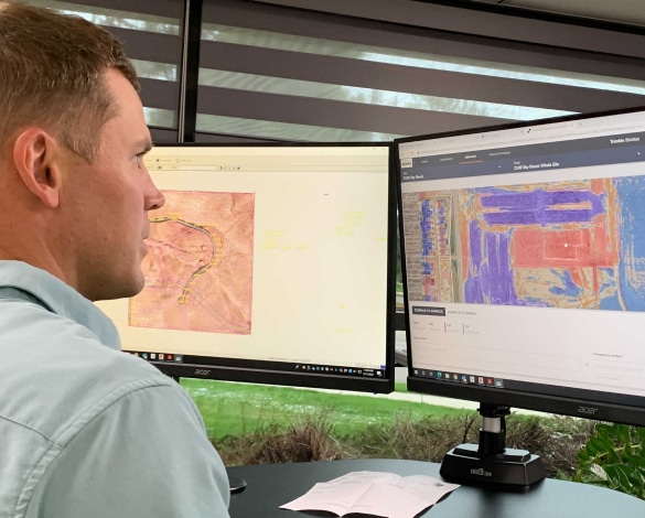
Measure + Manage
Access insights and manage your site like never before.
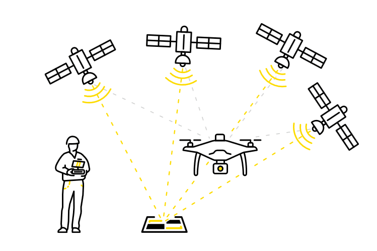
PPK Drone Mapping
Capture, process, and correct survey-grade drone data.
People
Culture + Values
Founders + Board
Open roles
Solutions
PLATFORM
Propeller
A cloud-based workspace where you can map, measure, and manage your site.
Hardware
AeroPoints
DirtMate
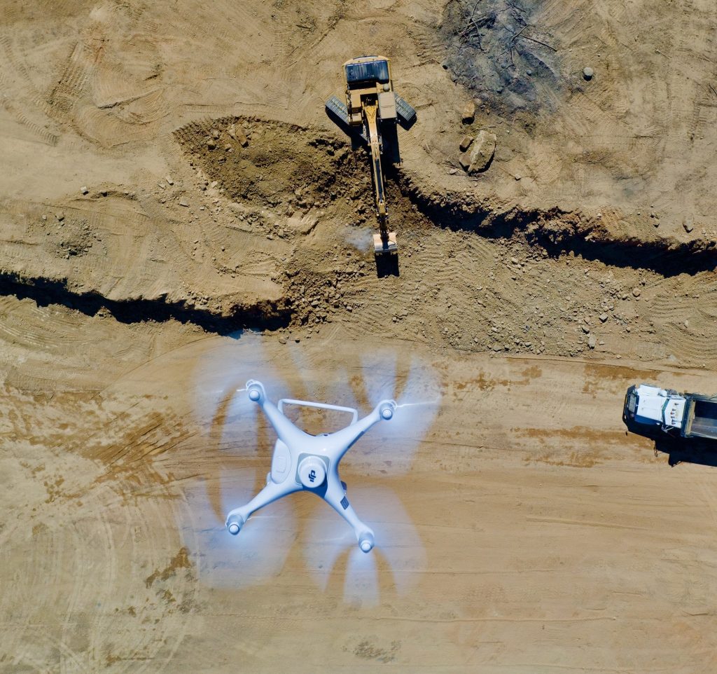
Drones + Sensors
Data Services
Photogrammetry Processing
Lidar Processing
Resources
Connect
Training + Support
Learn
Customer Stories
Resource Center
Knowledge Base
English
Deutsch
Login
Contact us
Contact us
Login
Why Propeller?
Industries
Construction
Aggregates + Mining
Waste Management
Survey + Engineering
Workflows
Map
Make data and survey processing simple.
Measure + Manage
Access insights and manage your site like never before.
People
Culture + Values
Founders + Board
Open roles
Solutions
PLATFORM
Propeller
Hardware
AeroPoints
DirtMate
Drones + Sensors
Data Services
Photogrammetry Processing
Lidar Survey Processing
Resources
Connect
Training + Support
Learn
Customer Stories
Resource Center
English
Deutsch
The accuracy effect: Where a single map makes all the difference
The top 5 time-wasters that are cutting into your profit
How outsourced photogrammetry and lidar processing works
Unearth your potential with underground utility mapping
Reality capture vs. smart surveys: What’s the difference?
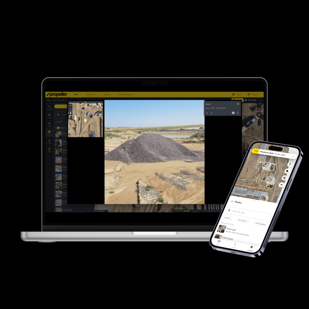
Introducing Media to the Propellerverse: Photos, messaging, and maps—oh my!
How point cloud and drone data power 3D worksite models
Take the guesswork out of sitework: Using 3D maps to close the information gap
How It Works: PPK vs. GCP Drone Surveying
How Morehart Field Services Uses Smart Survey Technology to Support Their Customers
1
2
3
4
…
10
Next
Menu