Why Propeller?
Industries
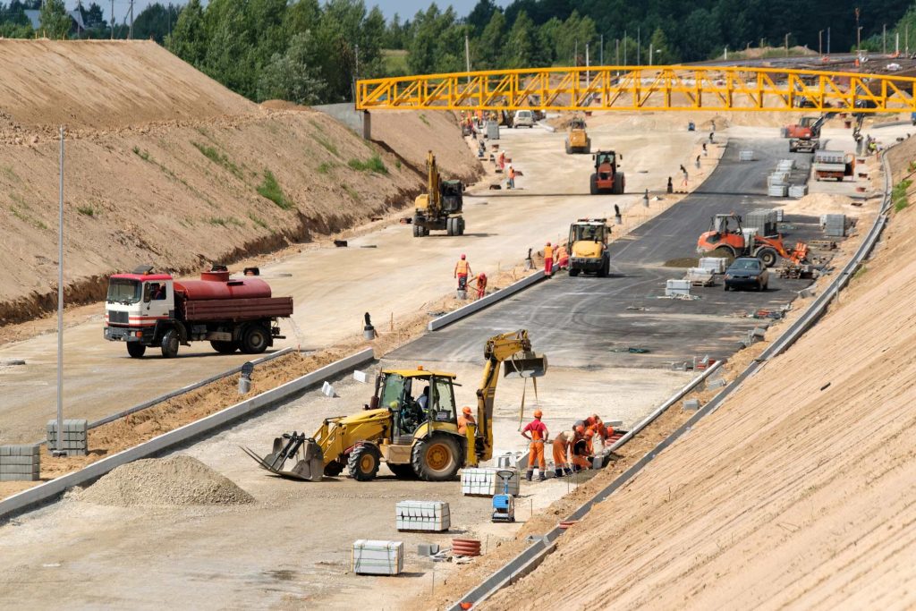
Construction
Aggregates + Mining
Waste Management
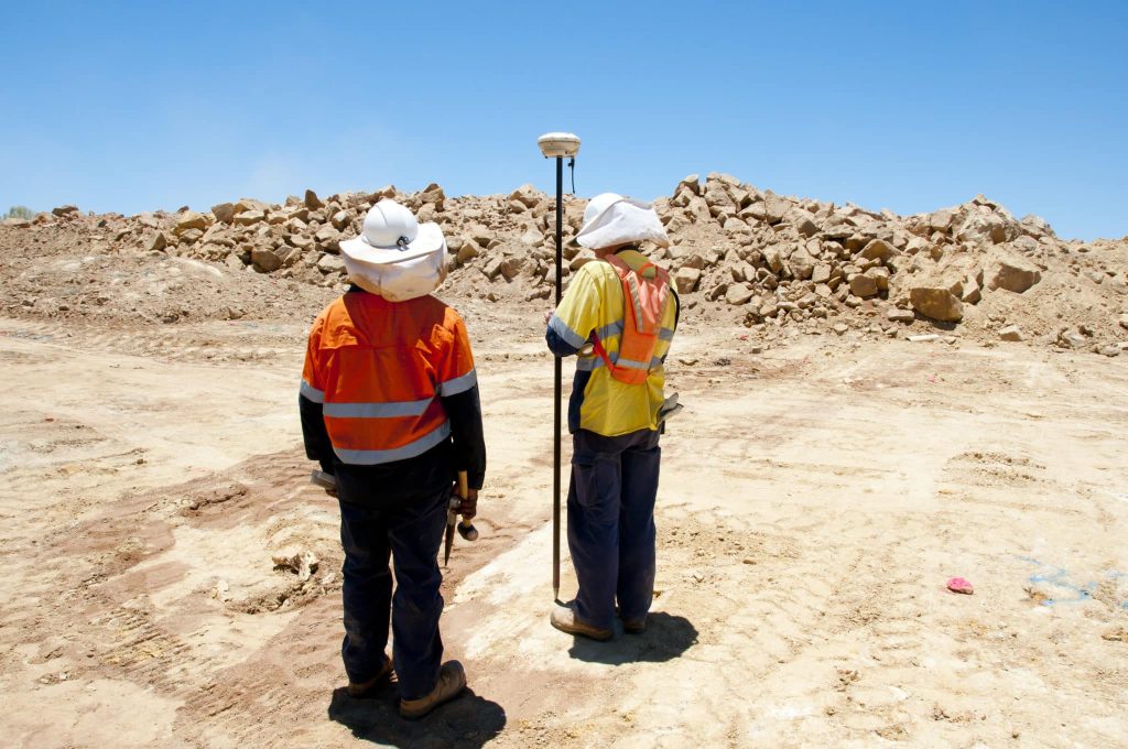
Survey + Engineering
Workflows
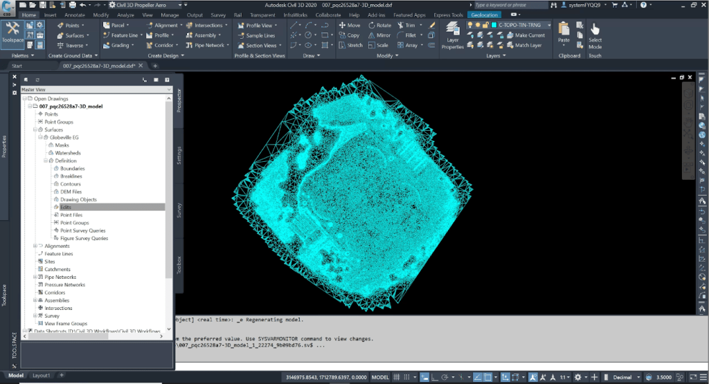
Map
Make data and survey processing simple.
Measure + Manage
Access insights and manage your site like never before.
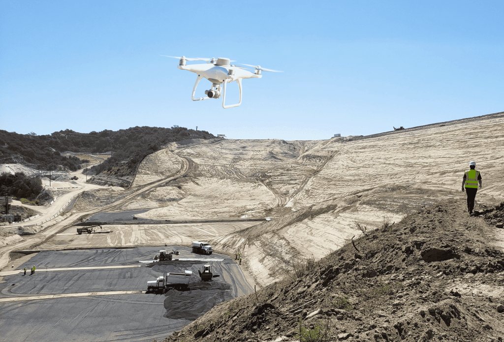
PPK Drone Mapping
Capture, process, and correct survey-grade drone data.
People
Culture + Values
Founders + Board
Open roles
Solutions
PLATFORM
Propeller
A cloud-based workspace where you can map, measure, and manage your site.
Hardware
AeroPoints
DirtMate
Drones + Sensors
Data Services
Photogrammetry Processing
Lidar Processing
Resources
Connect
Training + Support
Learn
Customer Stories
Resource Center
Knowledge Base
English
Deutsch
Login
Contact us
Contact us
Login
Why Propeller?
Industries
Construction
Aggregates + Mining
Waste Management
Survey + Engineering
Workflows
Map
Make data and survey processing simple.
Measure + Manage
Access insights and manage your site like never before.
People
Culture + Values
Founders + Board
Open roles
Solutions
PLATFORM
Propeller
Hardware
AeroPoints
DirtMate
Drones + Sensors
Data Services
Photogrammetry Processing
Lidar Survey Processing
Resources
Connect
Training + Support
Learn
Customer Stories
Resource Center
English
Deutsch
Top 10 Drone Surveying Tips and Tricks
How to Use Drones to Measure Stockpiles and Track Volumes More Accurately
Lidar vs. photogrammetry: What’s best for your worksite?
How to Convert DWG to KML and DXF to KML
California’s Whitaker Construction Tackles Complex Projects, Stays Cutting-Edge with Propeller
Five Ways to Use Drones and Propeller for Road Construction Surveying
How to Improve Earthwork Estimates with Drone Data
Five Steps to Successful 3D Drone Modeling of Your Worksite
5 Civil 3D Workflows to Know for Integrating Drone Surveys and CAD
Using Local Grid Coordinates on Surveys with Propeller
Previous
1
2
3
4
5
…
8
Next
Menu