Why Propeller?
Industries
Construction
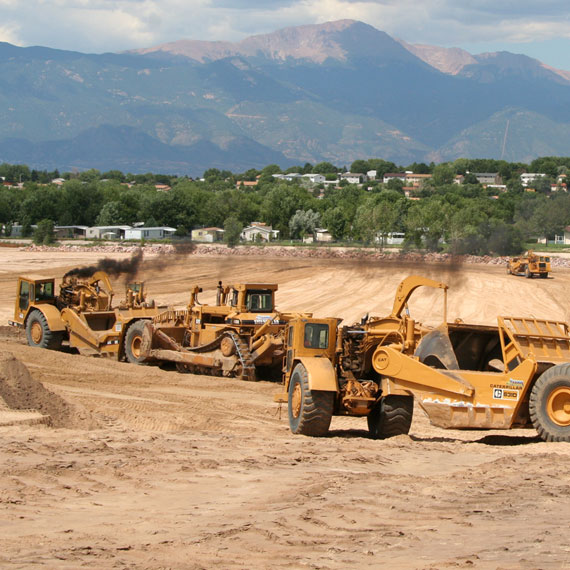
Aggregates + Mining
Waste Management
Survey + Engineering
Workflows
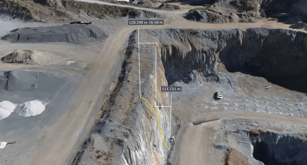
Map
Make data and survey processing simple.
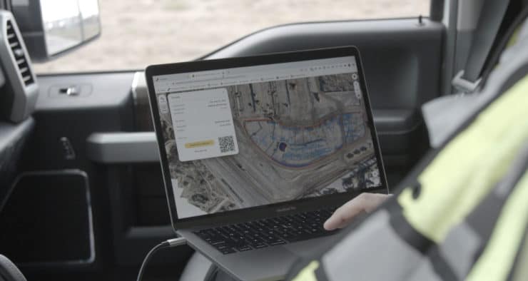
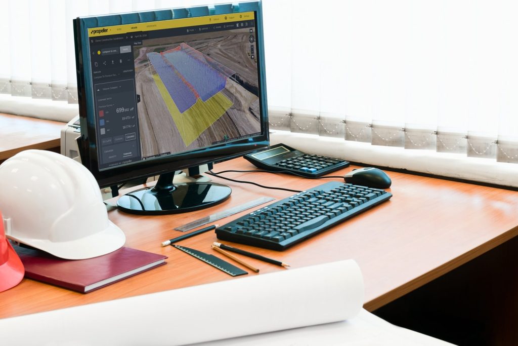
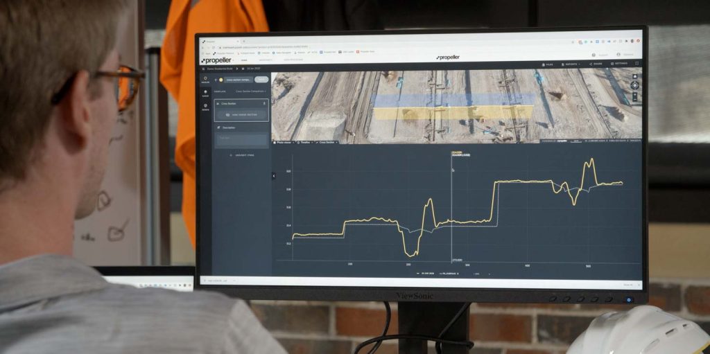
Measure + Manage
Access insights and manage your site like never before.
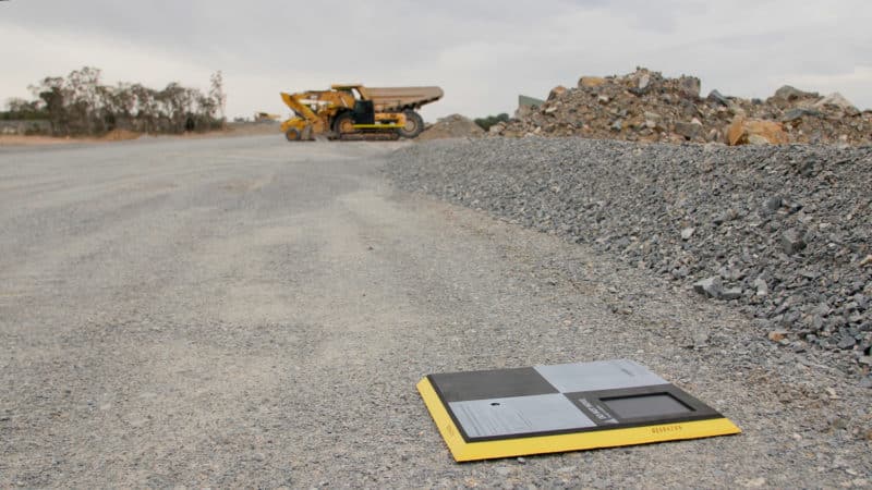
PPK Drone Mapping
Capture, process, and correct survey-grade drone data.
People
Culture + Values
Founders + Board
Open roles
Solutions
PLATFORM
Propeller
A cloud-based workspace where you can map, measure, and manage your site.
Hardware
AeroPoints
DirtMate
Drones + Sensors
Data Services
Photogrammetry Processing
Lidar Processing
Resources
Connect
Training + Support
Learn
Customer Stories
Resource Center
Knowledge Base
English
Deutsch
Login
Contact us
Contact us
Login
Why Propeller?
Industries
Construction
Aggregates + Mining
Waste Management
Survey + Engineering
Workflows
Map
Make data and survey processing simple.
Measure + Manage
Access insights and manage your site like never before.
People
Culture + Values
Founders + Board
Open roles
Solutions
PLATFORM
Propeller
Hardware
AeroPoints
DirtMate
Drones + Sensors
Data Services
Photogrammetry Processing
Lidar Survey Processing
Resources
Connect
Training + Support
Learn
Customer Stories
Resource Center
English
Deutsch
Propeller raised an additional $15.35M: Here’s what the recent funding means for worksites
Drone Photogrammetry: How Drone Photos Turn into 3D Surveys
Why Are Site Work Professionals Turning to Drone Surveying?
How to Optimize Your Ground Control Point Placement for Drone Surveying
Construction Software Solutions That Can Help Your Business
Women in Construction Q&A: Tezak Heavy Equipment’s Kyndra Tezak
A Quick Snapshot of Propeller: Usage Statistics, Fun Facts, and More
Fast Company Names Propeller Aero as a 2021 Best Workplace for Innovators
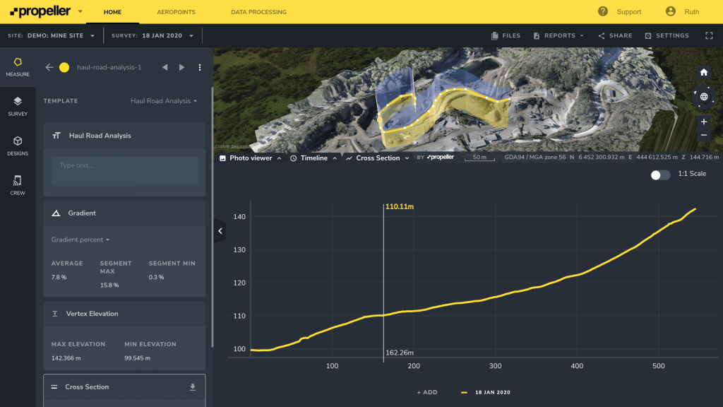
How Drone Data Improves Haul Road Maintenance
Meet Your Product Owner: Valery McMahon
1
2
3
4
…
6
Next
Menu