Why Propeller?
Industries
Construction
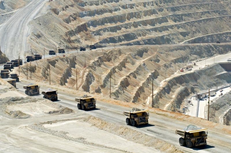
Aggregates + Mining
Waste Management
Survey + Engineering
Workflows
Map
Make data and survey processing simple.
Measure + Manage
Access insights and manage your site like never before.
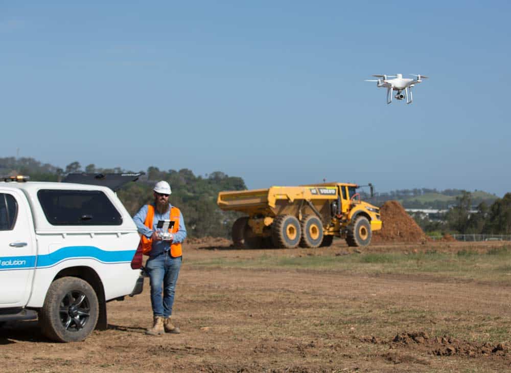
PPK Drone Mapping
Capture, process, and correct survey-grade drone data.
People
Culture + Values
Founders + Board
Open roles
Solutions
PLATFORM
Propeller
A cloud-based workspace where you can map, measure, and manage your site.
Hardware
AeroPoints
DirtMate
Drones + Sensors
Data Services
Photogrammetry Processing
Lidar Processing
Resources
Connect
Training + Support
Learn
Customer Stories
Resource Center
Knowledge Base
Webinars
English
Deutsch
Login
Contact us
Contact us
Login
Why Propeller?
Industries
Construction
Aggregates + Mining
Waste Management
Survey + Engineering
Workflows
Map
Make data and survey processing simple.
Measure + Manage
Access insights and manage your site like never before.
People
Culture + Values
Founders + Board
Open roles
Solutions
PLATFORM
Propeller
Hardware
AeroPoints
DirtMate
Drones + Sensors
Data Services
Photogrammetry Processing
Lidar Survey Processing
Resources
Connect
Training + Support
Learn
Customer Stories
Resource Center
Webinar
English
Deutsch
Stop Playing Telephone with Your Construction Data: Achieve a Single Source of Truth with Technology
Morning, Noon, or Night: When Is the Best Time to Fly Your Drone?
Construction Trends You’ll Want to Keep an Eye on in 2022
Leveraging DirtMate for Daily Production Volume and Performance Metrics
Key Factors to Consider when Building Your 2022 Earthworks Budget
Addressing Environmental Concerns in the Construction and Earthworks Industry with Drone Technology
A Seat at the Project Planning Table: How Edgerton Earned & Retained Their Seat with Technology
The Benefits of 3D Modeling throughout the Construction Project Lifecycle
Top 10 Drone Surveying Tips and Tricks
The Role of Drone Technology in Mining’s Accelerated Purpose
Previous
1
…
3
4
5
6
7
8
9
…
15
Next
Menu