Training + support
Propeller revolutionizes the way you and your team work. Our team of Customer Success Experts, GIS Specialists, and hardware experts set you up for success, right from the get-go.
Real help, whenever you need it
New to Propeller or a seasoned user? Our team of industry experts, GIS Specialists, and hardware pros is ready to help you hit the ground running.
We’re here 24/7
Ask questions, get answers. Keep things moving with 24/7 support.
Personalized service from the get-go
As a platform user, your Customer Success Engineer is there to set you up for success with guided onboarding and training.
On-demand learning
Sharpen your skills with our expansive database of how-tos, training modules, and interactive courses.
We’re on your team
You can think about our industry folks, GIS Specialists, and hardware experts as an extension of your team.
Use Propeller to its full potential
Whether you’ve got our hardware, software, or the complete suite – we’re here to help.
PropellerU
On-demand video training resources.
Knowledge Base
Expansive library of product how-tos, articles, and release notes.
Training webinars
Global training webinars hosted in different timezones.
On-site training
Custom hands-on training available as a paid add-on.
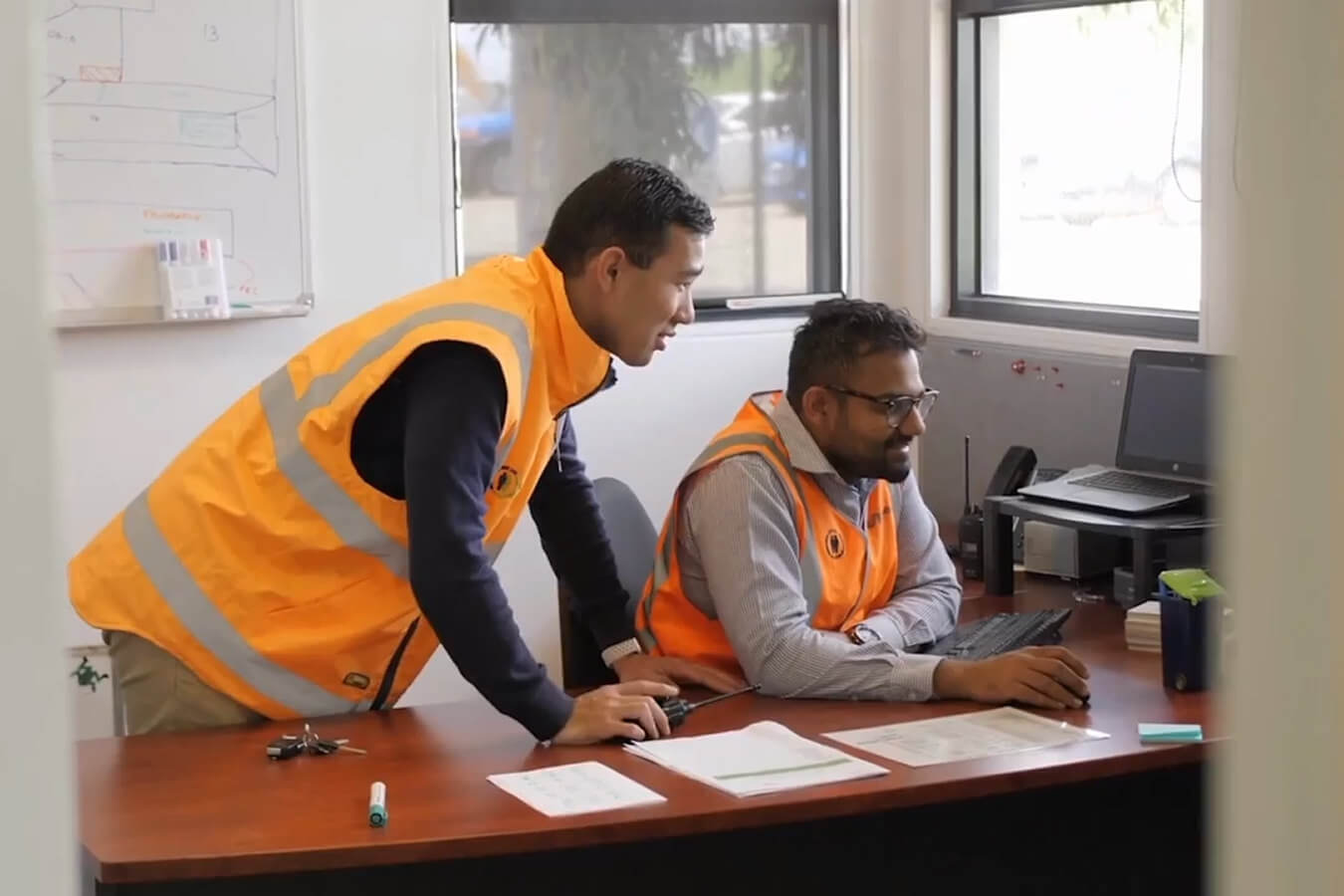
Expert support
A fast and effective combination of phone, email, or in-platform support.
Business reviews
Annual knowledge shares to dig into your Propeller ROI and unearth new use cases.
Product requests
Provide product feedback that helps inform where we go next.
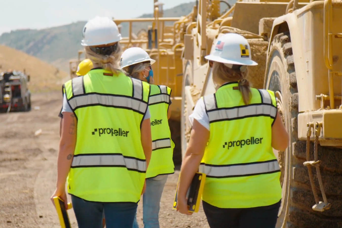
Our customers’ success is our top priority, always
Propeller is powered by the success of its customers. That’s why our various support teams work as an extension of your team so you can experience our platform and products at their full potential.
Getting started is easy
And, we’re with you every step of the way.
You’ve purchased Propeller
Welcome to a totally new way of working. Get ready to embark on your onboarding journey.
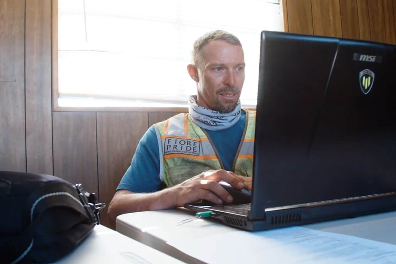
Meet your Customer Success Engineer
Say “hello” to your Customer Success Engineer. You can start your onboarding journey immediately with self-paced learning.
Dig into our world
Learn all about the Propeller platform and products – from data capture to survey processing to Propeller workflows, and more.
Simpler, faster, smarter workflows
You and your team are now powered by Propeller and are working better than ever.
You’ll learn everything you need to know
We’ve broken down our entire Propeller offering into three easy-to-follow modules.
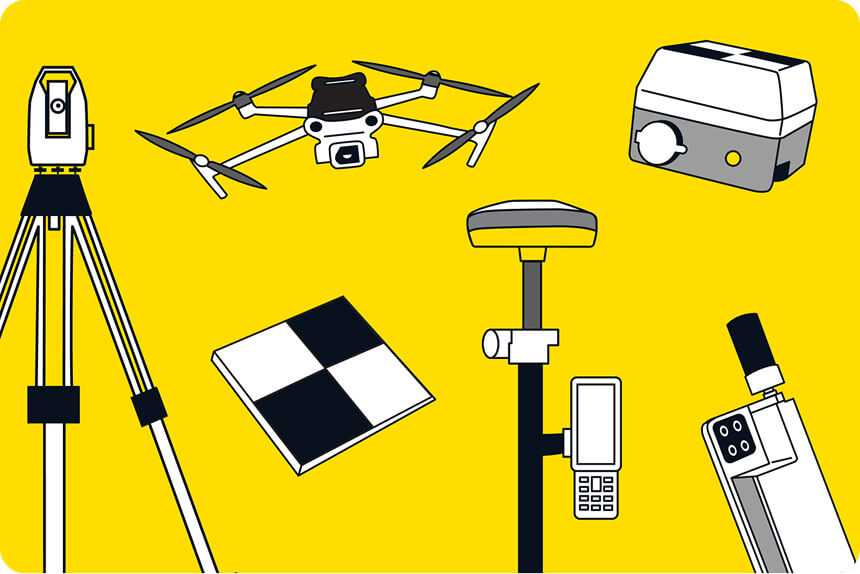
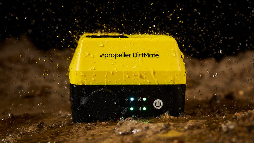
Drone setup
- Care + maintenance
- Firmware updates
- Warranty Shield
- Best practices & common mistakes
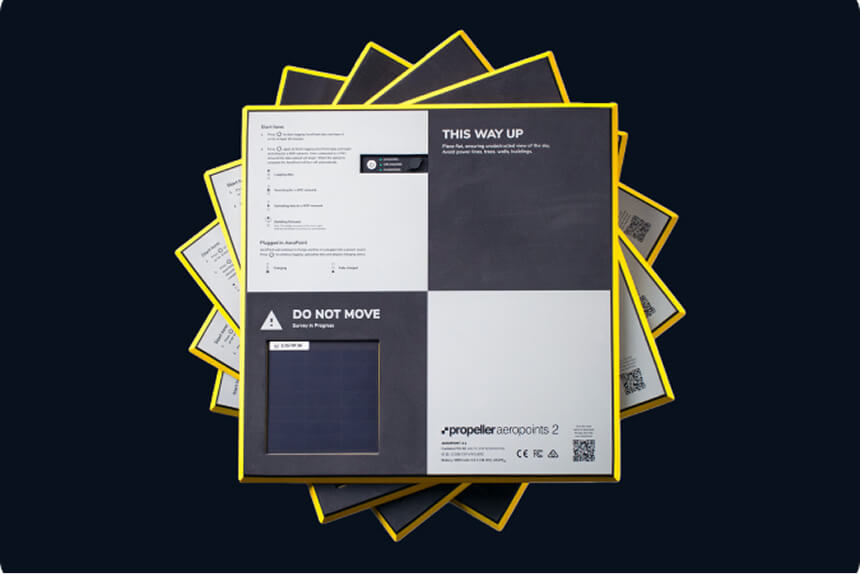
AeroPoints overview
- Care + maintenance
- Charging your AeroPoints
- Best practices
Flight checklist
- Checking + unlocking airspace
- FAA rules + regulations
- Drone settings
- Propeller Corrections Network
- Ground control best practices
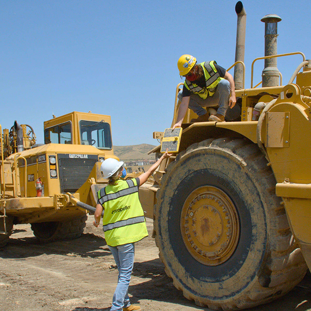
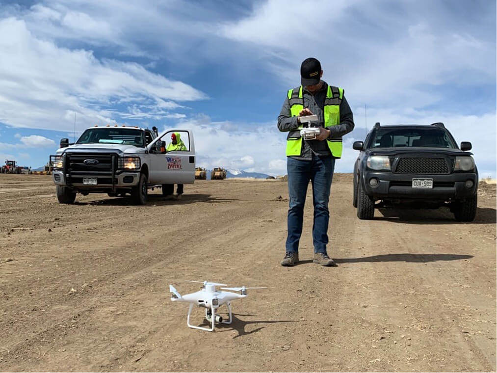
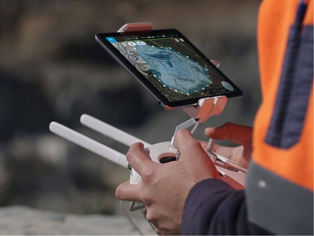
Data capture workflow
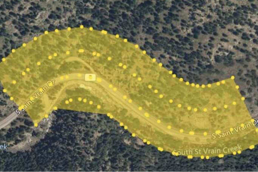
- Planning a mission
- Aeropoints
- Flying the drone
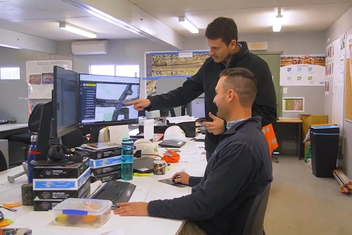
Platform overview
- Navigating the portal
- Tips + best practices
Measuring with survey data
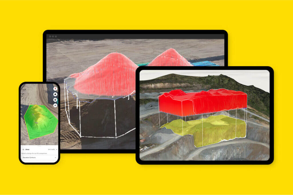
- Volume, distance, surface area, and elevation measurements
- Terrain edit
Managing your site
- Data management
- Site management
- Productivity management
Files + collaboration
- Mobile app
- Information sharing
- Reporting
Learn more about the technology we support
From local coordinate reference systems to volume calculations, we’ve got you covered.