Drone photogrammetry processing for survey-grade 3D site maps
Drone photogrammetry turns aerial imagery into accurate 3D site maps — but processing it well is the tricky part. Propeller’s cloud-based photogrammetry processing makes it predictable, repeatable, and fast. Whether you’re handling one survey or dozens, our geospatial experts and proven photogrammetry workflow get your worksite models ready to inform confident decisions.
Easy
Upload your images, ground control points, and GNSS data, then get notified when your map is ready in your desired coordinate system
Scalable
Handle single surveys or multiple projects simultaneously without bottlenecks
Accurate
Expect verifiable, survey-grade results using AeroPoints and Propeller PPK-compatible drones
Insightful
Review detailed QA/QC reports to understand your data and confirm accuracy
How our cloud-based photogrammetry workflow works
Drag and drop the data
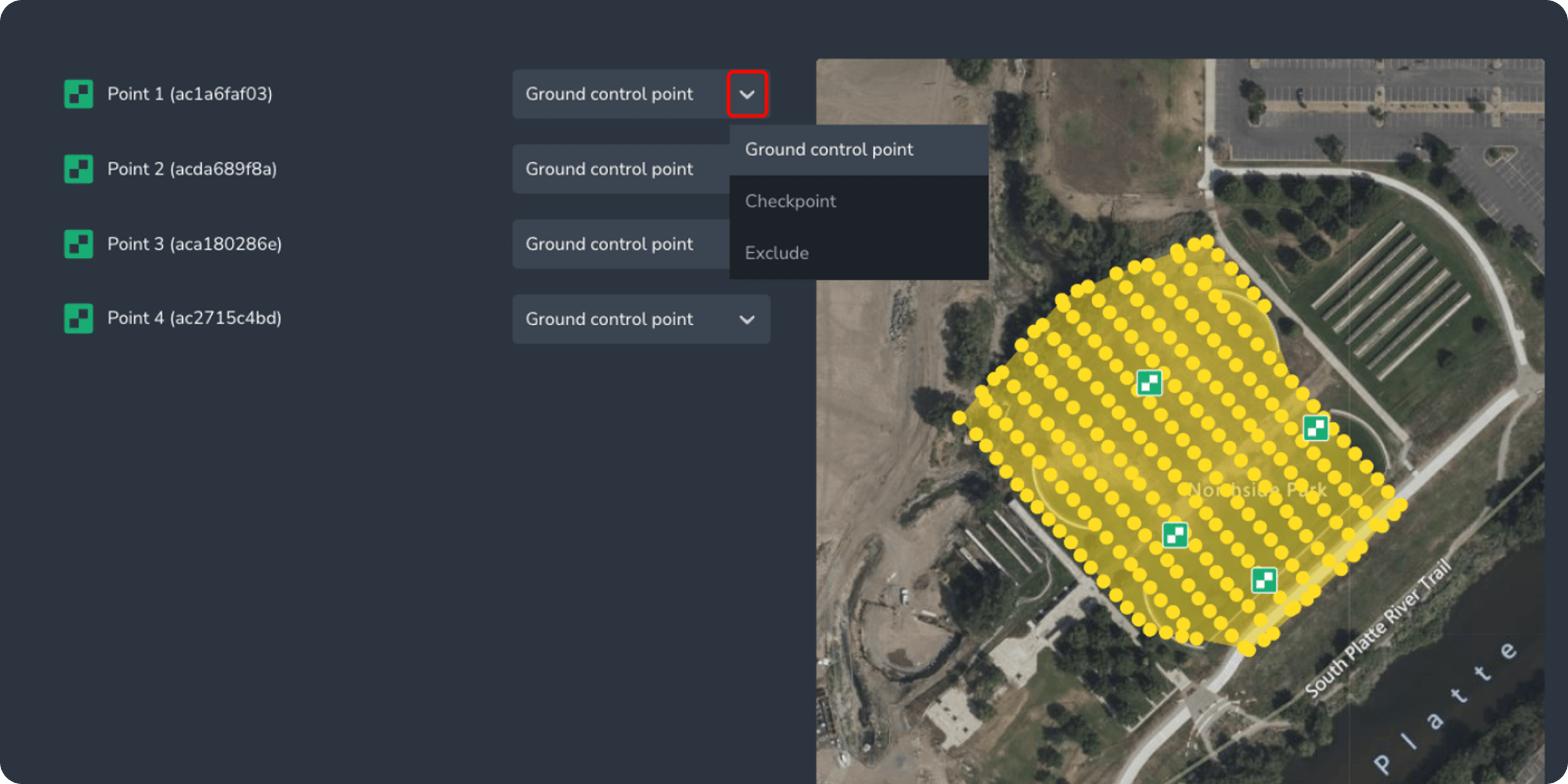
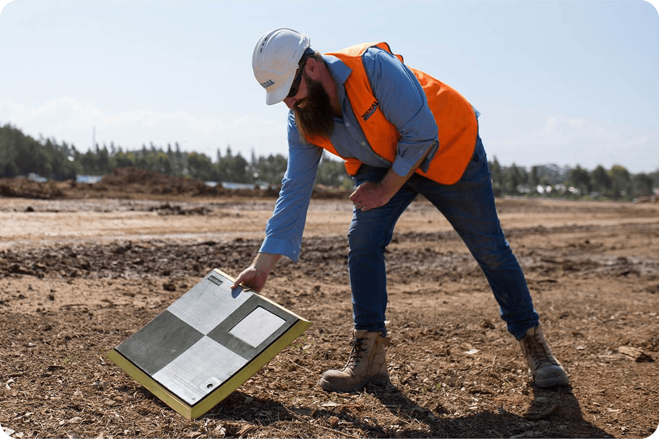
Images, ground control points, checkpoints, GNSS files
Set parameters
Customize terrain filtering and QA/QC settings
Georeferencing
Align images and GCPs with your map projections
3D model creation
Stitch images into accurate point clouds and surfaces
Initial data validation
Verify point cloud quality and detect gaps
Orthophoto generation
Produce DTM, TIN surfaces, and high-resolution orthomosaic
Final QA/QC
Confirm model accuracy and readiness for decision-making
Receive your map
Download 3D worksite model and QA/QC reports
Verify results
Review metadata, image quality, and measurement accuracy
Expected accuracy
~3 cm (1/10 ft) when using Propeller PPK-compatible drones + AeroPoints
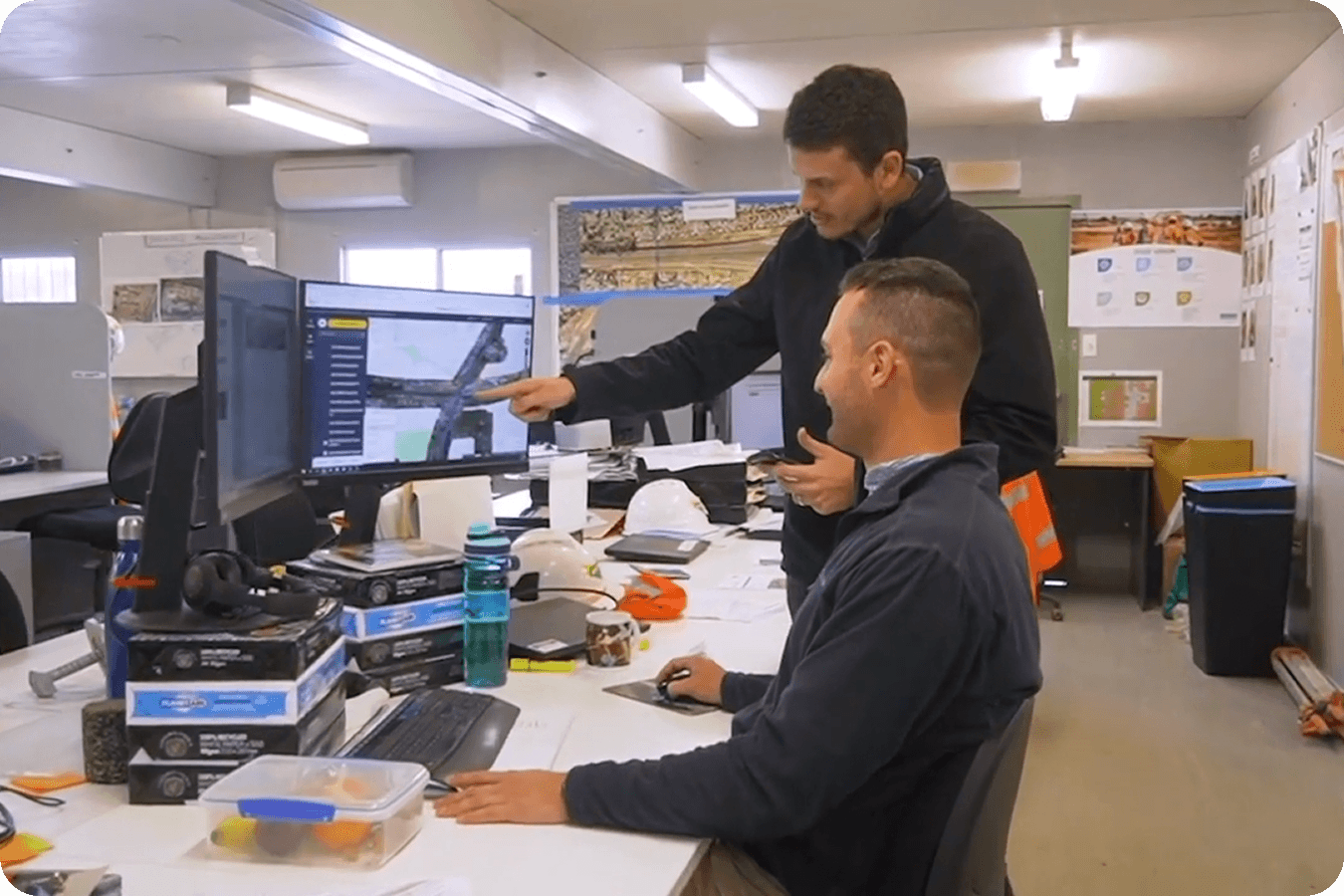
Tap into a team of experts
Our geospatial team is available whether you’re on site, in the office, or remote. Choose from over 5,000 published coordinate reference systems, or upload your own.

“I think the datasets speak for themselves. It’s nothing that you have to bring anyone onboard with. It’s data that’s intrinsically and obviously valuable.”
– Matt Eklund, GPS Program Manager at Sukut