

“I think the datasets speak for themselves. It’s nothing that you have to bring anyone onboard with. It’s data that’s intrinsically and obviously valuable.”
Matt Eklund
GPS Program Manager, Sukut
DirtMate Centimeter-level machine guidance and fleet telematics for earthmoving
AeroPoints High-accuracy ground points for faster, reliable surveys
Propeller CAD AI-powered earthworks design built directly on your real survey terrain
Drone & hardware integrations Connect Propeller with your existing tools seamlessly
How accurate is Propeller PPK?
We hired a professional land surveyor to validate the accuracy of Propeller’s PPK workflows with DJI’s Mavic 3 Enterprise for photogrammetry and Matrice 350 with the Zenmuse L2 sensor for lidar. Review our methodology, results, data analysis, and more.

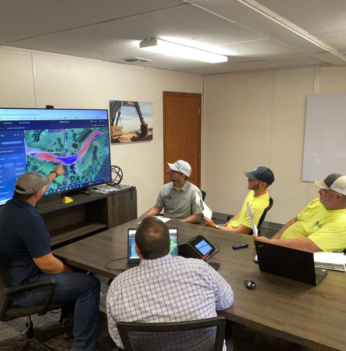
Make the map a meeting ground where your project teams can access critical insights on their own.
Manage AeroPoints usage, monitor hardware health, and run accuracy diagnostics from a personalized dashboard.
Scale up at your own pace, without adding resources. Just drag and drop your dataset into Propeller, and we’ll send back a high-accuracy 3D map in return.
Production teams use the DirtMate Dashboard to track daily volumes and access productivity insights.
“I think the datasets speak for themselves. It’s nothing that you have to bring anyone onboard with. It’s data that’s intrinsically and obviously valuable.”

“Propeller’s outsourced processing gets us data back much faster, and the accuracy is great. The whole process is so easy, I could almost have my kid do it”.