
“We saw ROI on our productivity in less than a month. It was probably four weeks to six weeks on fuel savings alone.”
– Martin Dillon, Senior Business & Operations Manager, Lhoist
DirtMate Centimeter-level machine guidance and fleet telematics for earthmoving
AeroPoints High-accuracy ground points for faster, reliable surveys
Propeller CAD AI-powered earthworks design built directly on your real survey terrain
Drone & hardware integrations Connect Propeller with your existing tools seamlessly
DirtMate GNSS receivers give teams real-time surface data, machine telematics, and field positioning, all synced instantly to Propeller. See what your machines are doing, check grade in the field, and capture points with everything connected between the field and the office in real time.
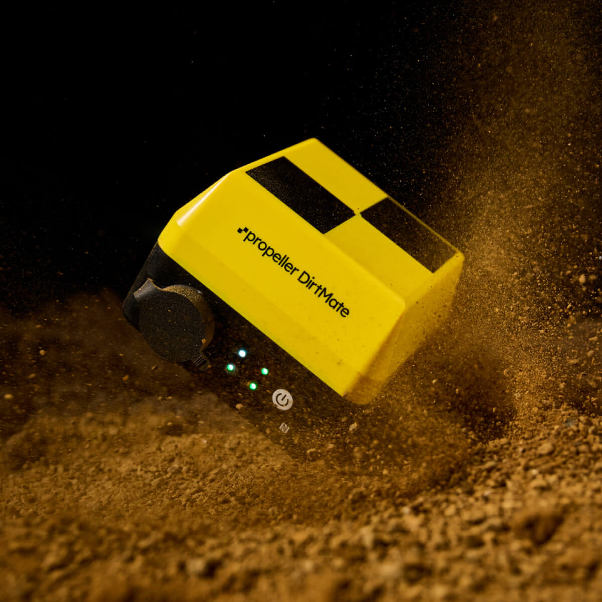
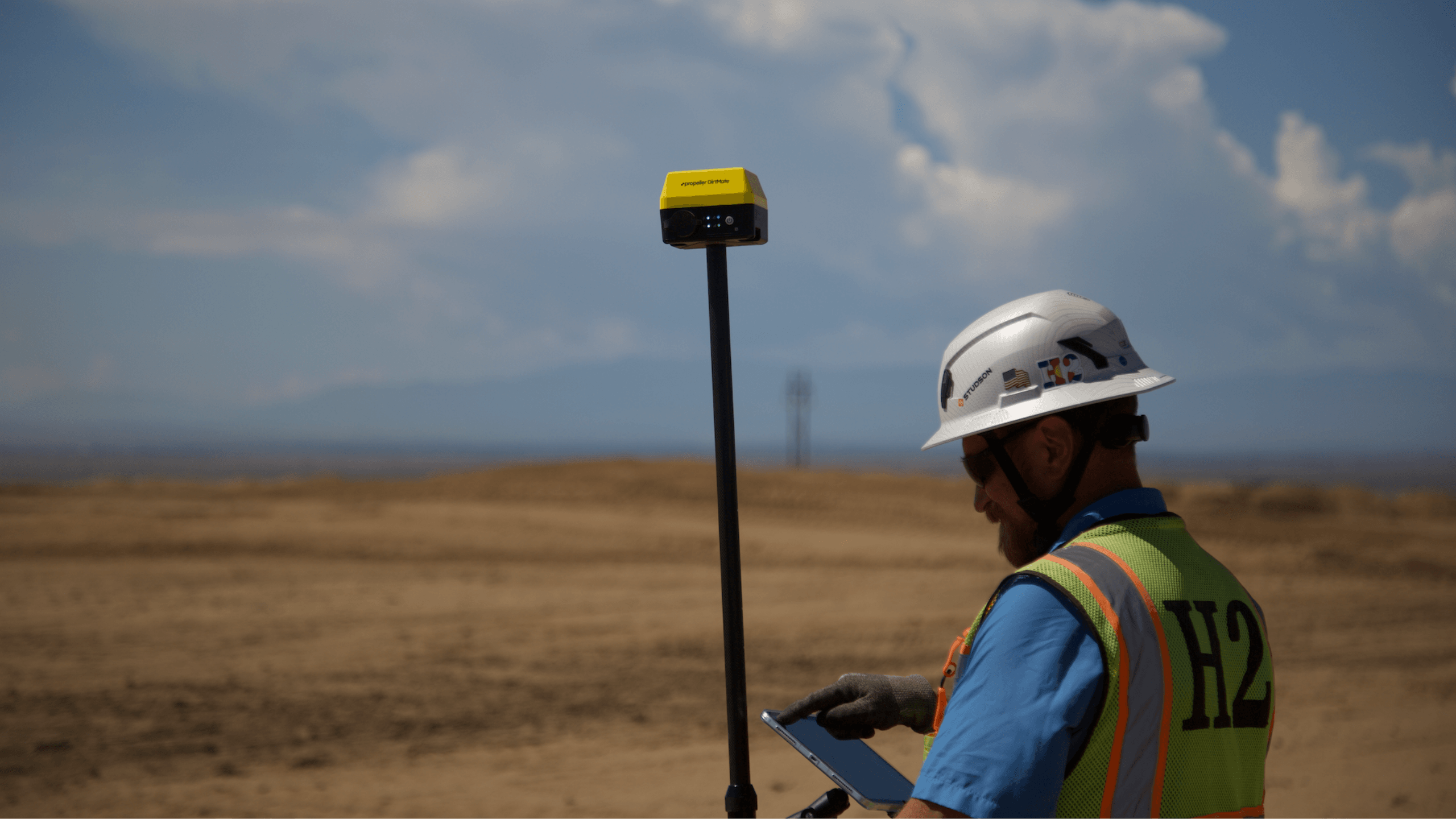
Built for the changing worksite, DirtMate GNSS Receivers swap roles on demand. Mount it on a machine, run it as a base, or put it on a pole for RTK workflows. Whatever the task, DirtMate delivers high-precision results in real time and syncs everything back to Propeller so the office and the field stay aligned.
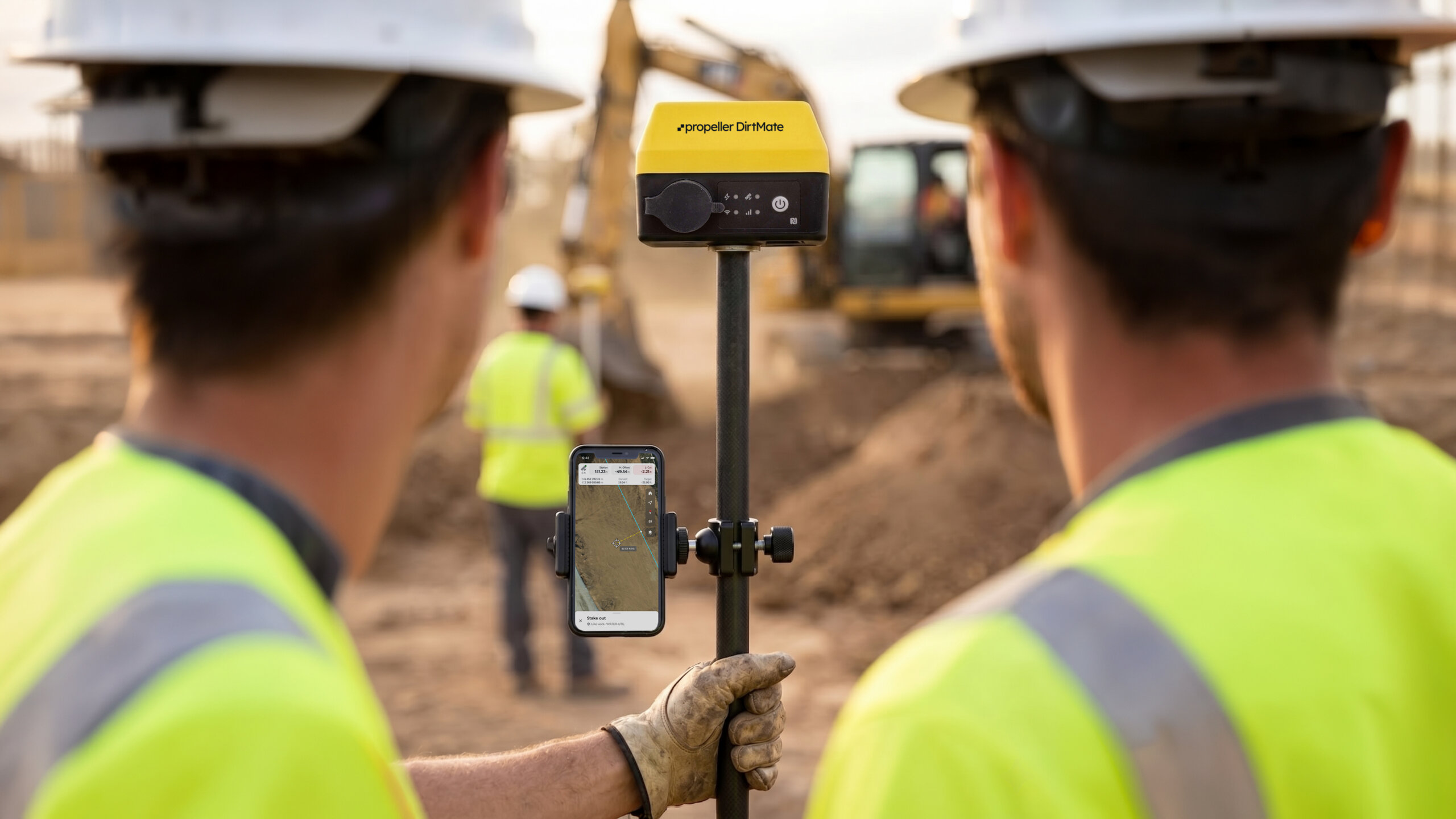
DirtMate RTK delivers accurate positions for checking grade, staking out, and capturing points. Synced instantly back to your Propeller platform.
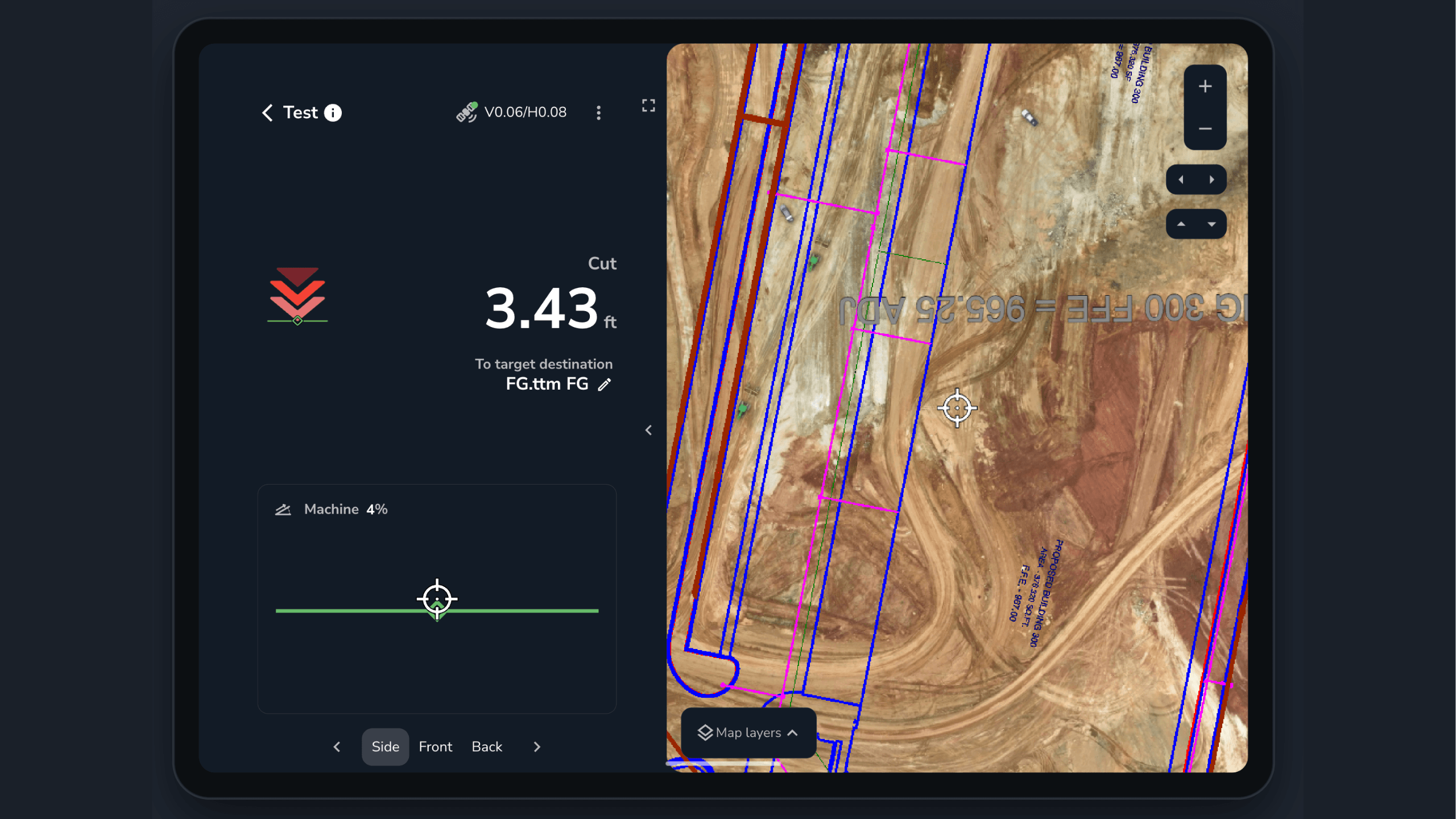
DirtMate RTK gives operators in-cab visibility of designs and live position, so they can rough grade flat surfaces and stay oriented on the map while they work.
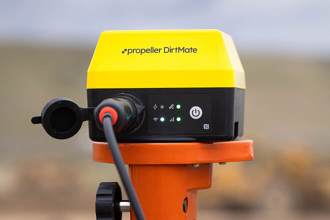
Use a static DirtMate unit as a reference base station to enhance GPS accuracy for drone surveys and RTK tools
Packing dual-frequency GNSS and an onboard IMU into one compact sensor, DirtMate supports field positioning and in-cab workflows connected to Propeller. Stream live insights straight to a shared map. No extra surveyor, no extra steps. Here are the specs that make it possible.
Check grade in the field
Compare your position to design surfaces and see cut and fill as work happens.
Stake out points and lines
Put layouts where they need to be, with your site designs at hand.
Capture points
Record installed locations and sync them to Propeller as a timestamped record.
Measure lines and areas
Get distance, slope, and area measurements on demand.
See your position against the design
View your live position and design surfaces from the cab.
Rough grade with confidence
Compare your current elevation to the design while rough grading flat surfaces.
Stay oriented on site
See site boundaries and linework alongside your position on the map.
Work from shared site context
Use the designs and survey data already available in your Propeller site.


Set up a reference point
Use a stationary DirtMate as a base station for your site.
Support RTK workflows
Provide a reference for DirtMate RTK rover and in-cab positioning.
Improve survey accuracy
Use the base station to support accurate drone surveys and field positioning.
From checking grade to capturing points, DirtMate helps teams work with confidence and keep field data connected to Propeller.

“We saw ROI on our productivity in less than a month. It was probably four weeks to six weeks on fuel savings alone.”
– Martin Dillon, Senior Business & Operations Manager, Lhoist


“We can see the yardage moved on a daily basis, allowing us to adjust equipment per site to keep each job efficient. DirtMate helps our crews in the field stay on track and see where they’re at.”
– Jonathan Ensz, CEO, Dirks Enterprises


“DirtMates immediately increased our civil work task efficiencies in less than a day. Being able to see all the equipment, how it is moving and where it is moving changes the game in operational efficiency.”
– Kasen Huwa, Director, Huwa Enterprises


“We love being able to see our DirtMate equipment moving around on the map and go, ‘I wonder if we can increase efficiency that way?’ People who aren’t normally tech savvy are looking at site maps to come up with new ideas.”
– Marshall Dow, CEO, Silver Creek Materials
DirtMate RTK is a field-positioning solution that connects to your Propeller site. Use it as a rover for tasks like grade checks and point capture, or as an in-cab display for operators.
Use a DirtMate receiver on a pole to check grade against a design, stake out points and lines, capture points, and measure distances, slopes, and areas.
Operators can see their live position against the design, along with site boundaries and linework. This helps them stay oriented and rough grade flat surfaces while they work.
No. In-cab guidance gives operators a view of their position and the design; it does not automatically control the machine.
A base station is a stationary DirtMate receiver that provides a reference for accurate positioning. It can support DirtMate RTK workflows and drone surveys.
Yes. Points captured with DirtMate RTK sync to Propeller, creating a timestamped record that can be accessed alongside your site data.
No. DirtMate RTK is a standalone subscription for rover or in-cab use. Machine progress and productivity features, such as surface collection and load/dump counts, are not part of the in-cab offering. Existing P&P customers remain supported under their agreements.
The receiver has an integrated 5/8-inch thread for standard surveying tripods and poles. A stainless steel bracket with adhesive strips is included, and an optional rail-mounting kit is available for pipes or handrails.
The internal battery can last up to 24 hours on a single charge. Battery life depends on how the receiver is configured and used.
The DirtMate receiver charges in approximately three hours with a power supply greater than 25 W.
Yes. The receiver is IP66/IP68-rated for weather and environmental resilience.
The DirtMate Management App provides a dashboard for each device, including firmware information, GNSS correction source and device health.