
The evolution of DirtMate: From simple GPS to real-time machine mapping
DirtMate’s success story is a testament to the power of listening to your customers. In…
DirtMate Centimeter-level machine guidance and fleet telematics for earthmoving
AeroPoints High-accuracy ground points for faster, reliable surveys
Propeller CAD AI-powered earthworks design built directly on your real survey terrain
Drone & hardware integrations Connect Propeller with your existing tools seamlessly
See every machine, measure every load, and prove every day, all on the same map as your surveys. No extra survey step, no waiting on the office.
Grading machines hit grade and the weekly drone survey signs it off. Machine telematics own the days in between, mapping the ground under the tracks and tires of every active machine. Verify production daily and adjust your field operations by the minute.
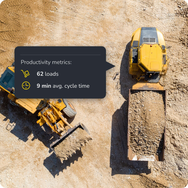
Know where every machine is and what it’s doing, without leaving your desk.

Replace manual tallies and spreadsheets with accurate, automated production data.

See how production stacks up against grade, in real time, from anywhere on site.
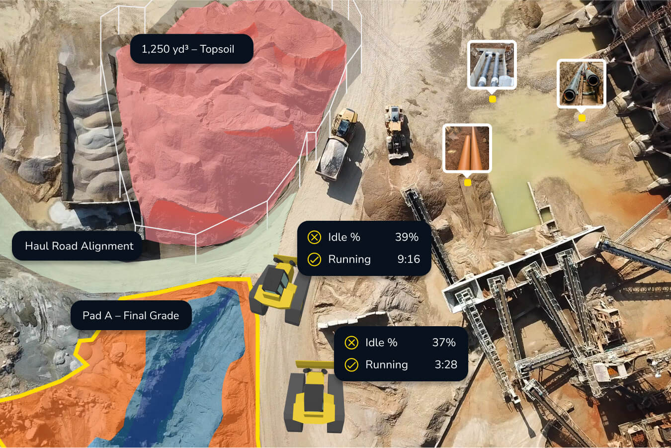
Bring machine activity, surveys, designs, and site docs together so your team can make faster, better-informed decisions.
Connect drone surveys and machine data on the same map. Get daily production visibility without waiting for the next flight.
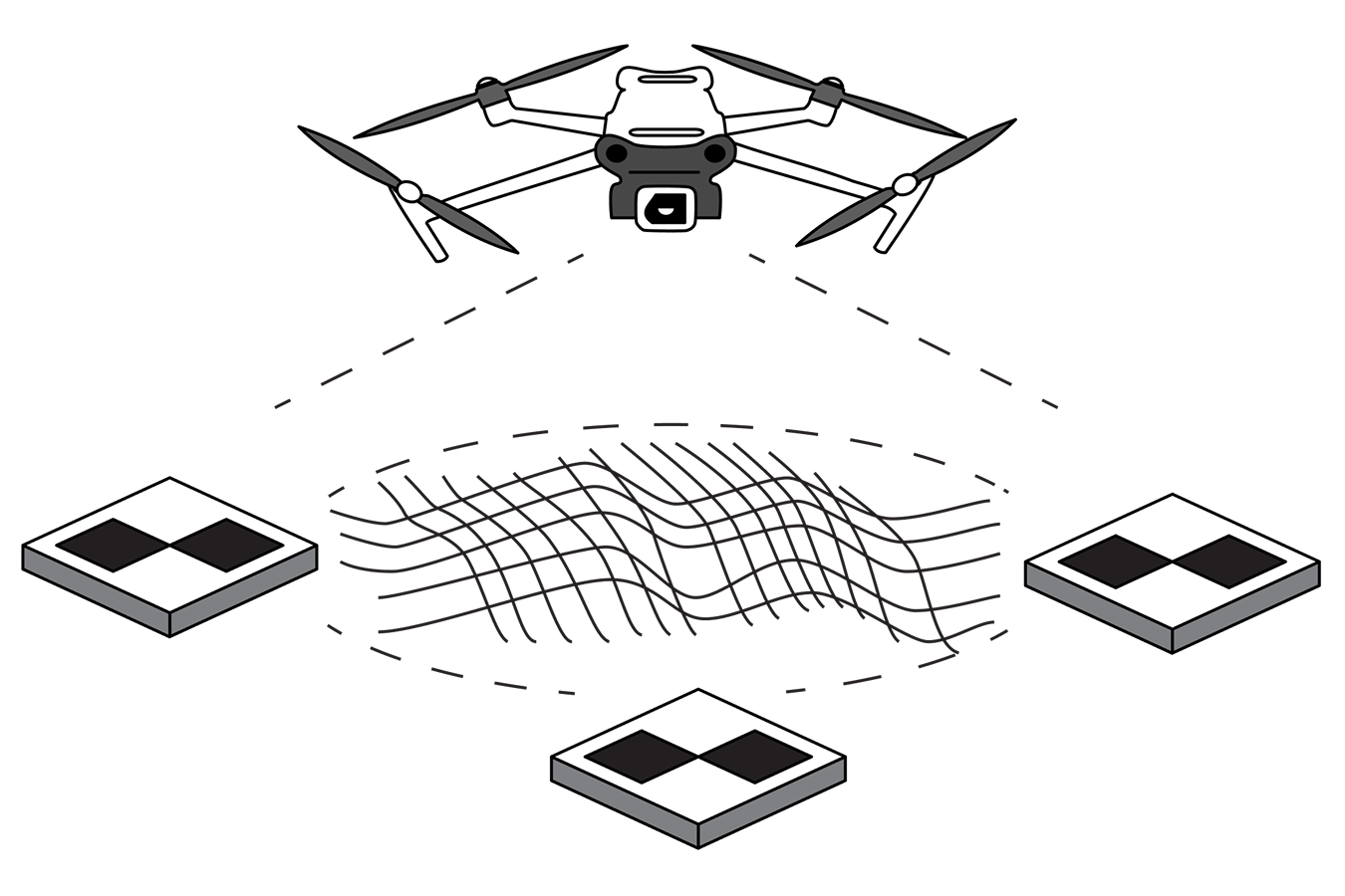
Automatically capture, process, and correct your drone data from anywhere, as often as you want, with Propeller’s drone survey workflow.
Learn More

Update your 3D map with elevation data captured straight from your earthmoving machines as they work, powered by DirtMate.
Learn More
Jonathan Ensz, CEO of Dirks Enterprises, first adopted Propeller’s drone survey workflows to capture weekly progress data. That success raised a new question: could daily production insights and material volumes give his team an even bigger competitive edge?

“We can see the yardage moved on a daily basis, allowing us to adjust equipment per site to keep each job efficient. DirtMate helps our crews in the field stay on track and see where they’re at.”
– Jonathan Ensz, CEO at Dirks Enterprises
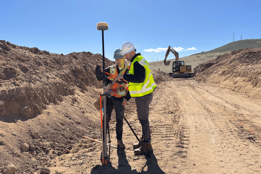
Add centimeter-level grade checking with DirtMate RTK. Operators get a machine operator view with real-time grade and location in the cab, so they can track grade and adjust on the fly, without stepping out. Supervisors and engineers get the same grade data on their phone, checking from anywhere on site. Two access points, the same data.

