Stockpile Volume Measurement Software for Real-Time Inventory Tracking
Measure stockpile volumes in seconds with drone-based surveying. Propeller’s stockpile volume measurement software delivers 1–3cm accuracy for inventory tracking, pay app verification, and financial reporting.
How stockpile volume measurement improves accuracy
Manual stockpile inventory management leans on truck counts, visual estimates, and the occasional survey. That leaves your bottom line exposed to 10–15% variance. When reconciliation is off, you’re either over-reporting assets or running out of material when you need it most.
The Propeller shift
Achieve 97–99% volumetric accuracy. Turn monthly inventory reconciliation from a multi-day ordeal into a 10-minute digital audit, so every stockpile report matches what’s actually on the ground.
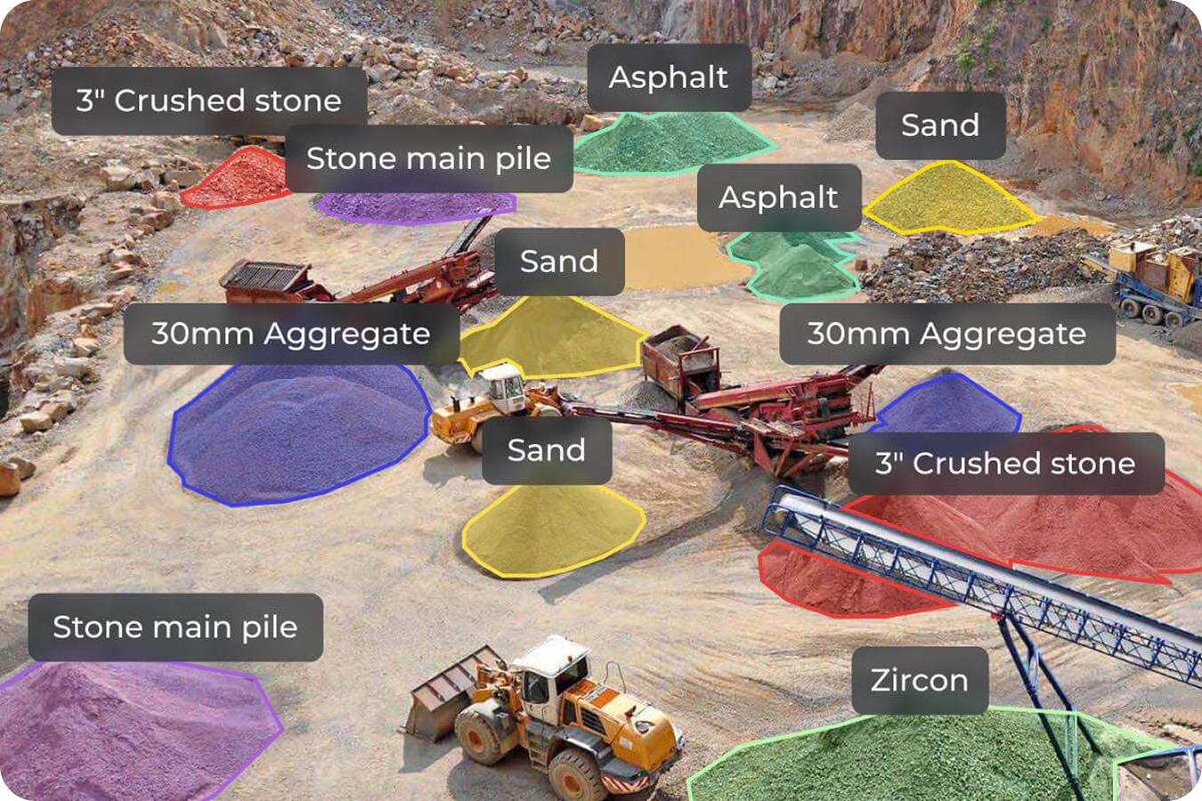
Stockpile measurement tool
Measure any pile on site to 1–3cm vertical accuracy with the Magic Polygon. Point, click, done.
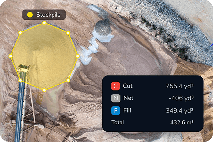
Historical volume comparisons
Compare current volumes against previous surveys or design surfaces to track depletion rates and production over time.
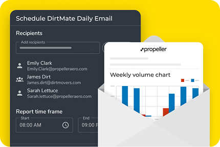
Stockpile reports and takeoffs
Export a professional PDF or CSV stockpile report for pay app verification and stakeholder transparency.
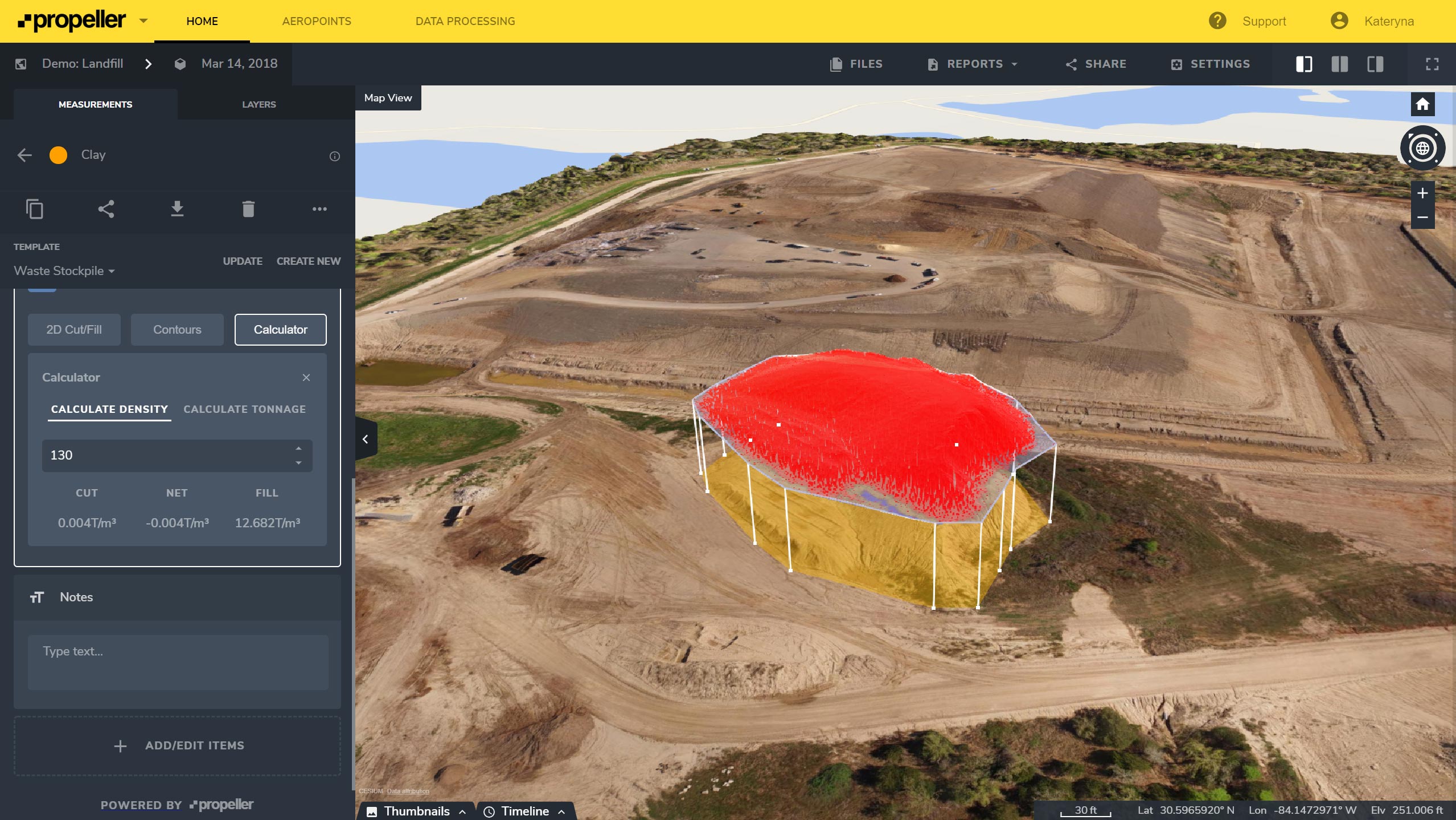
Density and airspace tracking
Built for waste and mining. Track daily fluff cover, remaining airspace, and cell density to maximize asset lifespan.
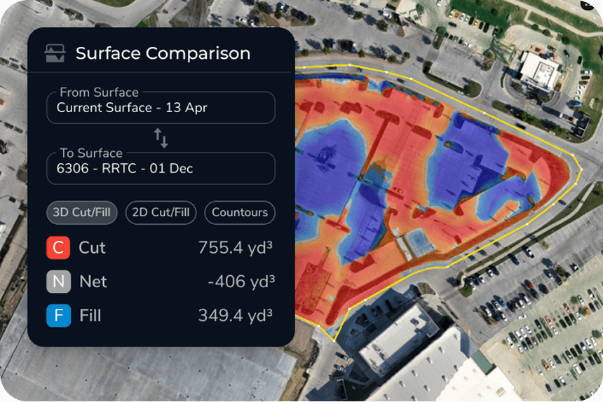
Cut-fill to previous survey
See exactly where material was added or removed between two dates, so subcontractor work reconciles against real numbers.
Tailored value for every stakeholder
Different roles need different answers. Here’s how survey-grade stockpile measurement translates into clearer costs, tighter schedules, and more defensible reporting across the team.

Project managers
Tighten cost control, resource allocation, and change order management with precise pay app verification.

Foremen and superintendents
Know what’s on hand before the next haul, and see where every pile sits without walking the site to eyeball it.

VPs and owners
Achieve total financial transparency and risk mitigation by knowing exactly what assets are on the ground.

Inventory and quarry managers
Track progress toward pit plans and manage selling inventory with real-time accuracy.
The tech behind the truth
Our hardware and software work in harmony to provide a survey-grade foundation for every project.
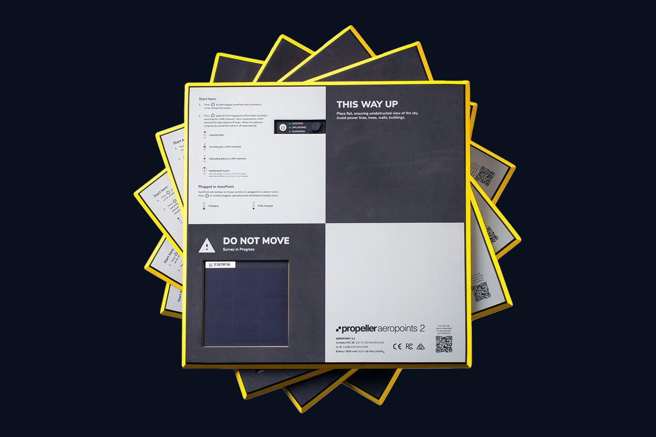
AeroPoints®
Smart GCPs that keep your 3D models at 1–3cm global accuracy, so your volume calculations hold up under scrutiny.

Propeller Platform
Your central visualization tool for stockpile measurement, surface comparisons, and exporting inventory data.
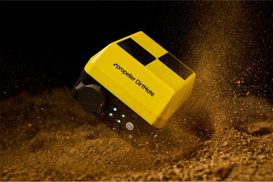
DirtMate
Real-time machine tracking with automated surface updates, so volume changes show up as they happen.
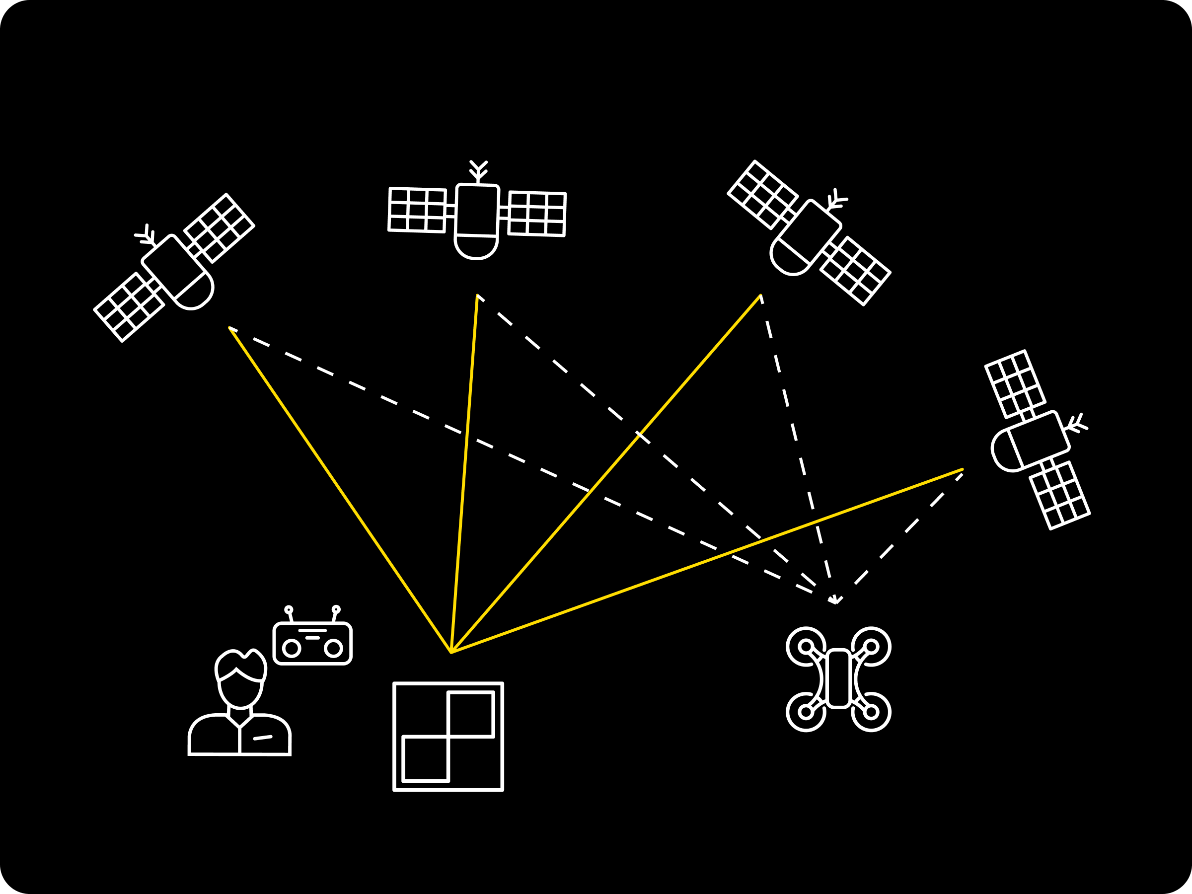
PPK processing
Professional-grade accuracy built into your drone workflow for consistent, survey-grade results.
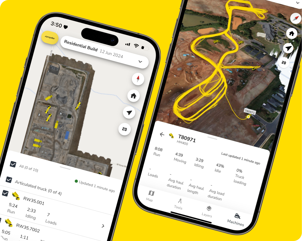
Propeller mobile app
Take your inventory map into the field to verify stockpile locations and site conditions on the go.

Drone hardware integrations
We don’t lock you into one ecosystem. Propeller integrates with the industry’s leading drone hardware, so you have the right sensor for the specific demands of your terrain.
Stockpile inventory and reporting applications by industry
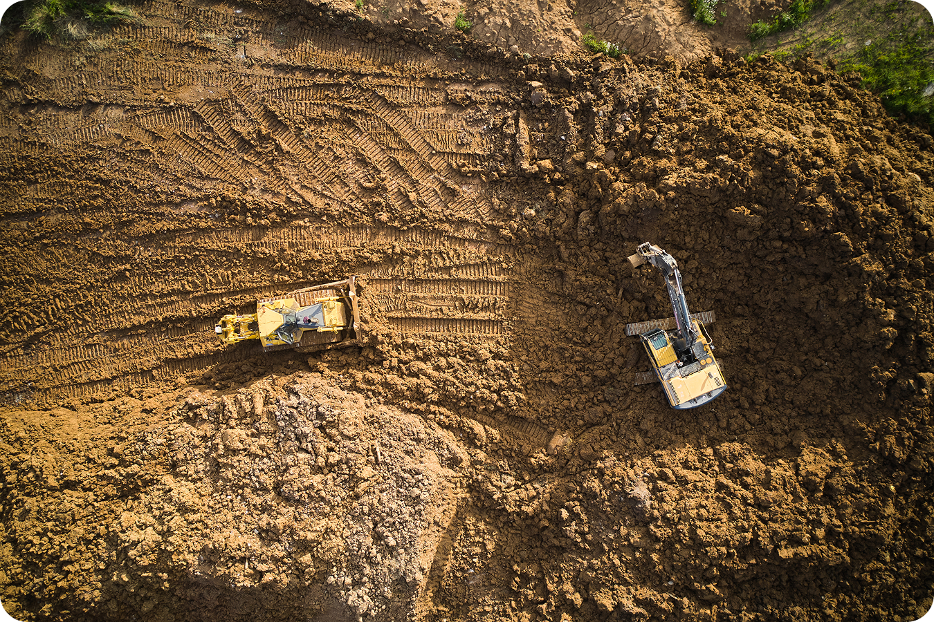
Construction
Propeller gives project teams survey-grade site reality in minutes, so earthworks, quantities, and handover checks are based on what’s actually been built.
- Confirm stripped surfaces against design to validate cut-fill and mass haul assumptions
- Track earthworks progress week over week with defensible volumes for pay apps and change orders
- Verify grade on subgrade, slopes, and pad elevations before concrete and handover
- Reduce rework by catching over and under-excavation early on roads, embankments, ponds, and retaining areas
- Improve borrow pit, fill area, and stockpile balance with accurate inventory on hand
Mining
Propeller turns frequent drone surveys into operational intelligence, helping mine teams reconcile movement, control costs, and keep plans on track with accurate volumes and surfaces.
- Reconcile blasted against moved material by comparing surfaces between specific dates
- Track ROM and product stockpiles with consistent measurement for inventory and production reporting
- Validate contractor progress and quantities with repeatable, auditable volume calculations
- Monitor haul road and pit changes over time to support planning, safety, and scheduling decisions
- Spot variance early by comparing actual surfaces to design surfaces and prior surveys

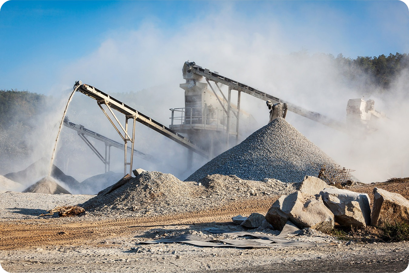
Aggregates and quarries
Propeller makes it easy to measure what you have, what you’ve moved, and what you can sell, supporting faster inventory turns and more confident production and sales decisions.
- Measure inventory stockpiles quickly for accurate on-hand reporting and sales forecasting
- Compare inventory changes between surveys to estimate production and shipment volumes
- Reduce disputes with consistent, repeatable measurements for third-party verification
- Track pit progress toward pit plans and design surfaces to guide extraction sequencing
- Share a stockpile report (PDF or CSV) with internal teams, auditors, and key customers
Waste management
Propeller helps landfill teams treat airspace like inventory, tracking daily and weekly changes so operations can protect capacity, support compliance, and extend site lifespan.
- Track remaining airspace over time with consistent volume-to-surface comparisons
- Monitor daily cover and compaction outcomes by comparing surfaces between dates
- Validate cell development progress and capacity consumption to support planning and reporting
- Reduce risk by identifying unexpected variance early, including settlement, overbuild, and missed areas
- Share clear, defensible surface and volume reports with internal stakeholders and consultants
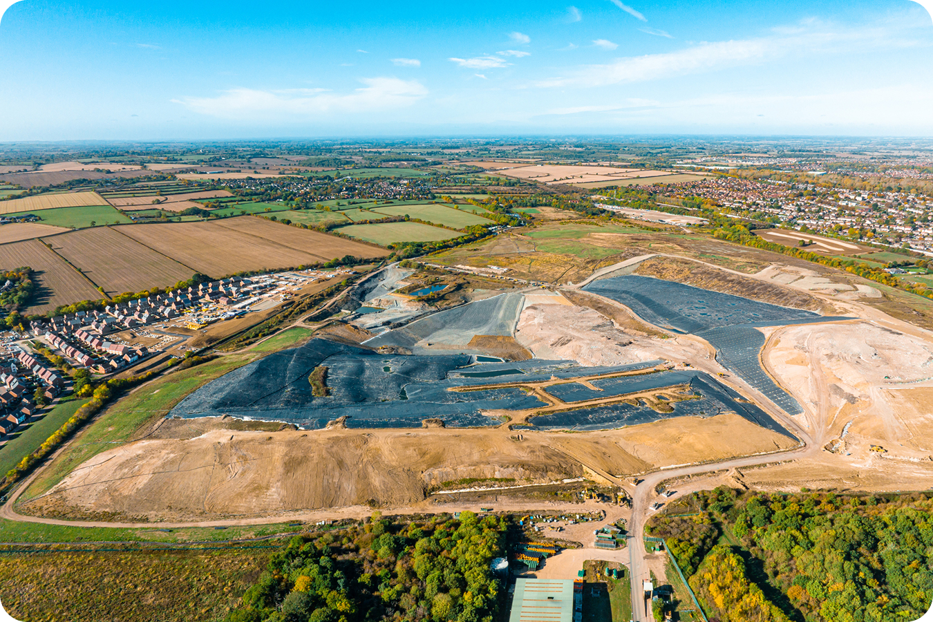
Turn inventory into certainty.
Stop managing cash on hand with estimates. Measure stockpiles in seconds, reconcile change over time, and share a stockpile report stakeholders trust.
Frequently asked questions
A stockpile report is a document that records the measured volume of each pile on your site at a point in time, along with the change since your last survey. A survey-grade stockpile report typically includes volume per pile, the surface or date it was compared against, the accuracy of the underlying model, and a summary suitable for pay apps or month-end reconciliation. Propeller generates one as a PDF or CSV in a few clicks.
With a survey-grade workflow, you can achieve 97–99% volumetric accuracy. That turns inventory and earthworks reconciliation into something you can stand behind with confidence, internally and externally.
Every inventory number starts with accurate stockpile volume measurement. Propeller’s point-and-click tools let you measure any pile to 1–3cm vertical accuracy, then compare it against previous surveys to see exactly what changed. See how volume calculations work.
Stockpile inventory management is the process of measuring and tracking the bulk material stored on your site, so your reported cash on hand matches what’s actually on the ground. With survey-grade drone accuracy, you can measure stockpile volumes in seconds, reconcile changes month over month, and produce a defensible stockpile report for pay apps and stakeholders.
When inventory is based on truck counts and visual calls, variance can quietly creep in, often 10–15%. Propeller replaces estimates with a fast, repeatable digital audit, so your reported cash on hand matches what’s actually on the ground.
Instead of spending days reconciling spreadsheets and site notes, Propeller lets you measure stockpiles in seconds once your map is updated. Month-end becomes a 10-minute workflow, and the stockpile report comes out the other end ready to share.
You can measure stockpiles, borrow and fill areas, and movement over time, then compare current volumes to previous surveys or design surfaces to quantify exactly what changed and when.
Yes. Propeller outputs defensible numbers and professional deliverables, including PDF and CSV stockpile reports, so you can validate quantities for pay apps, reconcile contractor work, and share clear proof with stakeholders.
If the result needs to be defensible, control matters. Survey-grade GCPs like AeroPoints keep your 3D model consistently accurate, so your inventory, progress, and reporting don’t drift over time.