Safety & agency compliance: From risk visibility to defensible proof
Stop relying on scattered photos, paper checklists, and after-the-fact inspections to prove your site is safe and compliant. Propeller gives teams a visual paper trail of site conditions, hazards, measurements, and corrective actions, so you can spot risk before it compounds, clear agency reviews with confidence, and protect your license to operate.
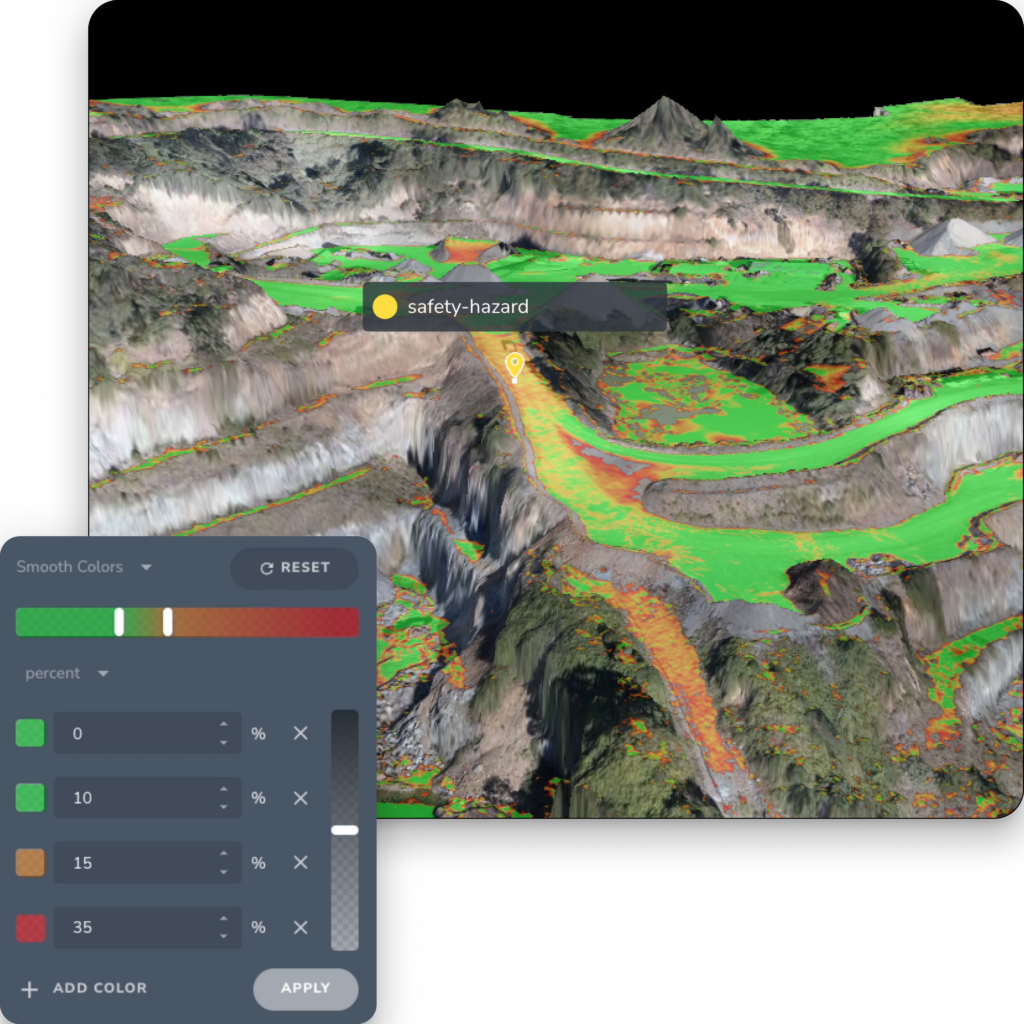
Turn compliance guesswork into a visual paper trail
Most safety and compliance workflows are reactive. Hazards get logged after someone notices them. Inspections live in spreadsheets, screenshots, or paper forms. Site conditions change faster than documentation can keep up. And when an agency, owner, or internal safety team asks for proof, teams are left piecing together what happened from scattered records.
Propeller changes that. By connecting high-precision site data, visual documentation, measurements, markups, and reports in one platform, teams can identify hazards earlier, document what was done, and maintain a defensible record of site conditions over time.
Your team gets more than a hazard log. They get a visual, measurable record of compliance.
The tools that help teams manage safety and compliance
Propeller gives safety, environmental, operations, and project teams one place to identify hazards, document site conditions, measure what matters, and share proof.
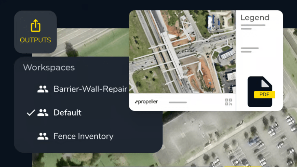
Hazard mapping
Mark hazards on the site map, attach photos and notes, and auto-capture coordinates. Crews and stakeholders see exactly where the risk is and what needs attention.
Supports:
- No-go zones
- Unsafe slopes or access roads
- Water hazards
- Stockpile or pit edge risks
- Work-area boundaries
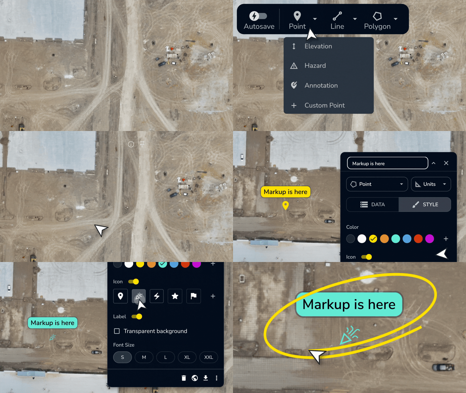
Markups and annotations
Pin annotations to exact site locations. Flag issues, document corrective actions, and keep safety conversations tied to the map instead of a message thread.
Supports:
- Hazard notes
- Corrective action instructions
- Inspection comments
- Crew communication
- Environmental and safety follow-up
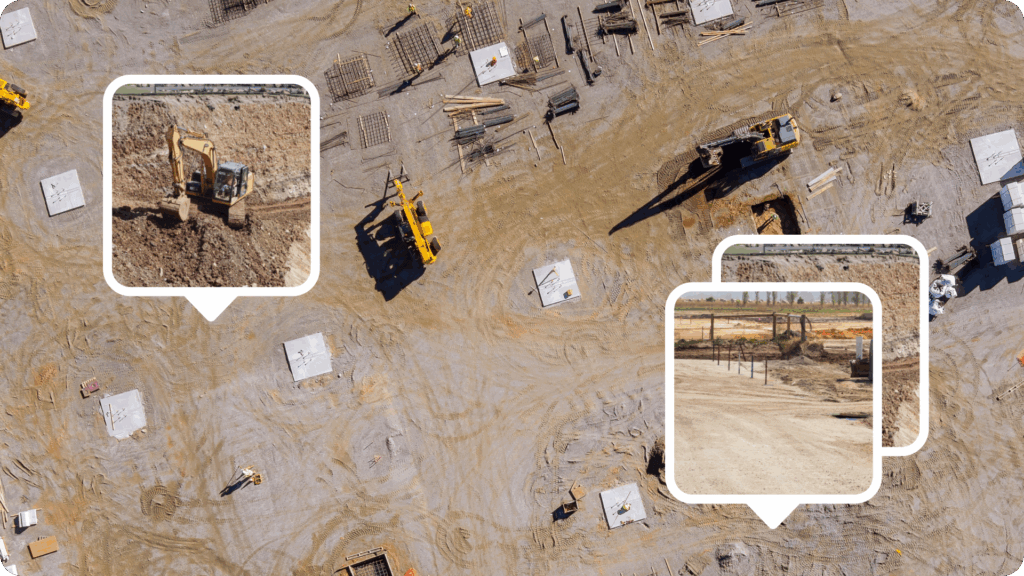
Media and 360 documentation
Pin photos, videos, and 360 walkthroughs directly to the map. Every record is timestamped and location-tagged, so you can show what was observed, when, and where.
Supports:
- Pre-work documentation
- Incident and near-miss evidence
- Corrective action proof
- Agency inspection records
- Before-and-after comparisons
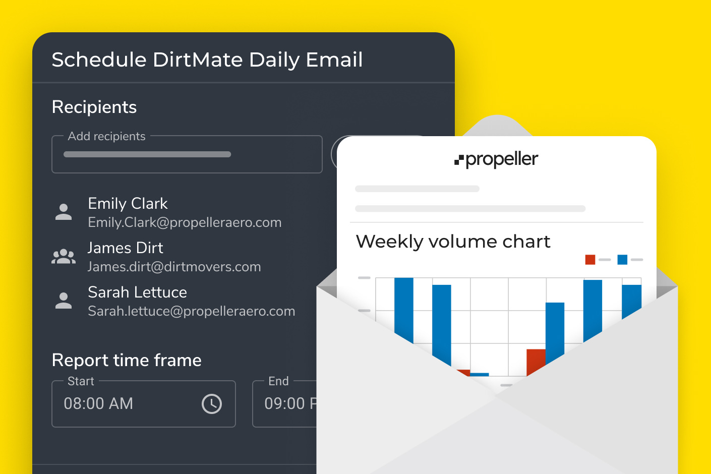
Reporting and shared links
Generate hazard reports, export as PDFs or CSVs, and share interactive site maps via browser-based links with every team, agency, or contractor who needs them.
Supports:
- Compliance reporting
- Safety audits
- Environmental documentation
- PDF maps and measurement reports
- Scheduled and daily reporting
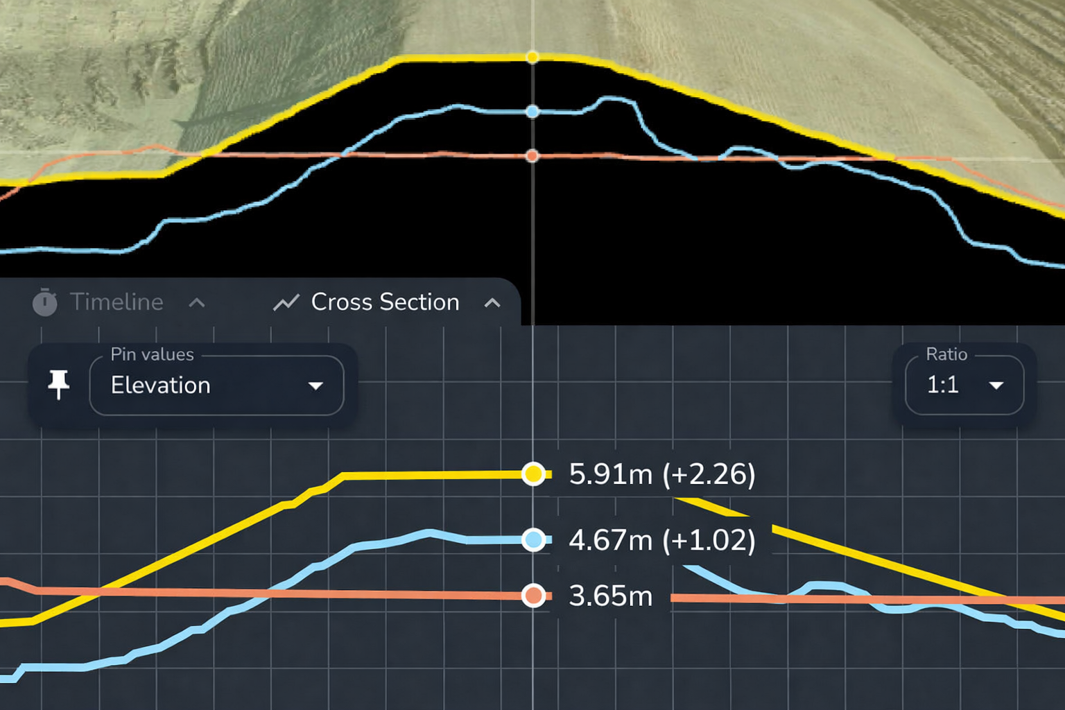
Cross sections and grade checks
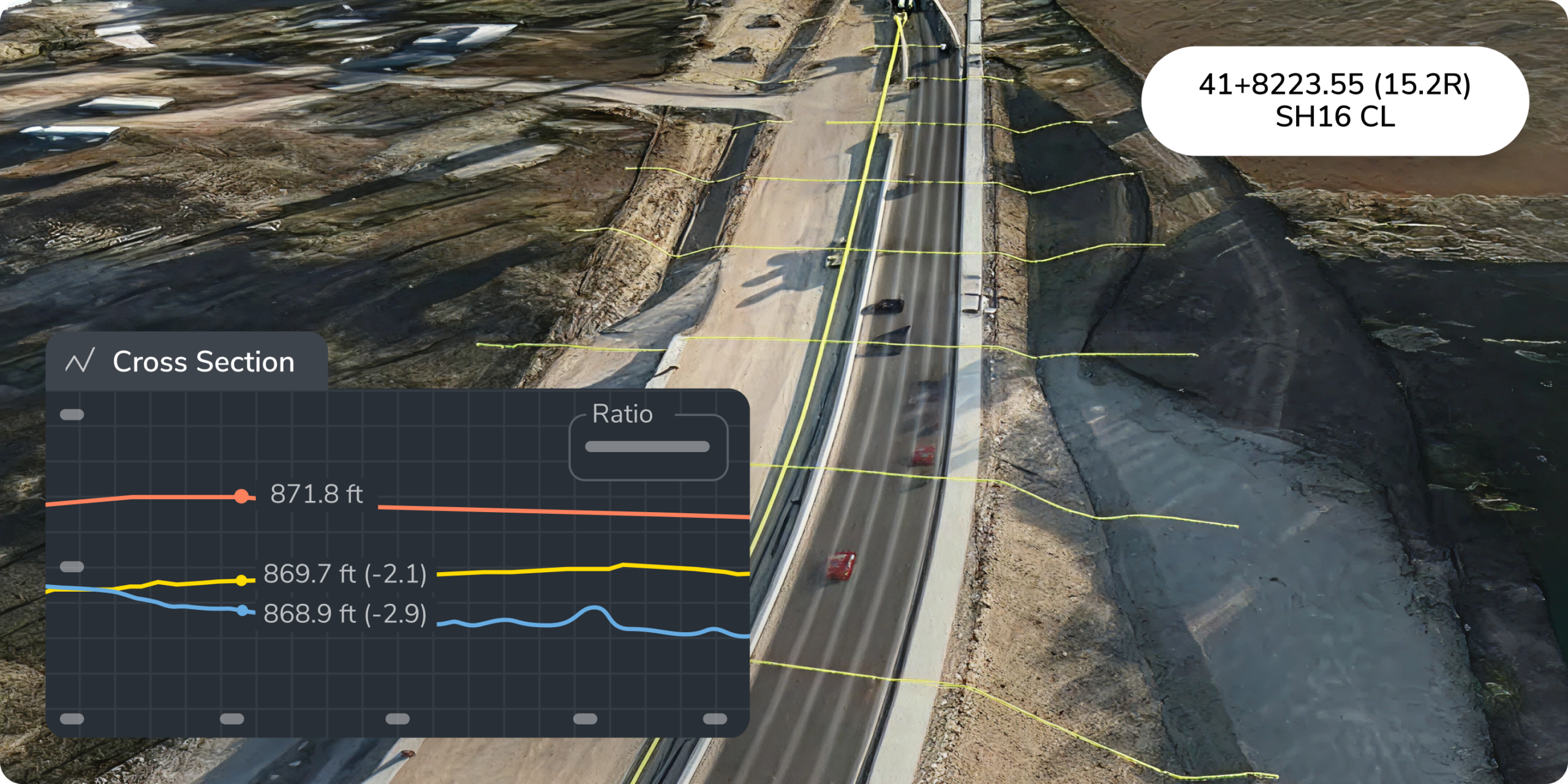
Measure slopes, road grades, berm heights, and trench dimensions across the site. Check berm heights to avoid violations and road grades to reduce rollover risk.
Supports:
- Berm height verification
- Haul road grade checks
- Slope monitoring
- Trench calculations
- Access road safety reviews
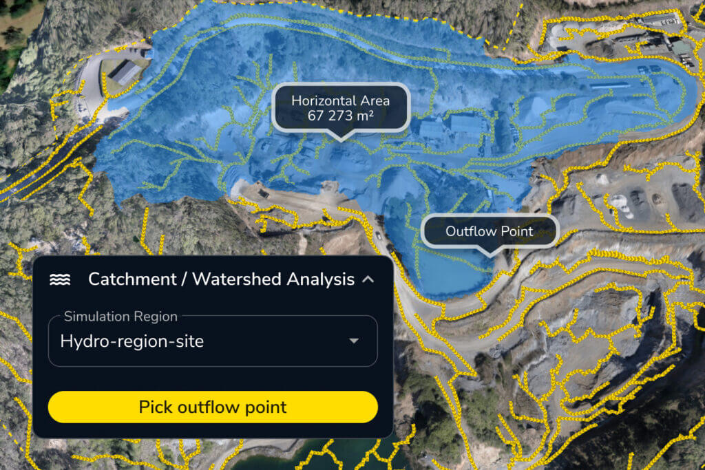
Hydrology and runoff visibility
Track drainage patterns, runoff paths, and water movement across the site. Catch issues before they become environmental problems or inspection failures.
Supports:
- Silt runoff mitigation
- Environmental compliance
- Watershed and drainage monitoring
- Water accumulation tracking
- Drainage issue prevention
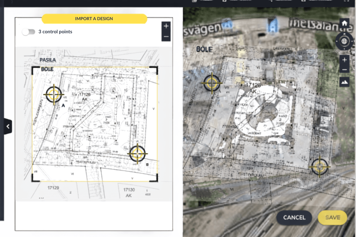
CAD and design overlays
Compare current site conditions against plans, boundaries, no-go zones, and design surfaces. Keep crews aware of constraints before work moves into an area.
Supports:
- Public boundary checks
- No-go zone visibility
- Environmental exclusion areas
- Design vs. actual site condition reviews
- Clear view of constraints before crews move into an area
What every role gets out of it
Safety and compliance work touches every team on site. Here is how Propeller fits each one.

VPs and owners
Get visibility into safety and compliance performance across active sites, backed by dated records, visual documentation, and a defensible site history.
- Reduce liability exposure from undocumented site conditions
- Keep records current for agency or regulatory review
- Maintain better evidence for audits, disputes, and insurance conversations
- Protect your license to operate

Project managers
Maintain a visual paper trail for safety, inspections, and agency requirements. Keep site documentation and corrective action evidence in one place.
- Support audits and agency conversations with defensible records
- Track hazards and compliance conditions over time
- Cut manual reporting time with shareable maps and scheduled reports
- Keep owners and internal teams on the same page

Site engineers
Check whether site conditions match compliance requirements. Use hydrology, grade, and design overlays to review drainage, berms, slopes, and field conditions.
- Monitor hydrology and runoff risk
- Review road grades, berms, trenches, and slopes
- Compare field conditions against design intent
- Document measurements for compliance records

Foremen & supers
Run visual field checks from the cab or truck. Mark hazards, document conditions, and flag corrective actions before work moves to the next phase.
- Spot and mark safety issues directly on the map
- Attach photos and notes without a paper form
- Check haul road grades and berm heights from drone data
- Flag drainage risks before they become inspection issues

Surveyors
Capture safety and compliance data at site scale. Use drone and high-precision data to document conditions that are hard or risky to reach on foot.
- Reduce walking inspections in risky or active areas
- Capture accurate measurements from drone data
- Give safety, environmental, and operations teams usable evidence
- Document conditions across large or complex sites over time
One platform, from capture to proof
Capture, document, measure, and share from one connected system.

Propeller Platform
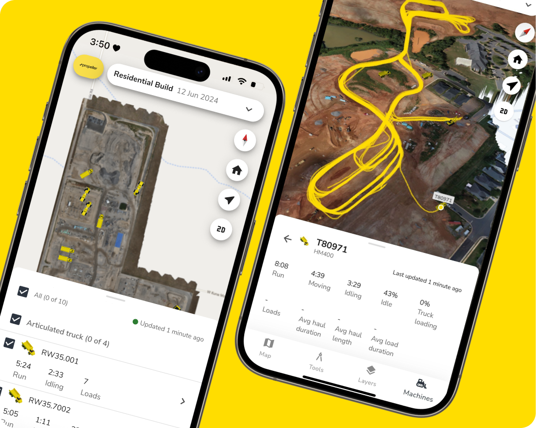
One shared map for the whole site. Teams can view surveys, measurements, hazards, annotations, media, reports, and design overlays from any browser.
Propeller Mobile
Add photos, notes, and field context from the site itself. Safety and office teams see what is happening without waiting for a site walk or manual report.

Drone and hardware integrations
Capture high-precision data across large, active, or hard-to-reach areas. The right capture workflow depends on site conditions and what teams need to document.
Reports and shared views
Share PDFs, measurement reports, scheduled reports, and interactive maps with whoever needs the proof.
Safety and agency compliance by industry
Construction
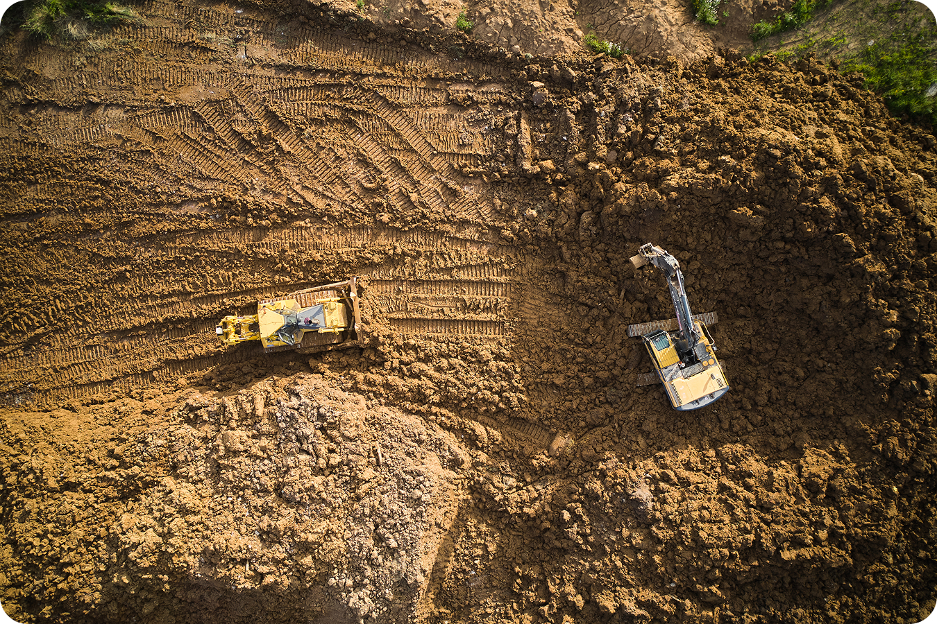
Reduce risk and keep teams aligned around active site hazards, runoff, boundaries, and safe access.
- Monitor runoff and erosion risk
- Mark public boundaries and no-go zones
- Document safety hazards before they become incidents
- Share visual updates with field teams and stakeholders
Mining
Support MSHA compliance and safer haul road management with measurable site records.
- Check safety berms
- Monitor haul road grade tolerance
- Document hazards across active mining areas
- Provide visual records for safety and compliance reviews

Aggregates and quarries
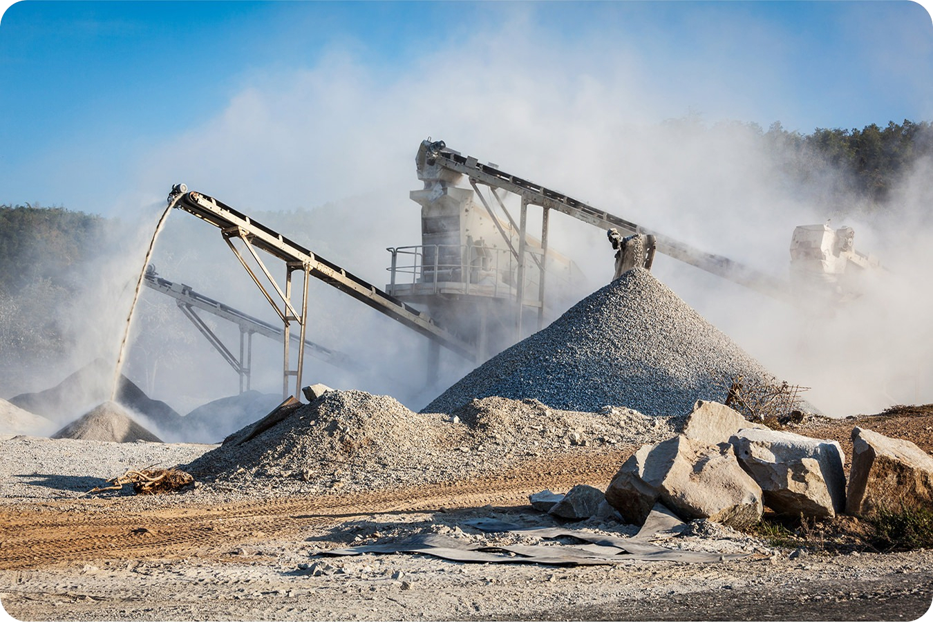
Keep operations and work areas safe with better site visibility.
- Document stockpile and pit edge conditions
- Mark hazardous areas around active piles
- Track site changes that affect safe access and operations
- Support site safety reviews with current map data
Waste management
Support environmental and permit compliance with measurable landfill records.
- Document site conditions tied to permit requirements
- Monitor liner progress and cell conditions
- Track runoff and drainage risks
- Share compliance evidence with internal and external stakeholders
Transportation
Improve environmental compliance and reduce risk near active corridors.
- Monitor environmental constraints
- Document hazards near public roads
- Reduce risk around incidents or access issues
- Share safety updates across distributed work fronts
Surveying
Make safety and compliance checks more efficient by capturing accurate site data without walking every risky area.
- Measure site conditions remotely
- Reduce exposure during inspections
- Provide safety teams with accurate documentation
- Capture repeatable evidence over time
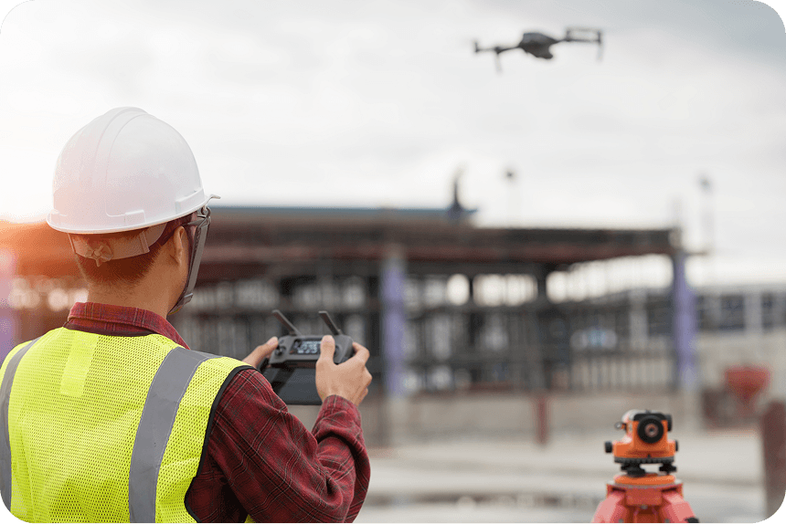
See the site without stepping into harm’s way
Current site data helps teams review conditions without sending people into trenches or other hazardous areas.
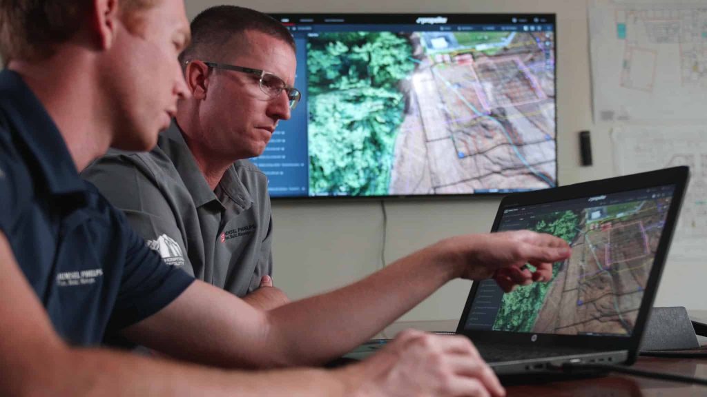
“With Propeller, it eliminates that risk. You’re seeing what your project is, you’re not having to physically go into situations or down in trenches.”
– Adam Cotton, Regional Director of Safety and Health, Hensel Phelps
Stop reacting to risk. Start proving compliance.
Your team shouldn’t have to wait for an inspection, incident, or agency request to understand site risk. Propeller gives you a visual paper trail of site conditions, hazards, measurements, and corrective actions, so you can keep crews safer, clear the next agency review, and protect your license to operate.
Frequently asked questions
A safety and agency compliance workflow is the process of identifying site risks, documenting hazards, measuring safety-critical conditions, and creating records that prove the site meets internal, owner, or regulatory requirements.
Propeller lets teams mark hazards directly on a 3D site map, attach photos and notes, capture coordinates, and generate reports. This creates a location-based record that is easier to understand and share than screenshots or paper forms.
Yes. Propeller helps teams create defensible visual records through high-precision site data, measurements, annotations, media, reports, and shared maps. These records can support internal reviews, owner reporting, and agency conversations.
Propeller helps teams identify hazards earlier, communicate risks visually, monitor changing site conditions, and measure safety-critical features like berm heights, road grades, slopes, drainage patterns, and access routes.
A checklist records that an inspection happened. Propeller adds visual and measurable proof of what was found, where it was located, how conditions changed, and what documentation was shared.