Built for every team on the worksite
Propeller connects every construction team — from the operator in the cab to the VP in the boardroom — with the high-precision data they need to move with confidence.

Powering critical workflows on worksites worldwide










Six teams. One platform.
Propeller is a shared platform, but the wins are personal. We connect field data to every decision-maker so you can stop guessing and start growing.
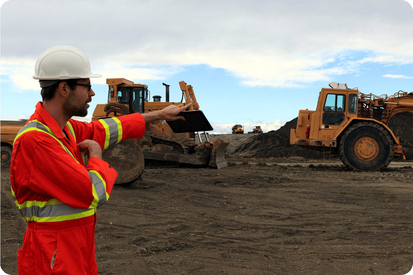
Foremen + superintendents
Know exactly what’s been graded and where your crew needs to be without ever leaving the truck.
Key win
Track daily production rates and schedule vs. actual at a glance
Propeller solves this
Mobile app with site maps and real-time measurements
“It’s changed how we work. Everyone can get what they need, when they need it. And it’s saving our engineers a ton of time.”
– Adam Procter, Technical Director at Collins Earthworks
Project managers
Validate subcontractor quantities and protect your margin with a data trail that backs every decision.
Key win
Verify pay apps and validate quantities with defensible data
Propeller solves this
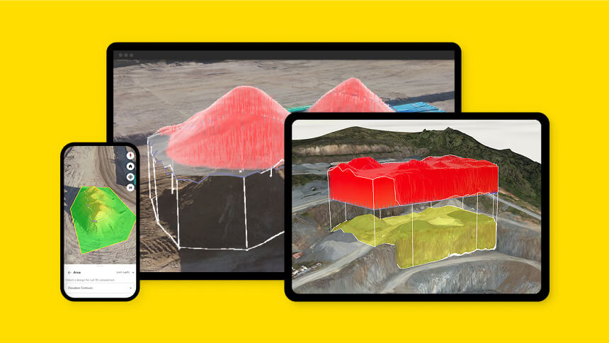
Cut/fill to design comparisons and surface reporting
“All our project managers are in training for the platform, and every single one of them is loving it because they don’t have to wait to get a volume metric on some small calculation. They can log into the platform and get whatever calculations they need. Our people can collaborate better, and there are no bottlenecks hindering our access to data.”
– Patrick Schultz, Assistant Project Manager (Grade and Quality Control) at R&K Excavation

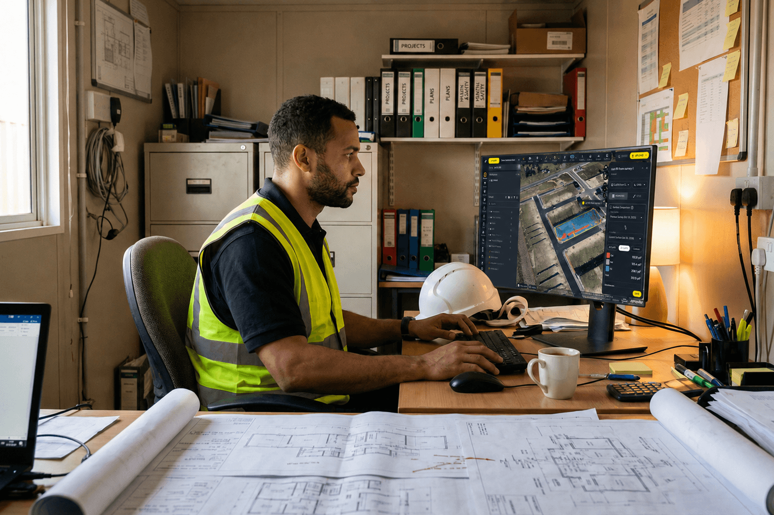
Site engineers
Overlay CAD designs on live 3D survey data to verify as-builts and flag utility conflicts early.
Key win
Real-time situational awareness for utility strikes and trench completion
Propeller solves this
Heatmaps and cross-section analysis for design conformance
“Mapping bigger worksites used to take five days, now we do it in one day. Not only are we faster, but the data is more accurate than before. The smooth processing by the Propeller team has impressed us since the first site survey.”
– Lukas Plaum, Civil Engineer at Hinterlang
VPs + owners
Oversee your entire portfolio from a single dashboard and build client confidence with professional progress visuals.
Key win
Portfolio-level financial transparency and operator efficiency insights across all active projects
Propeller solves this
Multi-site portfolio view in a single platform login
“As a company, we pride ourselves in being a value-added contractor. We love when we can sit down with a project owner and discuss where R&K can add value to their project.”
– Patrick Schultz, Assistant Project Manager (Grade and Quality Control) at R&K Excavation


Surveyors + GIS
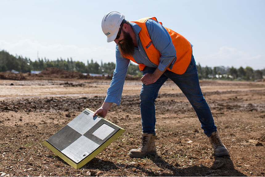
Run faster, safer workflows with automated PPK processing and AeroPoints ground control.
Key win
Faster turnaround with AeroPoints and automated data processing
Propeller solves this
Automated PPK processing and AeroPoints ground control for high-precision, audit-ready data
“Previously, data processing was a bottleneck. Now, I simply upload the data and get back precise point clouds, orthophotos, and digital terrain models. The best part is that all project stakeholders can directly access the data without everything being solely my responsibility.”
– Matthias Kibwebwe, Surveyor at Gröschler Bauprojekt GmbH
Estimators + bidders
Verify quantity takeoffs before dirt moves and build a feedback loop from past projects to sharpen future estimates.
Key win
Verify bid quantities against high-precision existing ground data
Propeller solves this
Existing ground surface surveys for day 0 confidence
“The estimating team is layering design surfaces over current site maps to build smarter bids”
– Adam Procter, Technical Director at Collins Earthworks
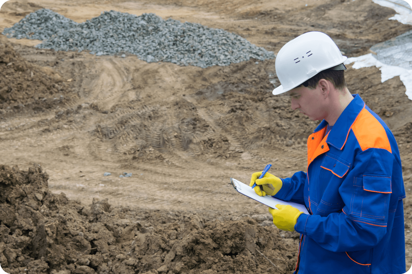
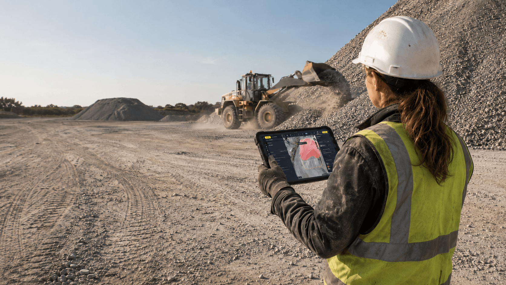
Quarry & Aggregates Manager
Drone surveys replace dangerous manual measurements and keep your team off the pile and your books accurate.
Key win
Accurate stockpile measurement and real-time intake vs. on-hand tracking without sending anyone up a pile
Propeller solves this
Stockpile measurement tool with cut/fill comparisons, inventory reports, and historical volume tracking for precise, audit-ready inventory management
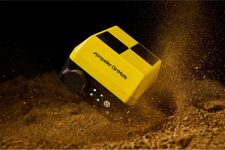
“We didn’t know we needed DirtMate until we had it. And now that we have it, it’s become a vital part of our day-to-day operations at the quarry.”
– TJ Greene, Mine Engineer at York Building Products
Unlock the full workflow
See it from your seat
Tell us your role and we’ll show you exactly how Propeller works for your daily workflow.