Understanding data for smarter construction monitoring & tracking
Get one shared map for every project. Bring surveys, designs, and field updates together to measure progress, explore options, and keep teams aligned from initial ground capture to closeout.












Build faster and smarter with connected site data

A connected site from field to office
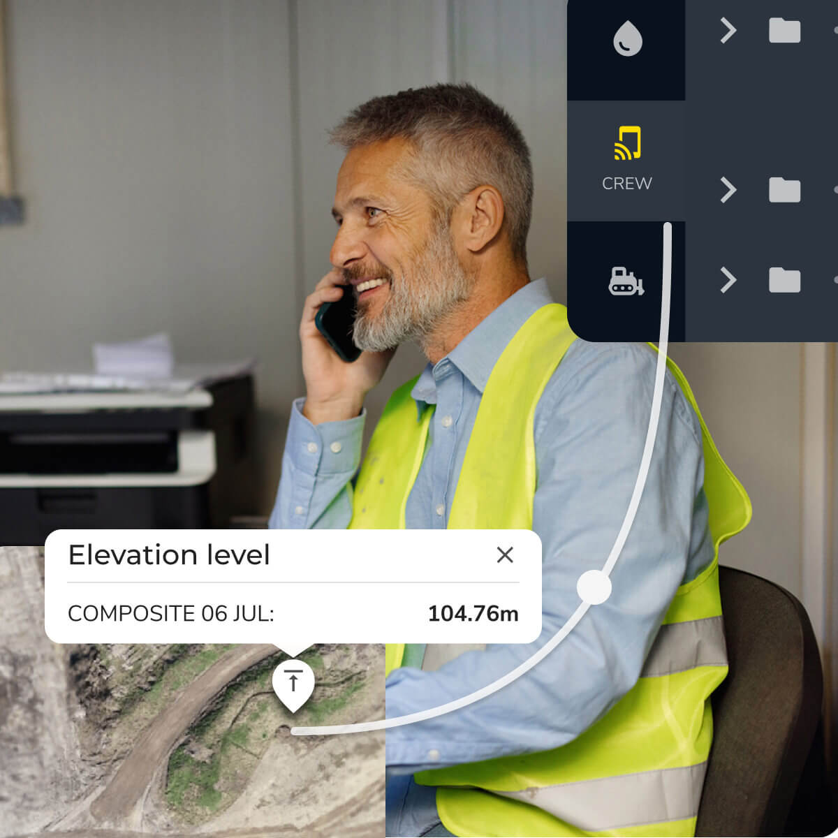
Bring survey data, drone maps, field observations, and design files together in one cloud platform. Give everyone a shared view of the site and the context to make informed decisions.
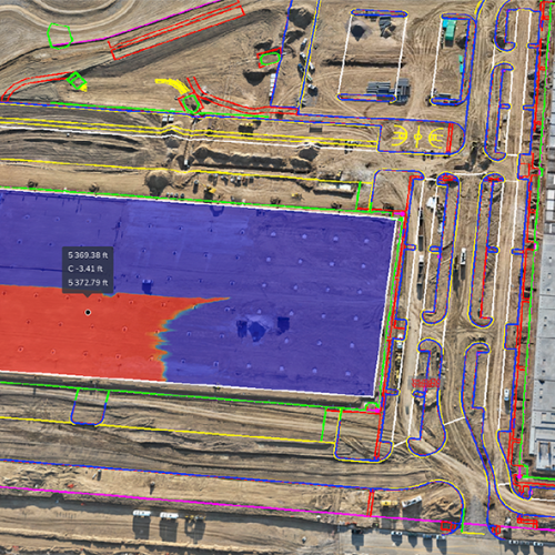
See progress. Plan your next move.
Compare surveys to measure material movement, review cut and fill, and check progress against design. Keep planning conversations grounded in measured site conditions.

Explore options before work begins
Use Propeller CAD to turn ideas into preliminary earthworks designs on real survey terrain. Refine concepts and bring clearer options to your engineering team for review.
Drive operational efficiency with high-precision site data
Cut costs with confidence and eliminate collaboration bottlenecks by giving your whole team instant access to site data and calculations.


“Propeller is going to save us a lot of time and money on this project. Now, our in-house GIS/grade control coordinator doesn’t have to sit for three hours processing surveys. He can concentrate on grade control for a lot of other things. So, it has freed up his time quite a bit.”
– Patrick Schultz, Assistant Project Manager for Grade and Quality Control at R&K Excavation
Follow the work, phase by phase
See how Propeller supports your team from pre-construction through phase closeout, with the right data at every step.

Know the ground before you break it
Capture accurate existing ground for pre-con topo and bid surveys, so your estimates start from real data, not assumptions.
Build to the model
Import design files and overlay them on your site to confirm your team is working to spec from day one.

Track what’s changed
Follow earthworks progress, compare surfaces to design, and see machine activity so you can catch issues before they become rework.
Stay covered, stay compliant
Document dig permits, utility avoidance, and SWPPP measures with timestamped high-precision data that backs you up.
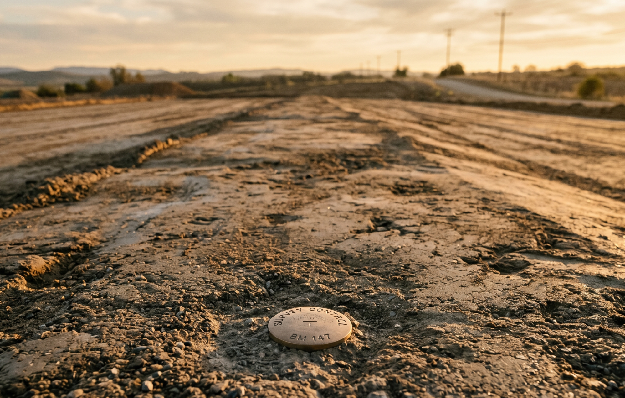
Prove the work, get paid
Verify pay apps, reconcile quantities, and confirm as-built against design so billing is fast and disputes are rare.
Smarter solutions for faster, more efficient builds
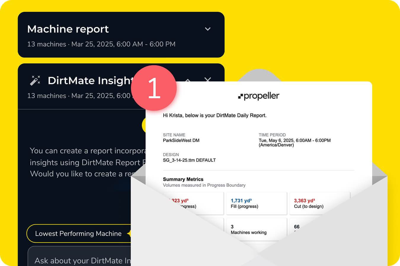
Daily reporting
Turn survey and drone data into clear progress updates. Measure volumes, review cut and fill, and compare site conditions against design on an interactive 3D map. Share results to keep field and office teams aligned.
3D mapping
Get high-resolution, georeferenced 3D mapping of your site to improve planning, design validation, and stakeholder communication. Integrate progress tracking directly into your visual workflow for instant clarity.

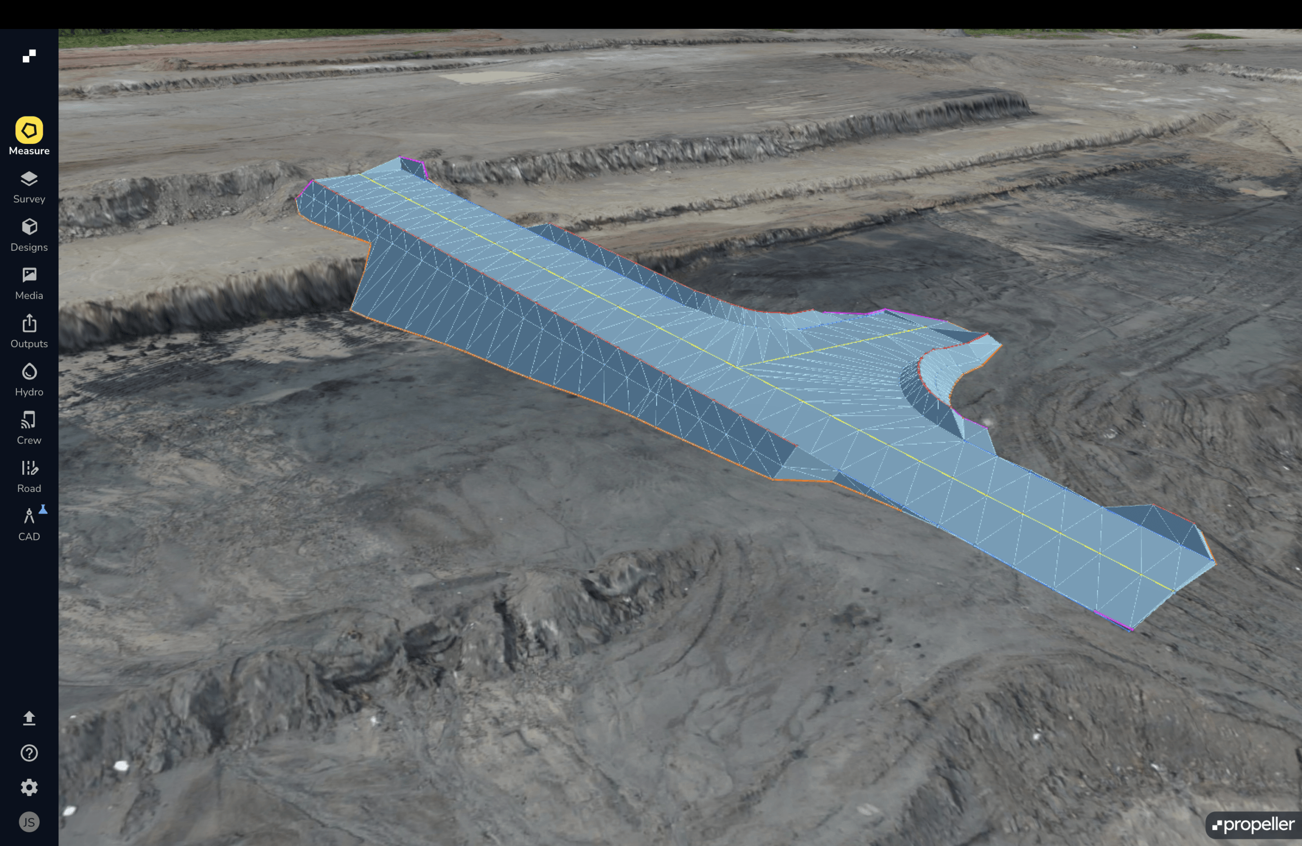
Turn site ideas into earthwork designs
Describe a haul road, ramp, or pad and use Propeller CAD to create a preliminary design on your real survey terrain. Explore options, refine your concept, and share it for qualified review before field use.
Design conformance + visibility
Verify work aligns with design specifications to ensure quality control and compliance. Leverage construction analytics to quickly spot deviations and reduce costly rework.
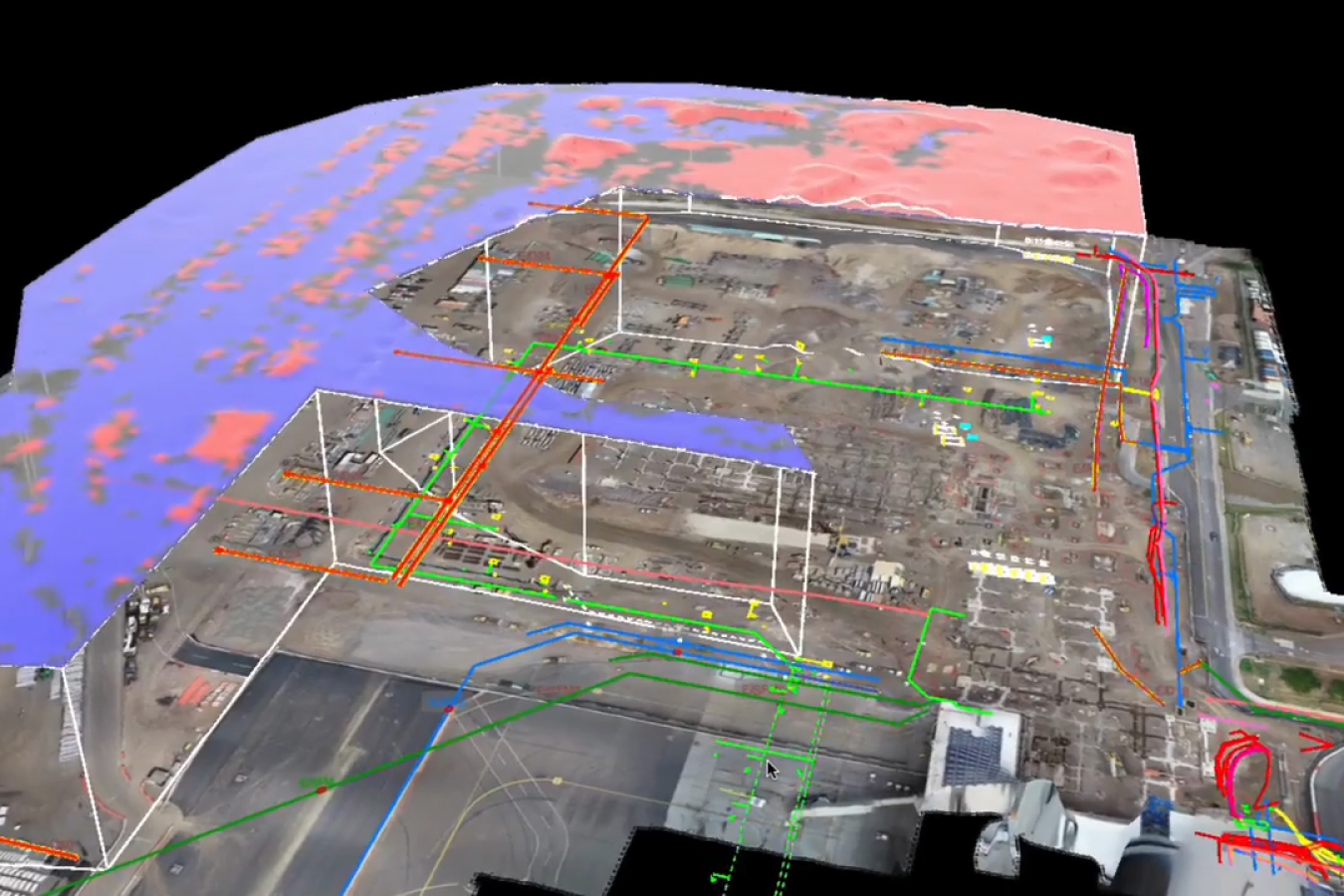

APIs + integrations
Connect Propeller with your existing software stack for seamless data insights. Ensure teams always work from the latest project tracking updates without manual entry.







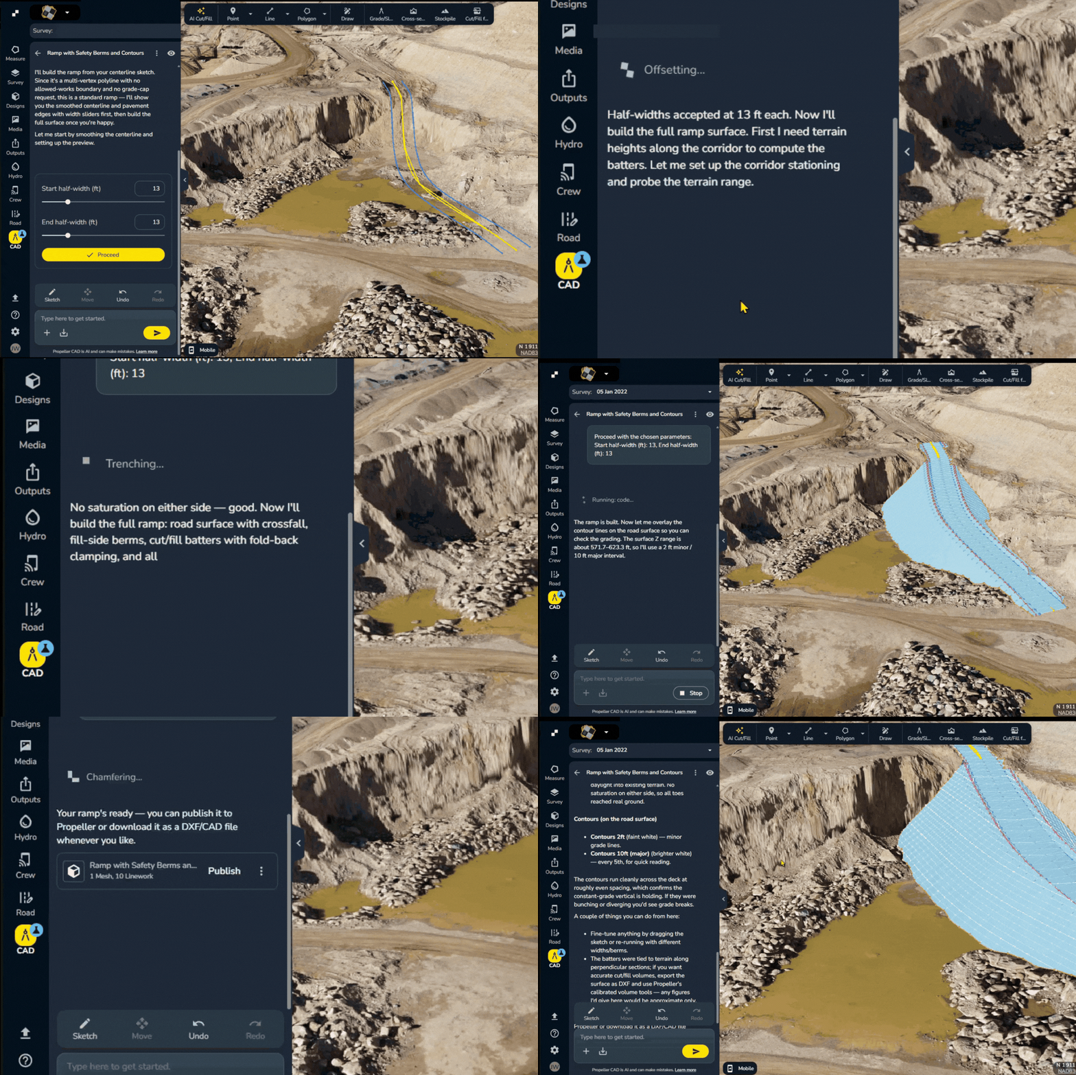
Turn site ideas into earthwork designs
Describe a haul road, ramp, or pad and use Propeller CAD to create a preliminary design on your real survey terrain. Explore options, refine your concept, and share it for qualified review before field use.
Frequently asked questions
Compare surveys over time to understand completed work, remaining quantities, and differences from design. Share measurements and reports so teams can identify issues and plan their next steps using the same site data.
Yes. Propeller CAD helps teams create preliminary earthworks concepts by describing what they need in plain language. Explore roads, ramps, and pads on real survey terrain, then refine and share concepts for qualified review. It complements detailed engineering rather than replacing it.
With Propeller, every stakeholder, from field crew to operational management, works from one shared map. Georeferenced comments, markup tools, and mobile access make collaboration simple, reducing miscommunication and keeping project tracking consistent.
Propeller automates volume calculations, cut-fill analysis, and design conformance checks, giving you instant insights into earthmoving progress. This means more accurate billing, fewer disputes, and better cost control.
Propeller supports data exchange with surveying and design tools, helping teams bring site data into their existing workflows. Explore the supported integrations and file formats to find the right fit for your software.
Drone surveys provide a site-wide view, while DirtMate connects precise field measurements to your Propeller map. Use it with the mobile app to capture points, check grade, and stake out designs.