Field-to-office communication, from site reality to office decisions
Stop managing jobsite updates through screenshots, phone calls, and outdated files. Propeller connects crews in the field with teams in the office through a shared 3D view of the site, so everyone can see what’s changed, flag what needs attention, and work from the same picture of the site.
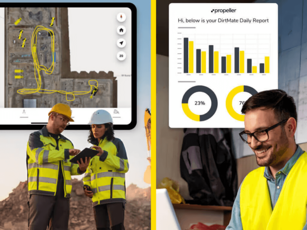
Turn the jobsite telephone game into one shared view
Most site communication still relies on fragmented updates: a photo texted from the field, a plan revision buried in an email, a foreman calling the office for clarification, or a project manager making decisions from yesterday’s information.
That gap creates delays, rework, missed context, and expensive misunderstandings.
Propeller connects field and office around one current view of the site. Crews, surveyors, engineers, project managers, and stakeholders can all work from the same up-to-date 3D map, with designs, measurements, media, markups, and progress data in one place.
Field teams stop chasing files. Office teams stop guessing what’s happening on site.
The tools that keep field and office aligned
Propeller gives every team one shared view of the site to communicate conditions, design updates, progress, and next steps, without the screenshots, spreadsheets, or manual reporting.
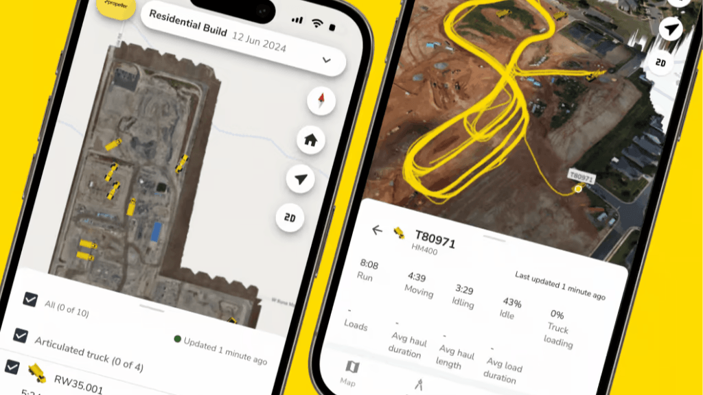
Propeller Mobile
Give field teams the map in their pocket. Crews can access the latest site data, designs, and measurements from a phone or tablet while they’re on site.
- View current site surfaces and designs
- Check measurements in the field
- Add photos, notes, or markups from the field
- Reduce back-and-forth with the office
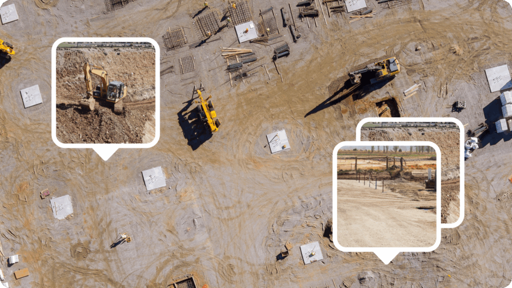
Media and site documentation
Pin photos, videos, and notes directly to locations on the map, so the office can see exactly what happened and where.
- Document safety issues
- Capture progress photos
- Document changing site conditions
- Add inspection notes
- Create a timestamped record for handoffs, pay apps, and disputes
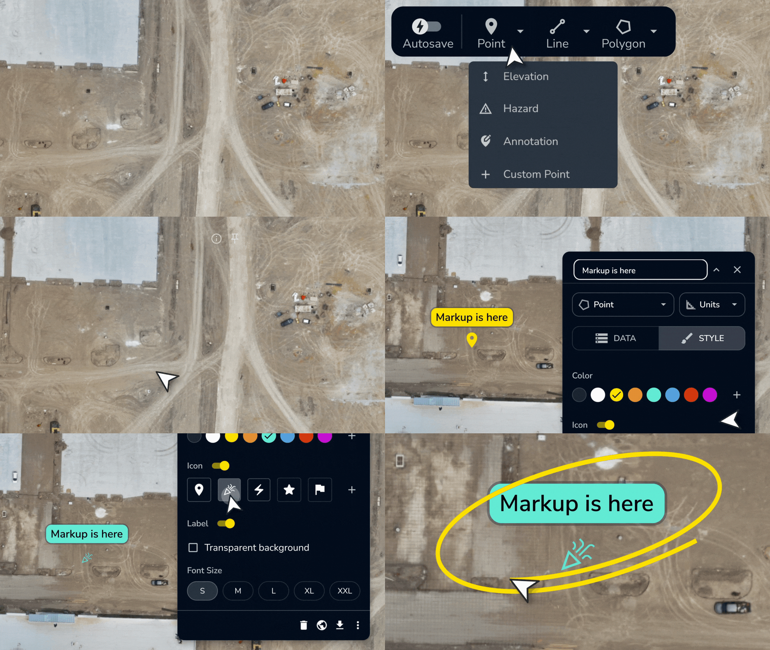
Markups and annotations
Replace vague directions with location-based communication. Teams can mark up the map, flag issues, clarify work areas, and share visual instructions tied to the actual site.
- Clarify design questions
- Track and log issues
- Hand off context between shifts or crews
- Connect surveyors, engineers, and foremen on the same view
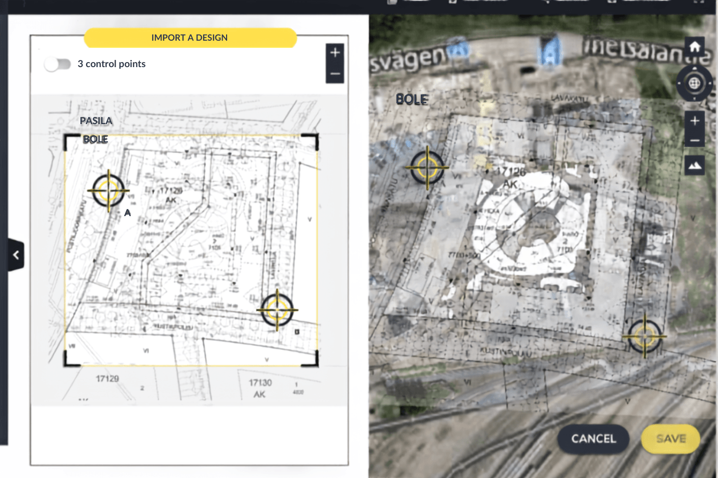
Shared designs and overlays
Keep field crews and office teams working from the same plan. Upload designs, compare them against the latest survey, and make sure everyone is looking at the same version.
- Prevent field crews from working off outdated plans
- Compare as-built conditions to design
- Help crews understand what needs to happen next
- Give crews the design context to execute correctly
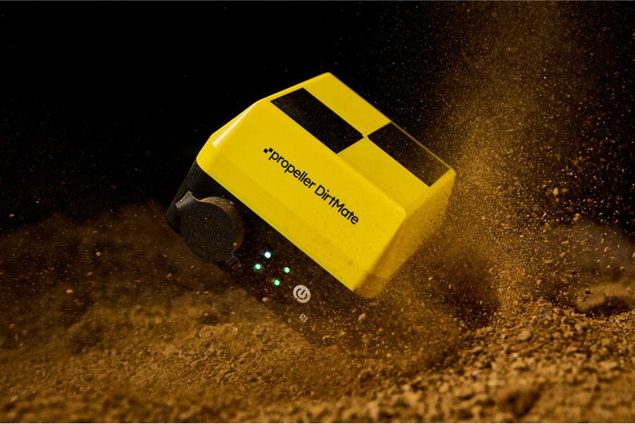
Real-time machine and site data
Connect field activity to the office map with DirtMate. See machine location, trails, surfaces, and utilization so the office understands what’s happening without waiting for a manual update.
- Real-time machine visibility
- Visibility into production volumes and machine activity
- Faster decision-making
- Reduced reporting lag
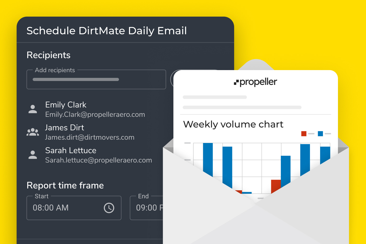
Scheduled reports and shared links
Keep stakeholders informed without rebuilding updates manually. Share maps, reports, and links with people who need visibility, even if they aren’t working in Propeller every day.
- Client updates
- Subcontractor coordination
- Executive visibility
- Owner reporting
What each team gets from a shared site map
Field-to-office communication looks different depending on the role. Propeller gives each team the context they need without forcing everyone into the same workflow.

Surveyors
Stop being the go-between for every question about the site. Give the office, field crews, subcontractors, and clients access to accurate site data without becoming the bottleneck for every measurement, screenshot, or clarification.
- Reduce repeated requests for basic site information
- Share high-precision data in a format others can use
- Keep designs, surfaces, and markups tied to the same map

Foremen and superintendents
Document work without the clipboard. Capture site conditions, issues, and progress from the field, then share it tied to the map so the office has the full picture.
- Record progress and issues as they happen
- Give the office a clear picture of what happened and where
- Avoid delays caused by unclear instructions or outdated plans

Project managers
Cut down on site visits and reactive decision-making. See what’s happening across the jobsite from the office and make faster decisions with visual proof.
- Reduce unnecessary travel
- See the status of every active work area without a site visit
- Support schedule, cost, and stakeholder conversations with current data

Site engineers
Communicate design intent back to the field. Help crews understand changes, verify conformance, and catch potential issues before they turn into rework.
- Share design updates visually
- Compare field conditions against the model
- Clarify trench completion, utility strikes, or work-area changes

Owners and external stakeholders
Stay informed without chasing updates. View progress, reports, and current site conditions through shared links or scheduled reports.
- See exactly what’s been completed and what’s next
- Reduce manual reporting
- Get clear visual updates without asking for them
How Propeller connects field and office
Propeller brings together field capture, mobile access, machine data, and office analysis in one connected platform.

Propeller Platform
Your shared command center for site communication. Teams can view the latest surveys, designs, surfaces, measurements, markups, reports, and media in one browser-based workspace.
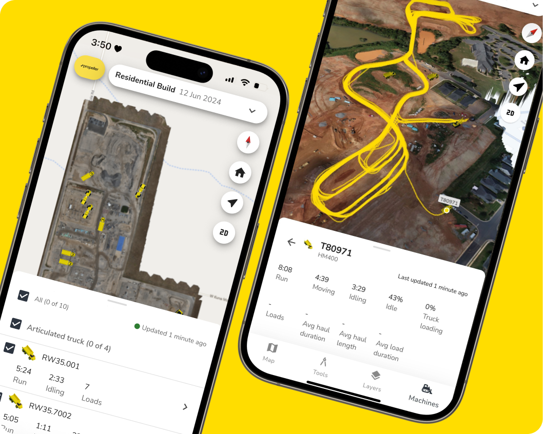
Propeller Mobile
The field-ready view of your site map. Crews can access site data, capture media, and communicate updates directly from the jobsite.
DirtMate
Real-time machine visibility for the office. DirtMate streams machine location, activity, and surface updates into Propeller, helping teams see what’s happening without waiting for the next survey or report.

Drone and hardware integrations
Capture the full site picture with drones, AeroPoints, GNSS rovers, handheld scanning, and other supported hardware. Give teams the accurate visual context they need to communicate and decide.
Field-to-office communication by industry
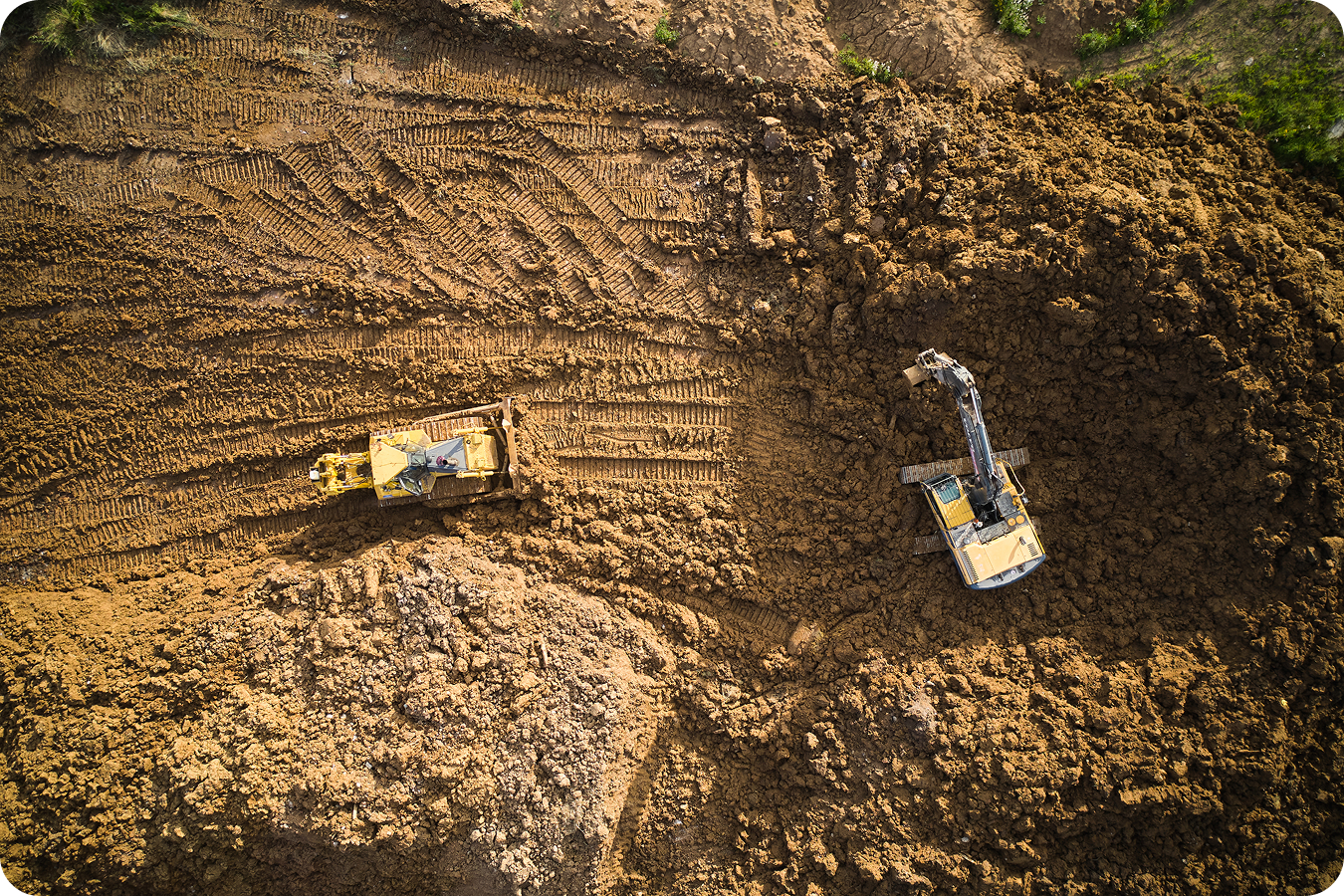
Construction
Keep the office and field aligned from preconstruction through closeout.
- Share design updates with field teams
- Document progress and site issues
- Communicate around utility strikes, trench completion, or rework areas
- Keep project managers informed without constant site visits
Surveying
Reduce the surveyor’s role as the go-between for every site question.
- Share accurate site data with stakeholders
- Give contractors and clients access to the same visual context
- Reduce repeated measurement and file requests
- Manage communication between general contractors, subcontractors, and clients
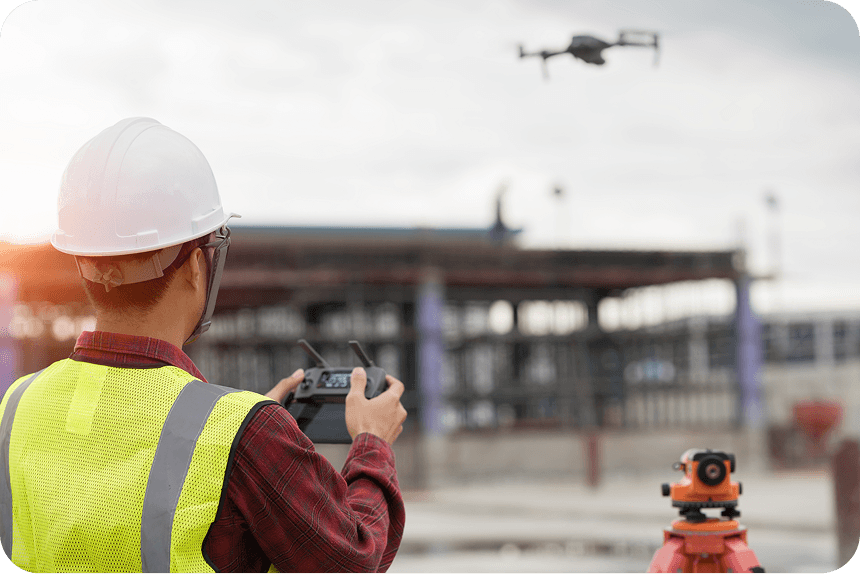

Mining
Improve situational awareness across large, active sites.
- Document safety issues and changing site conditions
- Share site updates between office teams and operators
- Track inventory checks and operational changes
- Improve visibility across multiple work areas
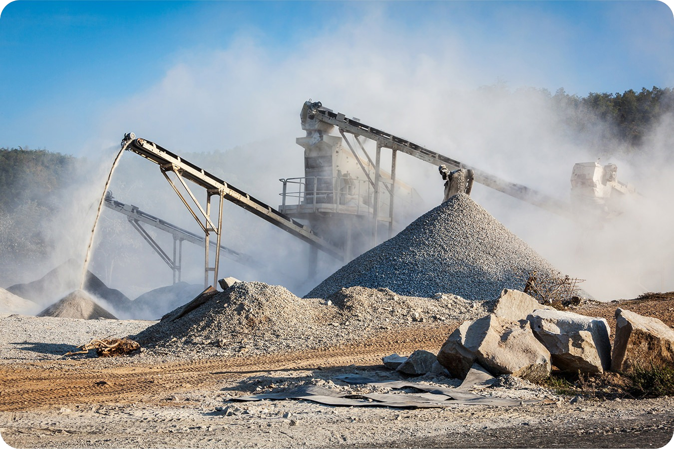
Aggregates and quarries
Keep teams aligned on inventory, production areas, and changing site conditions.
- Share stockpile and pit updates
- Document safety issues
- Improve awareness between site teams and office staff
- Support inventory checks with visual evidence
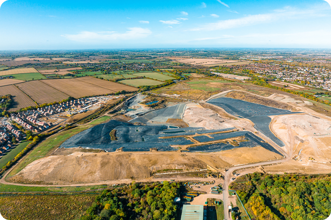
Waste management
Give remote oversight teams visibility without constant site travel.
- Monitor multiple sites from the office
- Document cell progress and site conditions
- Share updates with compliance or operations stakeholders
- Reduce travel time for managers overseeing multiple locations
Transportation
Coordinate long, distributed projects from one shared map.
- Communicate across multiple departments or work fronts
- Document site progress across corridors
- Share subgrade, alignment, and field condition updates
- Keep office teams aware of changing site realities
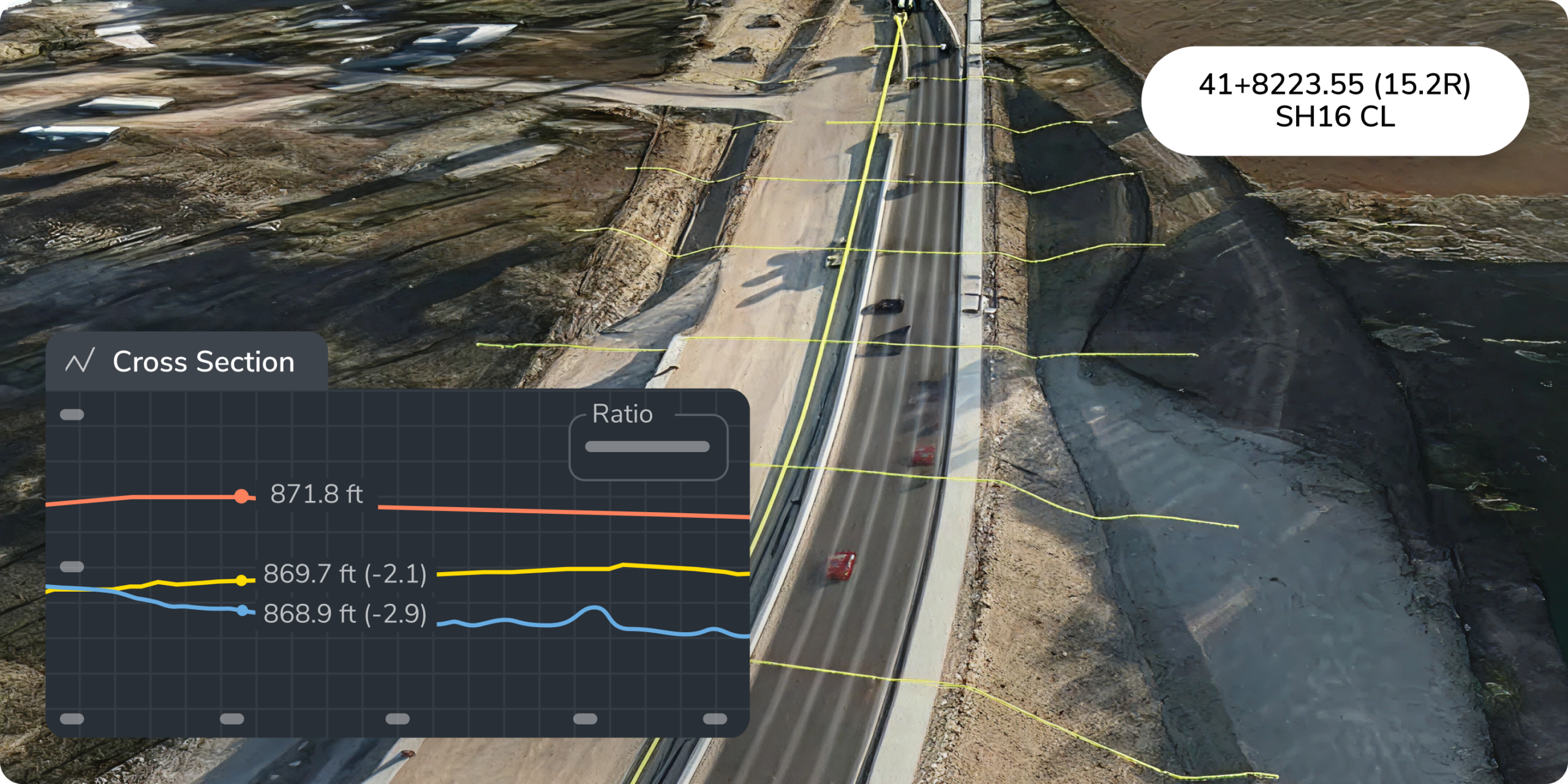
Less chasing. More doing.
Give project managers direct access to the calculations they need, so questions get answered without another handoff.
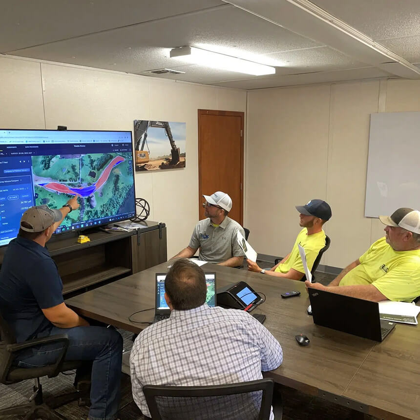
“All our project managers are in training for the platform, and every single one of them is loving it because they don’t have to wait to get a volume metric on some small calculation. They can log into the platform and get whatever calculations they need. Our people can collaborate better, and there are no bottlenecks hindering our access to data.”
– Patrick Schultz, Assistant PM Grade & Quality Control, R&K Excavation
Stop chasing updates. Start communicating from the same map.
Your field and office teams shouldn’t have to piece together a picture of the site from phone calls, screenshots, and stale files. Propeller gives everyone a shared 3D view of the jobsite, so teams can see what changed, understand what matters, and make decisions faster.
Frequently asked questions
Field-to-office communication is the process of sharing site updates, design information, progress data, issues, and decisions between crews in the field and teams in the office. With Propeller, that communication happens through a shared 3D map of the jobsite, so everyone can work from the same visual source of truth.
Field teams can use Propeller Mobile to view site maps, designs, measurements, and updates directly from a phone or tablet. They can also capture photos, add notes, and share updates without returning to the office.
Propeller centralizes site data, designs, measurements, media, and markups in one platform. Instead of relying on screenshots, emails, or verbal descriptions, teams can point to the exact location on the map, share what they’re seeing, and respond with the same information in front of them.
Yes. Teams can share site information through scheduled reports, PDFs, and shared links, helping clients, subcontractors, executives, and owners stay informed without needing to manage every detail inside the platform.
General collaboration tools can share messages and files, but they usually lack site context. Propeller connects communication directly to the 3D map, designs, surfaces, measurements, machine activity, and field media, so conversations are tied to the actual worksite.