Bid sharp with drone-powered earthwork quantity takeoff.
The data behind your number is what wins or loses the job. Propeller gives estimators high-precision site surveys, accurate volume takeoffs, and a documented baseline that keeps every bid and every invoice on solid ground.
Know exactly what you’re pricing before you commit
A verified baseline before you price the job
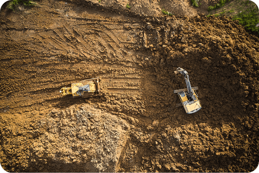
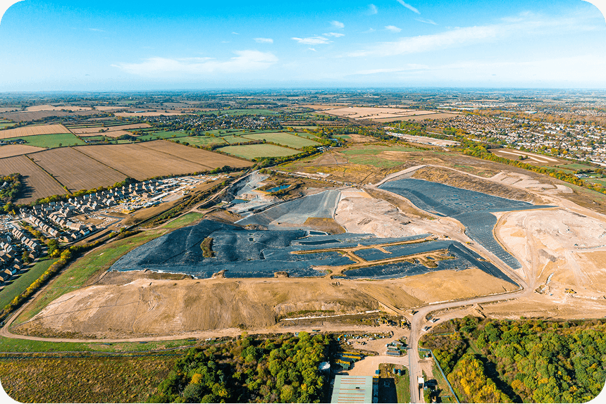
Fly a prospective site and know exactly what you’re working with. Accurate topographic data means your quantities are grounded in reality before you commit to a number.
Conditions surfaced before they become surprises
Terrain, drainage, and access constraints are visible from day one. Get them on the table early and price them accurately rather than absorbing them later.
Sharper numbers that win more work
Tight margins require tight estimates. Teams working from high-precision site data produce more accurate bids and build a track record that compounds over time.
“In terms of quoting and invoicing, I can precisely quantify work completed to the cubic meter, ensuring that construction steps are billed accurately. The continuous monitoring of process changes allows me to generate impeccable invoices, leaving no room for disputes.”
– Kevin Kornburger, Site Manager and Surveyor at Kornburger
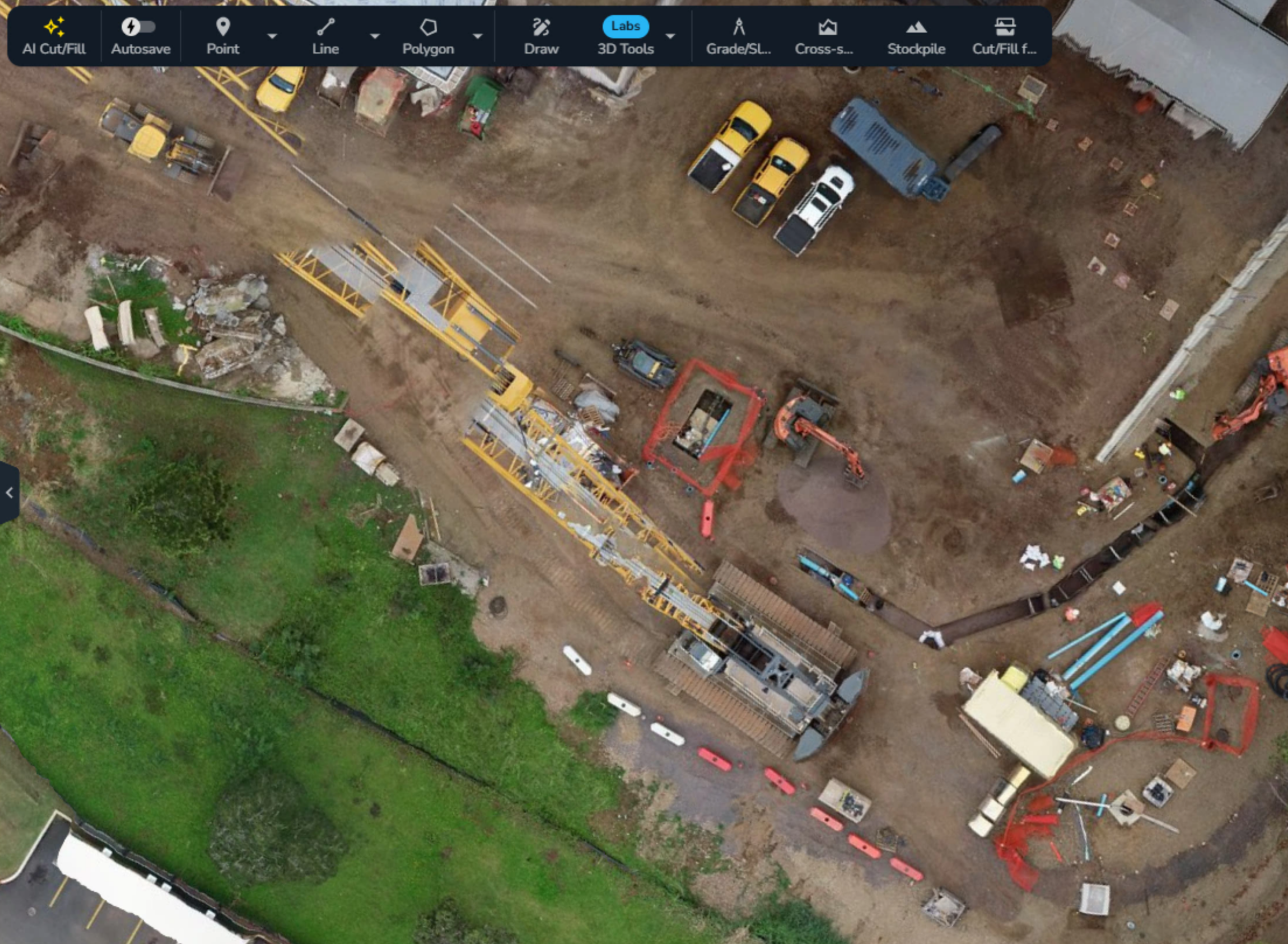
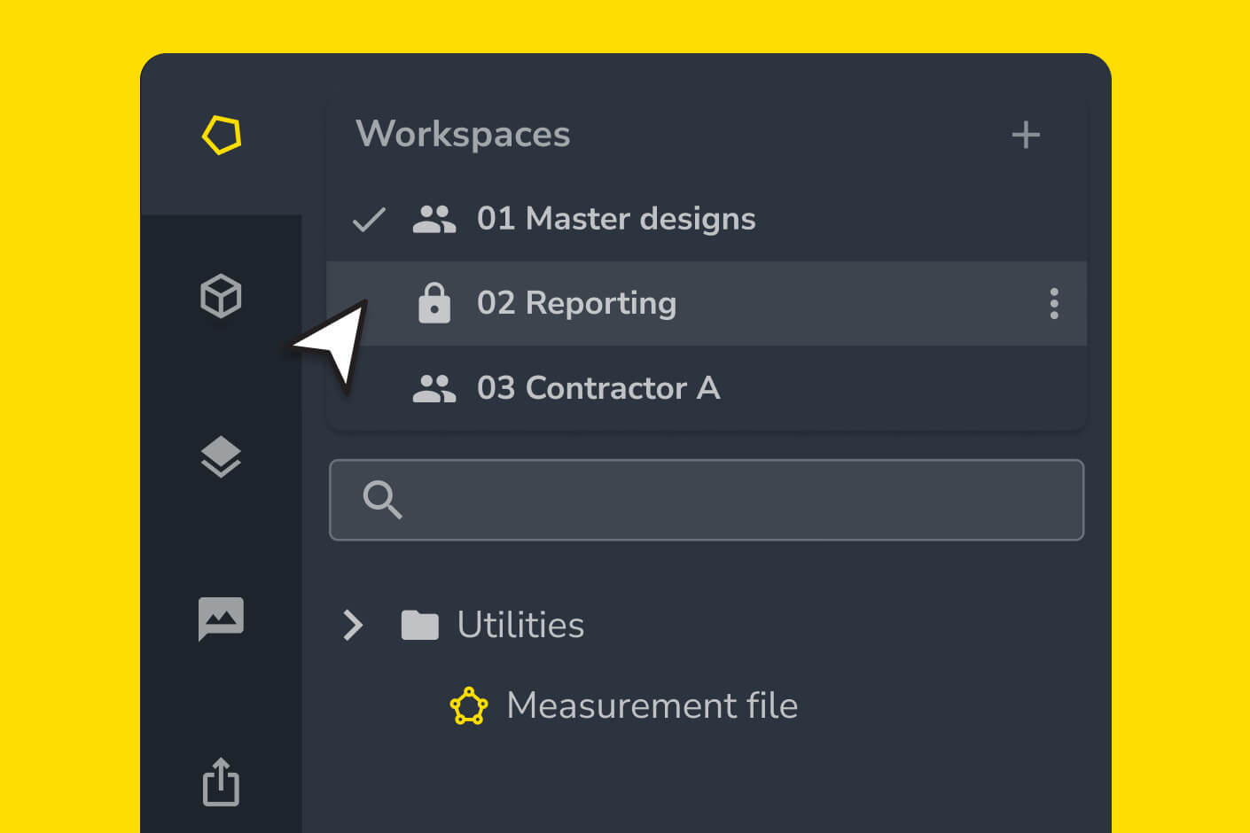
The tools that run your estimate
From the first site visit to the final invoice, Propeller gives estimators the data to price confidently, document thoroughly, and win more work at every stage.
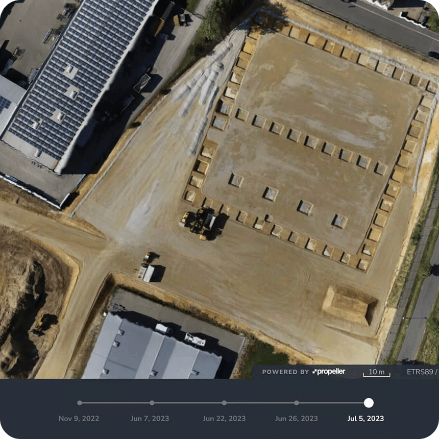
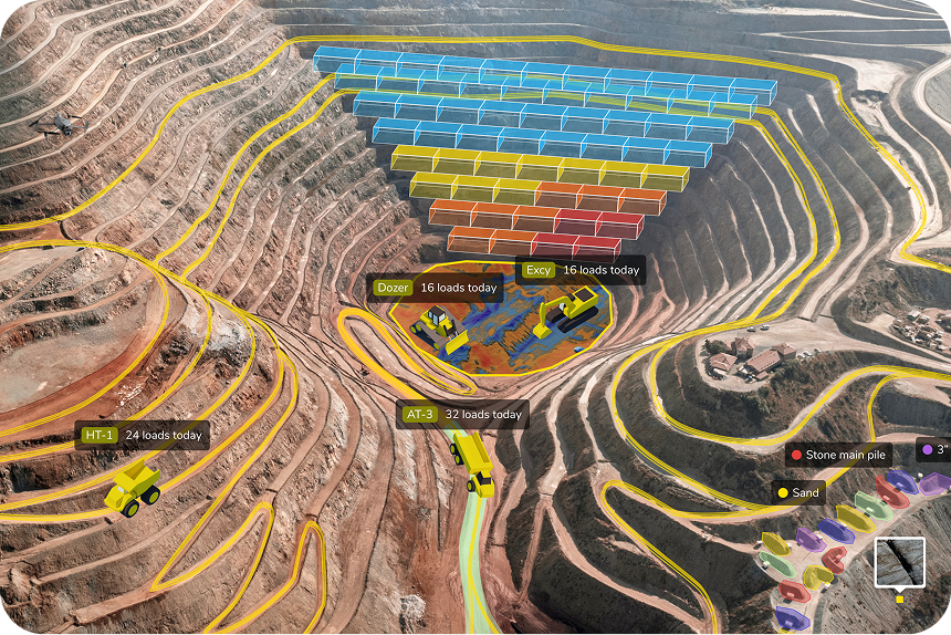
Run your earthwork quantity takeoff before you commit
Fly a prospective site and generate a complete earthwork quantity takeoff within hours — accurate cut/fill volumes, site topo, and takeoff reports ready for bid documentation.
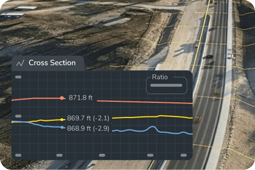
Verify actuals. Support every invoice.

Future proof your pipeline
Every project you capture becomes data for the next bid. Historical volume comparisons and production benchmarks let each estimate build on the last. Compare estimates to actuals across completed projects, build sharper future bids using real production benchmarks, and reduce bid risk on similar site types over time.
Keep every stakeholder on the same map
Built for the work you price
Civil construction
Grade, subgrade, and earthwork volumes from greenfield clearing to final subgrade verification.
Mining
Pit production, overburden removal, and blast subcontractor verification — every cubic metre documented.
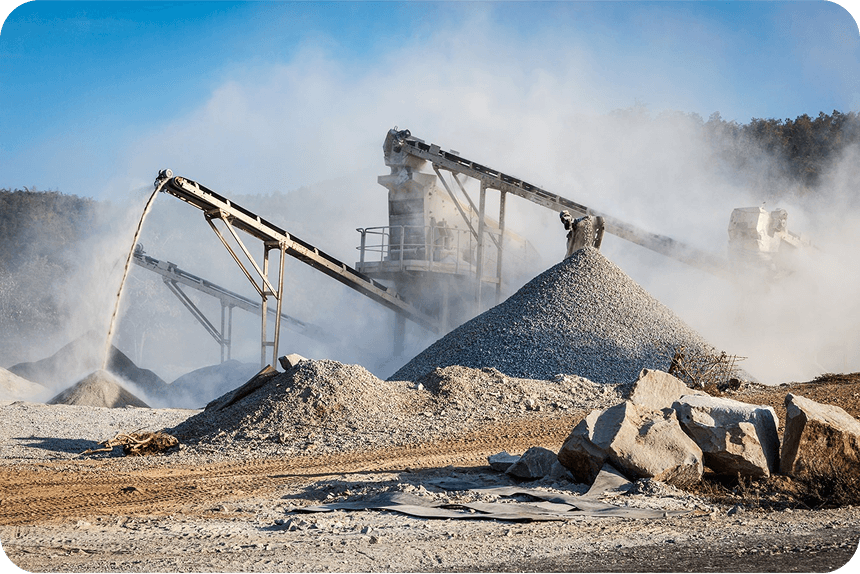
Quarry + aggregates
Stockpile inventory, intake vs. on-hand reconciliation, and pit efficiency data for accurate material pricing.
Waste management
Airspace as inventory, liner thickness, and cell development volumes — priced and verified with precision.
Transportation
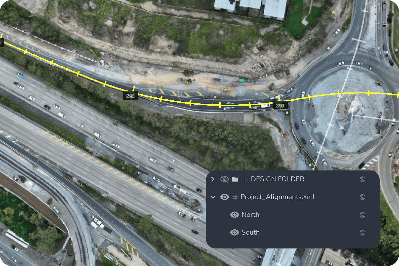
Corridor survey and linear progress data for accurate sub-verification and documentation on complex linear projects.

Surveying + engineering
Boundary and topo verification, as-built accuracy checks, and engineer-of-record documentation support.
Frequently asked questions
Fly a prospective site with a drone before quoting and Propeller processes the data into a high-precision 3D map with accurate volume calculations. You can verify bid quantities, measure cut/fill, and identify site conditions before you commit to a price.
Yes. Every survey capture in Propeller is timestamped and georeferenced, giving you a clear record of site conditions at any point in the project. Use it to verify subcontractor billing, document scope changes, and work through adjustments with data rather than estimates.
After flying a site with an integrated drone and AeroPoints, surveys are typically processed within hours. Results are available directly in the platform as a 3D map, with volume calculations and reports ready to export.
Propeller is used across civil construction, mining, aggregates, waste management, and transportation. If you’re moving earth and pricing it, Propeller gives you the data to do it accurately.
Yes. Propeller exports to standard formats compatible with CAD and GIS platforms, and integrates with tools including Trimble Connect, Autodesk BIM 360, and HCSS. Your data flows where you need it.