Know your aggregates inventory. Plan your next move.
From pit to stockpile, bring your team together on one shared map. Measure material volumes, compare surveys, and explore preliminary earthworks options using your latest site data.













Gain efficiency and stay ahead with real-time site data

Know what’s on hand
Measure stockpile volumes and compare inventory across surveys. Give planning and material-management conversations a consistent, measured baseline.

Review changing site conditions
Inspect your site map, review slopes and elevations, and share observations so teams can identify areas that need closer attention.

Explore your next site layout
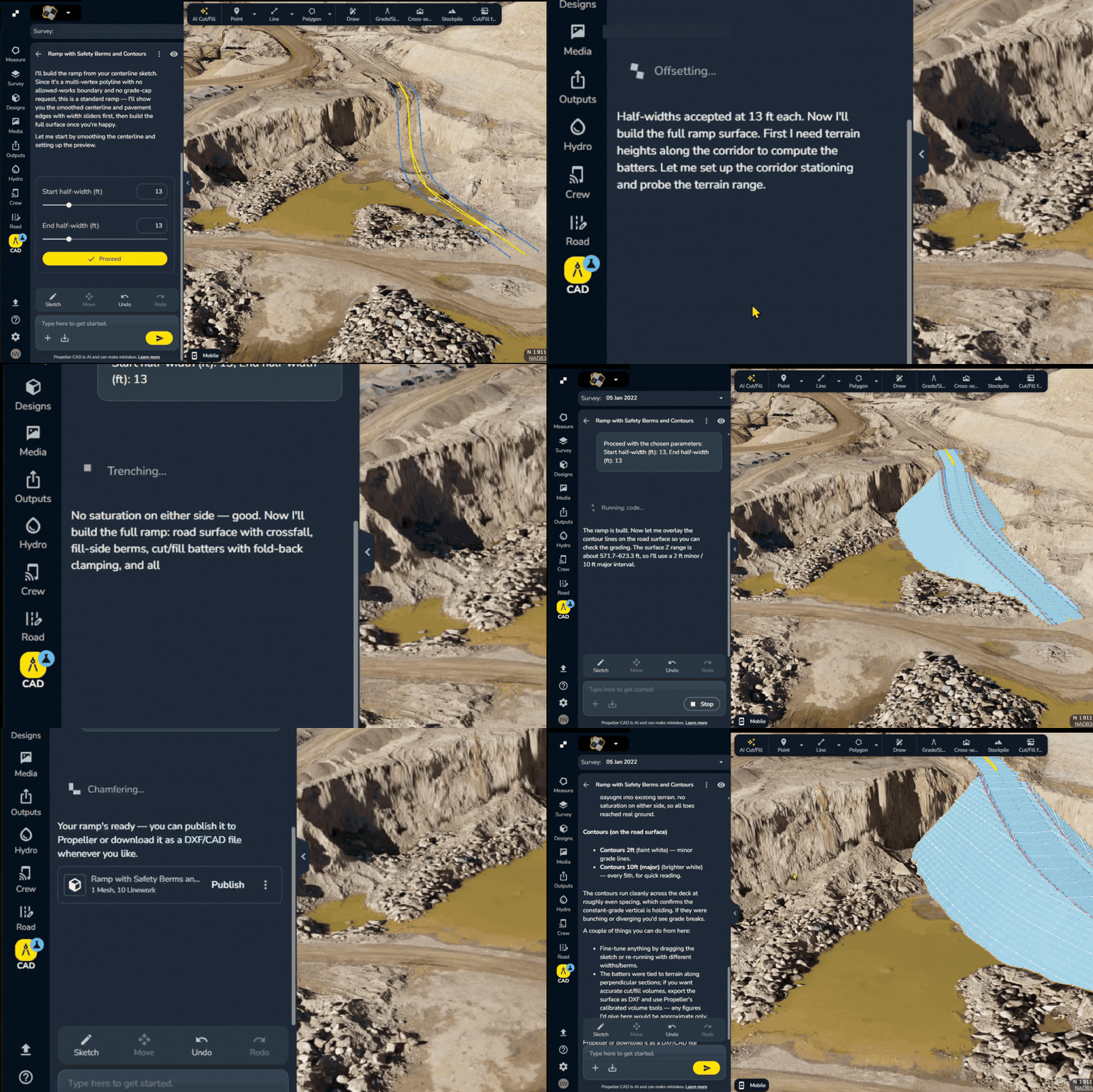
Use Propeller CAD to create preliminary road, ramp, and pad concepts on real survey terrain, ready for engineering review.

Collaborative field communication
In an environment where roles often overlap, staying connected is crucial. Propeller’s field collaboration tools foster better communication and alignment among all on-site teams while keeping construction aggregates operations organized.

Blasting operations made safer and smarter
Measure blast volumes, inspect fragmentation zones, and visualize bench elevations without putting boots near the blast zone. Propeller helps your team stay informed and out of harm’s way while tracking construction aggregates safely.

Keep a clear environmental record
Use timestamped surveys and site imagery to document protected areas, rehabilitation progress, and post-rainfall conditions for environmental review.
A shared view for quarry planning and inventory
Bring surveys, stockpile measurements, and site history together so teams can plan from the same information.


“We’re managing all our site data on Propeller. It’s definitely become the hub of our survey and mine planning operations.”
– TJ Greene, Mine Engineer at York Building Products
Follow the work, phase by phase
See how Propeller supports your team from pit establishment through compliance, with the right data at every step.

Know the pit before you dig
Capture your baseline, then explore road, ramp, and pad concepts with Propeller CAD.

Track inventory
Measure stockpile volumes from each survey and compare captures to understand changes in on-hand material.

Measure blasts safely
Compare before and after surveys to confirm tonnage recovered and plan your next cycle fast.
Reconcile inventory
Compare measured inventory changes with your sales and production records to investigate discrepancies.

Stay compliant and covered
Document permits and royalty volumes with timestamped data that’s audit-ready and dispute-proof.
Run leaner, smarter, and with less guesswork
Volume calculations
Get fast, reliable stockpile volumes and precise construction aggregates measurement to plan better, load smarter, and eliminate rework. Manage all your stockpiles effectively while keeping a single source of site data.
Site checks
Stay on top of site conditions and production monitoring. Run quick visual inspections and keep stakeholders in the loop with the latest updates from your digital twin.


Share clear inventory and progress reports
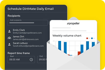
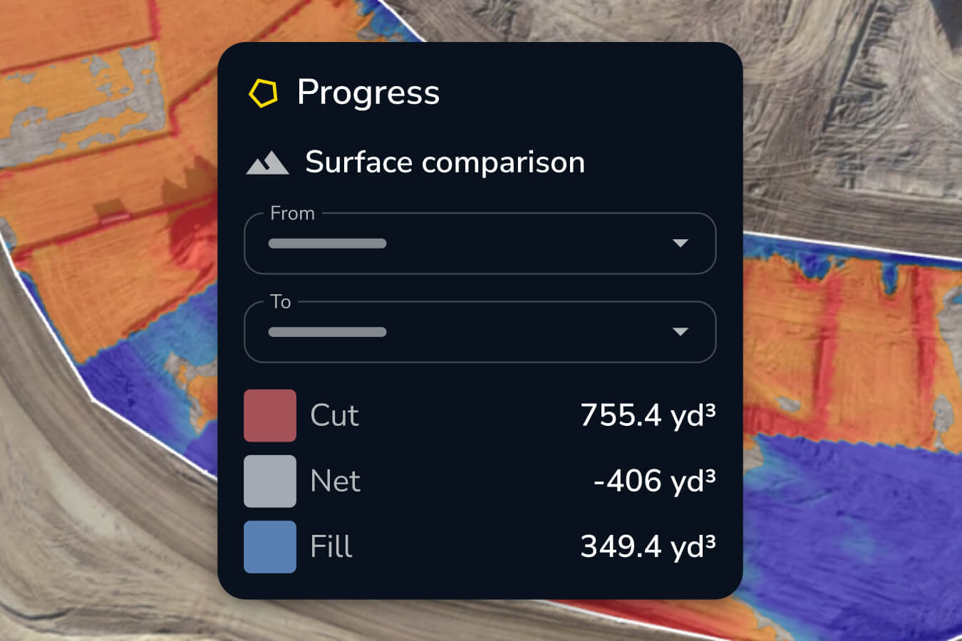
Turn survey measurements into reports your team can use. Share stockpile quantities, surface comparisons, and visual updates to support planning and reconciliation.
Data management
Centralize everything from haul road measurements to stockpile history in one platform. Give your team access to the site data they need for precise construction aggregates measurement and reporting, when they need it.


Field collaboration
Work like you’re all on the same page, because you are. Bring teams together with shared visuals, comments, and live site context for quarry operations.







Plan roads, ramps, and stockpile areas on real terrain
Use Propeller CAD to turn your quarry survey into preliminary earthworks concepts. Describe an access road, ramp, or pad, then refine the layout and elevations to explore how it fits your site.
- Explore access options: Create preliminary road and ramp concepts as working areas change.
- Plan working areas: Test pad and laydown-area concepts on current survey terrain.
- Refine before detailed design: Adjust constraints and share concepts for qualified review before field use.
Frequently asked questions
No. With AeroPoints and DirtMate, your team can capture accurate site data without needing traditional surveying experience.
Yes. Propeller automatically detects and measures stockpiles, even when they overlap or vary in material. You can filter by material type and generate precise reports.
Fly your site in the morning and receive your 3D model within hours. You’ll have fresh insights before the end of the day.
Yes. You can use APIs or direct integrations to connect Propeller with your current reporting tools, ERPs, or planning platforms.
Use Propeller CAD to explore preliminary access roads, ramps, and pads on your survey terrain. Refine concepts to support site-planning conversations, then have a qualified person review them before field use. CAD complements stockpile measurement and specialist engineering—it doesn’t replace either.