Civil construction and earthwork projects move fast—too fast for surveying to keep up with all the changes in terrain. Ground-based surveys with a base and rover or total station happen too infrequently to track progress, and even monthly drone flights leave gaps in the data.
That’s where DirtMate’s machine mapping comes in.
What is machine mapping?
Machine mapping is the process of continuously updating your 3D site surface with elevation data captured directly from the earthmoving machines you already use—without an extra survey step.
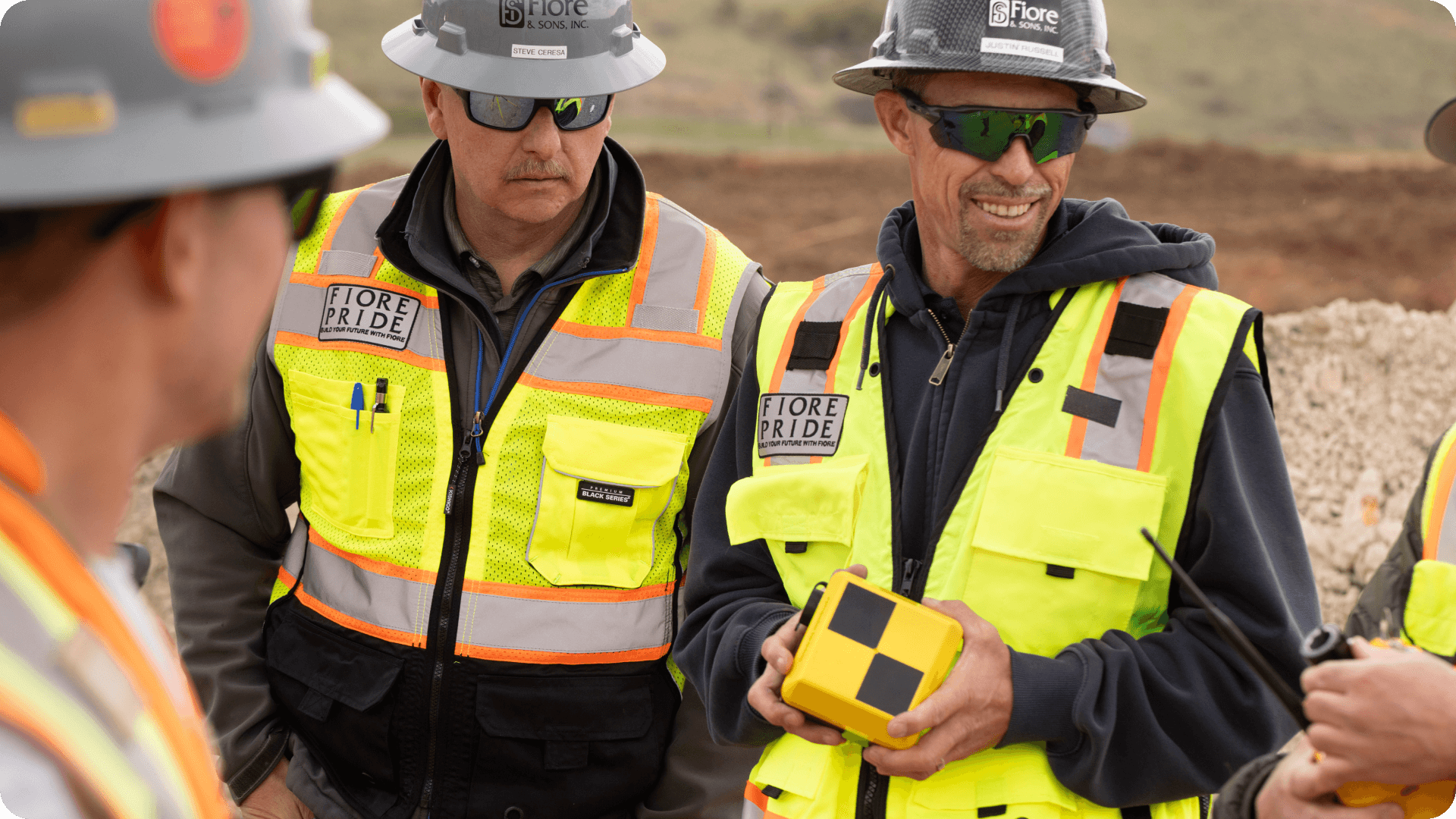
By attaching a DirtMate device to your existing equipment, you can collect surface data while you work, updating elevations to inform your map every 30 minutes. Machine mapping delivers near-real-time insights into site progress, material movement, and project efficiency without disrupting your existing workflows or adding extra steps.
How it works: Turning machines into automated survey equipment
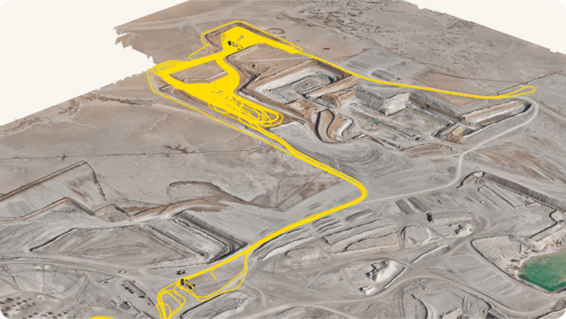
DirtMate uses Post-processed kinematic (PPK) technology, the same high-accuracy method we recommend for drone surveys. But instead of requiring manual data uploads, DirtMate uses its onboard LTE connection to push surface updates to Propeller automatically.

Every 30 minutes, DirtMate modifies your Digital elevation model (DEM), keeping it accurate within 2/10ft without any manual effort. This lets you track exactly how much material has been moved every hour and every day.
Unlike traditional methods, which require manpower, scheduling, and dedicated labor, DirtMate works continuously in the background while your field crews do their job. Continuous updates track on-site progress as it happens, so you don’t wait weeks for a survey to reveal potential problems.

Reducing operating costs with machine tracking
Collecting data is one thing. Using it to prevent delays, control costs, and improve operational efficiency is another. DirtMate’s machine mapping delivers the insights you need to make proactive decisions and nip problems in the bud.

Catch mistakes before they snowball
Instead of waiting for a monthly ground survey or drone flight to reveal a grading issue, DirtMate flags discrepancies within hours. With this kind of data at your fingertips, you can make changes and get back on track before small mistakes turn into expensive rework.
Accurate material tracking
How much material did your field crews move today? How about this week? DirtMate eliminates the guesswork. Monitor volume metrics daily to keep on track toward production targets, identify peak productivity times to optimize equipment usage, and fine-tune haul routes to move material more efficiently.
Keep subcontractors accountable
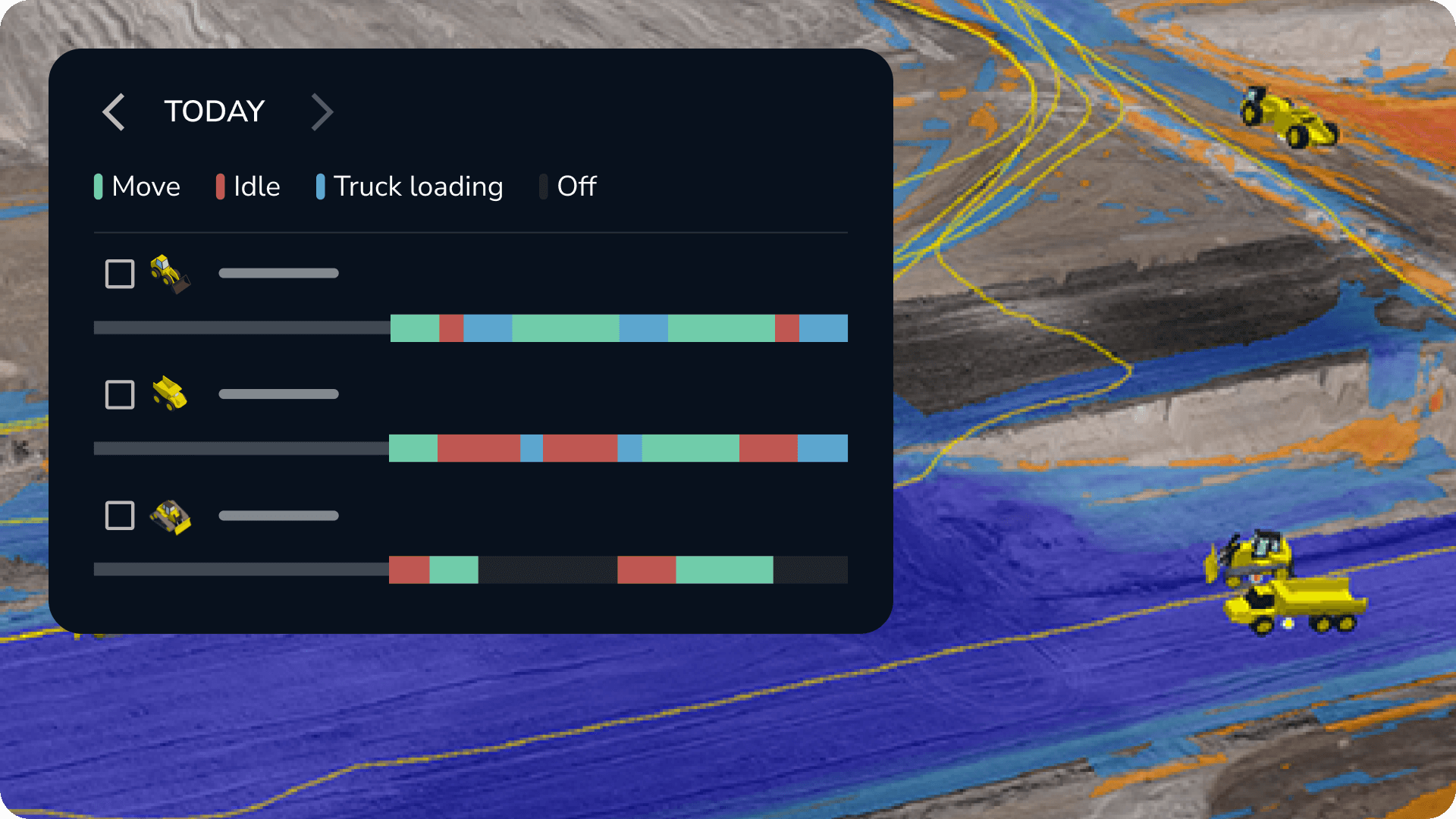
DirtMate tracks daily activity, so you always know who moved what, when, and where. Instead of relying on self-reported progress, you get concrete data that eliminates disputes and keeps subcontractors on schedule.
How teams are using machine mapping
With surface updates every 30 minutes, Kansas-based bulk earthwork contractor Dirks Enterprises can track daily production, adjust field allocation, and refine estimates with hard data. “DirtMate doesn’t require someone to sit down and round up the data; it’s always there at any time,” said Project Manager Jonathan Ensz.
At their 280-acre Kansas Dairy Development project, machine mapping helped Dirks prevent a $20,000 overage—an immediate ROI.
Lhoist’s Amargosa Valley quarry has used both machine mapping and telematics data from DirtMate to track every load, haul cycle, and minute of idle time. As a result, they’ve reduced fuel waste, optimized haul routes, and increased their operational time by 22% without adding labor hours.
Machine mapping also helped them track down the root cause of ore grade degradation in their stockpiles, revealing that operators were accidentally digging into bedding material and contaminating the clay. By closely and confidently tracking material movement, Lhoist reduced stockpile conversion loss from 15% to under 3%, preserving valuable graded ore.
Machine mapping is the future of progress tracking
Machine mapping with DirtMate is more than a big step forward—it’s a fundamental shift in how teams track earthmoving progress. By automating surface tracking and eliminating manual workflows, DirtMate gives teams the data they need to make better decisions, reduce costs, and keep projects on schedule.