RTK: high-precision positioning in real time
RTK (real-time kinematic) positioning helps field teams measure, check, and stake out work with high precision while they’re on site. Rather than relying on standalone GPS positions, an RTK rover uses corrections from a known reference source to improve its position in real time.
On construction sites, this helps crews check grade, stake out designs, and capture field measurements when the information is needed. When those measurements are connected to the site map, the office can work from the same record.
What is RTK processing?
RTK stands for real-time kinematic. It’s a method of improving GNSS positioning by applying correction data to satellite observations while a receiver is being used in the field.
A receiver at a known location, or a network of reference stations, supplies corrections. A moving receiver, called a rover, uses those corrections to calculate a more precise position. This allows teams to work with high-precision coordinates without waiting to process positioning data afterward.
Positioning and sharing are different jobs. RTK corrections help the rover determine where it is. A separate connection can share the measurements, checks, and records with an office platform. Having accurate coordinates doesn’t automatically mean the measurements are visible to the rest of the team.
Where do RTK corrections come from?
RTK needs a reliable correction source. That source can be a base station set up near the job or a service built on permanent reference stations.
A local base station
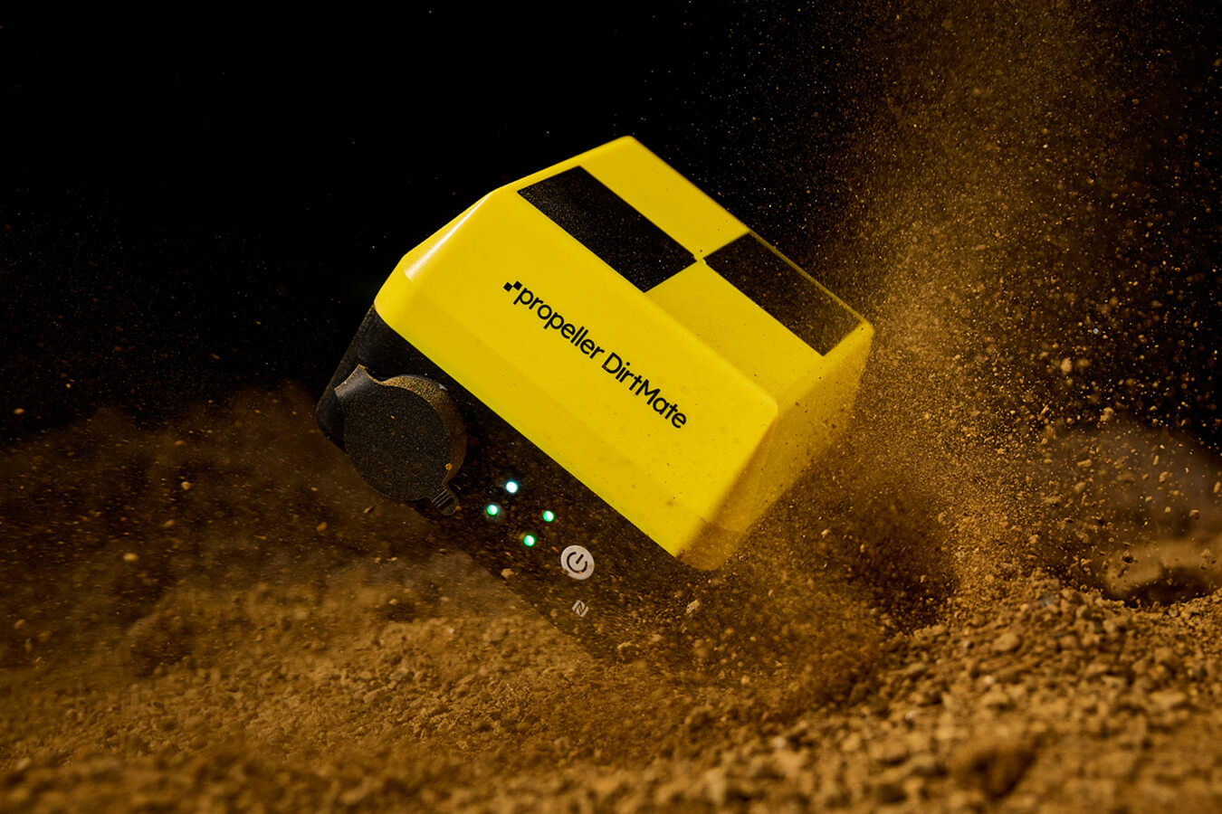
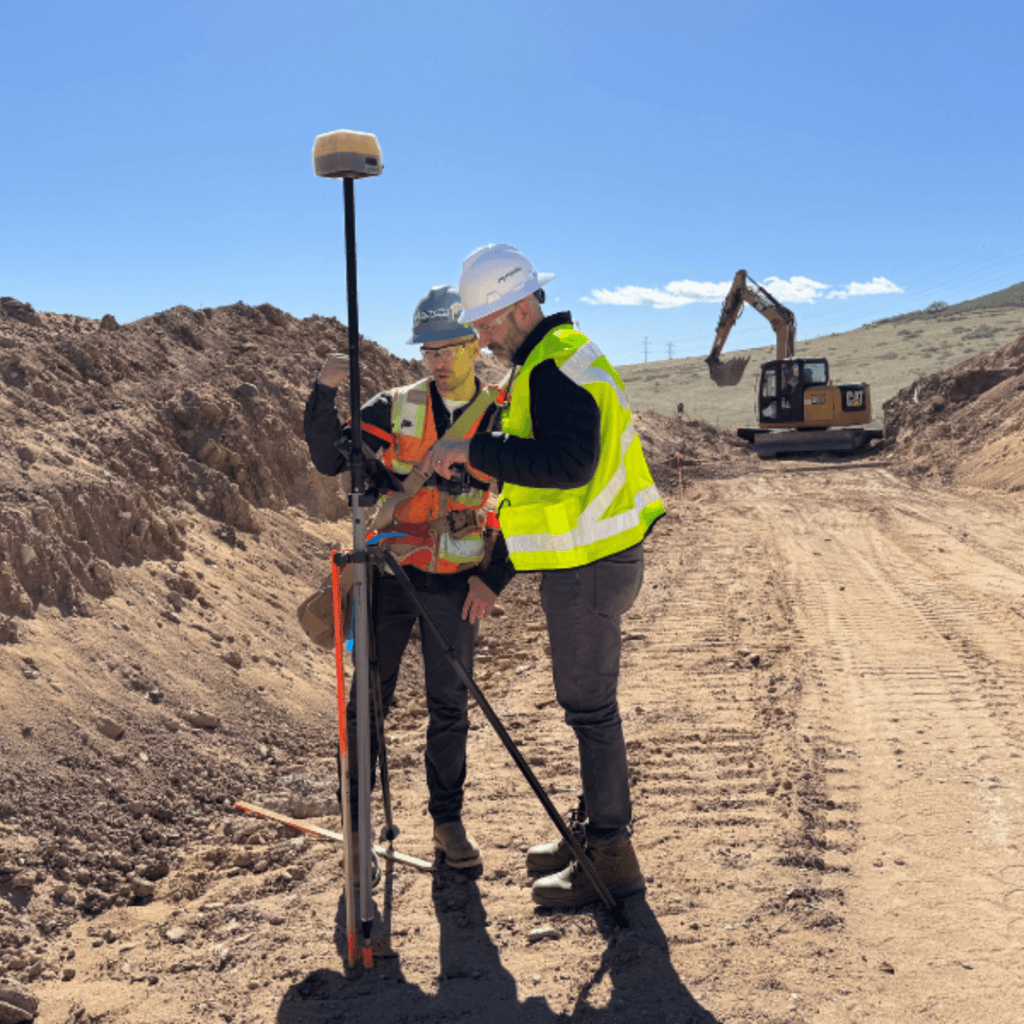
A local base station is a GNSS receiver positioned at a known location. It observes the same satellites as the rover and sends corrections to the rover over a supported connection. This setup can be useful when a project needs its own correction source rather than relying on coverage from a reference-station service.
LEARN MORE > Base station page
A reference-station service
Some teams get corrections from a network of established GNSS reference stations rather than setting up their own base for each job. You may encounter the following terms, which describe different parts of the correction workflow:
- CORS (Continuously Operating Reference Stations): Permanent GNSS reference stations whose observations can support correction services.
- VRS (Virtual Reference Station): A network RTK technique that uses observations from multiple reference stations to generate correction data tailored to a rover’s approximate location.
- NTRIP: A standard way to stream GNSS correction data to a receiver over the internet. It can deliver corrections from a single base station or a network service.
The right option depends on available coverage, site conditions, equipment compatibility, and how your crew needs to work.
What does RTK need to work reliably?
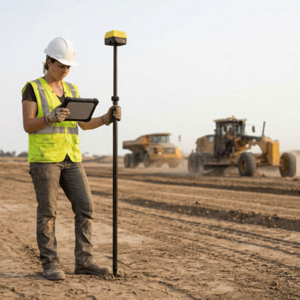
A precise result depends on more than owning an RTK receiver. Before relying on a position, teams should check:
- A clear view of the sky: Buildings, equipment, terrain, and other obstructions can limit satellite visibility.
- A stable correction source: The rover needs compatible corrections from its local base or reference-station service.
- A dependable correction link: Radio or internet coverage must be adequate for the correction data to reach the rover.
- Suitable site conditions: Reflections and interference can reduce the reliability of satellite measurements.
- The right coordinate system: Field positions must align with the coordinates and elevation references used by the project.
- Position-quality checks: Crews should confirm the receiver’s reported status and verify important measurements before acting on them.
RTK can deliver high-precision positions, but results depend on satellite conditions, correction quality, connectivity, and the way the equipment is used.
Where RTK helps on construction sites
Check grade against a design
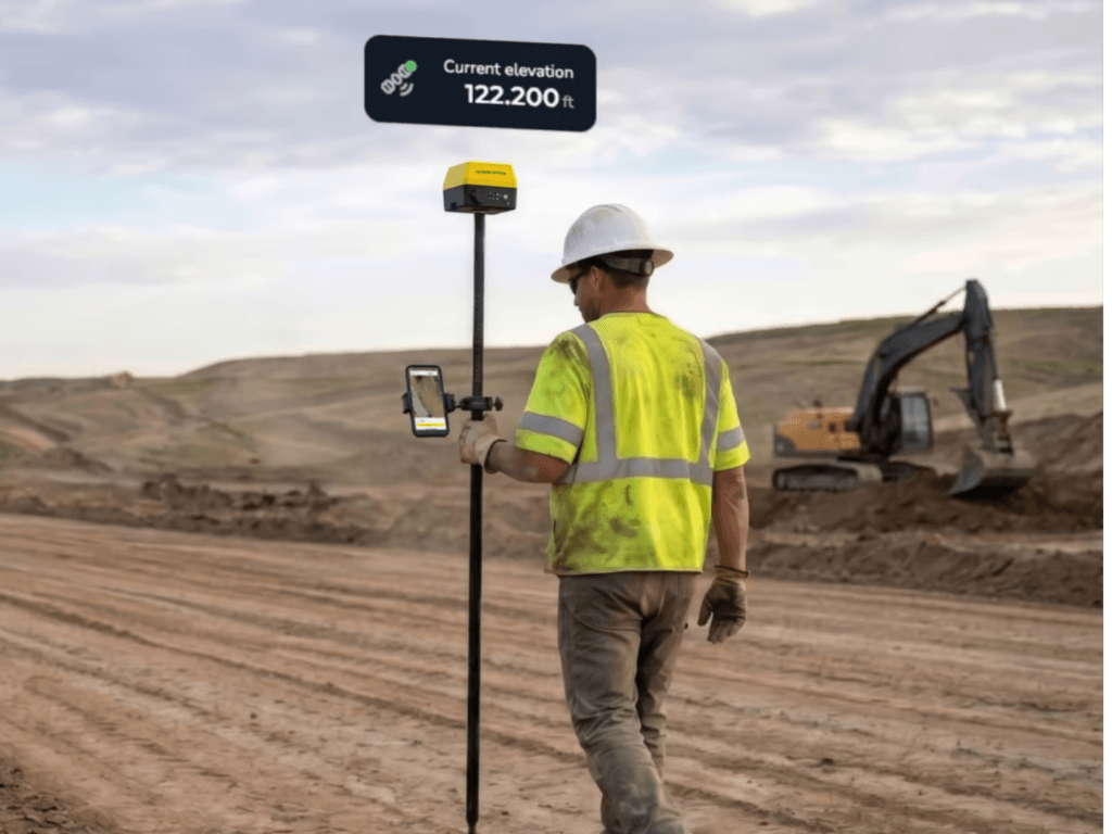
Compare a field elevation with a design surface while standing at the point you need to check. This helps field teams see whether work is above, below, or at the intended grade without having to wait for a separate survey handoff.
Stake out points and lines
Use live positioning guidance to locate planned points and positions along supported design lines in the field. Crews can work from the relevant site designs and capture points separately when a field record is needed.
Capture completed work
Record locations and elevations as work is completed, including features that may be covered or inaccessible later. Those field observations become part of the site record for review and follow-up.
Give operators rough grade guidance
Give equipment operators an accessible view of their position relative to the design surface for rough grading decisions. This supports day-to-day site work but does not replace checks required for final grade verification.
Bring field measurements and office designs together
An accurate position is useful in the moment. It becomes more useful when field and office teams can view measurements alongside the same designs, surfaces, and site information.
Office teams make the relevant designs and surfaces available in Propeller. Field crews use that site information in Propeller Mobile with DirtMate RTK to check grade, stake out supported designs, and capture points. Saved field points sync back to the same Propeller site when connected, giving the office a shared record to review.
The connected workflow:
Get corrections
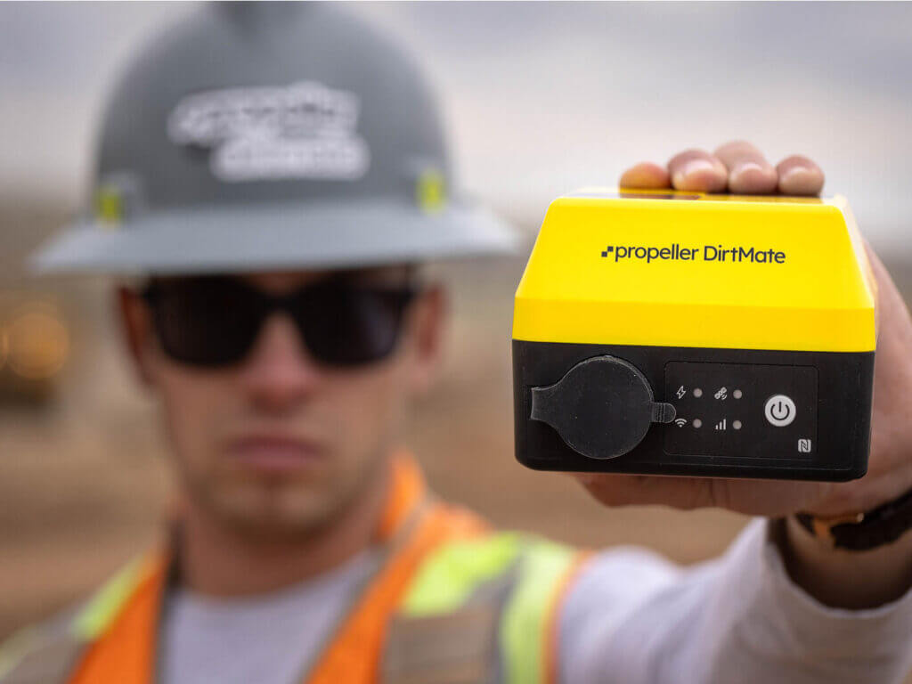
Connect to a correction source. A local base station or correction service supplies the data that helps the DirtMate rover determine a high-precision position.
Position in the field
Use DirtMate RTK. The rover applies corrections while the crew works, providing positioning for grade checks, stakeout, and point capture.
Capture the measurement
Work in Propeller Mobile.Crews use the relevant site design or surface to guide their work and capture points when they need a saved field measurement.
Sync saved measurements when connected
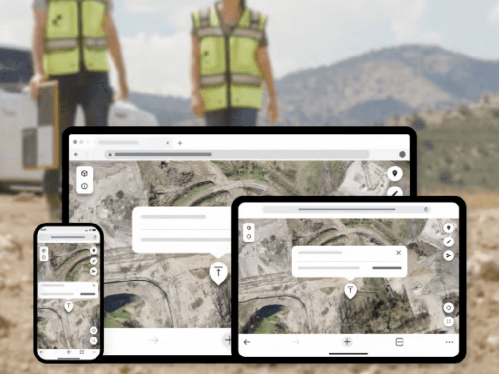
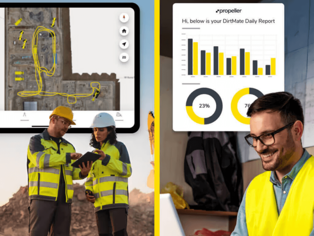
Share the field record in Propeller.Saved points sync to the site when connected, so office and field teams can review them alongside the site map, designs, and survey surfaces.
RTK or PPK?
RTK and PPK both improve GNSS positioning using correction information, but they apply those corrections at different points in the workflow. RTK processes corrections while measurements are being taken, making it useful when a person needs an accurate position or guidance immediately.
PPK (post-processed kinematic) applies corrections after data has been collected. It is commonly used in drone mapping workflows where images and position observations are processed together after a flight.
Put field measurements in the same context as the plan
Connect high-precision field positioning with the designs, surfaces, and site records your team already uses. See how DirtMate RTK and Propeller help field and office teams work from the same information.
Frequently asked questions
GPS is one of the satellite systems used to determine a receiver’s position. RTK is a positioning technique that combines satellite observations with correction data from a reference station or network. A compatible RTK receiver uses both to calculate a high-precision position in real time.
RTK can provide centimeter-level positioning under suitable conditions. Results depend on satellite visibility, the correction source, equipment, and setup. Before comparing measurements with a design, confirm that they use the same horizontal and vertical site reference. Check a known point before relying on the results.
You need a correction source, but it does not have to be a base station on your site. Depending on your equipment and location, you may be able to use a reference-station service instead. Confirm service coverage, compatibility, subscription requirements, and the connection needed to receive corrections.
It depends on how corrections reach the receiver. NTRIP delivers corrections over the internet, while some local-base setups use radio. Sharing captured measurements with the office is a separate connection: a working RTK correction link does not automatically make those measurements available on the office map.
Positioning quality can change when corrections or satellite reception are interrupted. Check the receiver’s positioning status and follow the equipment’s quality checks before continuing work that depends on high precision. Do not assume that the previous level of accuracy still applies.
With a DirtMate RTK subscription, crews use DirtMate positioning in Propeller Mobile for supported grade checks, stakeout, and point capture. Saved field points sync to the Propeller site when connected, where teams can review them alongside designs and survey surfaces.
No. DirtMate’s machine operator view provides an indicator for rough grade guidance. It is not precision machine control and does not replace the checks needed to verify finished grade.