Combine your drone and ground surveys in Propeller
If you’ve ever found yourself waiting (im)patiently for volume reports, or trying to piece together…
Hit targets, pivot fast. Report on completed work, calculate what’s left, and keep everyone on the same page about how you’re tracking against your project plans.

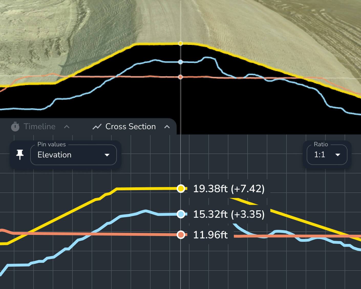
The Propeller map offers indisputable proof. With all your site docs in one place, you’ll maintain a reliable site record to validate progress and quickly resolve discrepancies.
Use Propeller to see exactly where production stands against your plan, identify slowdowns instantly, and to take immediate action to optimize your workflow.

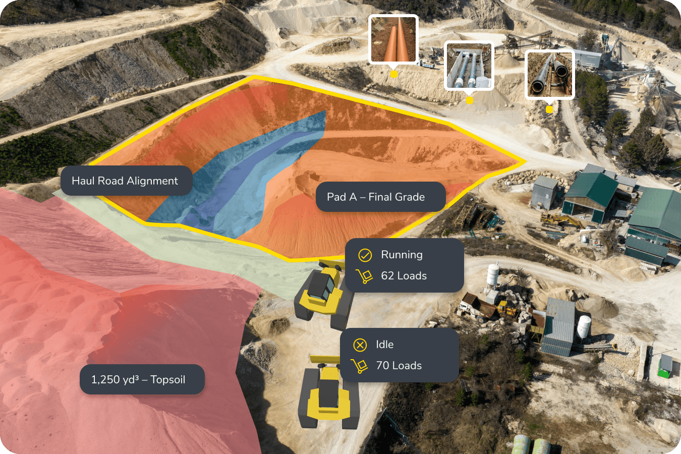
Speak the same visual language. Propeller connects surveys, designs, and machine telematics using a live map that everyone can follow – from office to field.
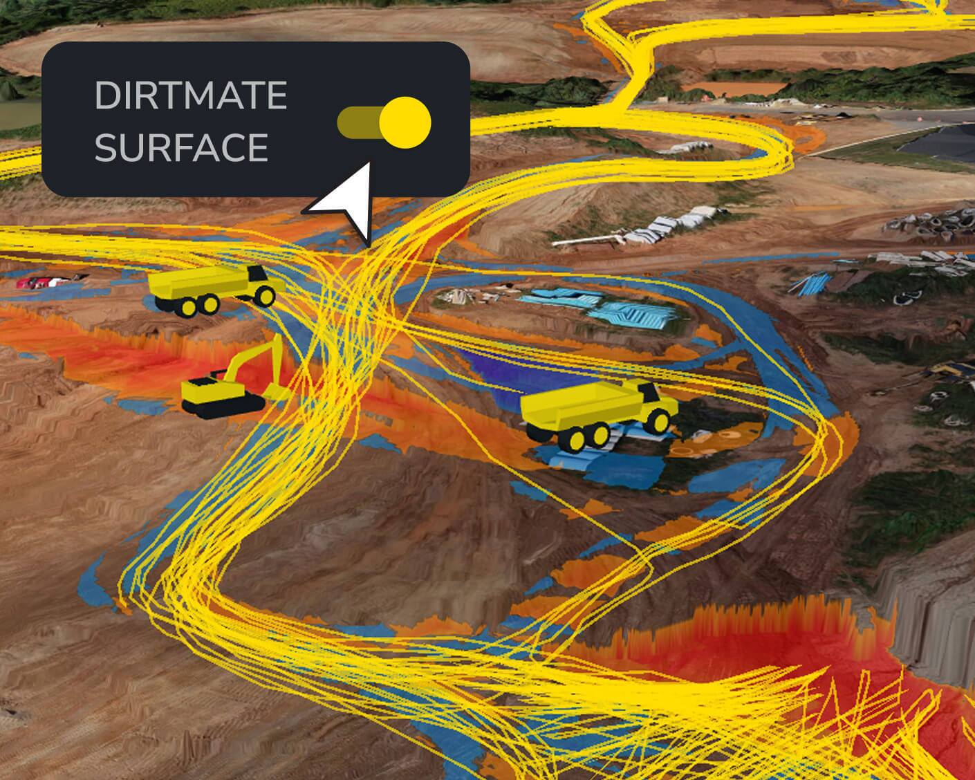
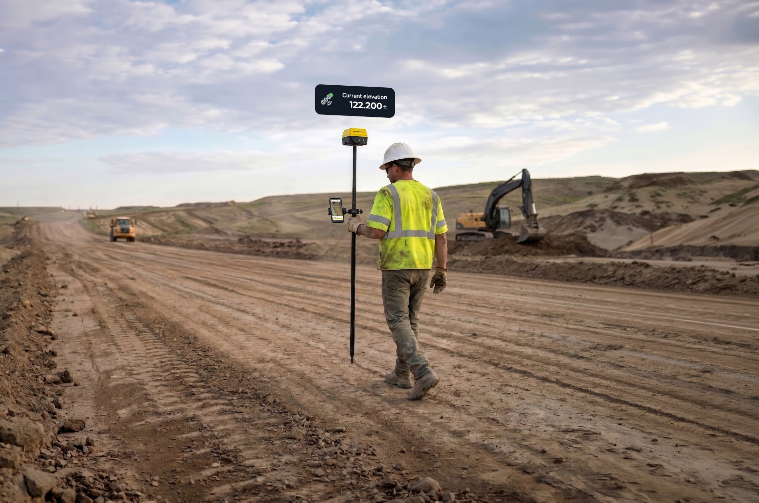
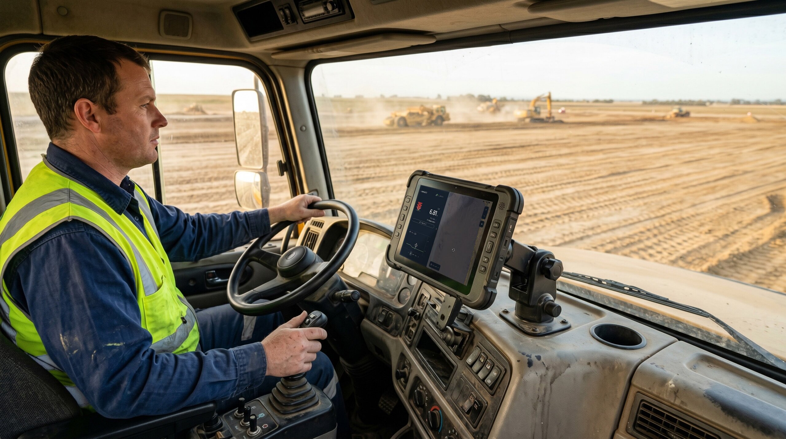
Choose a reporting frequency that works for you. Capture new surfaces periodically with survey tools like drones, add in DirtMate to stream surface data back to Propeller daily or add DirtMate RTK for real-time site data whenever you need it.
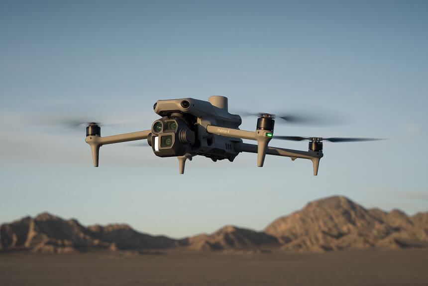
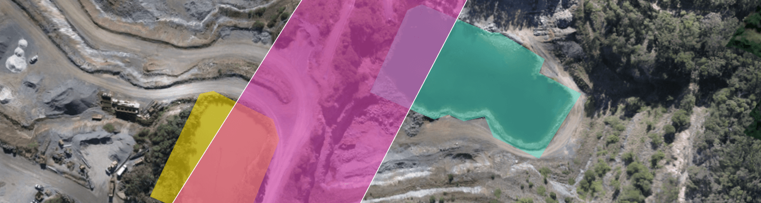
Process your drone data in Propeller or upload pre-processed data from other sources, including GPS rovers, handheld scanners, and total stations.
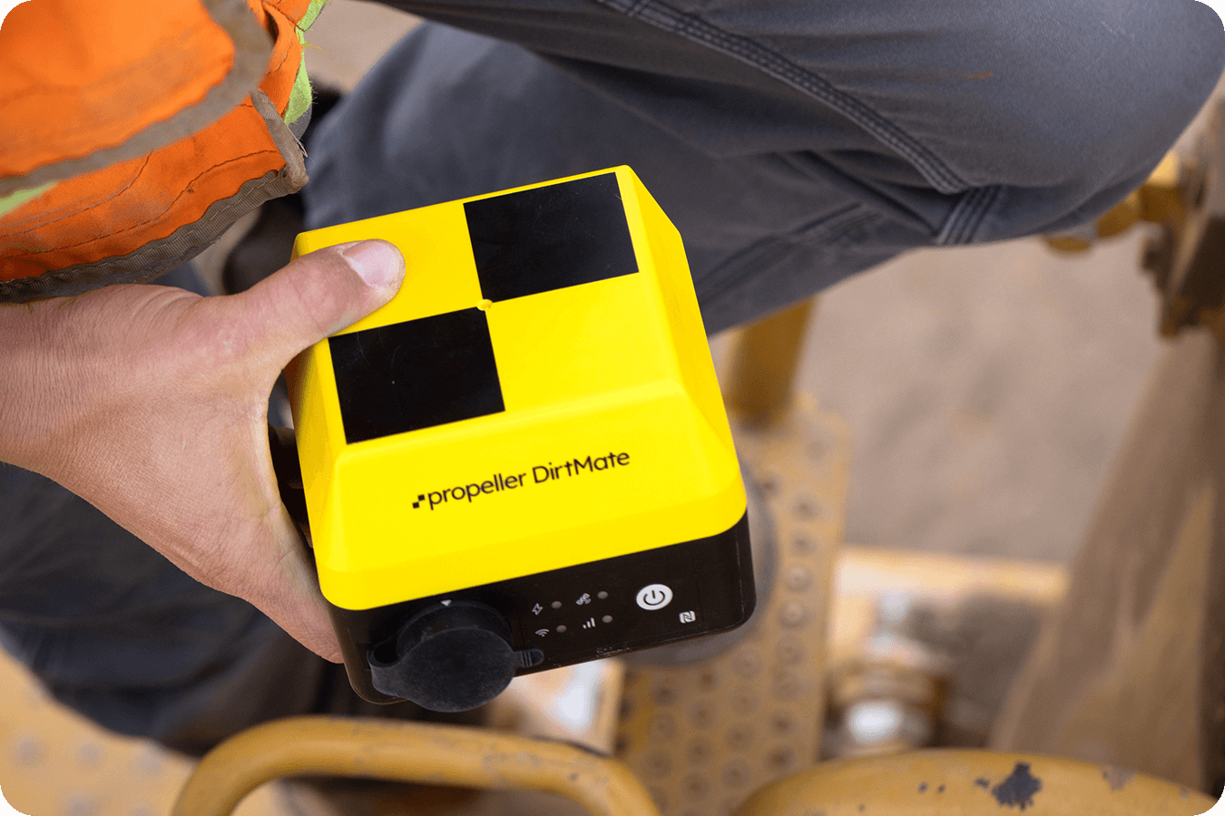
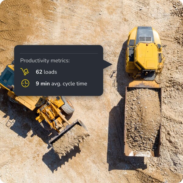
Record daily progress using DirtMate machine telematics, a continuous feed of high-precision PPK surfaces and real-time productivity metrics.

As often as needed! Many teams use weekly drone flights to check progress and identify hazards. With DirtMate, new surface data updates every 30 minutes, so you can check midday progress, get yesterday’s productivity first thing in the morning, or review multi-day trends to plan ahead.
Yes. Comparing surveys helps you spot safety risks, weather damage, or incomplete work. With DirtMate’s frequent updates, you’ll catch issues early. Whether it’s midday, end-of-day, or during regular check-ins—so you can act quickly and stay on track.
Measuring progress against your schedule helps you catch delays early. DirtMate’s real-time updates give you a clear view of what’s done and what’s next, so you can adjust resources, fix bottlenecks, and keep your project moving.
