ACCURACY WINS
MORE TRANSPARENCY
FASTER WORKFLOWS
BETTER MARGINS
BIGGER JOBS
Here’s how to make high-accuracy geospatial data your next business win.
PROPELLER PPK
ACCURACY REPORT 2024
How accurate is Propeller PPK?
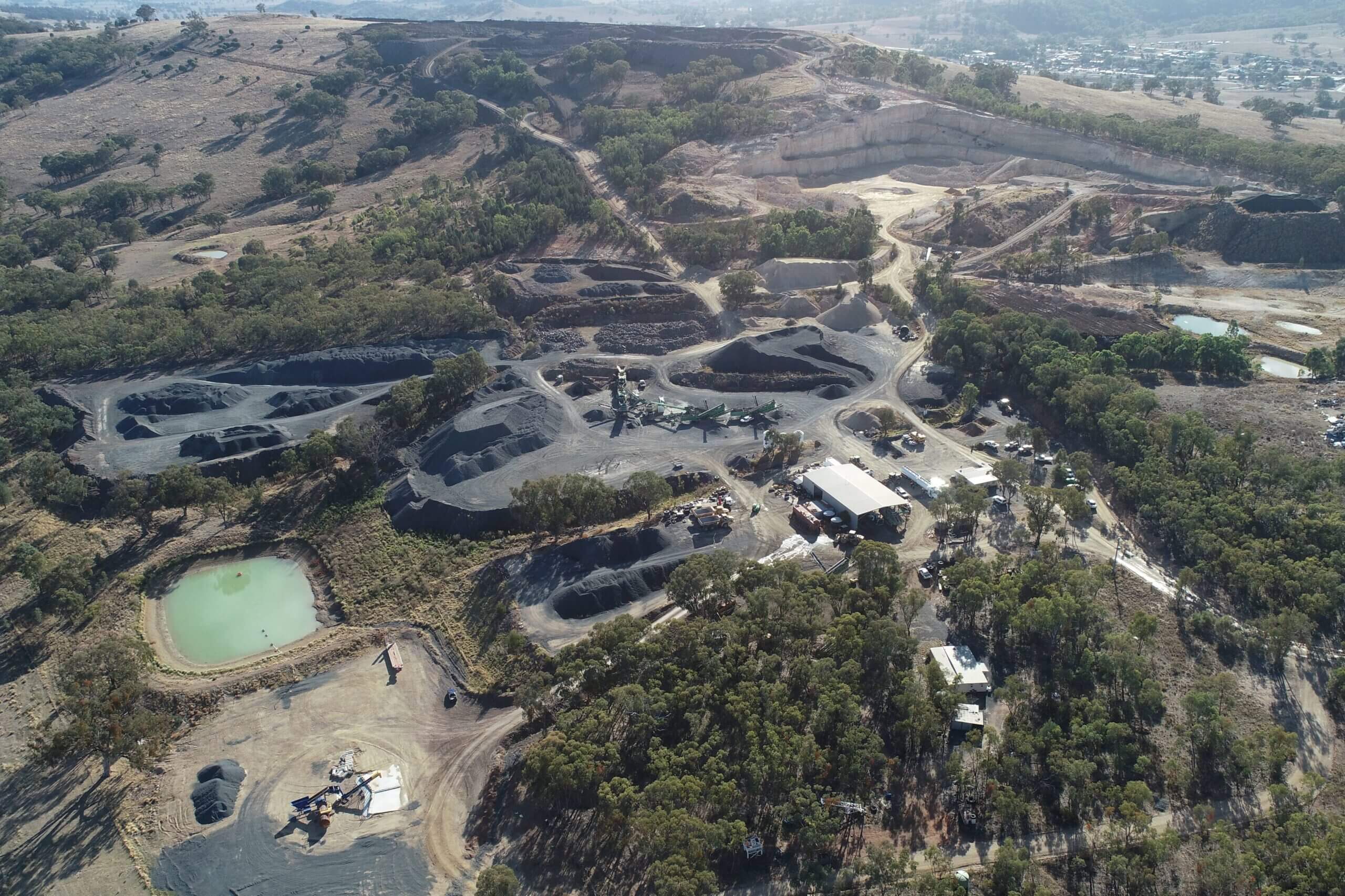
We hired a professional land surveyor to validate the accuracy of Propeller’s PPK workflows with DJI’s Mavic 3 Enterprise for photogrammetry and Matrice 350 with the Zenmuse L2 sensor for lidar. Review our methodology, results, data analysis, and more.


THE ACCURACY EFFECT
THE RIGHT DATA
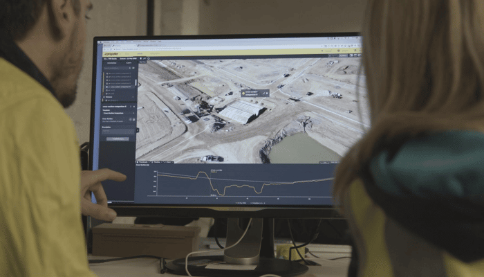
Survey-grade data is captured and processed quickly using automated, high-accuracy hardware — and all your project files are stored in a single place.
THE RIGHT PEOPLE
Your team’s collaborating from a single map where they can measure and manage progress from any device. Sharing surveys, designs, media, and machine data fluidly between different teams and stakeholders.
“It’s a much easier way to get data to all of the parties involved. From our engineering teams to our regulatory teams, to our environmental teams, to our construction teams… we have one source of data, one place to leverage all of that information, and everyone doing measurements and gathering information in one portal.”
THE RIGHT CALLS
Everyone can access the information they need to make decisions confidently. With your site on record, there’s ultimate transparency and trust.
“With [accessible survey] data, I was able to point out a 20-foot deep creek bed that was missing from the engineer’s topo. So, we were able to push that back and get the plans revised without us having to eat the cost and fix it ourselves because we caught it early enough with our data.”
“With Propeller, the level of accuracy is about plus or minus a 10th on average, depending on the height of your drone. Some job sites where we’re having to fly at lower altitudes, we’re getting well within a quarter inch, sometimes two, three hundredths.”
Justin Russell
Survey Supervisor at Fiore & Sons, Inc.

LESS MISTAKES
a win for the team


LESS WORK
A WIN FOR THE BUSINESS


LESS FUEL BURN
A WIN FOR THE PLANET

The right way hasn’t always been the easy way
But we think it should be. Propeller’s flipping the script with simple, smart survey solutions that are accurate enough for experts and easy enough for everyone else.
Here’s how we make accuracy your win
Hardware that isn’t hard

Combining our AeroPoints with a high-accuracy drone is the fastest and most accurate way to capture survey-grade data with a drone.
fast and easy drone surveying

“Thanks to drones and AeroPoints, I can now conduct surveys faster and with less complexity than ever before.”
Kris Kwiatkowski,
Geomatics Manager, Integrated Sustainability
we get geospatial

Leave the heavy lifting with our geospatial experts. Processing each dataset with the perfect blend of automated processing and 24/7 human oversight.
Earthwork
quantities on cue

Measure it all from a single map. Calculate cut-fills, cross-sections, and quantities against final designs in just a few clicks.