Propeller + Trimble
Fiore is using Trimble Stratus, powered by Propeller. Trimble, the global leader in positioning technologies, was an early partner of Propeller. With SITECH, the global distributor of Trimble solutions, we work to deliver Trimble Stratus’s survey-grade drone data capabilities to contractors of all sizes in the heavy civil industries.
Denver-based Fiore & Sons Construction is a family-owned company with over 60 years of experience as a civil contractor serving the state of Colorado. In a competitive market that’s constantly growing, they set themselves apart through their commitment to safety, quality, and accuracy.
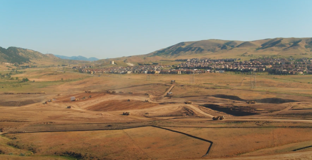
In March 2020, Fiore broke ground on a 300-acre earthwork project called “Red Rocks,” a substantial undertaking for any self-performing earthmover. Not even a global pandemic can sway their commitment to excellence; since breaking ground, they haven’t stopped work and are on track to move over 5 million cubic yards of dirt in one year.
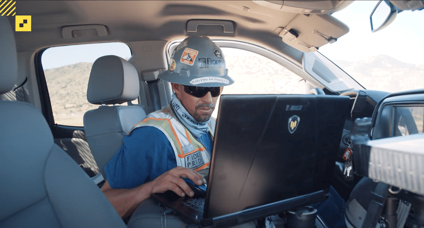
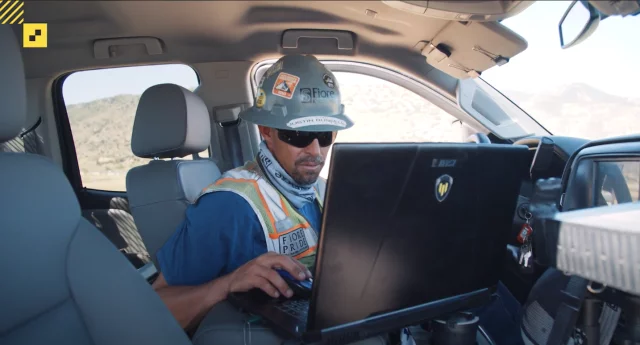
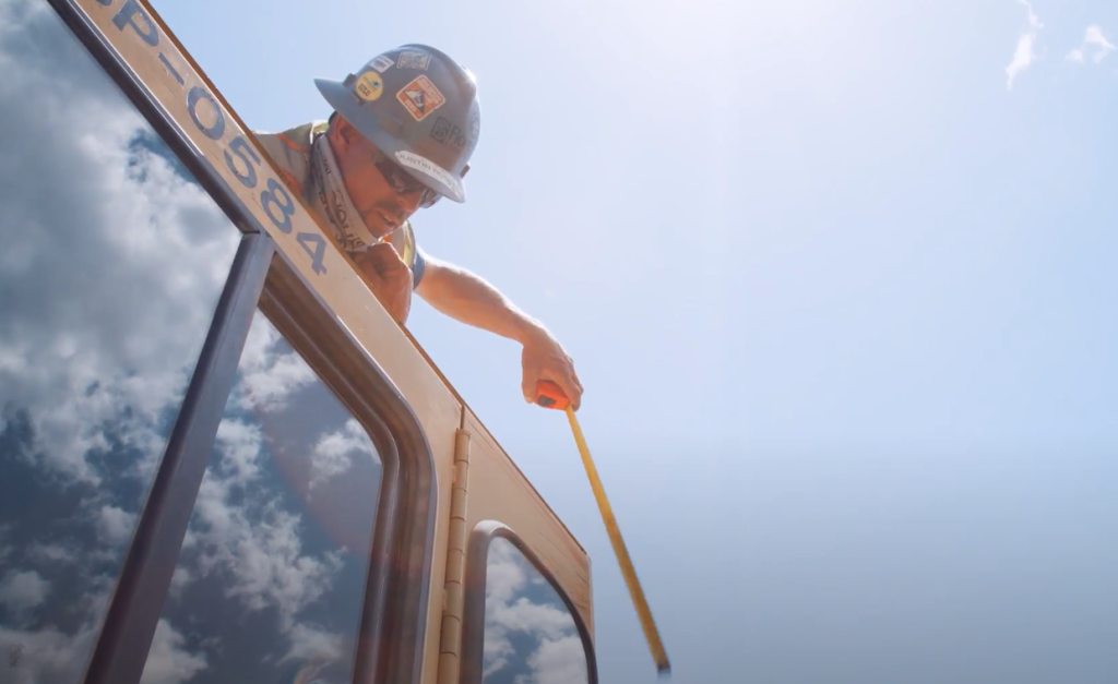
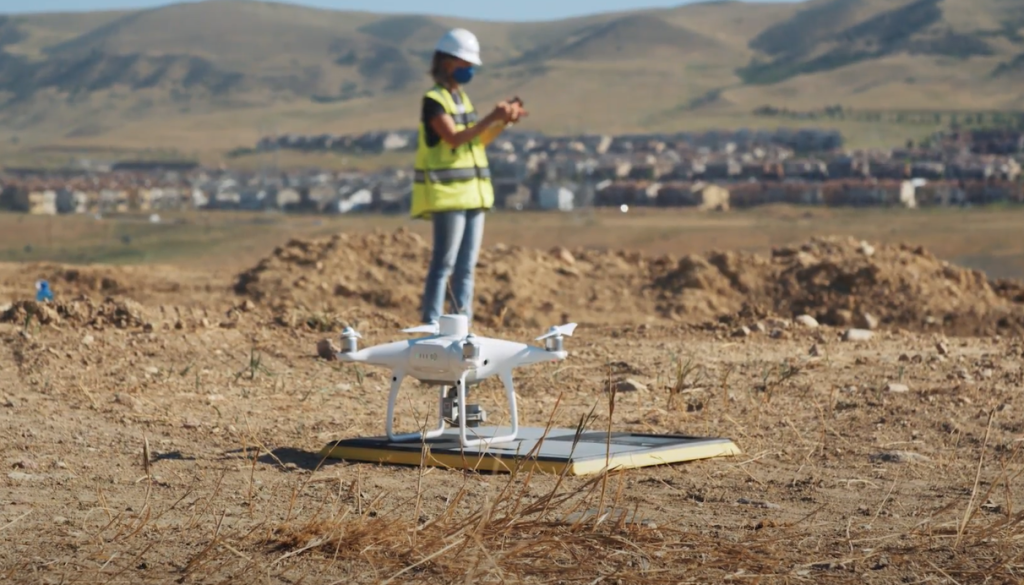
How are they doing it? A site this size would have taken days to survey manually, but Head of Survey Justin Russell has been using Propeller’s drone surveying solutions to fly the site every single week. “Accuracy is everything,” says Russell. “Most of the time, it’s way more accurate than a tenth of a foot.”
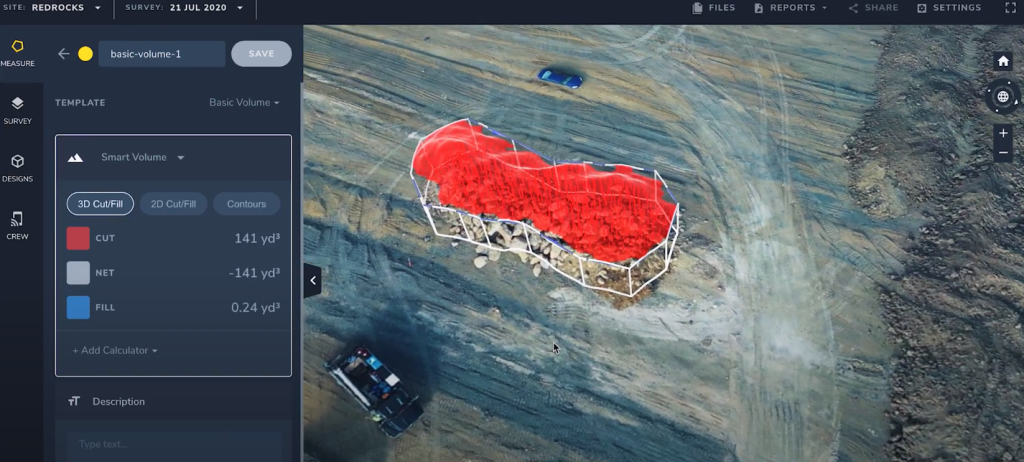
With reliable, up-to-date 3D models and material quantities available to the whole team, Fiore is able to track and share progress, catch mistakes as soon as they happen, and keep projects on time and on budget.
Watch the second episode of our Red Rocks video series below to hear how Russell uses Propeller to collect topo data quickly and accurately, without the need for hours of manual processing or field work. Better yet, he can share material quantities and progress data with project managers, foremen, and anyone else who needs it—all with the click of a button.

Pssst: If you missed it, check out part 1 of this series! (And keep an eye out for part 3, where we’ll explore why Fiore chose Propeller specifically to set themselves apart from the competition.)
Propeller makes projects like ‘Red Rocks’ possible
Fiore’s Head of Survey, Justin Russell, is no stranger to challenge. “I am 100% self-taught as a surveyor,” he says. “Read the books on my own, learned all the computer programs mostly on my own.”
Russell realized early that technology would define the future of the construction industry, so he took steps to place Fiore on the leading edge. Under his leadership, gains in efficiency from drone surveying have made a noticeable impact on profitability. It’s also made massive earthwork projects like Red Rocks a possibility.
Project Manager, Kyle Miller, can’t imagine surveying the 300-acre site without Propeller. “We definitely have too many projects currently to do it on a four-wheeler by hand,” he says, not to mention trying to manually track millions of cubic yards of dirt using manual methods.
Solidifying Fiore’s commitment to accuracy
“One of the most important things to telling the Fiore story is accuracy,” says Business Development Manager, Kathleen Huttmann-Williams. “From a Propeller side, it really just has solidified that big story.”
Powered by Propeller, Fiore has been able to collect weekly survey-grade topos, doing in a few hours what would otherwise have taken days. And in a business where accuracy is everything, providing PMs, foremen, management—and anyone else who needs it—with access to reliable, real-time data is key.
“Before Propeller, we had to do everything by hand or on an ATV,” Russell says, looking at the one million cubic yards of earth his team has moved already. “I would set up my GPS on a four-wheeler or my pickup, or even walking, and I would set it to take a shot every 15-20 feet. So basically I’m getting a measurement every 15-20 feet on the ground. Whereas, with the drone, I’m getting one about every couple of centimeters. So we’re literally covering everything when we do a topo with a drone.”
The best part? With Propeller’s PPK workflow, it’s not just the process of collecting data that’s faster. After the drone flight, it’s as easy as uploading the image data to Propeller’s platform. We handle the rest within 12 to 24 hours, so Russell can conduct more flights on other sites and spend his time where it’s most valuable—not behind a computer, processing data manually.
Accuracy, meet accessibility
“Getting going with Propeller was super easy,” says PM Kyle Miller, who had some previous experience with CAD software. “Coming from tougher software to work with, Propeller was super simple. It’s as easy as drawing a line or a boundary around something, and it’s going to give you a quantity.”
At Fiore, PMs, foremen, management and others all have access to the Propeller platform. Most have become regular users and are now using the platform to check progress and gather insights on their own, without having to go through Head Surveyor, Justin Russell.
Allowing Miller and other colleagues to self-serve has been a game-changer. With one single source of truth, Fiore can easily track how well they’re keeping on schedule and on budget.