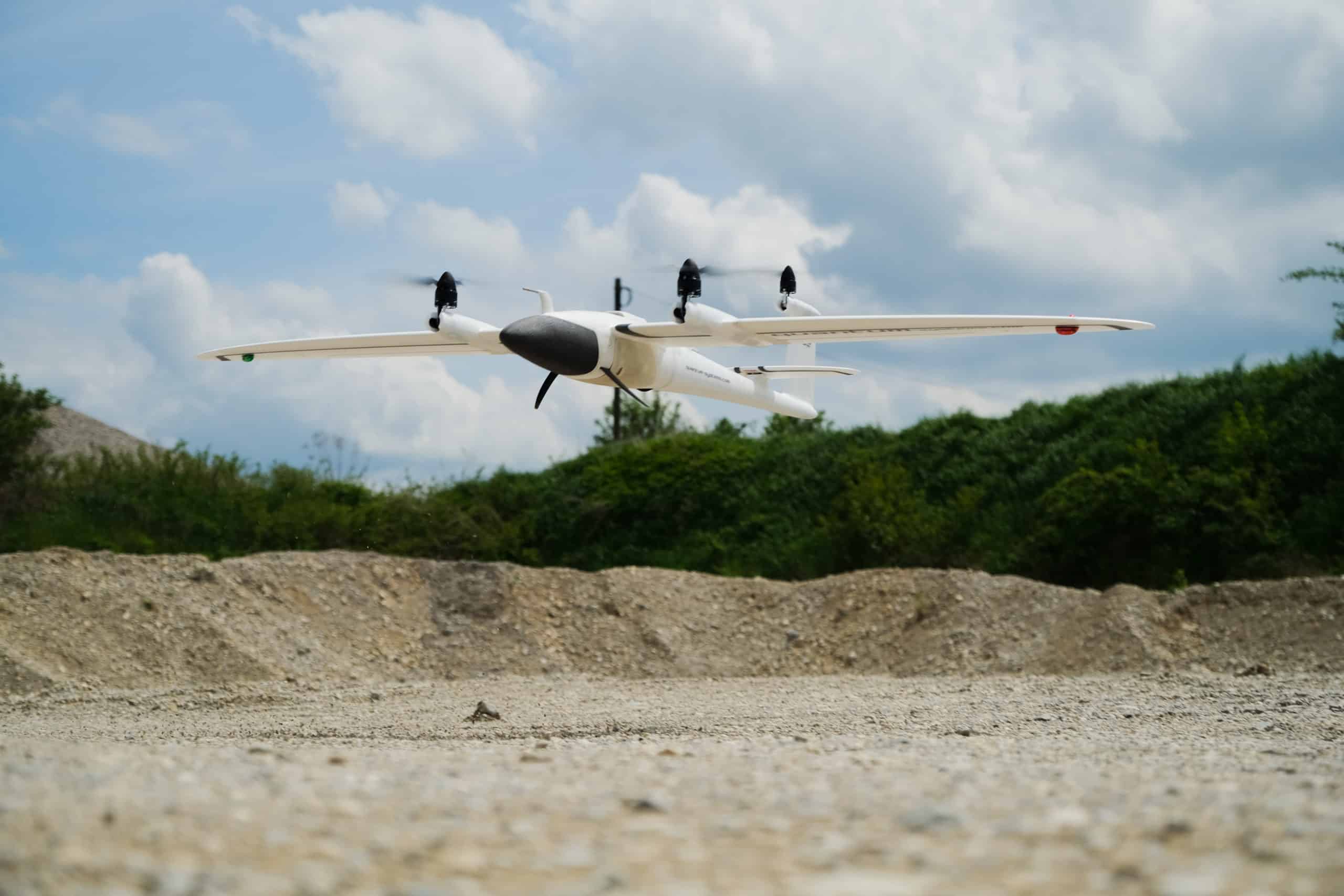
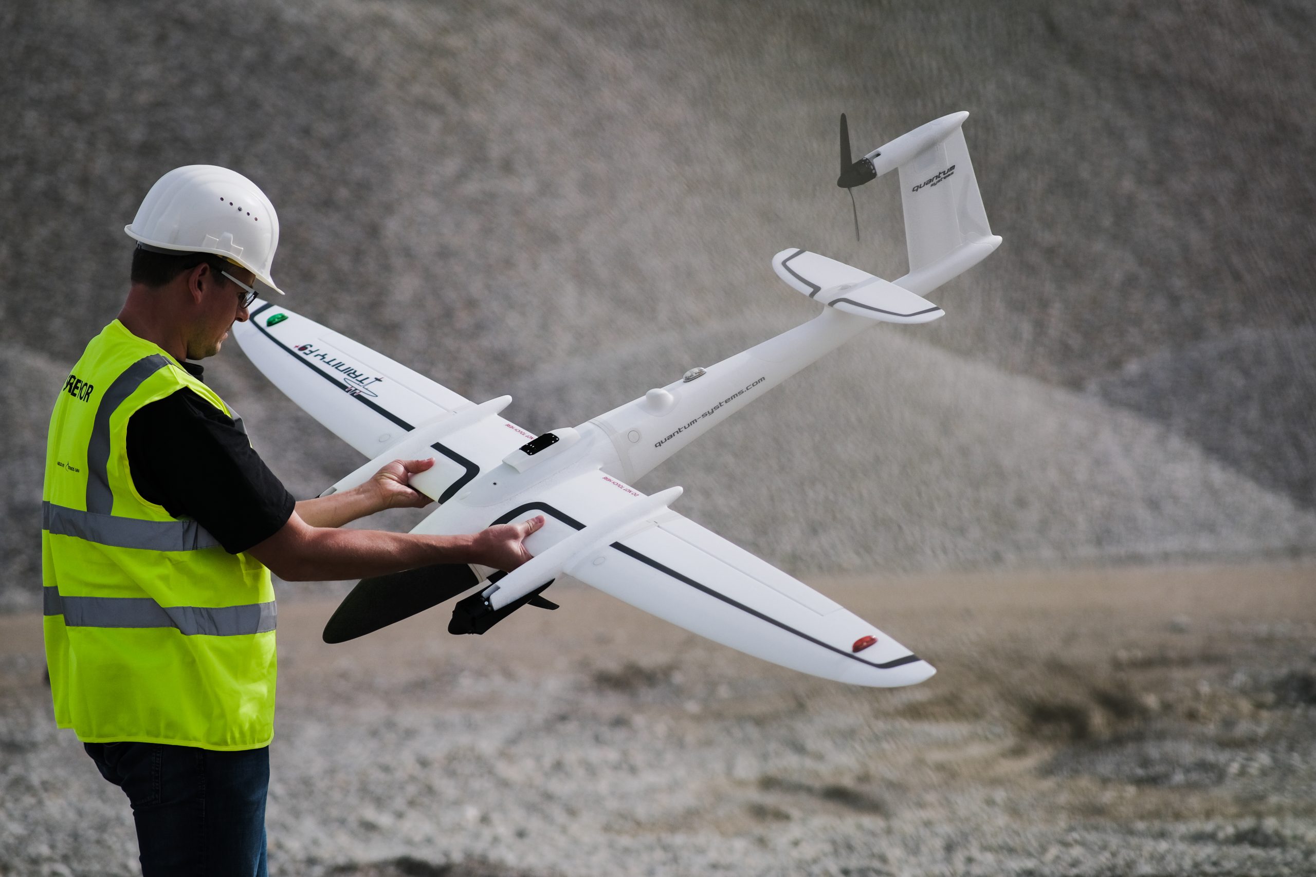
In earthworks and civil construction, it’s critical to have the right tools and solutions in place for complex project work, including the appropriate drone and drone data processing software for large topographical surveys. That’s why we’re excited to share that Quantum-Systems’ Trinity F90+ drone (Trinity F90+) is now compatible with the Propeller Platform.
The Trinity F90+ is a fixed wing drone capable of flying much longer (90 minutes) than most quadcopters with the ability to take off and land vertically. Its fixed wing design also helps tackle adverse weather conditions, like strong winds, making it a very reliable option for surveying larger worksites.
Joining the Trinity F90+ with Propeller PPK
The Propeller PPK workflow can now combine the Trinity F90+ with AeroPoints, our “smart,” high-precision ground control points, and the Propeller Platform, our cloud-based application for processing, mapping, measuring, and sharing aerial data across your construction or earthworks business. With this heavy-duty commercial drone and Propeller’s PPK workflow, survey managers and engineers can confidently map challenging sites with reliability, process their data quickly, and measure with precision.
So, if you currently fly the Trinity, you now have access to PPK correction of your drone’s GPS observations and are able to process your images to create a 3D model of your site. Simply upload your Trinity F90+ flight data into Propeller, and our team of GIS experts will review your surveys and validate your data. You’ll get more accurate data (even surveying rough terrain or in inclement weather) in less time and with fewer man hours, allowing you to build a better project strategy, address any risks or disputes, and collaborate with your team more effectively.
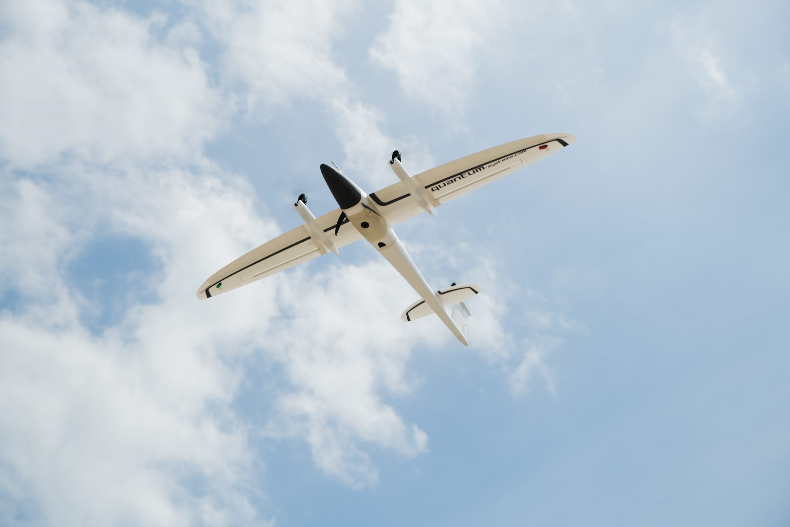
Meet the Quantum-Systems Trinity F90+
Some key features of the Trinity F90+ drone include:
-
- Electric vertical take off and landing (eVTOL)
- Up to 90 minutes of flight time (60 mins standard)
- PPK-capable with Quantum-Systems’ iBase ground reference station
- Multiple payload options, including LIDAR sensors
- Powerful motors for more reserves in all weather conditions
- Live air traffic, including QBase 3D Mission Planning