How Accurate is the new DJI Phantom 4 RTK?

Read Time: < 1 min
Quick links

    The announcement of the new DJI Phantom 4 RTK has the surveying world buzzing about the possibilities of accurate survey results, but few in-field data reports exist out there about the specific survey accuracy for the RTK setup.

    Something’s coming: Phantom 4 RTK’s impressive accuracy, but without a base station . . .

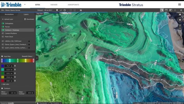
    Over the last few months, Propeller has been working with DJI to test the Phantom 4 RTK and we’ve created a unique workflow that delivers survey-grade accuracy without the use of an RTK base station.

    We’ll be making an announcement in the coming days, but in the meantime, here is an example of the impressive levels of accuracy we are seeing from our new workflow.

    Stay tuned for a formal announcement, and if you’re interested in getting more information before that, contact us now.

    Quick links

      Related articles

      Women in Construction Q&A: Morgan Corp.’s Tiffany Sullivan

      What does new technology adoption, efficiency improvements, and overall industry progress have in common? You.…

      Key factors to consider when selecting a drone for your earthworks business.

      Commercial drone use for site mapping and analytics has significantly transformed the earthworks and construction…

      How Trimble Stratus Integrates with Trimble Business Center

      Over the last three years, Propeller’s partnership with Trimble, the global leader in positioning technologies,…

      Ready to learn how Propeller can power up your worksite?

      We’re happy to show you how Propeller can power your worksite, and boost productivity.

      Related articles

      Close-up photo of a Phantom drone and DJI lens.

      What Makes a Good Drone Camera?

      The variety of cameras available in the drone world may seem overwhelming. New models are…

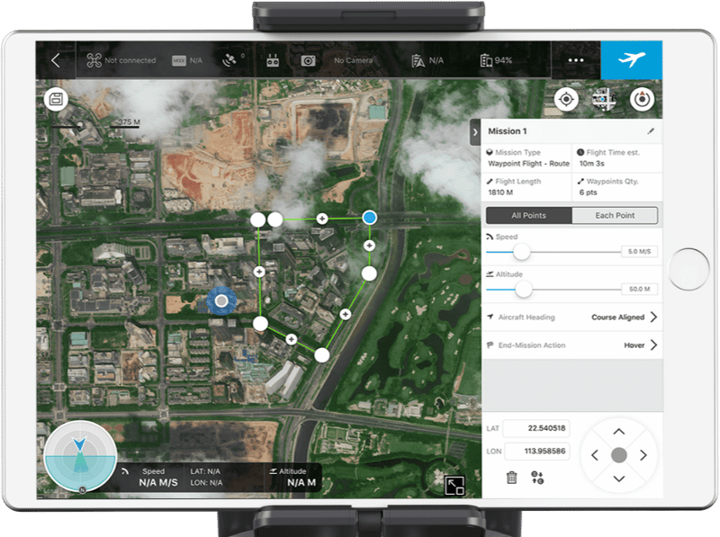
      DJI GS Pro: Drone Mission Planning

      GS Pro (Ground Station Pro) is the latest app developed by DJI to plan and…
      Two drone pilots in a field ready to start a flight. AeroPoint is in the foreground.

      Mastering Foundations of Drone Surveying

      Foundations of Drone Surveying Course – Get Training in UAV Surveying Propeller partner UAVAIR provides…