Propeller Aero & Trimble
Mehmert Tiling is using Trimble Stratus, Powered by Propeller. Trimble, the global leader in positioning technologies, was an early partner of Propeller. Our teams work closely together to deliver Trimble Stratus survey-grade drone data solutions for the heavy civil industries.
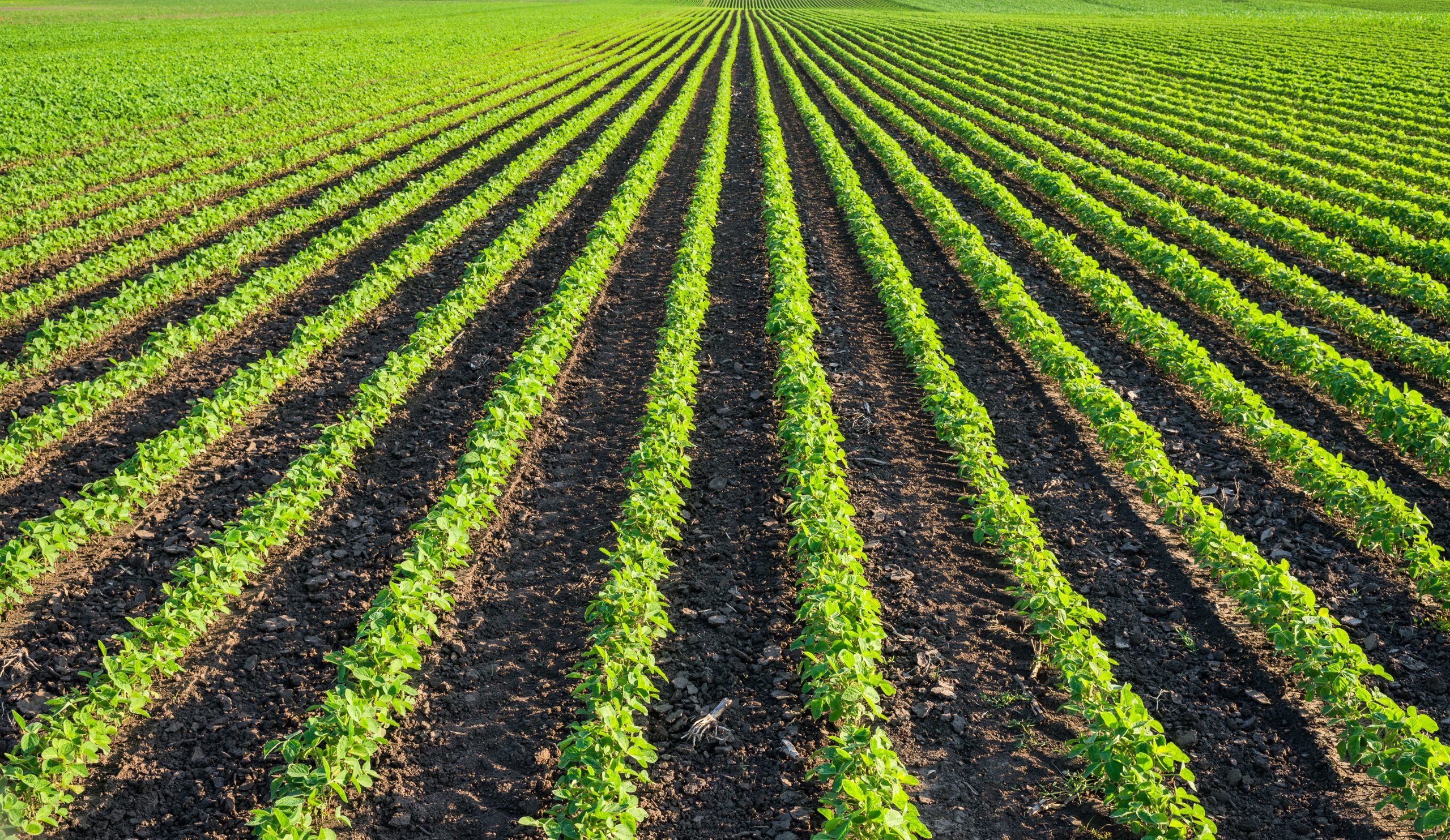
Located in northern Iowa, Mehmert Tiling is a diversified construction business engaging in civil excavating work, street projects, commercial site preparation, and residential work. However, the backbone of the company, which began in 1975, has always been in agriculture, specifically drainage tile.
Drainage tile removes excess water from the soil below the surface. Where irrigation provides additional water to soil when it is naturally too dry, drainage reduces the moisture increasing the amount of air in its pores to optimize crop growth. While surface water can be drained by pumping or using open ditches, tile drainage is often the best way to drain water underneath the surface.
“The soil in northern Iowa is very hydric, making it ideal to grow corn and soybean commodities,” explained Brent Mehmert, president of Mehmert Tiling. “However, to maximize crop yields, agricultural drainage systems are used to lower the water table, which allows workers earlier access to the fields in springtime. It also helps reduce soil erosion and allow crops to develop deeper root structures.”
Bringing in Trimble Stratus
When Mehmert started their business, they were solely based around agricultural drainage. Most of the original agricultural drain lines in northern Iowa were placed prior to GPS mapping, and the maps of these lines were hand drawn and varied widely in readability.
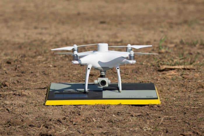
While Mehmert does some replacement tile work, the majority of their business is focused on adding more tile lines to fields, spacing them closer together to better drain fields and maximize crop yield. To add new drain lines more efficiently, Mehmert needed a better ability to map and locate existing tile lines. They turned to Trimble Stratus, Powered by Propeller primarily for the RTK aerial photo capability.
“While the topography often gives us a good idea of where the drainage lines are, until GPS, there was no definitive way to tell exactly where the tile lines were located,” explained Brent. “With the original mapping not being really good, we started using Trimble Stratus to get a more accurate picture of the fields where we were adding new tile lines. We fly our drone to obtain RTK photos of the field and then bring the Propeller-processed photo into our Trimble farmworks software.”
Previously, Mehmert depended upon backhoe excavation to remove the top soil and identify where the tile lines were located. This process was much more costly and time consuming. But now using Trimble Stratus, Brent states they’ve been able to increase their productivity.
“We’ve been using Trimble Stratus to take pictures for nearly three years now,” Brent shared. “This has helped us cut down on the amount of excavating we need to do because we can get a lot closer with our aerial photography and pinpoint exactly where the lines are, allowing us to work quicker and more efficiently.”
On their projects with varying soil types, using Trimble Stratus helps Mehmert identify the best place to lay the new drainage lines. Using a drone, they photograph the field in the spring when the soil is wet and are then able to determine the optimal spots for the new lines. Better drainage means better crop yields, and their customers get more from their land.
“We’re a well-established contractor, and our customers hold the expectation that Mehmert is on the front edge of drainage doing everything we can to work more efficiently and effectively,” stated Brent. “Our customers are looking for us to be the innovator and bring new practices to our work. So, it’s our responsibility to find and use innovative platforms like Trimble Stratus Powered by Propeller.”

Using Trimble Stratus across their businesses
Mehmert has been very pleased with how quickly they receive their processed photos from Trimble Stratus. They also use the platform on the construction side of their business for topography mapping, ground control, and quantifying their stockpiles.
“We definitely value the ability to do surveys with Trimble Stratus, as well, and have been pleased with the accuracy,” Brent said. “We’ve compared the data we get from Trimble Stratus with rover surveys, and it comes out spot on, in about an eighth of the time. We also use AeroPoints for ground control…the PPK workflow and AeroPoints have been a great tandem.”
A custom fit solution
Brent shared he was very impressed that Trimble Stratus Powered by Propeller was willing to find a solution to his specific business needs, particularly in agricultural drainage.
“I really appreciated how the engineers at Propeller were interested in finding a way to make the product work for me differently than it was originally intended,” Brent said. “They helped us get our data into a platform that we could use, especially for our farmworks. They worked closely with us to develop a unique solution that works for Mehmert and also helped us get it up and running.”