Propeller + Trimble
Nevada Gold Mines is using Trimble Stratus, powered by Propeller. Trimble, the global leader in positioning technologies, was an early partner of Propeller. Our teams work closely together to deliver Trimble Stratus survey-grade drone data solutions for the heavy civil industries.
When it comes to leveraging the power of daily progress tracking that drones have to offer, few are operating on the scale that Ben McKnight is. McKnight is the chief surveyor at Nevada Gold Mines, a 40-mile stretch of land with four operating pits, which comprises “the single largest gold-producing complex in the world,” according to them.
For such a massive mining site, McKnight requires a larger-than-average surveying team—seventeen survey field techs, eleven of whom are licensed drone pilots. Every morning, his team flies their armada of drones, gathering the information his engineers and managers will need to make critical decisions.
Recently, Propeller CEO and co-founder, Rory San Miguel, sat down with McKnight to talk about his drone program success, as well as his decade-long journey with drones.
You can check out their conversation in the video below or read on for a quick summary of what they discussed.

Using drones to measure stockpiles on a daily basis
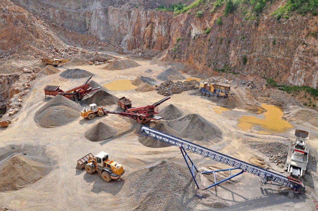
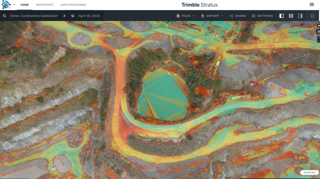
While McKnight uses drone data for a variety of reasons, by far the most important application is stockpile measurements. Documenting precisely how much of each material they have on hand is one of McKnight’s primary responsibilities. It’s his responsibility to make sure their record of material excavated, processed, and moved reconciles with the accounting at the end of each month.
McKnight makes sure his records line up with the truth on the ground by using AeroPoints, Propeller’s smart ground control points, to shoot for ¼-foot accuracy for all his stockpile surveys. McKnight has twenty AeroPoints, which he uses as ground control and check points, distributed around his site.
However, he knows that some days necessitate shorter drone flights, meaning less accurate results. That’s why he’s built one final, longer drone flight into his workflow at the end of every month. With that data, he’s able to go back and correct stockpile volumes for the days he knows the data accuracy might have been lacking.
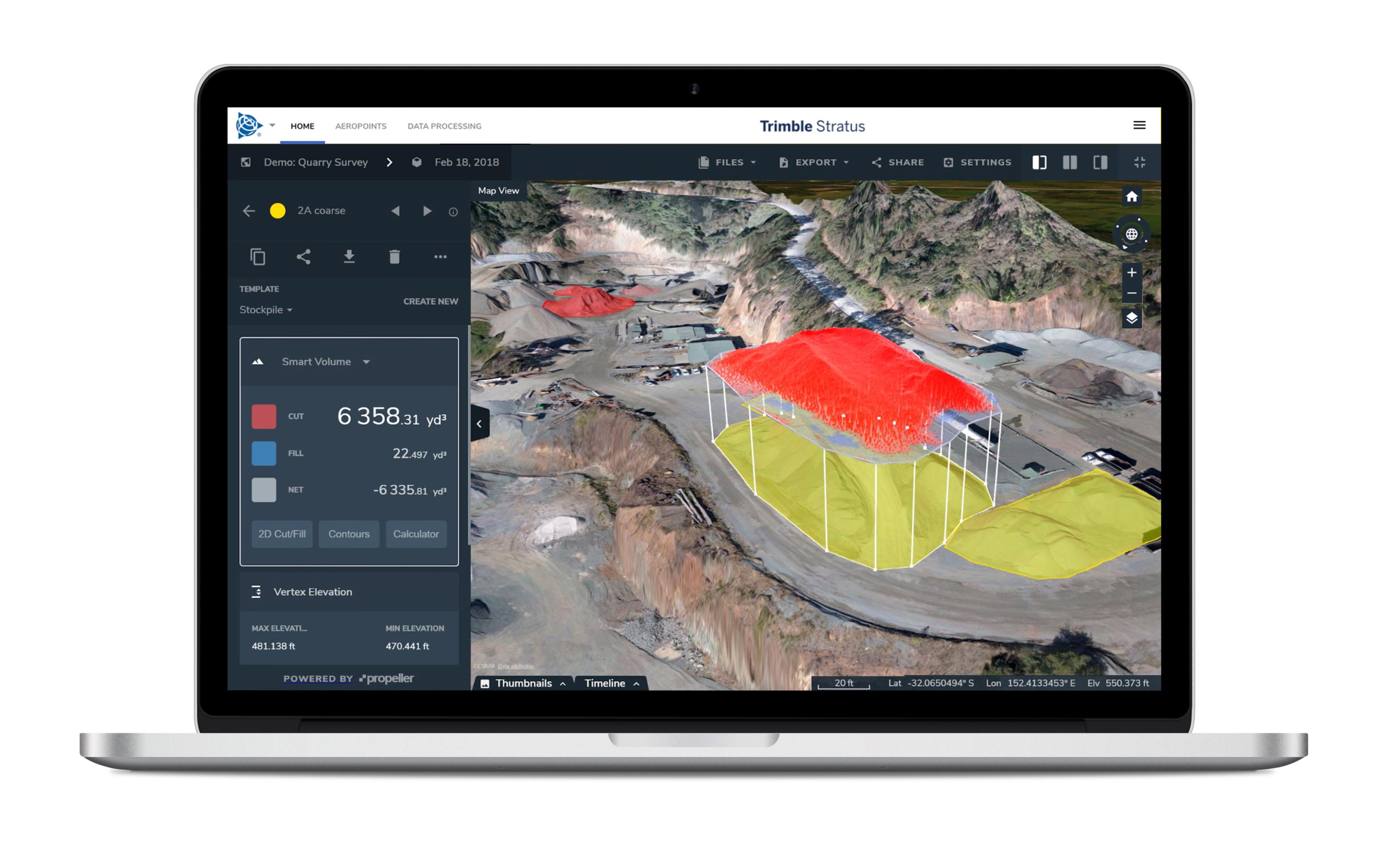
Once he has his stockpile data, McKnight is able to easily export it into a .CSV report for stockpiles and share it with anyone who needs it.
Nevada Gold Mines’ metallurgical department has even built out an integration with their own tracking platform that allows them to import the report and automatically update their material trackers.
From early drone adopter to survey standard setter
When McKnight came to Nevada Gold Mines, he was already intimately familiar with drones. All the way back in 2008, the company McKnight worked for was approached about using a remote-controlled helicopter to take an aerial survey of their site. Suffice it to say, McKnight was intrigued.
“I’ve always tried to stay at the forefront of technology,” says McKnight. “I’m in the survey world, and I love helicopters, so those two things just meshed.”
From there, McKnight convinced his managers to purchase a drone, even then optimistic about their potential for faster, reliable stockpile measurements. He believed he could use photogrammetry to get more accurate stockpile volumes than he could with traditional base-and-rover surveying or lidar.
And he was right. After a month flying his first drone, McKnight was able to detect a 30% discrepancy in their stockpile reporting.
“We proved within those first couple months the value of the data we were getting out of the stockpiles,” says McKnight. “It didn’t even make sense to anybody that you could get this much data, this quickly, with this much accuracy.”
Even though he was initially met with skepticism, as time went on, everyone else in his company began to understand the benefits of his new “toy.”
How did he land on Stratus?
As time went on, McKnight stayed ahead of the curve on drone survey adoption. He sought out newer software packages with improved functionality, like the ability to inspect and improve haul roads. He also wanted to use a cloud-based platform so he didn’t have to host the data and could share large orthophoto and point cloud files more easily with parties inside and outside the organization.
Then, six months into a contract with a company that met those standards, his Trimble dealer introduced him to another drone survey player that exceeded them: Propeller.
With Propeller, McKnight saw many of the features he’d been waiting for someone to bring to fruition actualized:
- Interactive 3D models. While he, as a surveying professional, is able to glean plenty of valuable information from a 2D orthophoto, being able to show his coworkers realistic 3D visualizations—that he doesn’t have to construct himself—would be a time-saving communication asset.
- Coordinate system flexibility. Nevada Gold Mines actually consists of two older mining sites, which were originally set up in different, non-localized coordinate reference systems. McKnight needed an easier way to apply drone surveys—referenced through WGS 84—to disparate datasets.
- Ease of use. McKnight wanted more of his colleagues to be able to pull stockpile volumes and other measurements without having to go through him. But he also sought ease of use on the hardware front; With an ever-expanding team, he needed high-quality tools he could easily train people on, whether they’d be using drones to measure stockpiles or for another use case. (McKnight’s fleet now includes the DJI Phantom 4 RTK—which he uses with the Propeller PPK workflow—along with an assortment of other drones.)
While it’s the tech that pointed McKnight toward Propeller, it was our customer-driven product development team that put us over the edge, in his opinion:
“The surveying and mining world has made me beat my head against the wall at times,” says McKnight. “With Propeller, the willingness to look into my suggestions is a major factor for me. Even if I have an impossible pipe dream, you’ll take a couple minutes to listen and say, ‘yeah, I see where you’re coming from, let’s see what we can do.’”


