You can’t make the right decisions without accurate data. And currently in the industry, there’s a plethora of data. A recent report from Autodesk and FMI shows that the volume of available project data has doubled in the past three years alone.
But not all data is created equal. Eight out of ten contractors believe that at least 20% (and often far more) of their data is unreliable, and construction companies lost $1.8 trillion globally due to bad data in 2020.
In other words, what you don’t know can end up costing you!
Fortunately, construction companies have embraced technology over the past decade that puts better data in their hands more quickly, and with fewer steps than traditional methods.
Read on to learn how drone surveying makes earthwork quantity measurements as accurate as possible.
Survey early and often
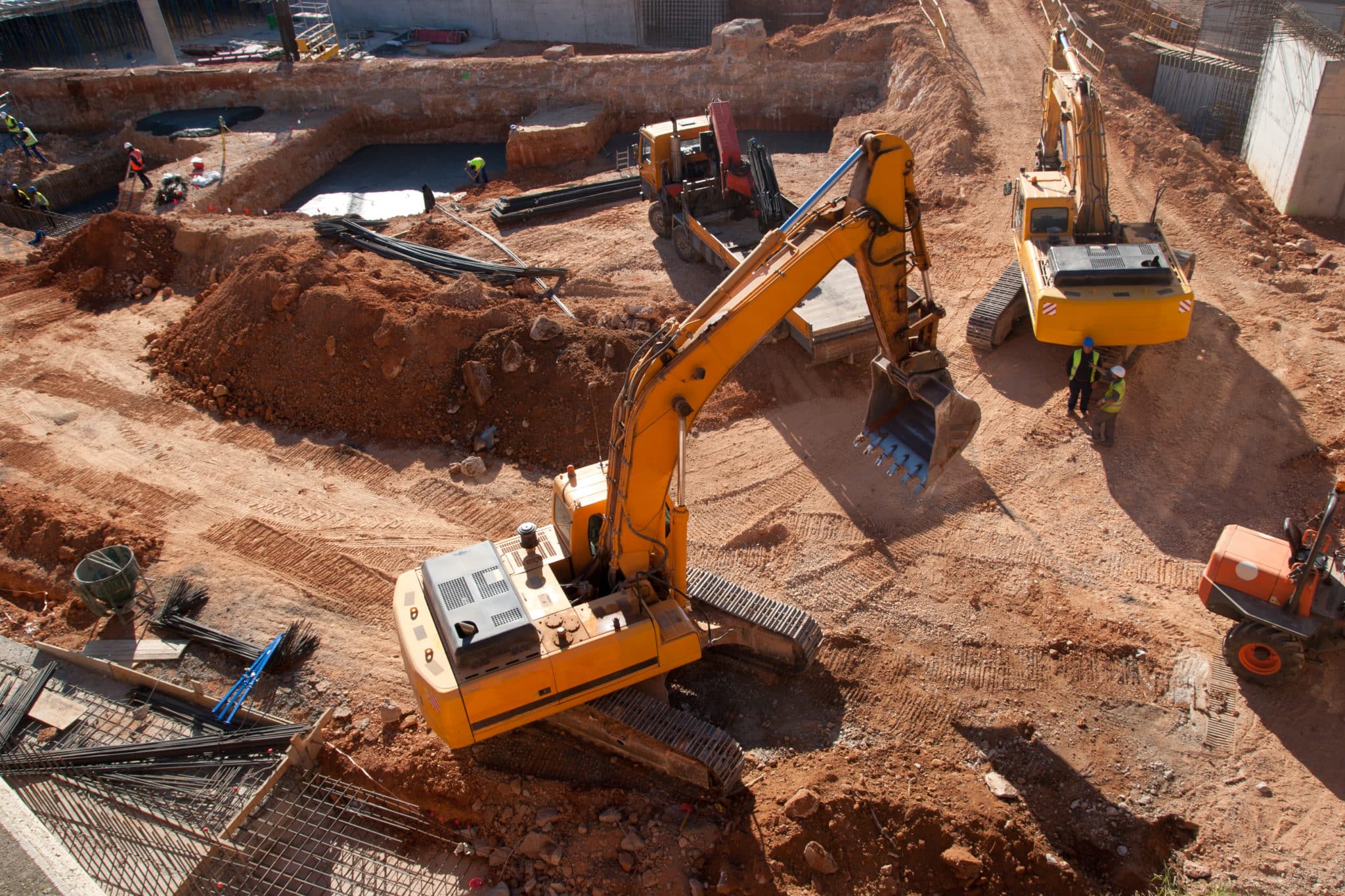
The more frequently you survey with high-accuracy tools, the better your data. Stockpile volumes and cut/fill change as you work, and you can’t understand how closely your surface matches the design without regular updates.
Understanding the scope of work from the very start of a project is essential for your business. Drone surveying makes pre-bid surveys and takeoff reporting simpler.
Drones make it easy to create a highly accurate 3D map of a worksite at any project stage, including bidding. And the cost is substantially less than employing a traditional base-and-rover survey.
Surveying with drones helps you keep your stakeholders informed and document every step with photorealistic maps that anyone can access. Point-and-click functionality makes reading quantities easy. Just draw lines around the surface you want to measure, and the Propeller Platform computes the results.

Leverage technology
The construction industry has historically been resistant to change, but cutting-edge tech is becoming more commonplace with upsides like drone surveys accurate to 1/10 foot.
Here are a few of the tech elements that contribute to the highly-accurate, easy-to-use process of drone surveying:
- Point and shoot: You fly the survey drone, but Propeller’s PPK workflow does just about everything else for you. The drone captures hundreds of images and GPS data points, which are then uploaded into the software platform. On the back end, the software generates point clouds to create highly accurate, 3D models of a worksite without requiring anyone to navigate the terrain on foot with expensive equipment.
- Smart ground control: Propeller’s AeroPoints make ground control easy. Rather than marking and relocating ground control points (GCPs) manually, simply place a solar-powered AeroPoint near your launch site. It serves as ground control and base station in one, raising your accuracy while decreasing your time in the field.
- Automatic processing: In the past, detailed linework and quantity measurements required expensive software and hours of dedicated training. Even after all that investment, only one or two people at a company could accurately read the data. However, with the detailed 3D models generated from drone surveys, everyone on a project—from surveyors to clients—has easy-to-read data at their fingertips with no special training required. Propeller processes and validates your data for you.

Use every tool at your disposal
Did you know that earthmoving equipment can double as a measuring device?
By attaching sensors to your earthwork equipment as you work, you can obtain a near-real-time estimate of grade and volume measurements without having to complete a survey.
Where drone surveys provide a detailed view of your site with regular flights (e.g., weekly), Propeller’s DirtMate provides a regularly updated look at where your equipment is located, how it’s moving, and the current state of your surface.
By filling in the blanks between surveys, foremen, supervisors, and project managers always understand exactly how a project is progressing against set targets.
Guesswork is the enemy of accuracy, and can cause multiple problems. Do away with rough estimates by making it easy to draw an accurate picture of your worksite every day.