See how DJI’s Mavic 3 Enterprise drone and Propeller can help you better manage your site

Read Time: < 1 min
Quick links

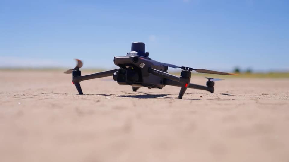
    DJI, a global leader in drone and aerial imaging technology, released their newest commercial-grade drone, the Mavic 3 Enterprise (M3E) in September of 2022. Propeller has enjoyed a longstanding partnership with DJI, beginning with the Phantom 4 RTK, our original companion drone compatible with the Propeller PPK workflow.

    The M3E is able to collect highly accurate survey-grade data that can be used to map, measure, and manage your earthmoving operations. It is also fully compatible with Propeller, and surveyors or project managers can confidently survey challenging sites with reliability, process and share their data quickly, and measure with precision.

    Check out this video from DJI that showcases the M3E with Propeller customer Justin Russell of Fiore & Sons at one of his job sites. In just one hour, the M3E collects comprehensive survey data of the 85-acre site, which is then uploaded to Propeller to accurately transform it into a 3D map of his job site.

    DJIs M3E and Propeller
    Justin Russell of Fiore & Sons talks about using DJI’s M3E drone
    Quick links

      Related articles

      A surveyor laying an AeroPoint on the ground stood next to a car.

      5 Ways to Use Your AeroPoints Sets

      AeroPoints™, Propeller’s smart ground control points, were designed to be used in five different ways.…

      Drones Changing The Game For Topographic Surveying

      Drone technology is becoming a common tool in any surveyor or site manager’s toolkit. It’s…

      Better, Faster Topographic Surveys with Drones and AeroPoints

      Osprey Aerial Intelligence, an aviation information company based out of the South Okanagan Valley in…

      Ready to learn how Propeller can power up your worksite?

      We’re happy to show you how Propeller can power your worksite, and boost productivity.

      Related articles

      Drone pilot in hi-vis flying a drone next to a crane, with an AeroPoint on the floor.

      Things To Know About Ground Control in Drone Surveying

      Ground control is the go-to option for turning drone data into highly accurate, survey-grade models.…
      DJI M4E flying in the sky

      Propeller’s Drone Guide: DJI Solutions for Commercial Operations

      At Propeller we love testing new drone hardware and we are processing hundreds of drone…

      Telecom Tower Inspection using DJI Phantom 4 Pro: Step-by-Step Guide

      A few weeks ago a new DJI Phantom 4 Pro was delivered to our office.…