Why Propeller?
Industries
Construction
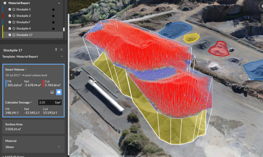
Aggregates + Mining
Waste Management
Survey + Engineering
Workflows
Map
Make data and survey processing simple.
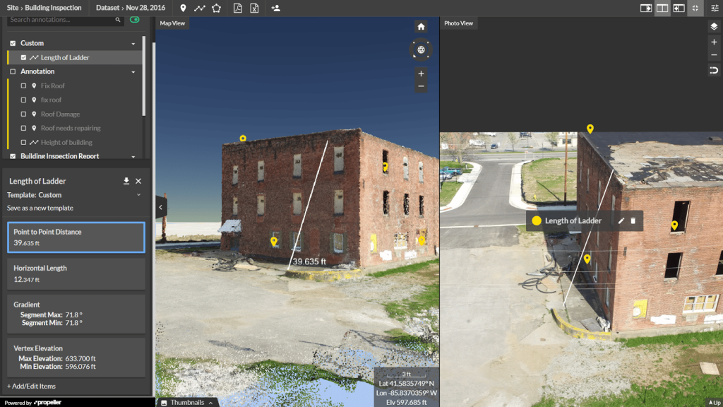
Measure + Manage
Access insights and manage your site like never before.
PPK Drone Mapping
Capture, process, and correct survey-grade drone data.
People
Culture + Values
Founders + Board
Open roles
Solutions
PLATFORM
Propeller
A cloud-based workspace where you can map, measure, and manage your site.
Hardware
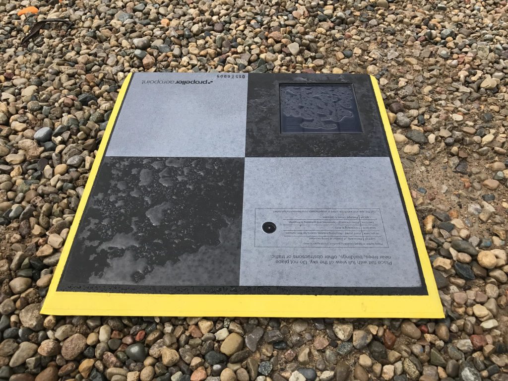
AeroPoints
DirtMate
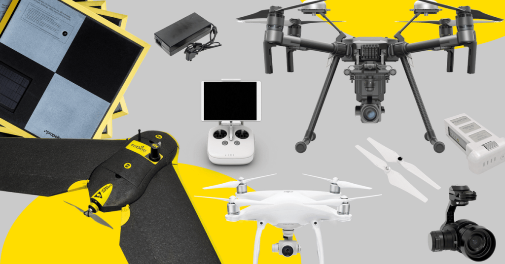
Drones + Sensors
Data Services
Photogrammetry Processing
Lidar Processing
Resources
Connect
Training + Support
Learn
Customer Stories
Resource Center
Knowledge Base
English
Deutsch
Login
Contact us
Contact us
Login
Why Propeller?
Industries
Construction
Aggregates + Mining
Waste Management
Survey + Engineering
Workflows
Map
Make data and survey processing simple.
Measure + Manage
Access insights and manage your site like never before.
People
Culture + Values
Founders + Board
Open roles
Solutions
PLATFORM
Propeller
Hardware
AeroPoints
DirtMate
Drones + Sensors
Data Services
Photogrammetry Processing
Lidar Survey Processing
Resources
Connect
Training + Support
Learn
Customer Stories
Resource Center
English
Deutsch
Five Ways the Propeller Platform Will Improve Your Aerial Survey Inspections
A Surveyor’s Guide to Drones: How to Get the Job Done Faster Without Compromising on Accuracy
A Surveyor’s Guide to Drones: Selecting the Drone, Camera, and Licenses (Part 1)
AeroPoints Help NOAR Technologies Bring Accurate Ground Control to AEC
Marking Semi-Permanent GCPs with AeroPoints and AeroStencils
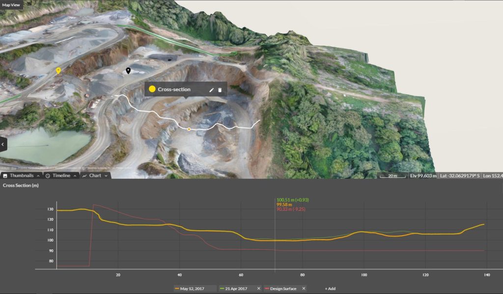
Cross Section Survey in a Matter of Minutes Using Drone Data
Announcing Our Official Collaboration with Trimble
Previous
1
…
3
4
5
6
Menu