NOAR Technologies is an AEC (architectural, engineering, and construction) tech solutions provider from Detroit, Michigan. They provide their clients with the software, hardware, and guidance necessary to complete successful site capture and augmented reality projects.
NOAR is the latest company to become an authorized Propeller dealer in the United States. Owner and president, Chad Studer, kindly agreed to share the story of how this came to be.
Discovery
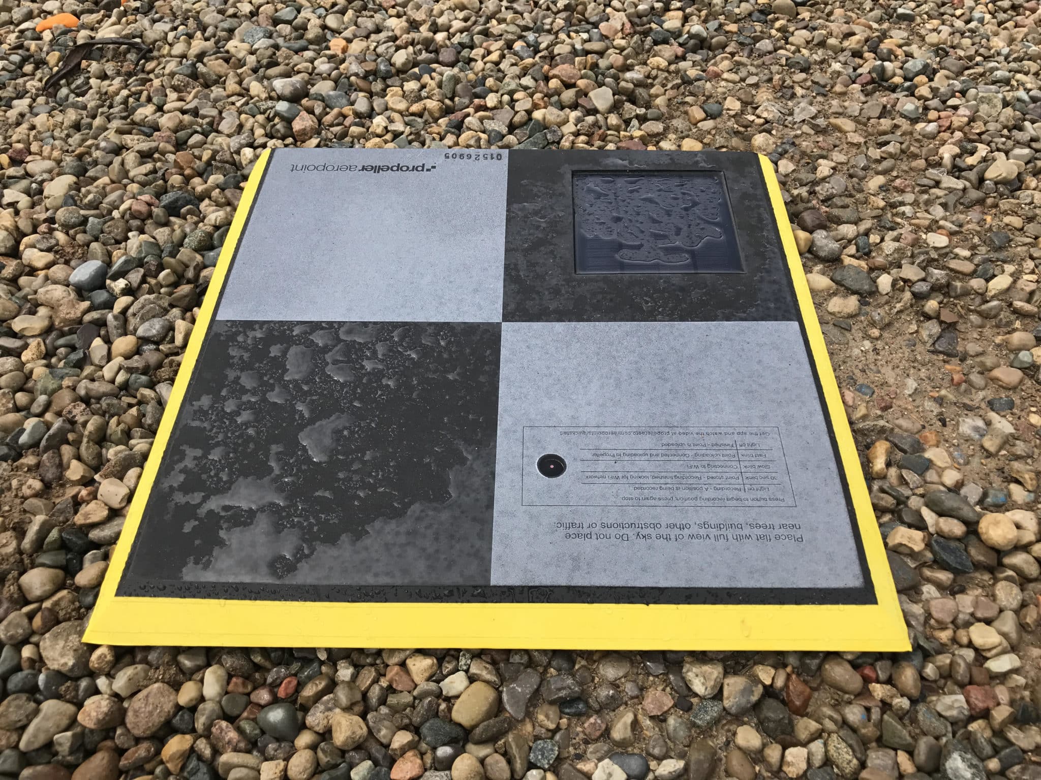
“We actually first heard about AeroPoints from a client,” Chad recalls. “They asked if we had tested the targets that automatically calculate real-world coordinates.”
Committed to keeping up with the latest industry trends, NOAR purchased a set of AeroPoints to test out.
Chad admits he was skeptical at first—so much so that he originally planned to return the AeroPoints after testing. He simply didn’t believe the product would be able to deliver truly accurate real-world positions.
Field testing
For the test, NOAR first hired a professional surveyor to set up traditional ground control points around their 20-acre site.
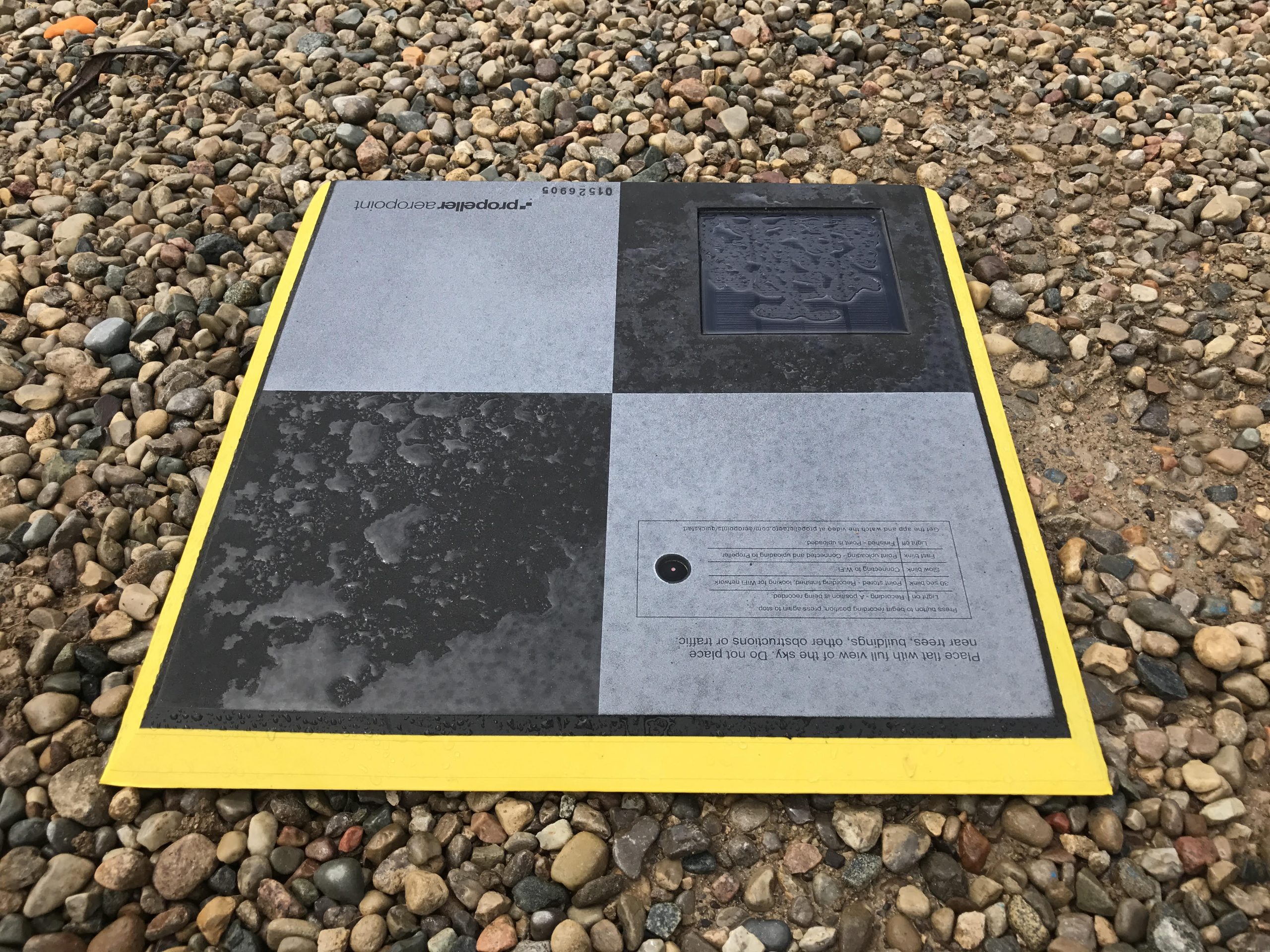
Next, NOAR placed AeroPoints directly over the points marked out by the surveyor. When they downloaded the AeroPoints data, they were astonished by the results.
“We received an ASCII file that was almost identical to the survey control provided by our professional surveyor,” says Chad.
From users to dealers
In the end, Chad and his team at NOAR were so impressed by the accurate results they achieved using AeroPoints that they decided to become authorized Propeller Resellers.
They believe AeroPoints are the perfect tool for sites that require laser scanning and drone data to be integrated on real-world coordinates. They provide NOAR’s customers with a seamless solution for streamlining drone capture and workflows.
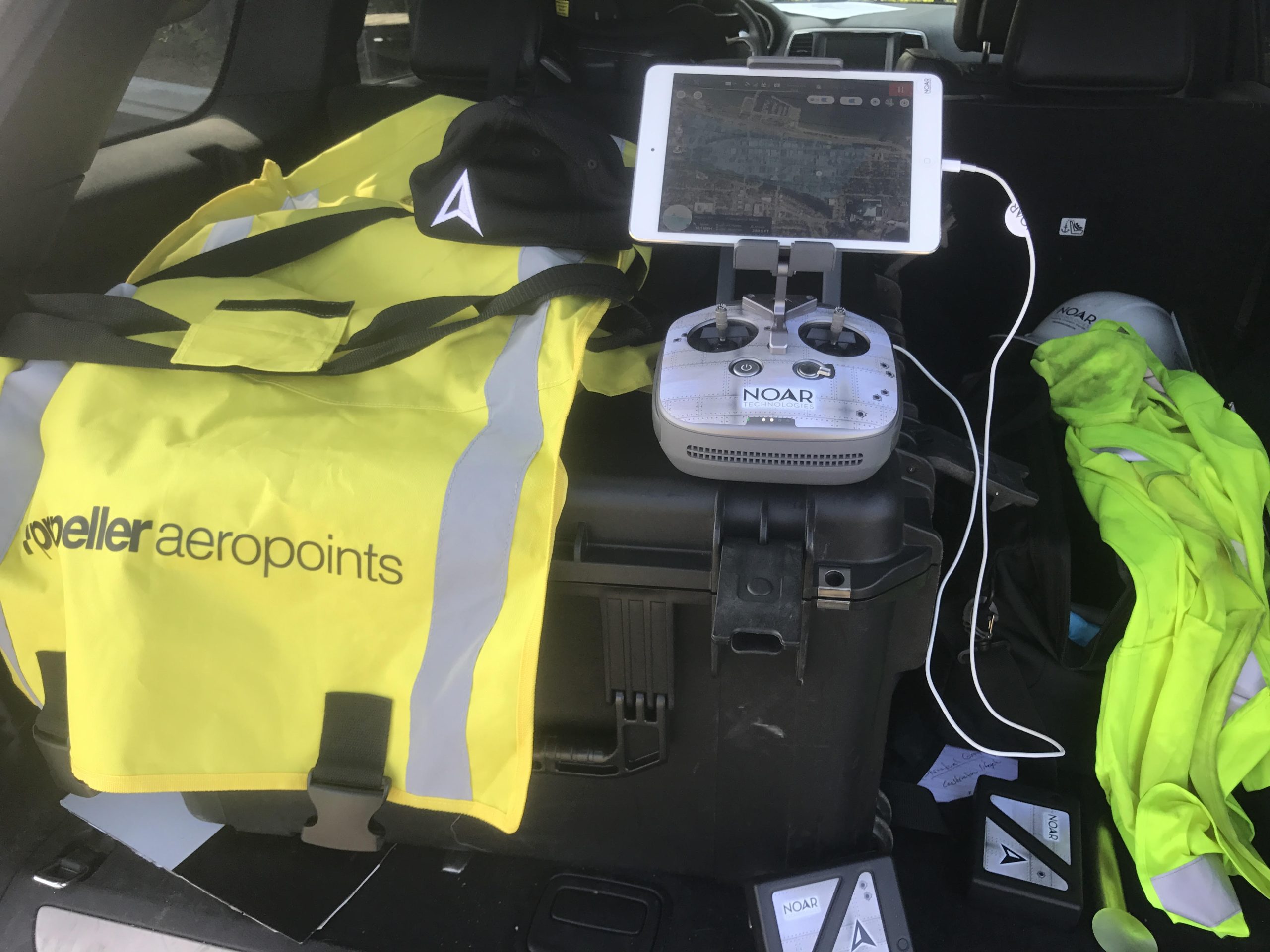
NOAR frequently facilitates drone demos—and every potential customer wants to see how accurately they can capture their site.
In the past, expensive survey equipment was required onsite for these field presentations—but this approach has caused problems. Sometimes the equipment was too cumbersome for the site and set up caused delays.
These problems are solved now that NOAR has adopted AeroPoints. “My favorite part of the AeroPoints is how easy they are to use,” says Chad. “There is no learning curve. Just follow a couple of simple directions and download the survey control file.”
Using AeroPoints and Pix4D
NOAR typically uses AeroPoints in combination with Pix4D’s processing platform. AeroPoints allow to generate more accurate GeoTIFFs and point clouds for extracting existing features and volumes.
Another advantage is using ground control checks with Pix4D. On several project NOAR Technologies entered six of the ten control points into Pix4D and used the other four control points as checks to confirm the elevations are accurate at those locations. Additional benefit of using AeroPoints is the ability to export a PDF file of the AeroPoints locations. This PDF provides a quick check and reference to adding control points into Pix4D.
Recently NOAR Technologies, published a great video showing how AeroPoints fit into their drone mapping workflow using Pix4D.
This video might be of interest to all Pix4D users.