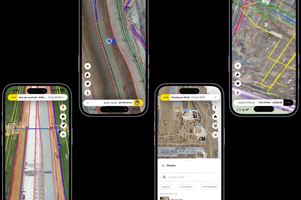
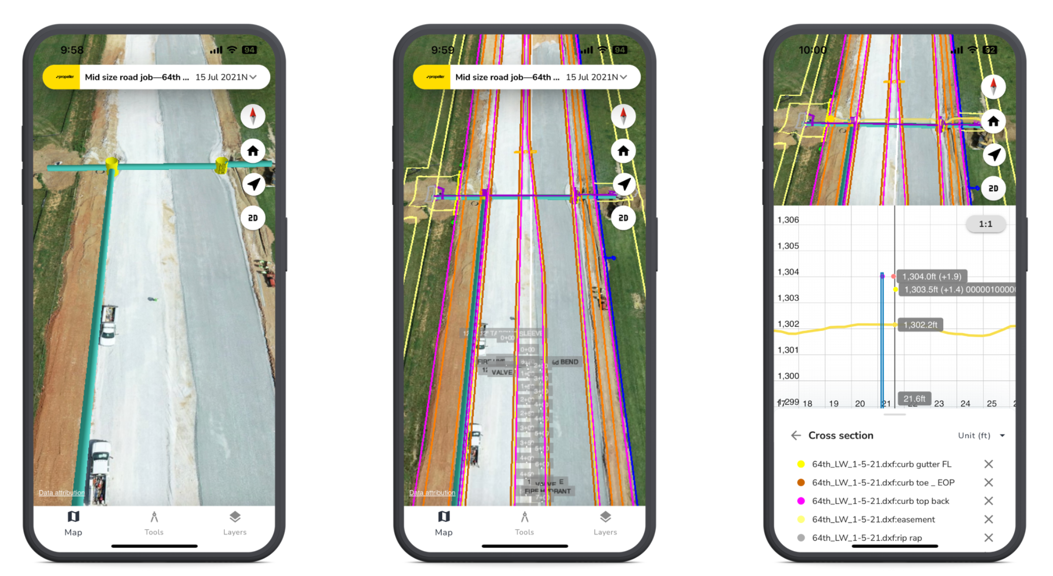
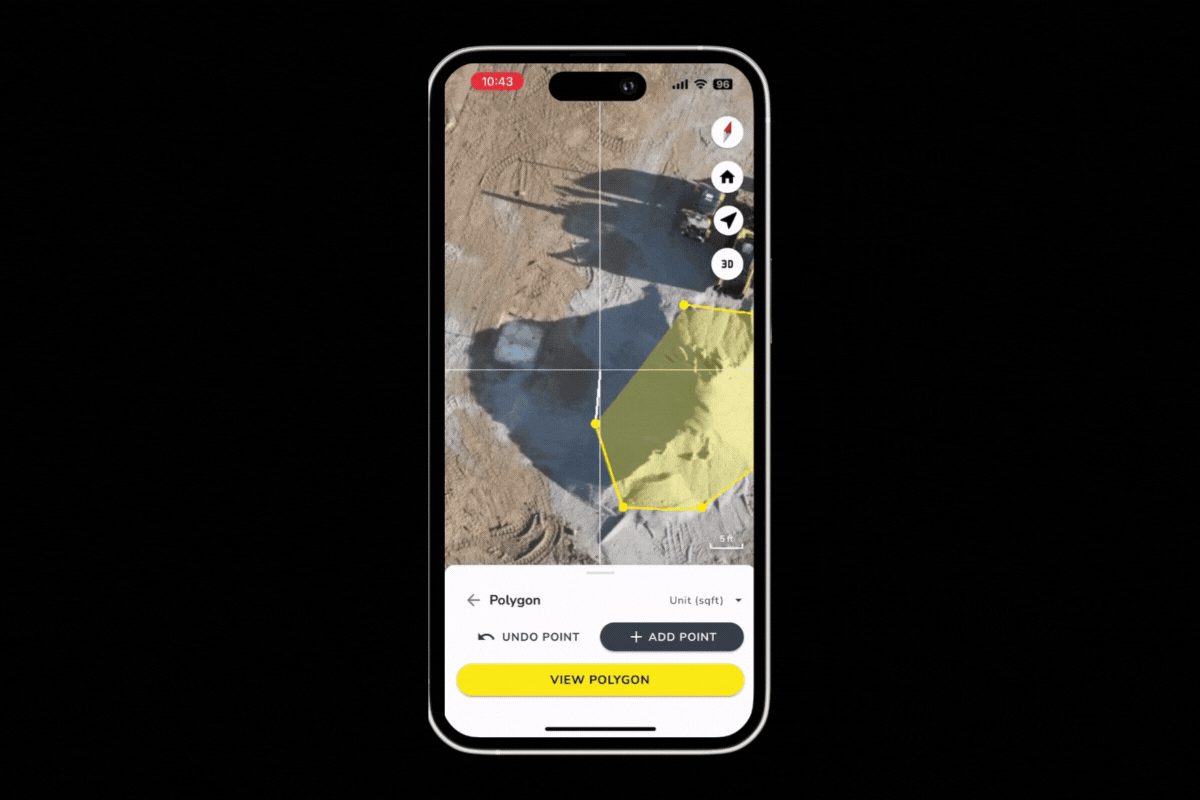
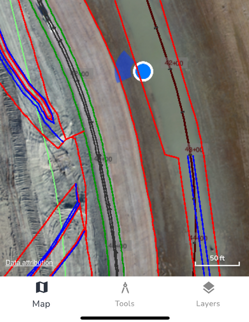
10 smart survey workflows your team can do from their phone

The construction industry has long been criticized for being slow to adopt technology, but we think technology has been slow to create the right tools. Field crew, often working on a short timeline in challenging or dangerous terrain, need smart survey workflows, tools that help them make quick decisions through accurate distance measurements, basic elevation information, and precise location data.

Our understanding of what our customers need is constantly evolving, and we’ve spent the past few years developing intuitive and mobile-friendly solutions to support the real-time demands of field work. 

In this post, we present 10 smart survey workflows your team can do from their phone, whether in the field or at the office. Leverage the best of survey and GIS technologies right from your pocket—no steep learning curve is required.

#1: Your worksite, in your pocket

You can’t put a price on the value of seeing daily progress as it unfolds, reflected on an interactive map that’s accessible anywhere. Where workers were once limited to a narrow view of the section of a site they were actively working on, Propeller puts a bird’s-eye view of even the largest worksites into your pocket. 

Most drone survey software doesn’t bring full functionality into the field, but we’ve created a dedicated app with the functionality to upload media, view design files, make real-world measurements, and overall gain an in-office software experience right where you need it most. Users get a holistic view of the entire project, from anywhere, empowering them to make better decisions and optimize their workflow. 

#2: Document site activity in real time

Capture your reality in real time, from any device. From photos to 360-degree images, there’s more to an accurate worksite map than drone data.

With Propeller, you can capture site activity from all directions, using your mobile device to pin, organize, and respond to media directly on the map. Not only can you access a 3D view of your worksite; you can upload, download, tag, and comment on location-based photos to communicate instantly with your team, without ever leaving Propeller. 

#3: Measure cross-sections

When drone-captured survey data and Propeller join forces, measuring cross-sections becomes as easy as drawing a line on a map. Anyone who needs to estimate and track earthwork in road and site construction, mines, quarries, or landfill sites will love the simplicity of instant cross-section measurements. Cross-sections also give you immediate insight into the height differences between a site’s design and your reality at any given time, ensuring that projects stay on track. Create unlimited cross-sections to easily compare between multiple 3D surfaces, or check the profile and height of any point at a section you choose. 

#4: Map underground utilities

Drones can’t see what’s under a worksite’s surface, but design files can.

Utility cross-sections on Propeller mobile

Propeller’s underground utilities map is a significant addition to our cross-section feature, offering an unprecedented level of awareness to earthwork near utilities. While utility data is useful on desktop, it’s critical in the field to aid in clash detection and help prevent the nightmare of a utility strike. 

#5: Track progress against design

Construction progress tracking is especially useful to field workers who rely on real-time information to make decisions about the work that needs to get done today. You can import multiple surface file types into Propeller and easily compare any survey to your final design with just a few taps. Use Compare to Design to view progress to date and assess remaining work, or measure progress between two surveys. 

#6: Calculate volumes in seconds

With accurate site surveys at your fingertips, finding answers to questions about stockpile quantities becomes a whole lot simpler.

Drone surveying workflows provide highly accurate stockpile measurements so you can calculate updated volume data as often as you want to fly. With updated information at their fingertips, teams can tighten up worksite operations—everything from financial forecasting to supply-chain management and accurate reconciliation

#7: Check elevation instantly

Don’t guess at road grades or elevation changes—conduct grade checks on the go so you’re always working with the most accurate data. Accurate elevations are particularly important at mines and quarries; when you’re digging down deep and relying on survey data to plan your next blast, you need visuals and precise feedback on how extraction is progressing. 

Using our mobile Line tool, field crew can also check haul road grades to ensure they meet safety requirements and are optimized for minimal fuel consumption. 

#8: Go the distance with point-to-point measurements

If you’ve ever wished that measuring the distance between any two points in the field could be as simple as a few taps on your smartphone screen, you’re in luck. Horizontal and surface length, point-to-point distances, and height differences all form a single line. Use Propeller’s point-to-point measurement tool to tap where you want to measure. Getting the data you need really is that easy.

#9: Know your precise location

Enjoy the functionality you’re used to with your favorite navigation mapping software.

Propeller shows a blue dot on the survey map to pinpoint your current location. Visualizing their position on the map helps site supervisors and field teams understand their exact location relative to design and can help spot-check elevation in certain areas.

#10: Keep in touch with your team

React and respond to your team instantly, without ever leaving the map. Surveyors and supervisors aren’t always checking their email or text messages while they’re out in the field, so reach them where they’re already working—in Propeller. Post a photo, tag a colleague in a comment, and get the updates you need in real-time with our smart survey workflows. 

Discover more ways Propeller keeps your team connected through one map—request a live demo today.
Share

We’re happy to show you how Propeller can power your worksite, and boost productivity. Simply request a demo now.

Subscribe to our newsletter

Get the latest from Propeller, including industry news, customer stories, webinars, videos, and more.

You may unsubscribe from these communications at any time. For information on how to unsubscribe, as well as our privacy practices and commitment to protecting your privacy, please review our Privacy Policy.