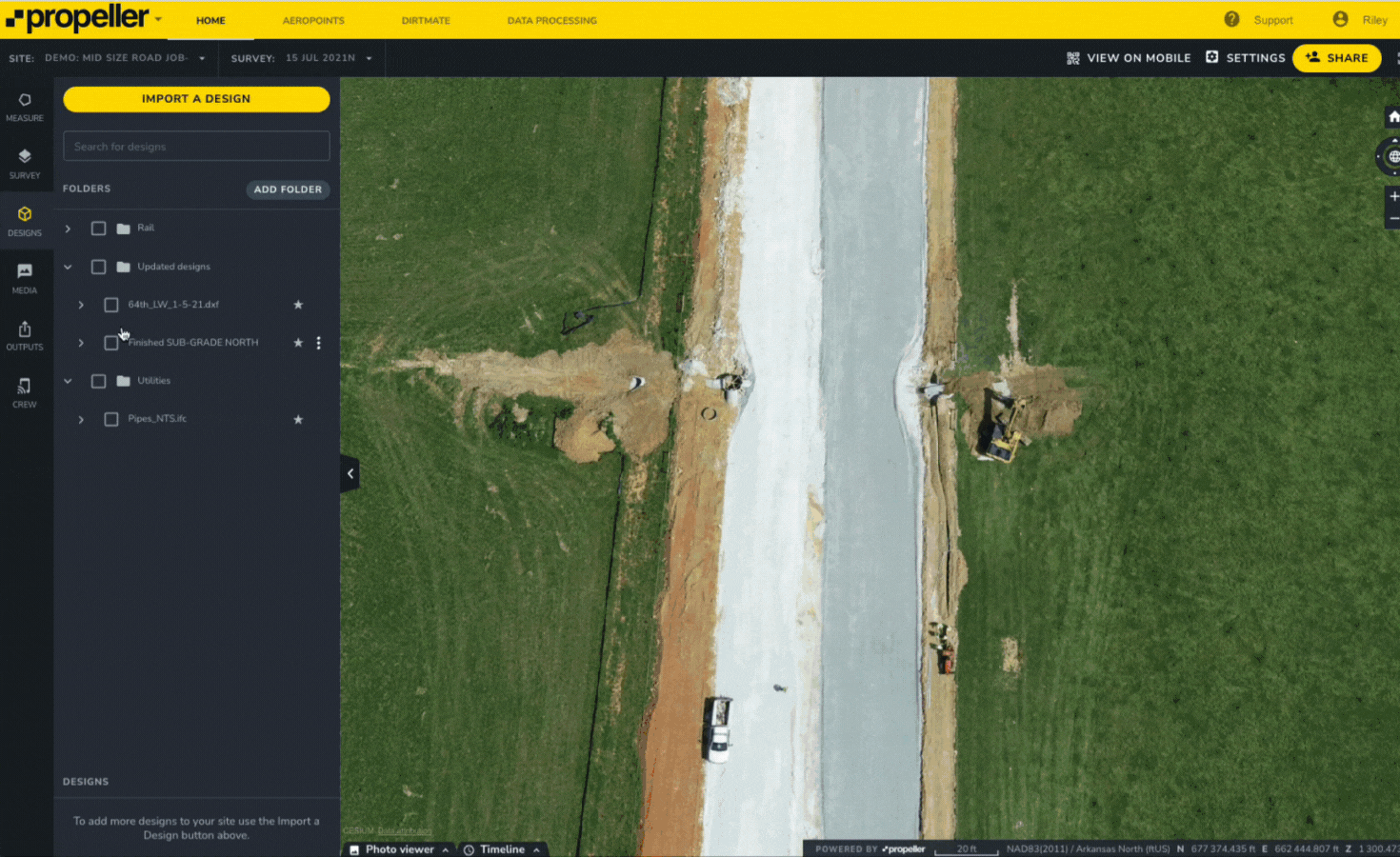
Learn what a point cloud actually is and then how drone data is integrated with a point cloud to build a 3D worksite model.

Drones in Construction: A Guide
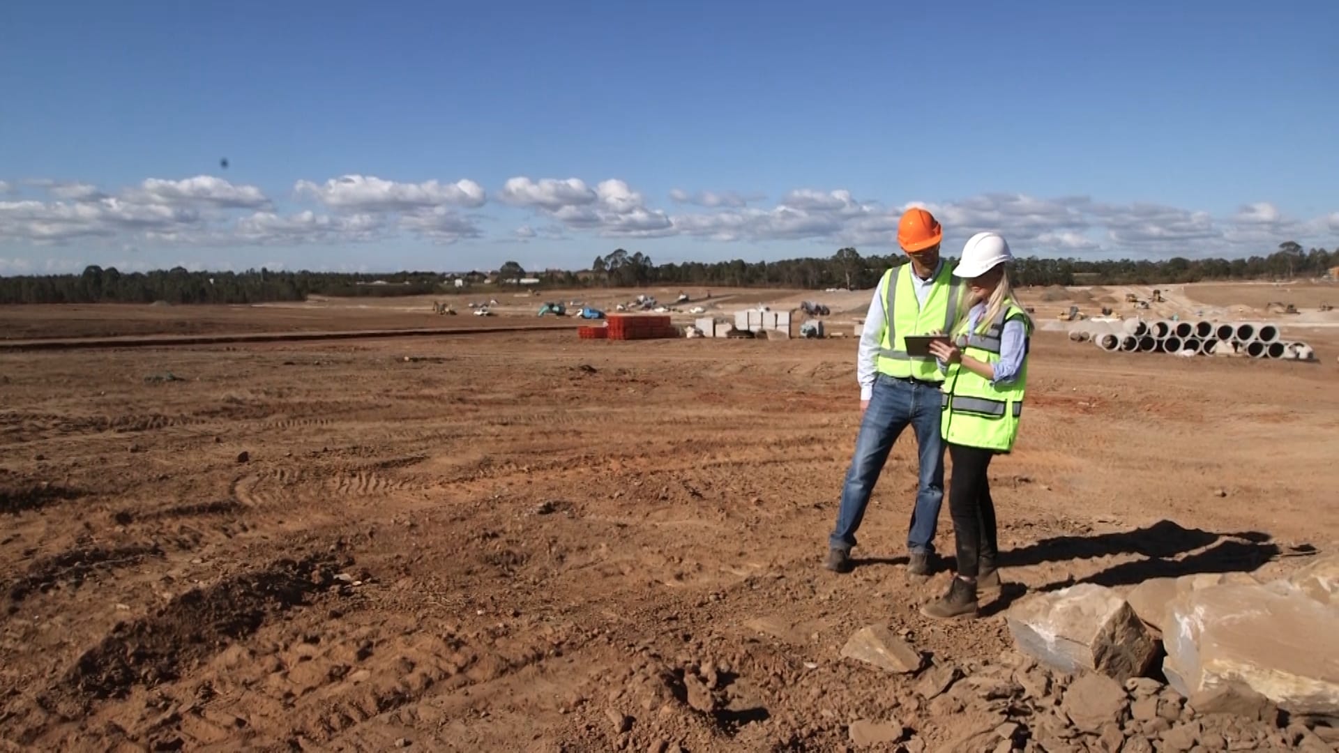
New to using drones in construction projects? Start here. Drones have never been more affordable…