Propeller Aero & Trimble
Salsbury Engineering is using Trimble Stratus, Powered by Propeller. Trimble, the global leader in positioning technologies, was an early partner of Propeller. Our teams work closely together to deliver Trimble Stratus survey-grade drone data solutions for the heavy civil industries.
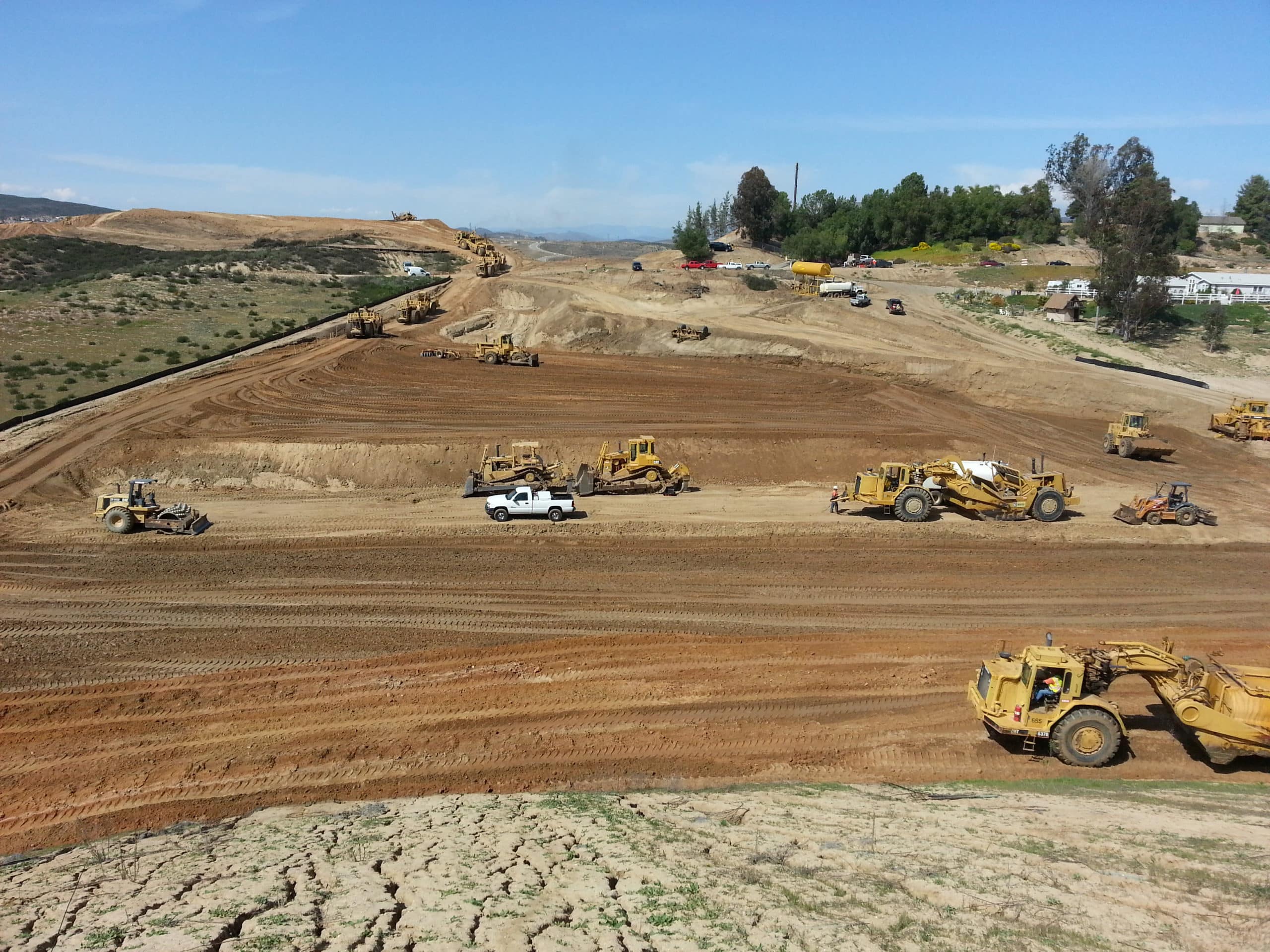
Jon Gauthier is the Vice President for Salsbury Engineering, a grading and earthworks contractor based in Southern California that specializes in complex industrial projects involving more difficult grading and excavation schemes, such as airports, hospitals, and powerplants.
A technology-savvy construction professional with broad on- and off-site experience, Jon has spent his entire professional career with Salsbury, beginning as a laborer in the field and then becoming an integration specialist where he began estimating and project managing using cutting-edge grade control and job costing technologies. Now, as vice president, he is a part of every Salsbury project in some form and is focused on embracing new technologies to enhance worksite safety, team collaboration, and overall project productivity.
Since implementing a drone program with Trimble Stratus, Powered by Propeller, Salsbury has been able to survey their sites faster and with greater accuracy than with traditional surveying, delivering more reliable data into the hands of their decision makers.
Obtaining accurate data was challenging
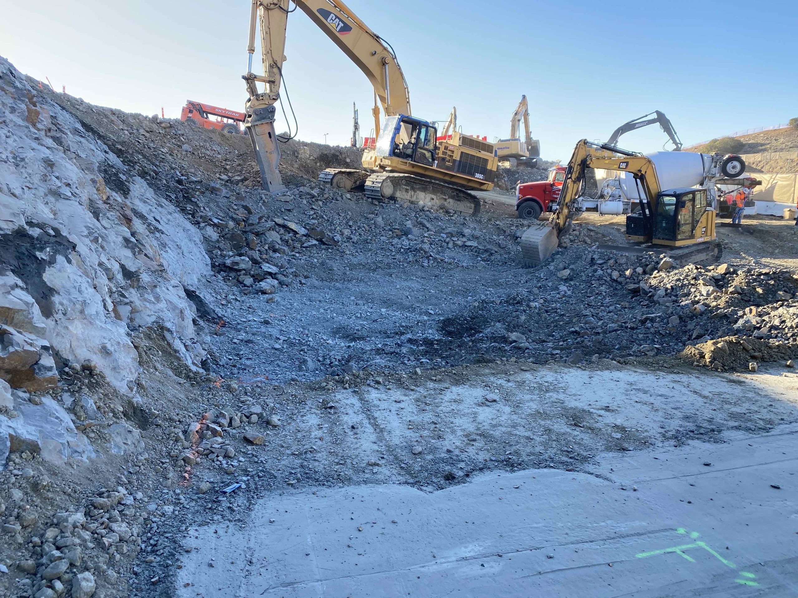
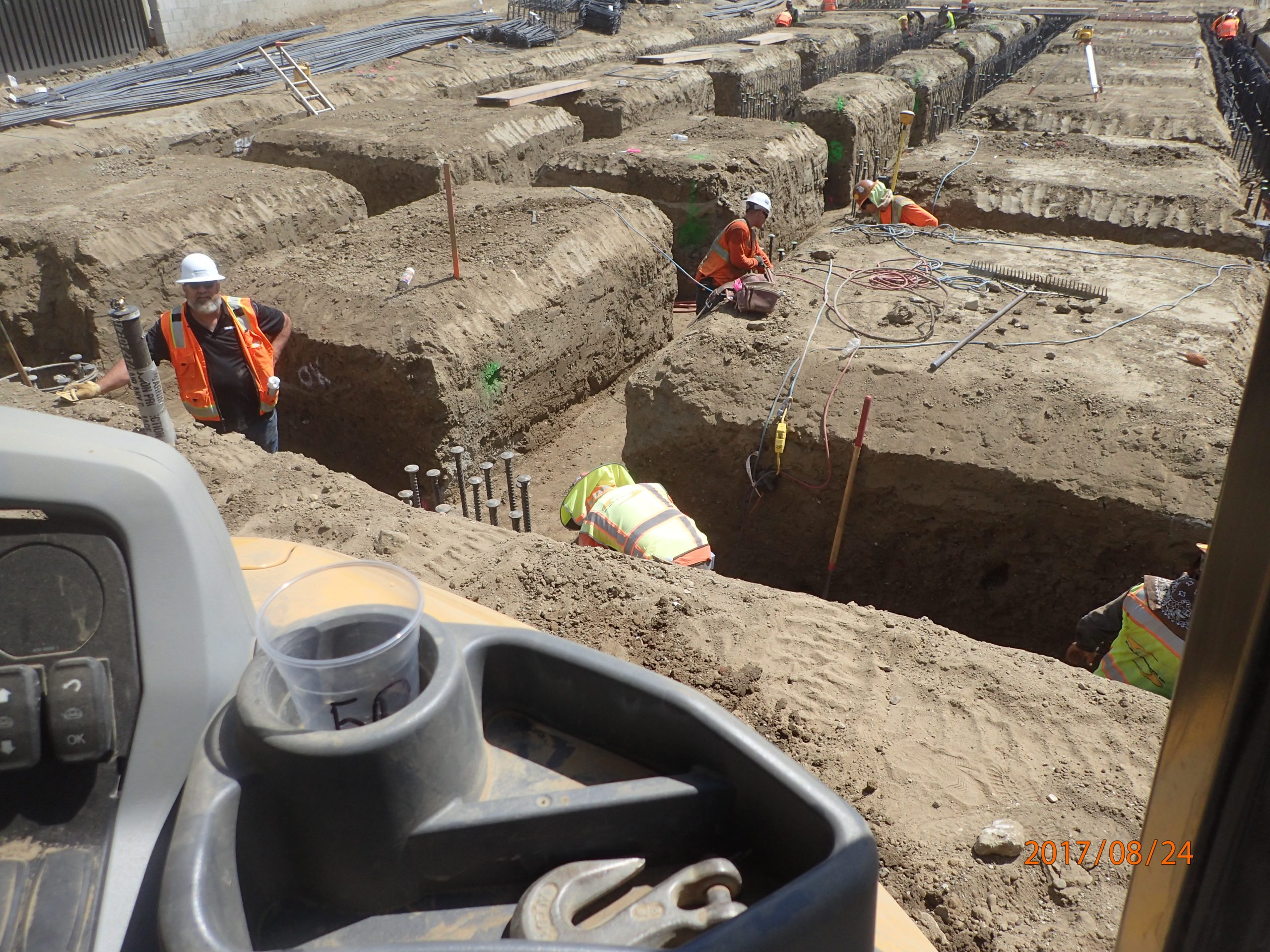
Even before adopting Trimble Stratus, Salsbury was very keen on collecting as much data as possible for the amount of material moved, depth of excavations, and finished grading tolerances. To accomplish this they conducted conventional surveying by going out to the worksite with a GPS and either hand shooting points or attaching the GPS to a backpack and walking the site or driving it in a vehicle. This was very time consuming and occasionally the survey team would miss a windrow top or toe or overlook an area of one of their more complex sites. Furthermore, it wasn’t always feasible or safe to manually capture data or climb down into the excavation of some sites.
“We’ve always tried to push for high accuracy,” explained Jon. “But there always seemed to be some pieces of data missing. That finally drove us to consider a drone survey solution.”
Onboarding Trimble Stratus
Salsbury began looking at a few drone mapping solutions, but in the end, they were really attracted to the turnkey nature of Trimble Stratus. They also began using Propeller’s AeroPoints, which allow for shorter drone flight times and more robust positioning data for their surveys. After their flights, they simply upload their survey data to Trimble Stratus and obtain accurate site models along with easy-to-use reports, which frees up valuable time for the project teams. They now have been able to concentrate more time on reviewing their processed data and making sound business decisions.
“The platform is just great,” Jon shared. “The speed with which reports are turned around and the accuracy of the data have been extraordinary. Also Trimble Stratus’ user interface is light years beyond a lot of other software solutions out there. It’s much easier for us to use.”
Boosting Business
Salsbury has been using Trimble Stratus for nearly a year and is rapidly deploying the solution to as many of their projects as possible. Since quality control has become such an important factor in the industry, Jon shared that ensuring Salsbury’s excavation work is completed to the full extent for documentation is crucial. For him, the key takeaways have been the precise data Trimble Stratus delivers and it’s ease of use—almost everyone operationally at Salsbury is using the Trimble Stratus data in their decision making. Also, the company’s rework on projects has been greatly reduced, resulting in more financially successful projects.
“Really, the level of data fidelity has been phenomenal,” Jon stated. “We were pretty savvy before. But now, we can see the exact elevations coming through for our benchmarks, and we know this data is solid. Having accurate quantities also allows us to go back through and actually check against our bids. We can tell if we’re either way ahead of the game or if we need another piece of equipment on the site.”
For earthworks companies considering a drone survey solution Jon recommends Trimble Stratus, Powered by Propeller. Adopting the platform has been more cost effective, faster, and safer for Salsbury than conventional surveying.
“I’d say whatever surveying or grade checking you may be doing in your business now, you’ll get nearly 100 times the amount of data points using Trimble Stratus.”