
Foundations of Drone Surveying Course – Get Training in UAV Surveying
Propeller partner UAVAIR provides CASA-certified training to drone professionals. They recently added a two-day training course called “Foundations of UAV Surveying” to their curriculum, which covers aerial survey theory and applications of drone mapping and includes learning how to use AeroPoints and the Propeller Platform.
Accredited professional training courses from organizations like UAVAIR can contribute significantly to maturing our industry and building recognition of drone surveying as a profession.
Interestingly, UAVAIR are also helping NSW high school students study aerial mapping, creating a new generation of future drone surveying professionals.
Our friends at UAVAIR have shared these photos from the first session of this new course.
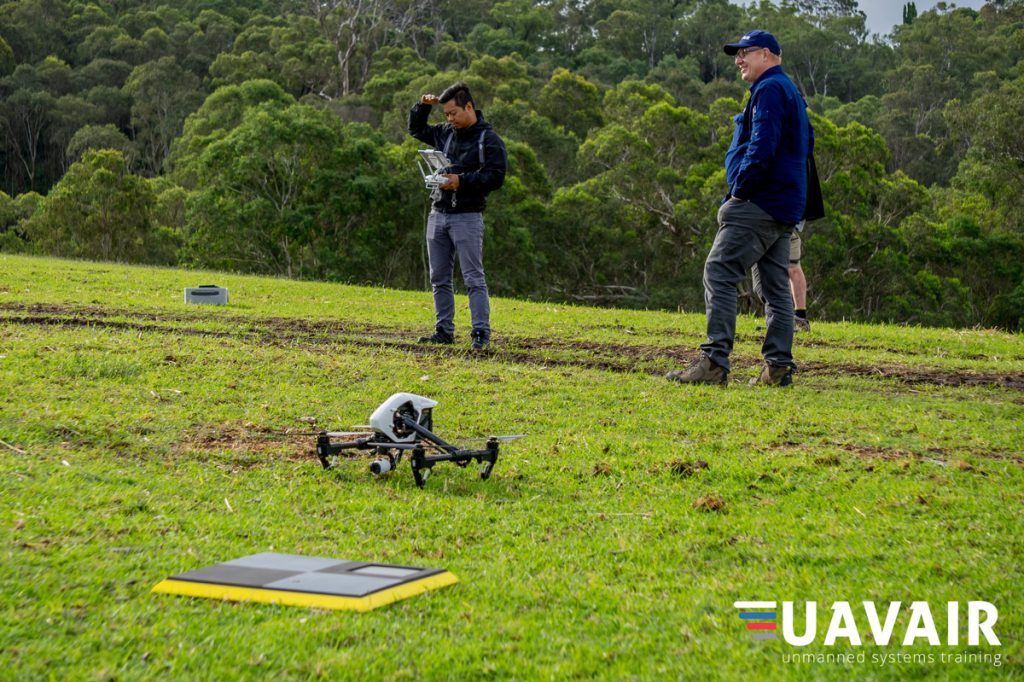

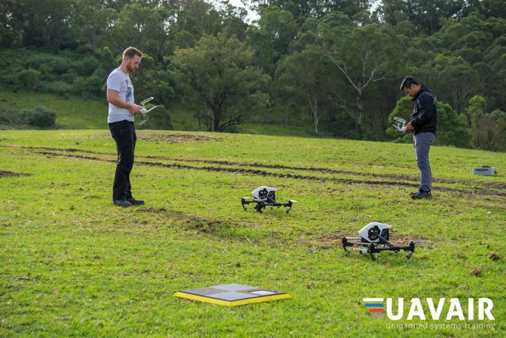

You can see from them that AeroPoints are not only an integral component of getting accurate drone data but make great landing pads for any small birds that happen to pass by.
Visit UAVAIR website for more information about the course.


