Mastering Foundations of Drone Surveying

Read Time: 2 mins
Quick links
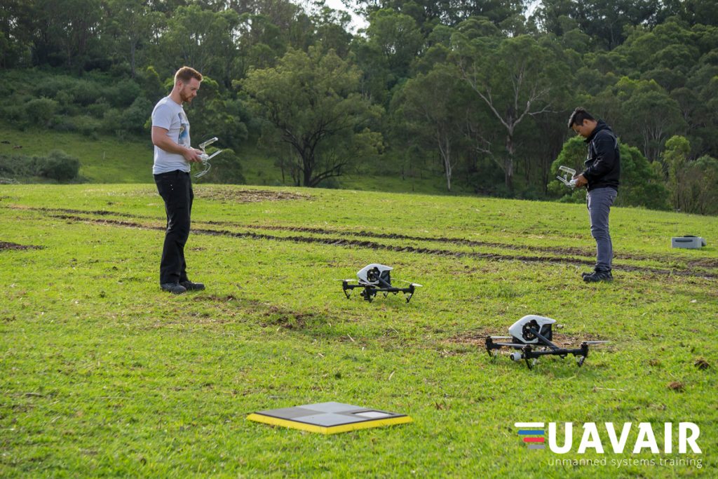
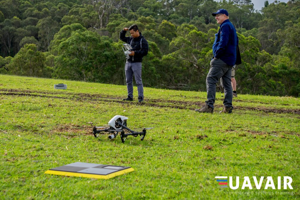
    Two drone pilots in a field ready to start a flight. AeroPoint is in the foreground.

    Foundations of Drone Surveying Course – Get Training in UAV Surveying

    Propeller partner UAVAIR provides CASA-certified training to drone professionals. They recently added a two-day training course called “Foundations of UAV Surveying” to their curriculum, which covers aerial survey theory and applications of drone mapping and includes learning how to use AeroPoints and the Propeller Platform.

    Accredited professional training courses from organizations like UAVAIR can contribute significantly to maturing our industry and building recognition of drone surveying as a profession.

    Interestingly, UAVAIR are also helping NSW high school students study aerial mapping, creating a new generation of future drone surveying professionals.

    Our friends at UAVAIR have shared these photos from the first session of this new course.
    UAVAIR drone survey course

    UAVAIR drone survey course

    UAVAIR drone survey course

    UAVAIR drone survey course

    You can see from them that AeroPoints are not only an integral component of getting accurate drone data but make great landing pads for any small birds that happen to pass by.bird sitting on the AeroPoints ground control points

    Visit UAVAIR website for more information about the course.

    Quick links

      Related articles

      Quarry Manager’s Guide to Drones

      In the last few years, drones have become an affordable tool for worksites. Unlike traditional…
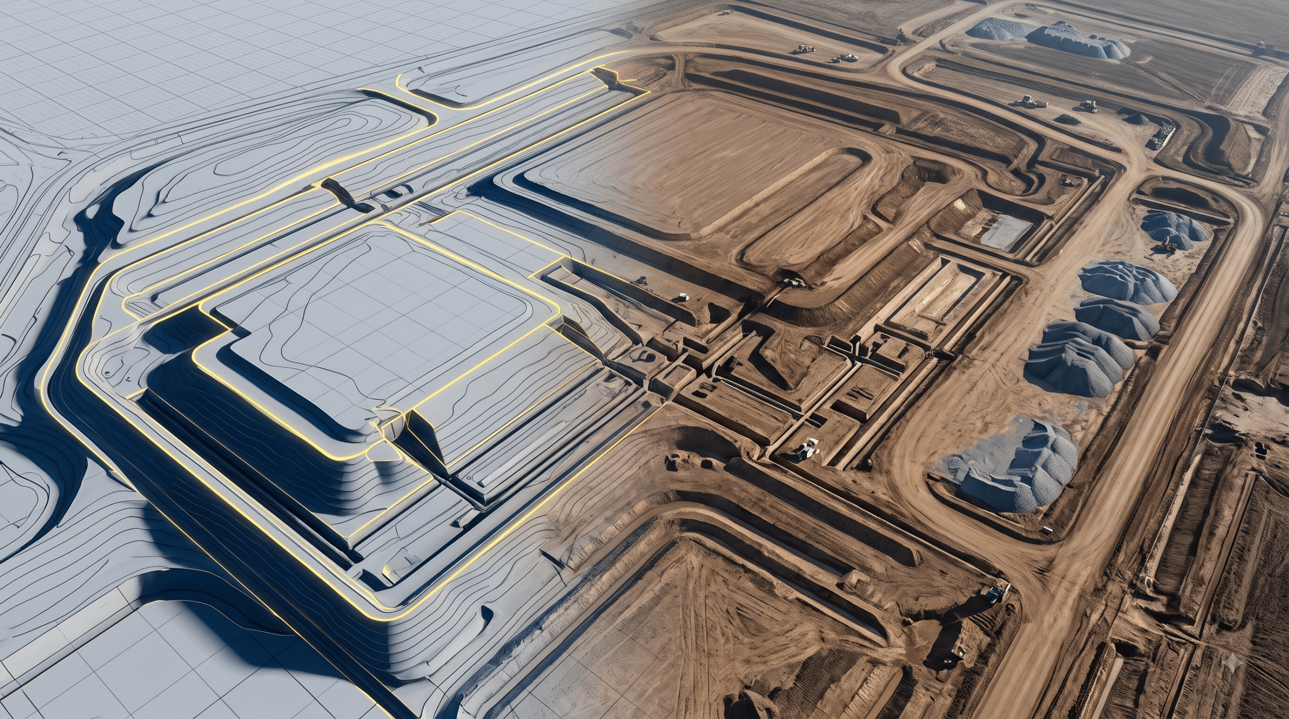
      Aerial 3D render of a data center construction site with graded earth, utility trenches, and drainage controls transitioning into a digital site map

      The data center environmental risk contractors can actually control

      Data center projects move fast, disturb large areas, and invite scrutiny over how teams manage…
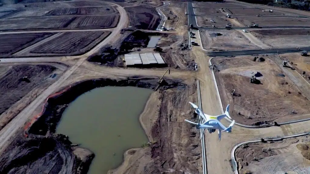
      An aerial photo from one drone looking down at a second drone flying above earth earth-moving site.

      Five Points You Should Know about Drone Data Accuracy

      Over the past several years drones have fundamentally changed the way construction and earthworks companies…

      Ready to learn how Propeller can power up your worksite?

      We’re happy to show you how Propeller can power your worksite, and boost productivity.

      Related articles

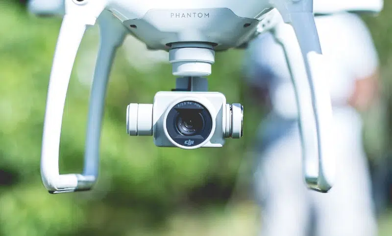
      Close-up photo of a Phantom drone and DJI lens.

      What Makes a Good Drone Camera?

      The variety of cameras available in the drone world may seem overwhelming. New models are…

      DJI GS Pro: Drone Mission Planning

      GS Pro (Ground Station Pro) is the latest app developed by DJI to plan and…
      A drone pilot stood holding an Aero Stencil.

      Marking Semi-Permanent GCPs with AeroPoints and AeroStencils

      Do you fly the same site frequently? If so, you can save the time spent…