Why Propeller?
Industries
Construction
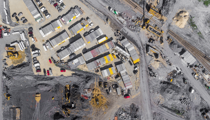
Aggregates + Mining
Waste Management
Survey + Engineering
Workflows
Map
Make data and survey processing simple.
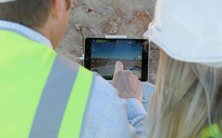
Measure + Manage
Access insights and manage your site like never before.
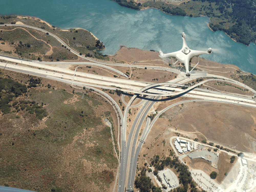
PPK Drone Mapping
Capture, process, and correct survey-grade drone data.
People
Culture + Values
Founders + Board
Open roles
Solutions
PLATFORM
Propeller
A cloud-based workspace where you can map, measure, and manage your site.
Hardware
AeroPoints
DirtMate
Drones + Sensors
Data Services
Photogrammetry Processing
Lidar Processing
Resources
Connect
Training + Support
Learn
Customer Stories
Resource Center
Knowledge Base
English
Deutsch
Login
Contact us
Contact us
Login
Why Propeller?
Industries
Construction
Aggregates + Mining
Waste Management
Survey + Engineering
Workflows
Map
Make data and survey processing simple.
Measure + Manage
Access insights and manage your site like never before.
People
Culture + Values
Founders + Board
Open roles
Solutions
PLATFORM
Propeller
Hardware
AeroPoints
DirtMate
Drones + Sensors
Data Services
Photogrammetry Processing
Lidar Survey Processing
Resources
Connect
Training + Support
Learn
Customer Stories
Resource Center
English
Deutsch
Meet Your Salesperson: Grant Tallmadge
Meet Your Salesperson: Cam Bentley
How Does Better Data Capture Make the Role of the Surveyor on Site More Important Than Ever?
Using Drones in Construction: The Beginner’s Guide
2019 Construction Industry Trends and Predictions
How to Set Up Your Camera on GS Pro
How to Batch Geotag Drone Survey Photos with Exiftool
Part 107 Renewal Q&A: What You Learn After Two Years of Flying
Construction Site Report Examples and Our Easy Sharing Workflow
Starting a Drone Program on Site: the Drone Regulations You Need to Know
Previous
1
2
3
4
5
6
7
8
Next
Menu