Why Propeller?
Industries
Construction
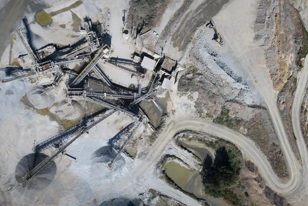
Aggregates + Mining
Waste Management
Survey + Engineering
Workflows
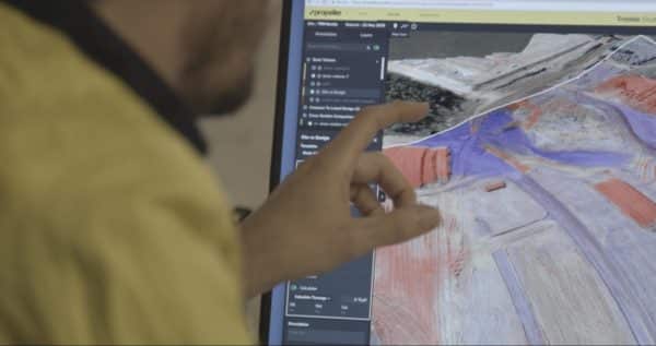
Map
Make data and survey processing simple.
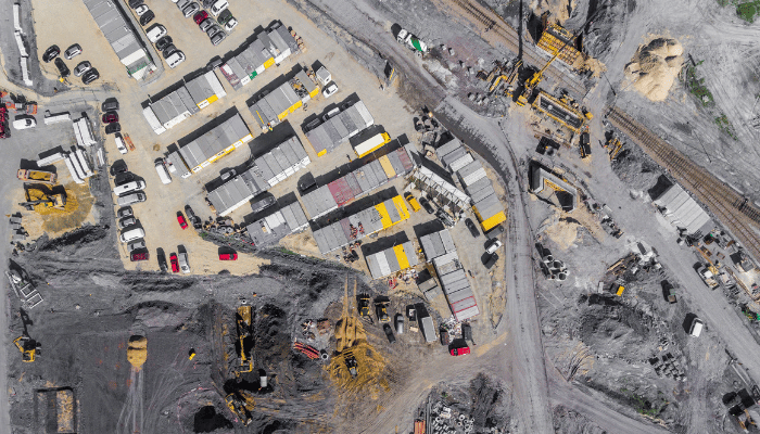
Measure + Manage
Access insights and manage your site like never before.
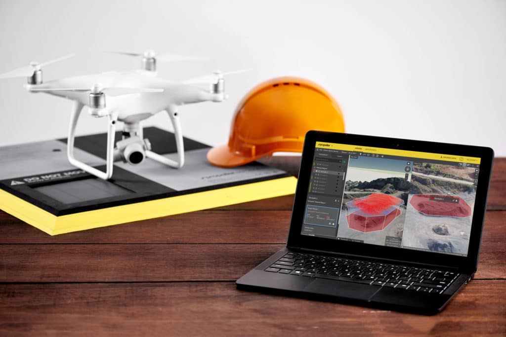
PPK Drone Mapping
Capture, process, and correct survey-grade drone data.
People
Culture + Values
Founders + Board
Open roles
Solutions
PLATFORM
Propeller
A cloud-based workspace where you can map, measure, and manage your site.
Hardware
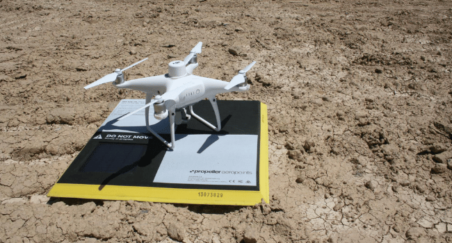
AeroPoints
DirtMate
Drones + Sensors
Data Services
Photogrammetry Processing
Lidar Processing
Resources
Connect
Training + Support
Learn
Customer Stories
Resource Center
Knowledge Base
Webinars
English
Deutsch
Login
Contact us
Contact us
Login
Why Propeller?
Industries
Construction
Aggregates + Mining
Waste Management
Survey + Engineering
Workflows
Map
Make data and survey processing simple.
Measure + Manage
Access insights and manage your site like never before.
People
Culture + Values
Founders + Board
Open roles
Solutions
PLATFORM
Propeller
Hardware
AeroPoints
DirtMate
Drones + Sensors
Data Services
Photogrammetry Processing
Lidar Survey Processing
Resources
Connect
Training + Support
Learn
Customer Stories
Resource Center
English
Deutsch
Inside Look: How Propeller’s Data QA Works
How to Batch Geotag Drone Survey Photos with Exiftool
Construction Site Report Examples and Our Easy Sharing Workflow
How to Submit GCP and Checkpoint Data in Propeller
Choosing Drone Hardware and Software for Your Drone Program
Quarry Manager’s Guide to Drones
Manage Tailings Dams Better with Drone Surveying
What Goes Into The Average Drone Surveying Workflow?
Mining Superintendent’s Guide to Drones
End-of-Month Reconciliation on Your Quarry with Drone Technology
Previous
1
…
12
13
14
15
16
17
Next
Menu