Why Propeller?
Industries
Construction
Aggregates + Mining
Waste Management
Survey + Engineering
Workflows
Map
Make data and survey processing simple.
Measure + Manage
Access insights and manage your site like never before.
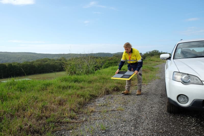
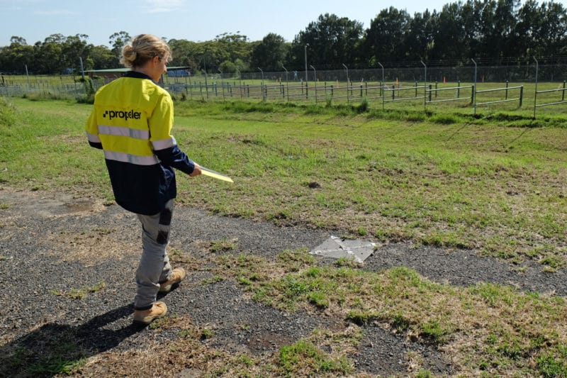
PPK Drone Mapping
Capture, process, and correct survey-grade drone data.
People
Culture + Values
Founders + Board
Open roles
Solutions
PLATFORM
Propeller
A cloud-based workspace where you can map, measure, and manage your site.
Hardware
AeroPoints
DirtMate
Drones + Sensors
Data Services
Photogrammetry Processing
Lidar Processing
Resources
Connect
Training + Support
Learn
Customer Stories
Resource Center
Knowledge Base
Webinars
English
Deutsch
Login
Contact us
Contact us
Login
Why Propeller?
Industries
Construction
Aggregates + Mining
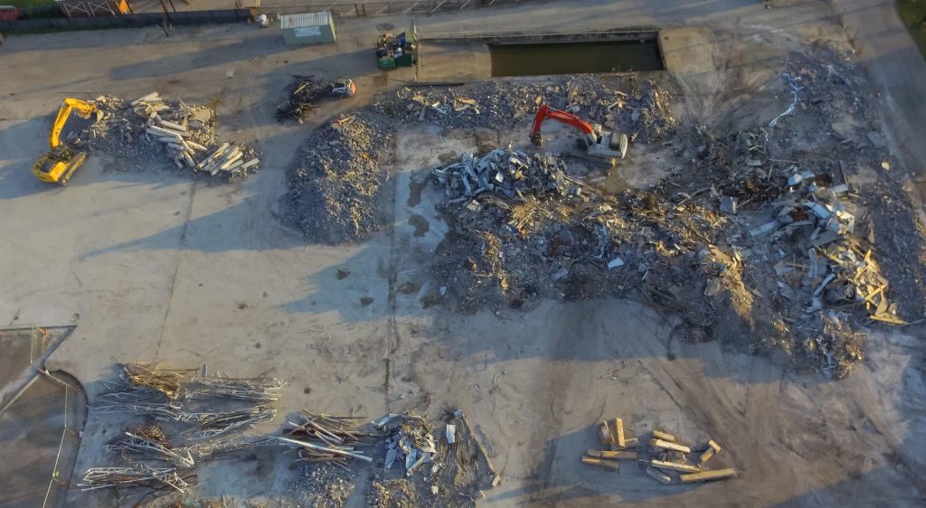
Waste Management
Survey + Engineering
Workflows
Map
Make data and survey processing simple.
Measure + Manage
Access insights and manage your site like never before.
People
Culture + Values
Founders + Board
Open roles
Solutions
PLATFORM
Propeller
Hardware
AeroPoints
DirtMate
Drones + Sensors
Data Services
Photogrammetry Processing
Lidar Survey Processing
Resources
Connect
Training + Support
Learn
Customer Stories
Resource Center
English
Deutsch
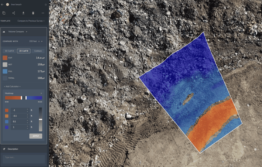
3cm Landfill Liner Breach Detected with Accurate As-Builts, Drone Data Visualization
Using Drones for Waste Management: The Beginner’s Guide
Six Questions to Ask About Drone Surveying Platforms Before You Buy
Using Propeller, Drone Surveying for Smarter Pre-bid Topos at Phoenix-based Buesing Corp.
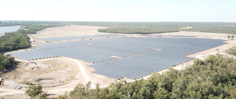
How AirBorn Insight is Using Drone Survey Data on Large, High-value Solar Farm Developments
How to Convert DWG/DXF Files to GeoTIFF
What’s the Difference Between Self-Processed Surveys and Propeller’s Workflow?
Calculating Remaining Airspace for Your Landfill with Cut/Fill Maps
How Propeller’s Volume Measurement Tools Work
Measuring Cut and Fill in Mining and Aggregates
Previous
1
…
11
12
13
14
15
16
17
Next
Menu