Why Propeller?
Industries
Construction
Aggregates + Mining
Waste Management
Survey + Engineering
Workflows
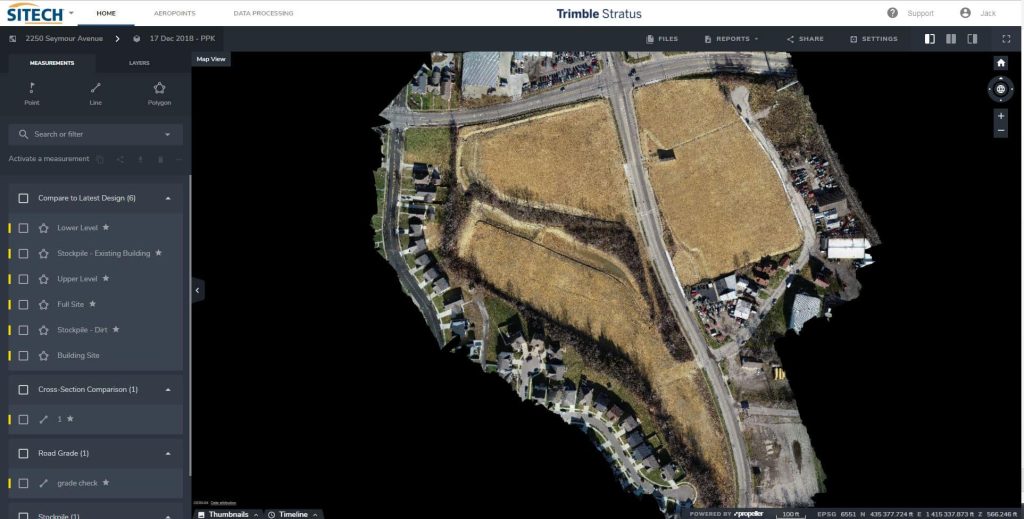
Map
Make data and survey processing simple.
Measure + Manage
Access insights and manage your site like never before.
PPK Drone Mapping
Capture, process, and correct survey-grade drone data.
People
Culture + Values
Founders + Board
Open roles
Solutions
PLATFORM
Propeller
A cloud-based workspace where you can map, measure, and manage your site.
Hardware
AeroPoints
DirtMate
Drones + Sensors
Data Services
Photogrammetry Processing
Lidar Processing
Resources
Connect
Training + Support
Learn
Customer Stories
Resource Center
Knowledge Base
English
Deutsch
Login
Contact us
Contact us
Login
Why Propeller?
Industries
Construction
Aggregates + Mining
Waste Management
Survey + Engineering
Workflows
Map
Make data and survey processing simple.
Measure + Manage
Access insights and manage your site like never before.
People
Culture + Values
Founders + Board
Open roles
Solutions
PLATFORM
Propeller
Hardware
AeroPoints
DirtMate
Drones + Sensors
Data Services
Photogrammetry Processing
Lidar Survey Processing
Resources
Connect
Training + Support
Learn
Customer Stories
Resource Center
English
Deutsch
Propeller Turns Five: Looking Back at The Last Five Years
How Propeller Helps PMs Do Construction Pay Apps Faster
Women in Construction Q&A: Morgan Corp.’s Tiffany Sullivan
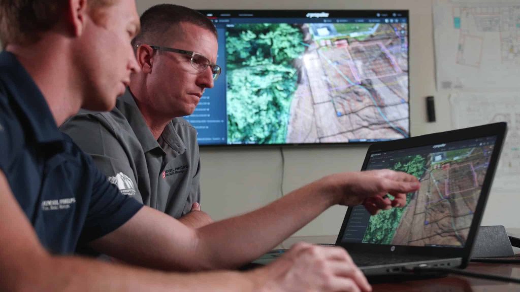
Hensel Phelps Is Using Propeller to Track Earthwork, Share Data on Hawaii State Hospital Build
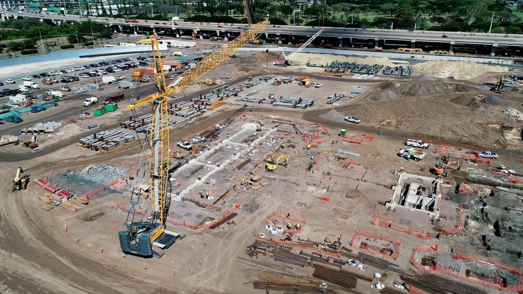
Hensel Phelps Uses Propeller to Visualize, Manage Hawaii’s Daniel K. Inouye Airport Jobsite in 3D
Kansas-based Hamm Companies Saves Surveying and Data Processing Time with Propeller
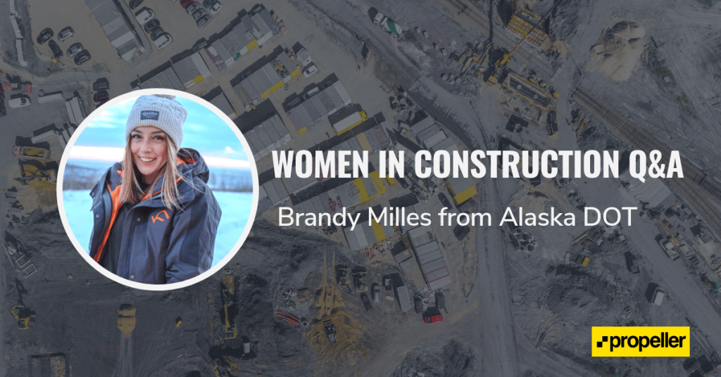
Women in Construction Q&A: Alaska DOT’s Brandy Milles
10 Ways Drone Data and Earthwork Software Can Make Your Next Project a Success
Ohio-based Sunesis Construction Uses Trimble Stratus for Tracking Earthwork and More
How Up-to-Date Construction Data is Improving Worksite Operations
Previous
1
2
3
4
5
6
7
Next
Menu