What does new technology adoption, efficiency improvements, and industry progress have in common? You. These things are only achieved thanks to the hard work of industry leaders, technology champions, and everyday people working in construction, mining, aggregates, and waste management.
With that in mind, we’re showcasing a few of these individuals to learn how they’re changing the way their company works for the better. Today, we speak to Brandy Milles who’s an engineer technician with the Alaska Department of Transportation.
Can you tell me about your role at Alaska DOT?
I work in the construction administration section, running a laboratory testing construction materials and leading a support team performing specialty support functions for various construction projects in area slightly larger than the state of Texas.
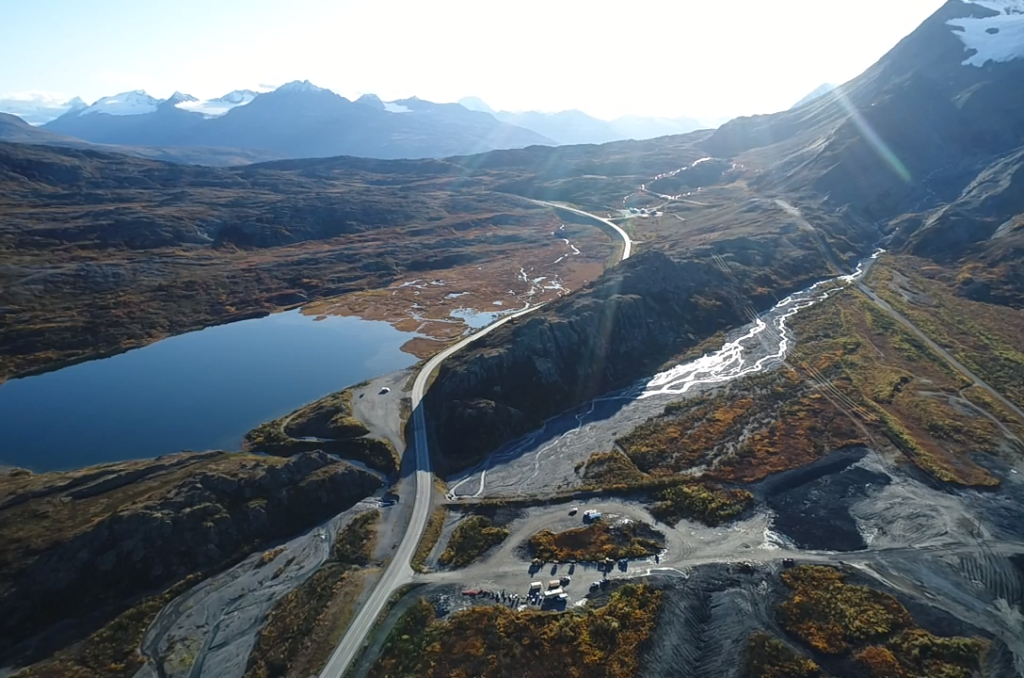
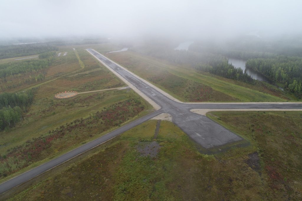
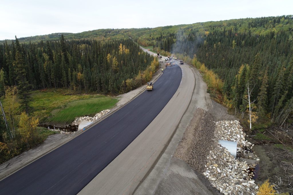
We, as Alaska Department of Transportation and Public Facilities (AK DOT&PF), design, rebuild, and maintain many roads, airports, and various public facilities throughout our state. In my support capacity, I work with many projects types and their staff by providing calibrated testing and inspection equipment; materials and inspection guidance; and responding to callouts for onsite material testing and inspection activities. I also do coaching and training for newer engineering staff along the way and help provide equipment to perform the tasks. This includes providing sUAs (drones) and GPS equipment to project staff, training users, and filling in with roaming support as needed.
I’ve been in my current role for two and a half years—with the state for five. When I applied for a job, I did not know what I was getting myself into, but I liked it. You’re building trust and relationships with the public.
What is your career background?
A little bit of everything: worked in restaurants, jewelry stores, and generally floated around while paying for school and whatever was happening in life.
When I started with the State, they put me in charge of all kinds of things, which allowed me to grow pretty quickly and meet a lot of people. Today, I definitely don’t know everything, but I usually know how to find an answer or the right person to ask.
There aren’t many women in construction. What advice would you give women who are looking to enter the field?
You can do anything you put your mind to. Since my first year in the industry, I’ve seen construction changing. It’s still a male-driven field, but I’ve noticed more women out in the field over the past few years.
If you’re interested in a career in construction, I say do it. Don’t be afraid to jump in.
Why did the DOT look into using drones for surveying?
AK DOT&PF was first exposed to drones when an outside organization brought one to a bridge inspection to demonstrate the value of the equipment. It didn’t go well, but the idea got talked about.
My region got its first taste during some GPS training, when the trainer decided to take a break and show off some new technology. They did a demonstration flight and showed us how photogrammetry software could quickly provide a 3D model for measurements.
When I started, we had a drone but no one certified to fly. Shortly thereafter, the FAA Part 107 came out and they said, “Brandy, go take the test.” I got certified and was sent out on projects to “use the drone.” It was quite the learning experience.
Quickly, we found how useful it was for documentation and progress reporting. I was sending weekly updates back to our home office more than 300 miles away. From there, we started with photogrammetry and tested out processing imagery ourselves with a few different software trials.
We were aware of companies doing remote photogrammetry processing, but we were concerned about an approach that relied upon internet uploads, as many of our project sites are remote, in areas where satellite internet is the only option.
But we quickly learned that processing photogrammetry ourselves was hard. It’s time consuming, expensive, and difficult to figure out what to do when something went wrong with the processing. That’s why we started looking for a processing company and came upon Propeller.
How do you use Propeller in your work?
It’s ever expanding. We still use it for inspections and overall photos. We work with a lot of different sections within AK DOT&PF—Construction, Design, Environmental, Maintenance Engineering; Hydrology & Geology, Traffic Data, Public Relations, etc.—as well as other state and federal agencies, private engineering firms, and construction contractors. Sharing data is key.
Our environmental department uses drone imagery to make decisions about tree species and environmental conditions. Project engineers view and sign off on quantities and locations of material. We’re able to share this data easily with contractors through the Propeller Platform.
And, last winter Alaska saw a great case for future usage in engineering response to natural disasters like the 7.0-magnitude earthquake that hit outside Anchorage, damaging roads, overpasses, buildings, and other infrastructure.
In general, having site imagery and documentation allows us to mark the boundaries of a road or a pit, or areas that we shouldn’t be disturbing such as private property or sensitive wetlands. It’s easier to communicate with someone if you have an image, with lats and longs connected to them. (This year, we’re experimenting with local grid coordinates, so we can connect and overlay our design work into the 3D models.)
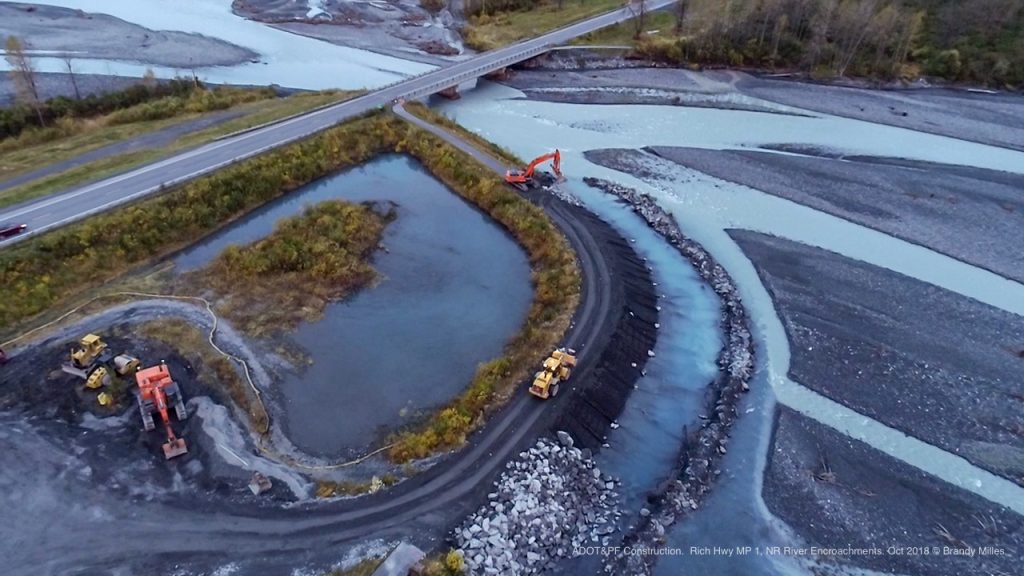
One example, as part of improving safety in our region, is that we’re enhancing our guardrail in sections over a couple thousand miles of highway. Flying this area and modeling it within Propeller lets our designer use heat-map tools to focus on excessively steep foreslope grades for whole section of guardrail in a few clicks. Before Propeller, we’d have to use low-detail Google Earth imagery, make spot-checks with an inclinometer, and eyeball it to make a judgement.
Having the empirical data—and being able to share it with colleagues and bosses—to show why you made a specific decision is one of the biggest benefits we’ve seen.
What do you wish you’d known before starting to work with drone and Propeller?
A better understanding of airspace regulations. When it came to flight planning, I had no coaching on how airspace worked and no background in aviation. It was a huge learning curve. Now, I preach prep work and a good preflight checklist.
What’s an example of how drones and Propeller have made typical tasks easier or more efficient?
A recent project I flew was out in a small remote village. Before you can start disturbing the environment, permits need to be in place, which take an environmental analyst months to get all the data together. This specific flight was done near a material site they would be blasting into a hillside. We needed to make sure we would not be disrupting any eagle nests nearby.
Getting to hard-to-get-to places without putting someone in an unsafe situation has not only improving safety but saves time and money. Before, expensive helicopter time would have to be scheduled to do recon; with that, you get one flight and hope you saw everything.
Drone surveyingalso lends an objectivity we didn’t have before. Not only can you provide high-quality, low-elevation video, with practically no additional time on site, you can also produce a three-dimensional model from which points of interest can be identified and exported for easy, geographically accurate communication to concerned parties.
What was the learning process around using Propeller?
Recently, our customer success rep Milo gave a training session for surveyors, maintenance folks, designers, and many people who fly drones in one way or another.
Otherwise, it’s been a one-on-one process where myself or another experienced drone pilot, will sit down with the individual(s) and help them explore the tools and functionality within the platform.
In general, the interface is super friendly. If you can use Google Earth, you can use Propeller. For more complicated tasks, we definitely tap into the customer success team and Help Center.
How do you see the construction industry changing in the next five years?
I see a continued push into e-construction and digitalization. Sometimes we’re required to keep files for ten years or longer to comply with auditing regulations for a funding source or with a particularly contentious contract. In recent years, we’ve been pushing less paper overall and made huge strides in digitizing mandatory records.
As technology continues to develop—whether it’s with tracking your work or taking GPS measurements in the field—the industry is going to follow. Even with drones alone, I can see our uses expanding like crazy. Cost and weather are our only big limitations.