Why Propeller?
Industries
Construction
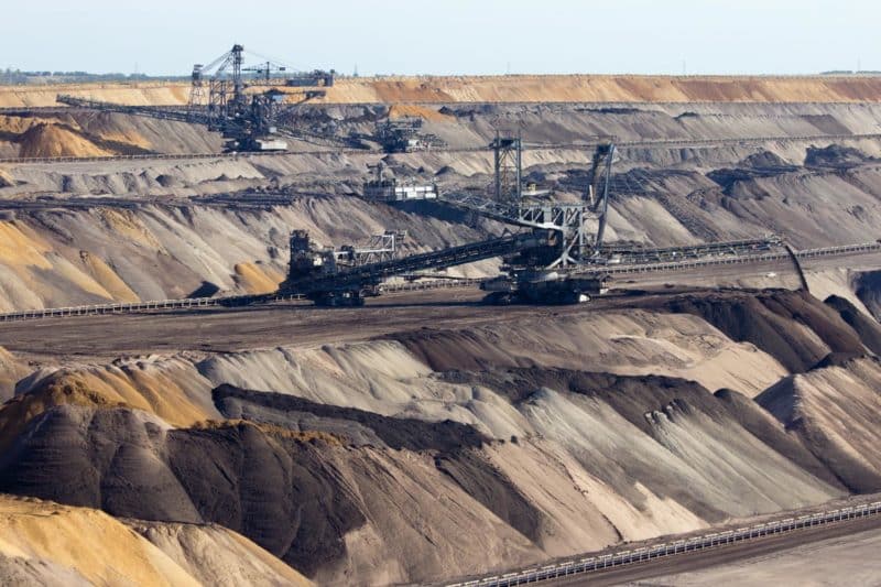
Aggregates + Mining
Waste Management
Survey + Engineering
Workflows
Map
Make data and survey processing simple.
Measure + Manage
Access insights and manage your site like never before.
PPK Drone Mapping
Capture, process, and correct survey-grade drone data.
People
Culture + Values
Founders + Board
Open roles
Solutions
PLATFORM
Propeller
A cloud-based workspace where you can map, measure, and manage your site.
Hardware
AeroPoints
DirtMate
Drones + Sensors
Data Services
Photogrammetry Processing
Lidar Processing
Resources
Connect
Training + Support
Learn
Customer Stories
Resource Center
Knowledge Base
Webinars
English
Deutsch
Login
Contact us
Contact us
Login
Why Propeller?
Industries
Construction
Aggregates + Mining
Waste Management
Survey + Engineering
Workflows
Map
Make data and survey processing simple.
Measure + Manage
Access insights and manage your site like never before.
People
Culture + Values
Founders + Board
Open roles
Solutions
PLATFORM
Propeller
Hardware
AeroPoints
DirtMate
Drones + Sensors
Data Services
Photogrammetry Processing
Lidar Survey Processing
Resources
Connect
Training + Support
Learn
Customer Stories
Resource Center
Webinar
English
Deutsch
Using Drones in Construction: The Beginner’s Guide
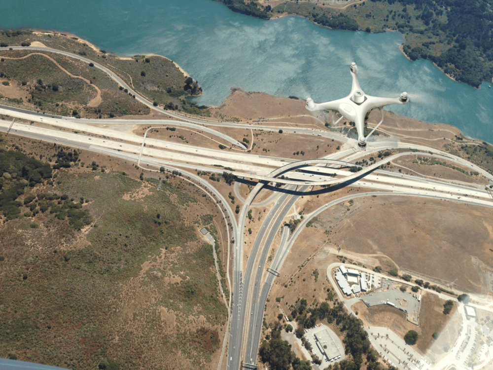
Sukut Is Using Propeller to Save Time, Money on California Dam Project
Six Questions to Ask About Drone Surveying Platforms Before You Buy
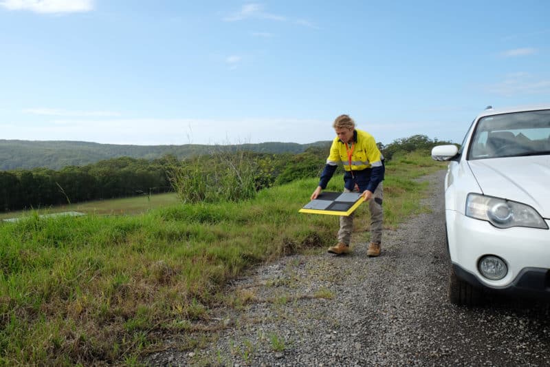
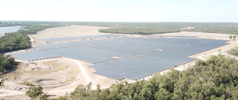
How AirBorn Insight is Using Drone Survey Data on Large, High-value Solar Farm Developments
What’s the Difference Between Self-Processed Surveys and Propeller’s Workflow?
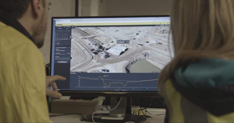
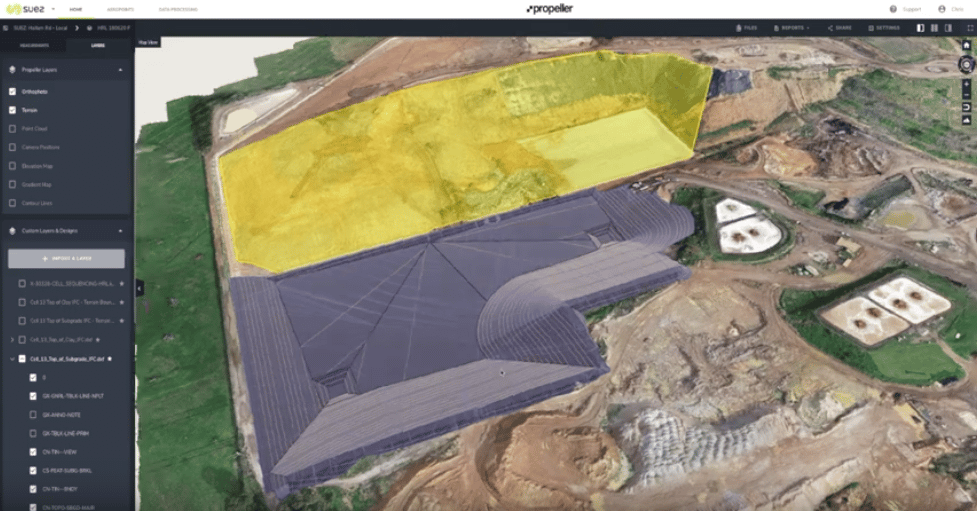
Suez Uses Drone Data to Improve Performance at Hallam Road Landfill in Victoria
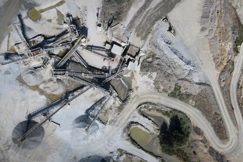
End-of-Month Reconciliation on Your Quarry with Drone Technology
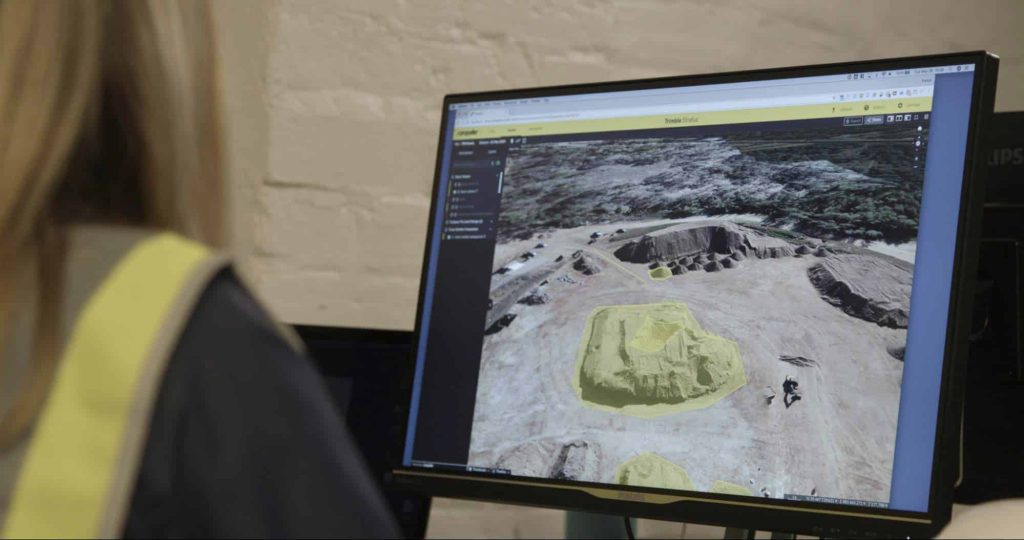
How Terrain Filtering Makes Your Drone Surveys More Accurate
Improve Your Mine Management with Drone Mapping and Analytics
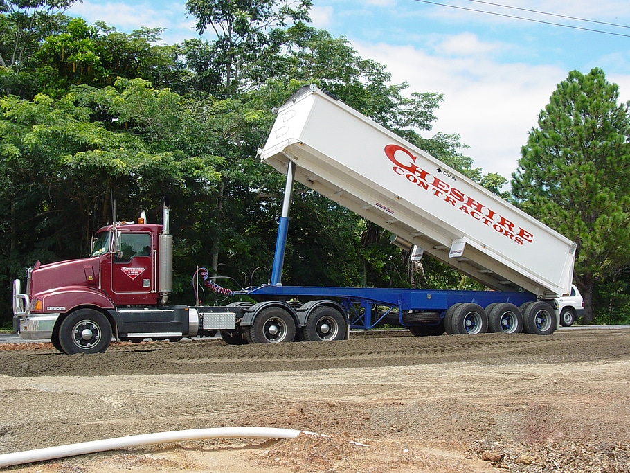
How 3D Drone Survey Data is Helping Queensland-based Cheshire Contractors Scale Their Business
Previous
1
…
7
8
9
10
11
Next
Menu