Why Propeller?
Industries
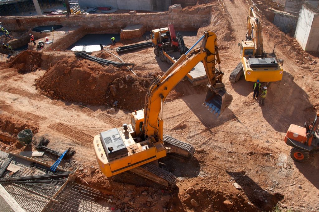
Construction
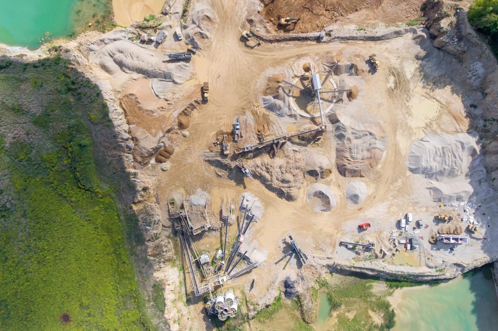
Aggregates + Mining
Waste Management
Survey + Engineering
Workflows
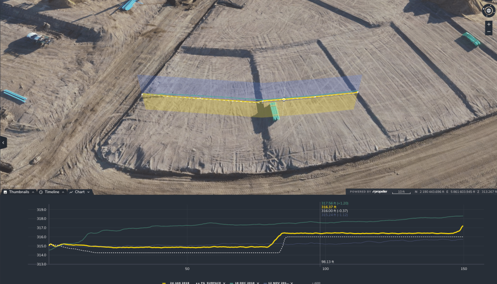
Map
Make data and survey processing simple.
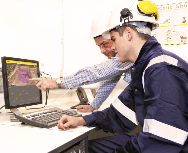
Measure + Manage
Access insights and manage your site like never before.
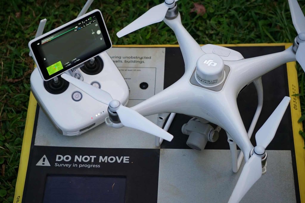
PPK Drone Mapping
Capture, process, and correct survey-grade drone data.
People
Culture + Values
Founders + Board
Open roles
Solutions
PLATFORM
Propeller
A cloud-based workspace where you can map, measure, and manage your site.
Hardware
AeroPoints
DirtMate
Drones + Sensors
Data Services
Photogrammetry Processing
Lidar Processing
Resources
Connect
Training + Support
Learn
Customer Stories
Resource Center
Knowledge Base
English
Deutsch
Login
Contact us
Contact us
Login
Why Propeller?
Industries
Construction
Aggregates + Mining
Waste Management
Survey + Engineering
Workflows
Map
Make data and survey processing simple.
Measure + Manage
Access insights and manage your site like never before.
People
Culture + Values
Founders + Board
Open roles
Solutions
PLATFORM
Propeller
Hardware
AeroPoints
DirtMate
Drones + Sensors
Data Services
Photogrammetry Processing
Lidar Survey Processing
Resources
Connect
Training + Support
Learn
Customer Stories
Resource Center
English
Deutsch
The Benefits of 3D Modeling throughout the Construction Project Lifecycle
Construction Cost Overruns: 5 Tips to Keep Your Budget on Track
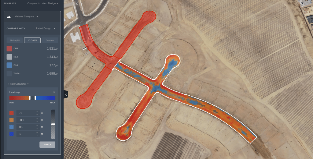
How to Use Drones to Measure Stockpiles and Track Volumes More Accurately
Increase Worksite Safety with Drone Technology
How to Convert DWG to KML and DXF to KML
California’s Whitaker Construction Tackles Complex Projects, Stays Cutting-Edge with Propeller
How PPK Works—And Why It’s the Future of Drone Surveying
Five Ways to Use Drones and Propeller for Road Construction Surveying
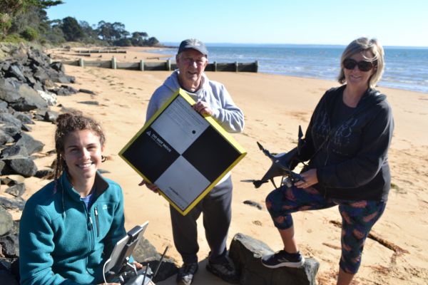
Drones for Good: How Deakin University Uses Propeller to Monitor Australia’s Shorelines
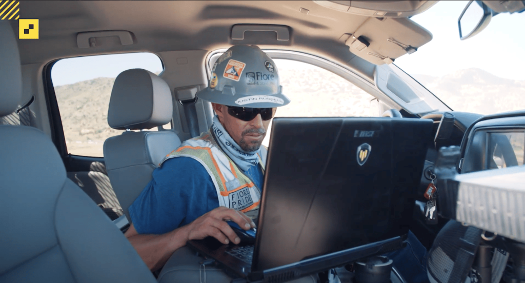
Weekly Drone Surveys Solidify Family-Owned Fiore’s Commitment to Accuracy and Project Excellence
Previous
1
2
3
4
5
6
7
…
11
Next
Menu