Deakin University is a public university in Geelong, Australia, dedicated to changing the world through programs that are relevant, innovative, and responsive. Through their research, they aim to solve global challenges, create smarter technology, and improve the health and wellbeing of communities.
For the past two years, a team of researchers led by Deakin’s Associate Professor, Dan Ierodiaconou, have been using Propeller to track and monitor shoreline degradation along Australia’s coast.
At the end of 2020, they were awarded the prestigious Australian Museum Eureka Prize for Innovation in Citizen Science.
The Eureka Prize is referred to in academic circles as “the Oscars of Australian science,” and celebrates excellence in research and innovation.
The team of citizen scientists uses drone photogrammetry to create digital 3D models of the coast, used to better predict how beaches respond to storms and rising sea levels—models so accurate, they can even include footprints.
“It really is a global first,” says University of Melbourne’s Associate Professor, David Kennedy, co-leader of the research team.
Drones and citizen scientists: a match made in research heaven
Associate Professor Ierodiaconou, who is also the co-developer of the Victorian Coastal Monitoring Program (VCMP), said the idea to combine drone technology and citizen science to measure changes in Victoria’s coastline first arose in 2018.
“The program began in 2018, and it’s now grown to 14 groups of citizen scientists trained to undertake the shoreline surveys on Victorian beaches using advanced drone technology,” he says.
“Thanks to the enthusiasm and dedication of our volunteers, we’ve gathered masses of data that’s available to all and making a real difference . . . from citizens using the data to better inform themselves of coastal change to government agencies using it to improve coastal monitoring, and consultants using it for coastal hazard assessments.”
Use of citizen scientists to not only fly the drones, but also to decide when to conduct surveys and analyze the resulting data on Propeller’s cloud platform, make the program the first of its kind in the world.
Says Ierodiaconou of the volunteers, “They really are our eyes and ears on the ground, collecting reliable data and monitoring the changing shape of beaches in their patch. [They] have collected data that has enabled us to generate 3D constructions of beaches and examine impacts—such as coastal erosion and a changing wave climate—and the success of mitigation measures such as beach renourishment activities.”
The data, which is made publicly available for any and all to use, can be leveraged for coastal development and repair projects. It’s also an essential component to understanding the natural cycle of sand, and how material is removed and returned to a beach by natural forces like storms and tides as climate change increases.
“Sand is never lost on a beach,” says Dr. Kennedy. “It simply moves somewhere else and usually comes back.”
Making an impact on Australia’s coastline
Ultimately, the data collected in the award-winning VCMP research project helps coastal managers and communities make better decisions on how to manage Victoria’s coastline.
“You can only begin to see how beaches change, grow or disappear altogether by examining a coastline from above over an extended period of time,” says Ierodiaconou.
In one instance, VCMP data was able to show that more than 5,000 cubic meters of sand was lost across 750 meters of shoreline at Apollo Bay after a storm in October 2018. The ability to measure the erosion impact quickly and accurately made it much easier—and more affordable—to manage a sand renourishment project.
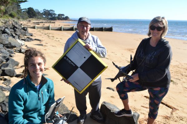
Meredith Lynch, a member of the Cowes East Foreshore Preventative Action Group, said the team has benefited from the ability to access additional data as they work. “We feel it’s a fabulous opportunity to donate our time—helping out the university but also gaining important information for our local community. Learning to fly the drone and run the programs have been a great learning experience.”
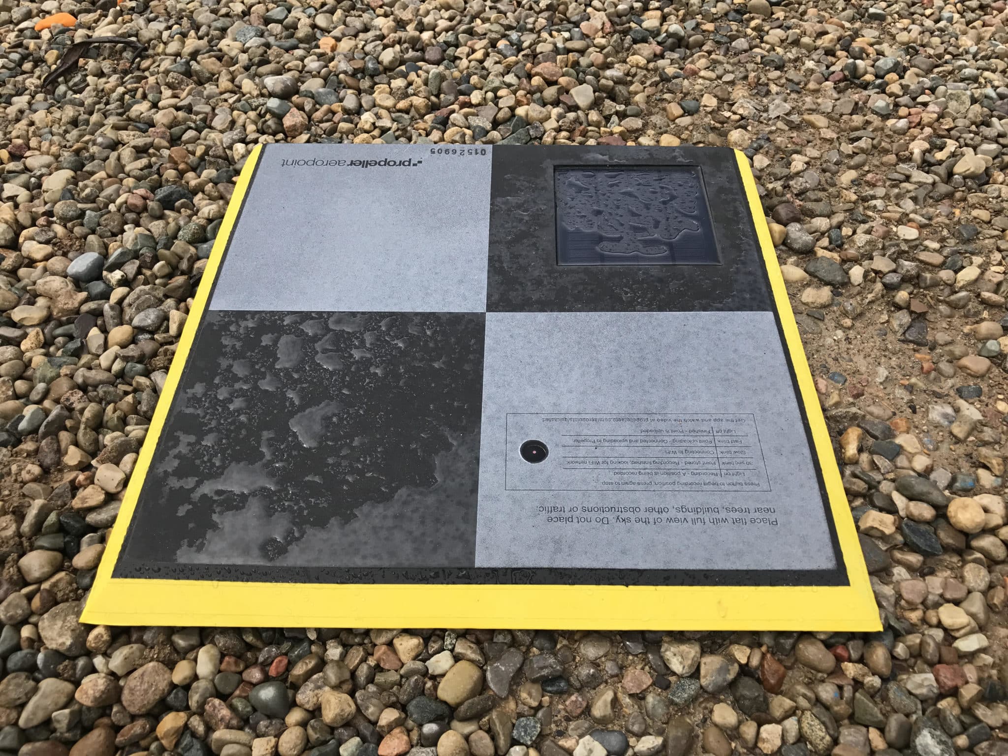
In partnership with Propeller and the Department of Environment, Land, Water and Planning, volunteers are empowered to monitor beach change along Victoria’s coastline, providing managers and consultants with data accurate to within 1/10 ft to inform coastal hazard assessments, mitigation measures, and erosion management policies.
Traditional methods for measuring beaches use conventional surveying equipment, which takes significant time, expense, and expertise to implement. Drone surveys conducted at-will by citizen scientists are not only more affordable than traditional methods, but faster and easier for volunteer scientists to learn.
“Drones are effective because they can provide a rapid survey of the state of the beach, how much sand has been lost, and provide us with excellent 3D close-ups,” says Dr. Kennedy. “We then make data available online to all community groups, who help monitor further changes.”
What’s next for the team—and their drones?
“What really excites me is that we are only just beginning, and there is so much more to come from this program,” says Ierodiaconou.
In five years, they plan to use the program they’ve established along the coast to investigate terrestrial ecosystem management, as well as indigenous farming, before moving on to help countries in the Pacific who are already experiencing rising sea levels due to climate change.
The potential of drone photogrammetry in scientific research is still largely untapped, and the VCMP research project along Victoria’s coastline is just the beginning.