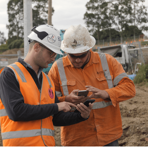
“Propeller is going to save us a lot of time and money on this project. Now, our in-house GIS/grade control coordinator doesn’t have to sit for three hours processing surveys.”

Patrick Schultz
Assistant Project Manager for Grade and Quality Control
“Propeller is going to save us a lot of time and money on this project. Now, our in-house GIS/grade control coordinator doesn’t have to sit for three hours processing surveys.”

“When I’m going on a job walk, it’s pretty hard to say that you’ve walked every piece. With Propeller, it eliminates that risk. It gives you that knowledge without stepping foot on site.”

“We believe that investing in cutting-edge technology is key to staying ahead of the curve, and our partnership with Propeller is a testament to that.”
Customer examples; results vary by project and workflow.
Don’t inherit the owner’s mistakes. Compare current ground surveys against provided topo plans to identify discrepancies in earthwork volumes before you sign the contract.
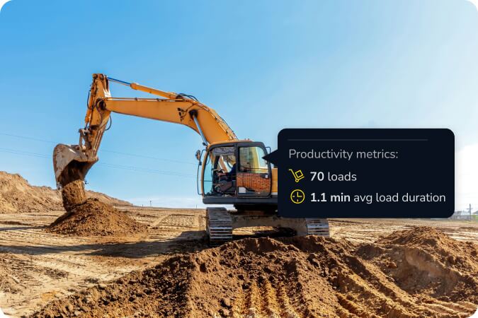
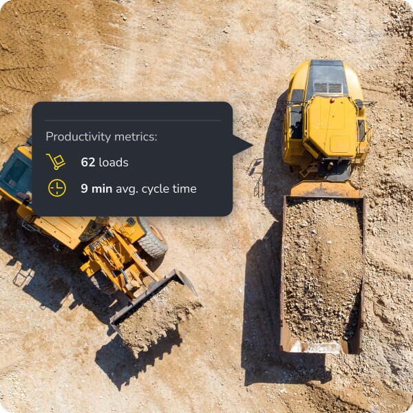
Turn drone flights or ground surveys into actionable volume data in 24 hours. Respond to RFPs faster and with more granular detail than competitors using traditional methods.

Use 3D visual evidence to highlight areas where the design doesn’t match reality. Secure change orders early in the process rather than fighting for them after the work is done.

Whether you are doing a high-level feasibility study or a final, binding quote, Propeller provides the resolution you need.

Fly a drone or use a rover to establish the “Ground Zero” of the project. Process data through Propeller to get an undisputed record of the site before your machines ever arrive.
Access your library of past projects within Propeller to compare similar terrain types and soil conditions, allowing for more accurate historical cost-per-yard estimating.
Yes, Propeller supports DXF, TTM, and LandXML formats, allowing you to overlay designs directly onto your current site survey.
When using AeroPoints and Propeller PPK, you achieve survey-grade accuracy (1/10ft or 3cm), which is more than sufficient for defensible earthwork take-offs.
Absolutely. You can export contours, point clouds, and terrain models (TTM, DXF) to use in HeavyBid, B2W, or other estimation tools.
By documenting the site state at the time of the bid, you have a “visual receipt” to prove when site conditions differ from the contract documents.