Ready to learn more about AeroPoints?
Click on the button below to access and download your AeroPoints™ user manual.
Getting started with AeroPoints is easy.
From activating your AeroPoints to capturing your first survey, we’ve got you covered.
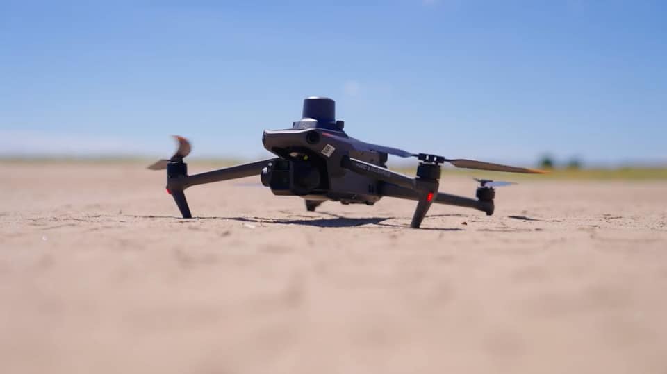
How to Use AeroPoints for the PPK workflow
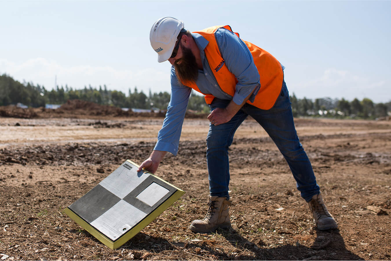
AeroPoint 1s and AeroPoint 2s are smart ground control points (GCPs) used for geotag corrections and model creation. When used with PPK or RTK enabled drones as part of the Propeller PPK workflow, they replace the need for a local base station.
Read the Knowledge Base article below to learn how to use AeroPoints with a Propeller-reccomended drone for a complete end-to-end workflow.
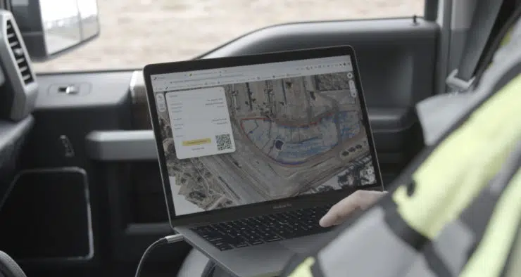
How do I upload AeroPoints data?
After capturing survey data with your AeroPoints, it’s time to upload it into your portal. Uploading is easy, but the steps differ slightly between first-generation AeroPoint 1s and AeroPoint 2s.
Learn how to upload AeroPoints data to your dashboard by reading the Knowledge Base article below.