Why Propeller?
Industries
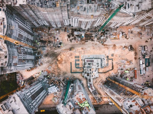
Construction
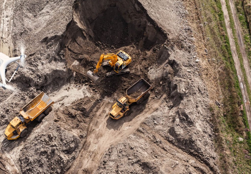
Aggregates + Mining
Waste Management
Survey + Engineering
Workflows
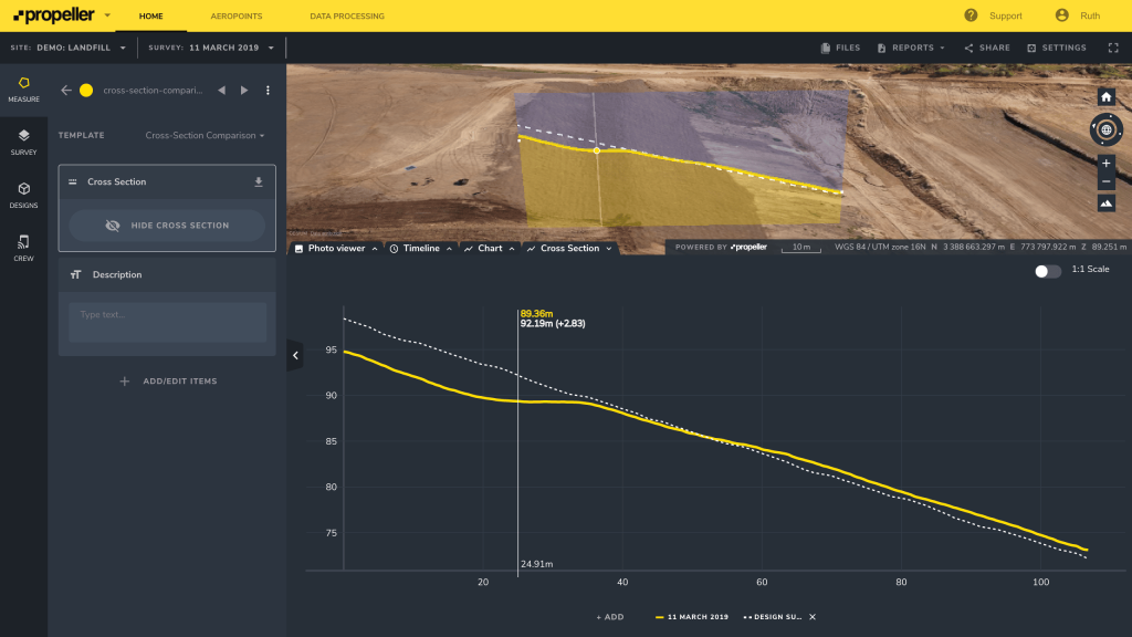
Map
Make data and survey processing simple.
Measure + Manage
Access insights and manage your site like never before.
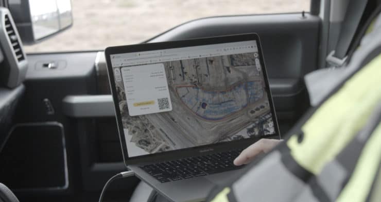
PPK Drone Mapping
Capture, process, and correct survey-grade drone data.
People
Culture + Values
Founders + Board
Open roles
Solutions
PLATFORM
Propeller
A cloud-based workspace where you can map, measure, and manage your site.
Hardware
AeroPoints
DirtMate
Drones + Sensors
Data Services
Photogrammetry Processing
Lidar Processing
Resources
Connect
Training + Support
Learn
Customer Stories
Resource Center
Knowledge Base
English
Deutsch
Login
Contact us
Contact us
Login
Why Propeller?
Industries
Construction
Aggregates + Mining
Waste Management
Survey + Engineering
Workflows
Map
Make data and survey processing simple.
Measure + Manage
Access insights and manage your site like never before.
People
Culture + Values
Founders + Board
Open roles
Solutions
PLATFORM
Propeller
Hardware
AeroPoints
DirtMate
Drones + Sensors
Data Services
Photogrammetry Processing
Lidar Survey Processing
Resources
Connect
Training + Support
Learn
Customer Stories
Resource Center
English
Deutsch
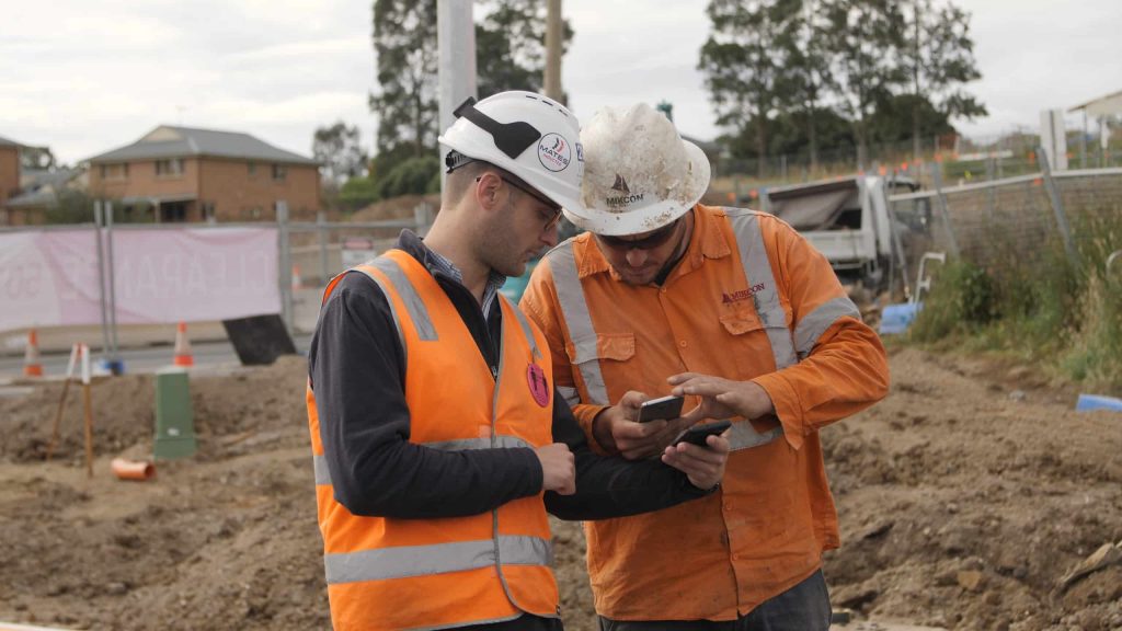
How Do Contractors Use Their Drone Survey and Design Data?
Why Are Site Work Professionals Turning to Drone Surveying?
Key Propeller Platform Features: Providing You Easy Access to Loads of Data
3 Tips to Manage Change Orders (and Save Your Business Money)
How Earthworks and Civil Construction Can Better Protect Our Environment
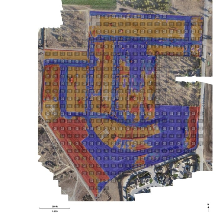
Using Drones to Calculate Cut and Fill Volumes for Takeoff Reporting
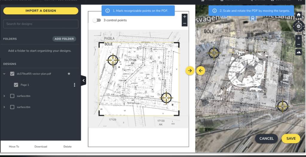
PDF Overlay: Quickly Identify Conflicts between Your Site Design and Current Conditions
4 Tips to Resolve Worksite Disputes With Drone Data
7 Construction Project Management Tips You Should Know
Announcing Enhanced Takeoff Reporting: Customize Your Maps with More Flexibility and Greater Clarity
Previous
1
2
3
4
5
6
…
17
Next
Menu