Technology can play a key role in promoting and advancing environmental sustainability when used in the civil construction and earthworks industries. When worksites function efficiently, projects not only stay on track with fewer mistakes, but they also produce less waste. This makes for a more environmentally friendly construction process, benefitting both the business and the local surroundings.
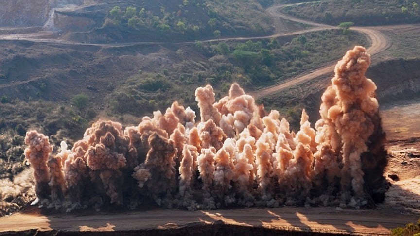
With a focus on minimizing environmental impacts, contractors and environmental teams must consider every tool, process, and plan that can positively influence sustainability. Every aspect of construction, from mining for raw materials to carbon emissions produced by machines moving on job sites, impacts our planet. Here, we share how you can safeguard the environment and better manage protected areas on your worksite by utilizing technology.
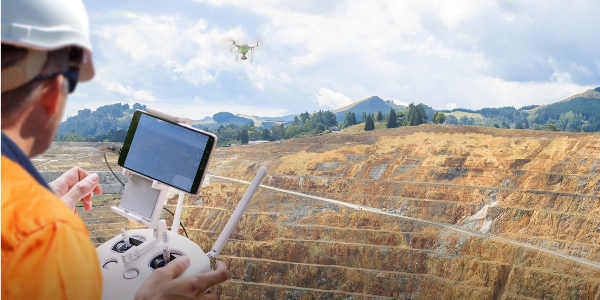
Drone surveying with Propeller PPK
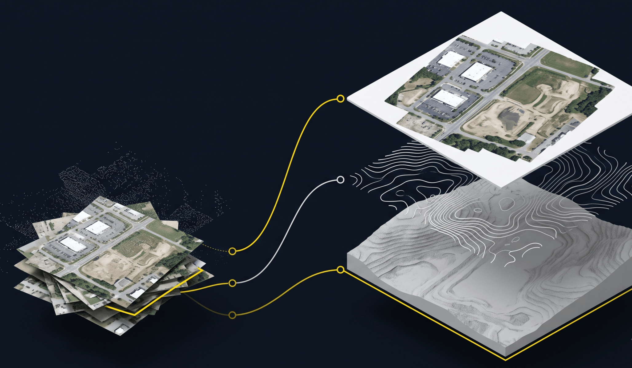
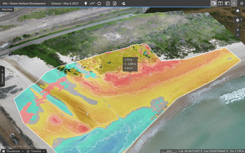
Flying a drone to survey your worksite and then processing that data through Propeller to create a 3D map of your site greatly reduces the time spent in the field. Not only does this save time, energy, and potential rework for your team, it allows you to:
- Monitor progress
- Identify protected areas easier and proactively address impact on natural resources (e.g., wildlife migration corridors, natural water drainage features, protected forests, etc.)
- Spot any potential issues from the topography
- Keep your workers safer
Drones also provide a surprising opportunity for teams to improve Environmental, Social and Governance (known as ESG) concerns in mining. They can make non-intrusive site inspections, providing quick analysis of earthworks, stockpile volumes, surface cracks, positioning of equipment, and much more. Regular drone data collection can also protect nearby vegetation, landmarks, and waterways.
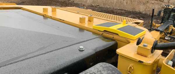
Machine tracking with DirtMate
While drone surveys capture data from the sky, Propeller’s DirtMate captures data on the ground. DirtMate is an easy-to-use, cost effective machine tracking system that gives construction teams a complete and highly accurate view into how their production is tracking each day. This makes worksites more efficient and promotes sustainability by reducing energy consumption, greenhouse gas emissions through excess fuel burn, and unnecessary impact on natural resources.
Petillo’s Environmental Friendly Approach
Petillo Inc., an excavation and site contractor in the greater New Jersey area, worked on a two-phase project where they were required to keep all of the material on-site, for environmental reasons. This 500-acre job site was once used to cast giant motors for boats and airplanes, and after years of ongoing production, the process tainted some of the soil on the site.
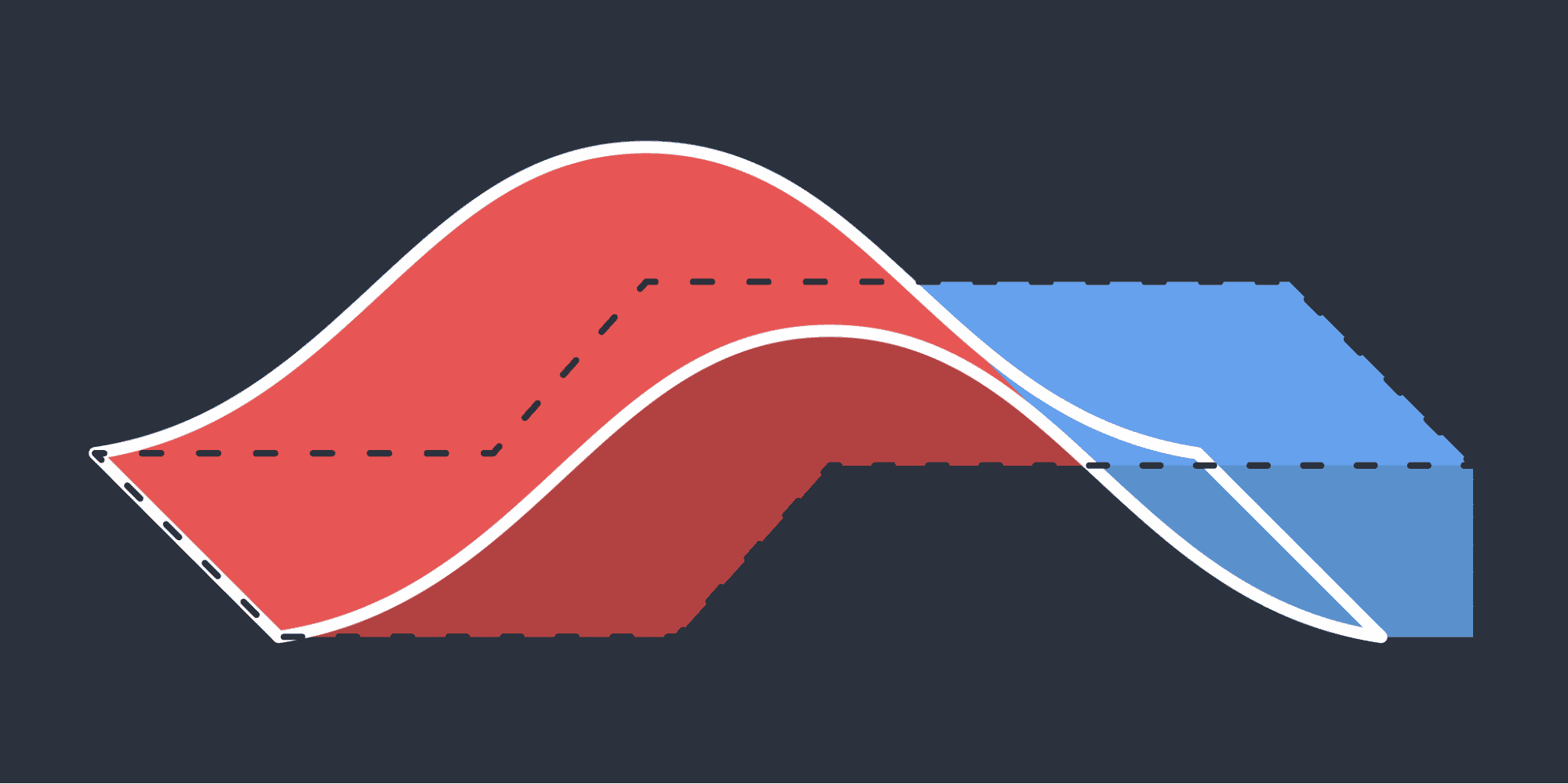
Employing drone surveying with the Propeller Platform, Petillo was able to track where the dirt moved on site and develop stockpile reports with accurate yardages that told them the original location of soil. They could then report this information back to the New Jersey Department of Environmental Protection, who was closely tracking how Petillo dealt with the impacted soil.
To remain competitive and protect the environment, earthworks contractors must be willing to adopt and use technology to build sustainable business practices. These practices will not only benefit the industry, but also the planet as a whole.